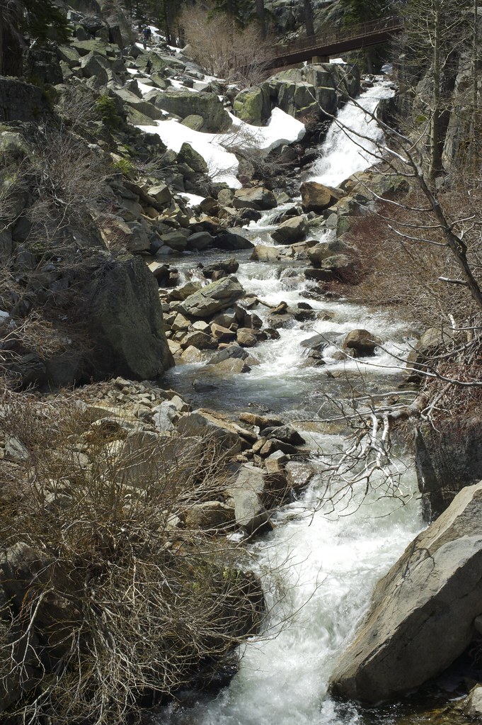
Upper Eagle Falls is an unofficially named waterfall on Eagle Creek in El Dorado County, California, with an estimated height of about 20 feet, in the Desolation Wilderness above Emerald Bay.
The falls
The World Waterfall Database's approximate, lidar-derived height for this waterfall is 20 feet; the entry marks the feature both unconfirmed and unofficially named, at about 6,635 feet elevation on Eagle Creek. Sources for the nearby Middle Eagle Falls and Eagle Falls, downstream on the same creek, do not establish access to this separate upper feature.
Getting there
The nearest trailhead, Eagle Falls, is a Forest Service access point for the Desolation Wilderness near Emerald Bay. Day users need a parking pass and overnight users need a wilderness permit. Day use at the current fee sheet costs $5 per vehicle, waived for overnight permit holders and valid interagency passes; an older fee sheet charged $10 a day. The federal permit reservation system charges a $6 reservation fee, plus $5 per adult for one night or $10 for two to fourteen nights of overnight camping. No maintained trail specifically to Upper Eagle Falls, its distance, or a dated open-or-closed status has been documented.
When to go
Eagle Creek is snowmelt-fed, and Sierra Nevada waterfalls in the area typically run strongest in spring and early summer.
Nearby
Middle Eagle Falls is about 0.1 mile away, Eagle Falls about 0.4 mile, and Eagle Lake Falls about 1 mile.
Distances are straight-line.