Waterfalls in Vermont
229 waterfalls in Vermont across 13 counties, from the USGS dataset; 208 with a measured height. The tallest is Bristol Cliffs Falls at 400 ft. All US waterfalls.
State: Vermont 47
- Alabama 97
- Arizona 66
- Arkansas 280
- California 1,039
- Colorado 345
- Connecticut 79
- Florida 3
- Georgia 298
- Idaho 249
- Illinois 20
- Indiana 24
- Iowa 8
- Kansas 24
- Kentucky 65
- Louisiana 6
- Maine 175
- Maryland 13
- Massachusetts 37
- Michigan 294
- Minnesota 43
- Mississippi 8
- Missouri 11
- Montana 252
- Nebraska 14
- Nevada 25
- New Hampshire 264
- New Jersey 5
- New Mexico 20
- New York 879
- North Carolina 495
- North Dakota 1
- Ohio 26
- Oklahoma 30
- Oregon 1,342
- Pennsylvania 274
- Rhode Island 5
- South Carolina 22
- South Dakota 10
- Tennessee 427
- Texas 71
- Utah 76
- Vermont 229
- Virginia 127
- Washington 2,596
- West Virginia 13
- Wisconsin 83
- Wyoming 267
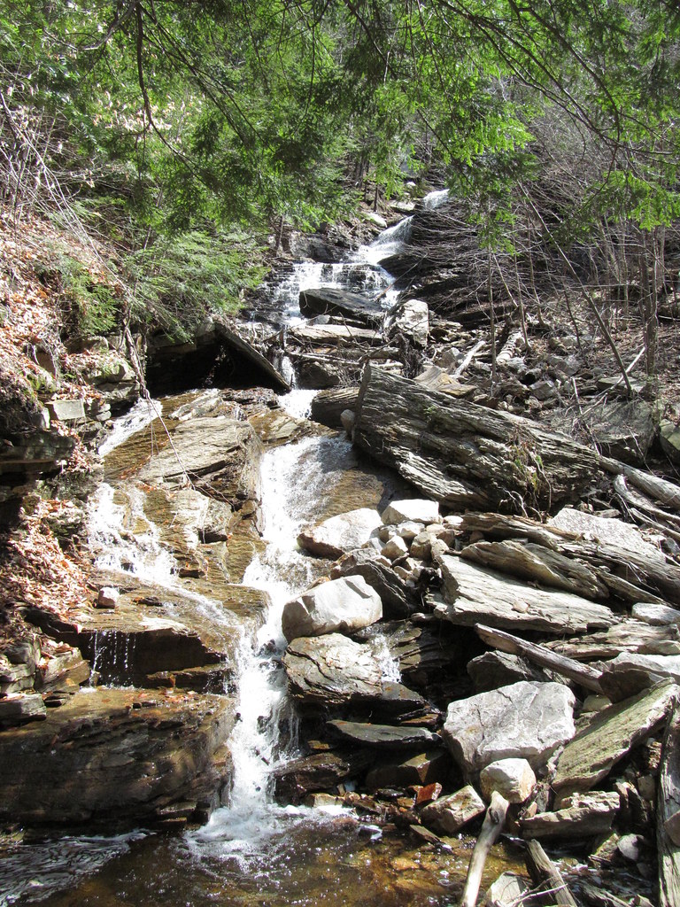
- Tallest drop 160 ft
- 3 mi from Manchester Center
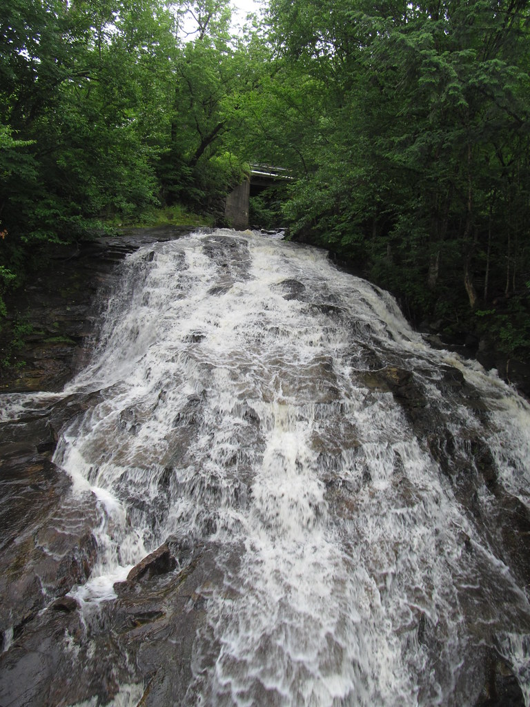
- On Marshfield Brook
- 11 mi from Hardwick
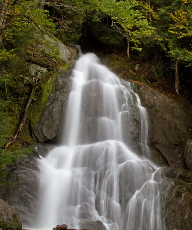
- Tallest drop 60 ft · 4 drops
- On Moss Glen Brook
- 3 mi from Stowe
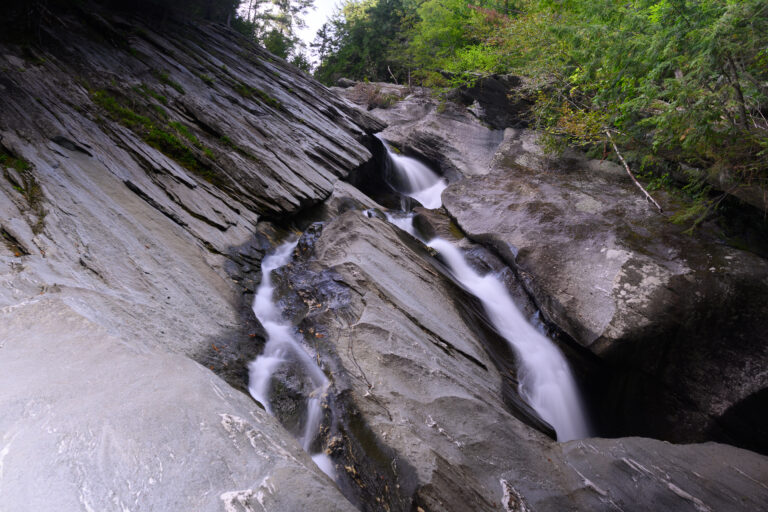
- Tallest drop 62 ft · 4 drops
- On Cobb Brook
- 3 mi from Jamaica
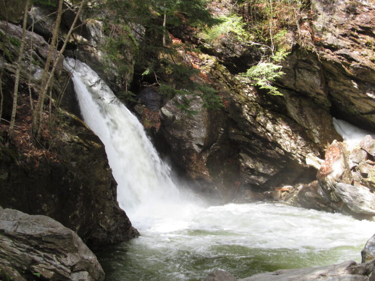
- Tallest drop 31 ft · 6 drops
- On West Branch Waterbury River
- 6 mi from Stowe
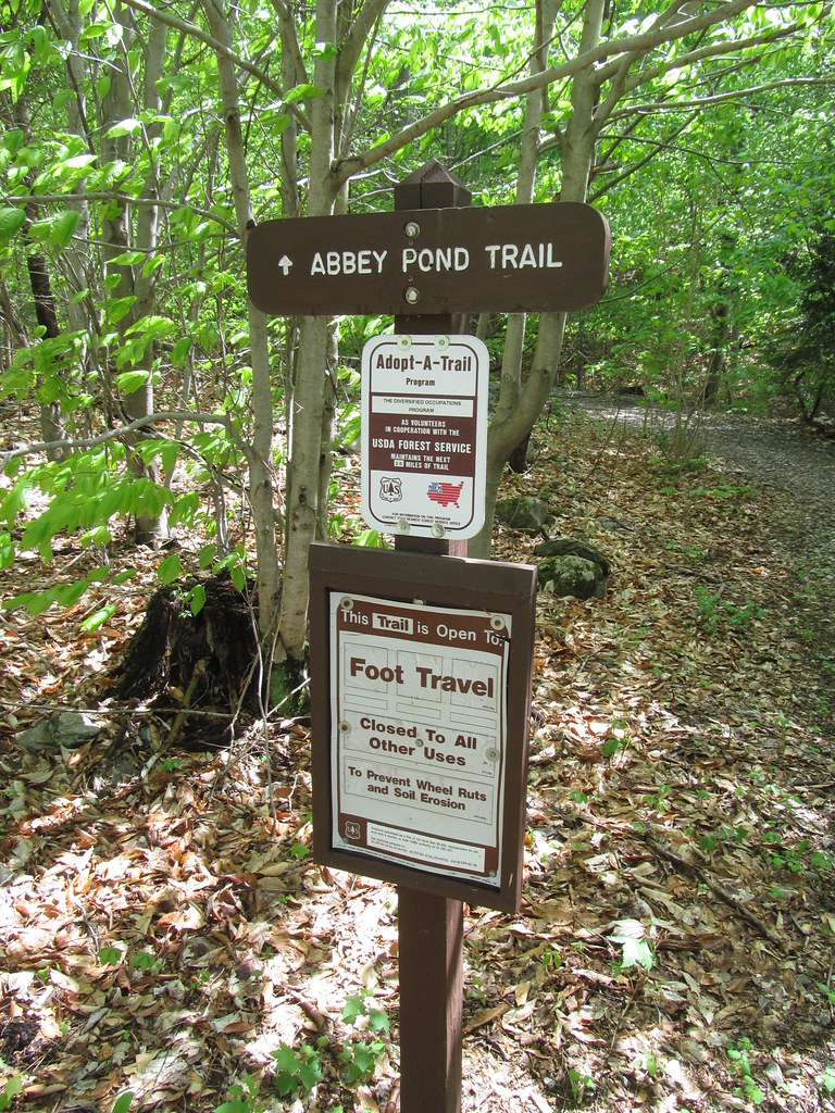
- Tallest drop 20 ft · 6 drops
- On outlet of Abbey Pond
- 4 mi from Middlebury (village)
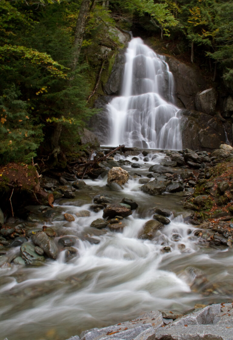
- On Deer Hollow Brook
- 10 mi from Lincoln
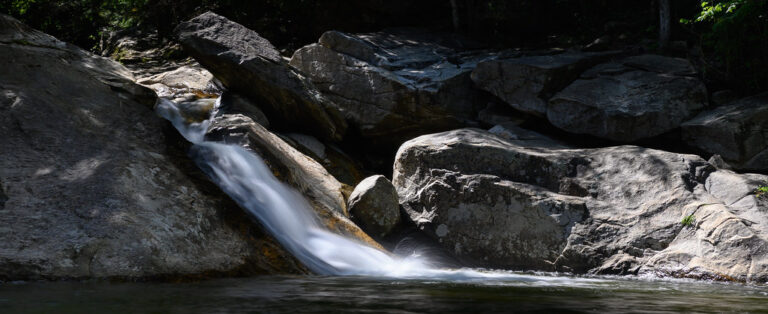
- Tallest drop 21 ft · 2 drops
- On North Branch Brook
- 4 mi from Jamaica
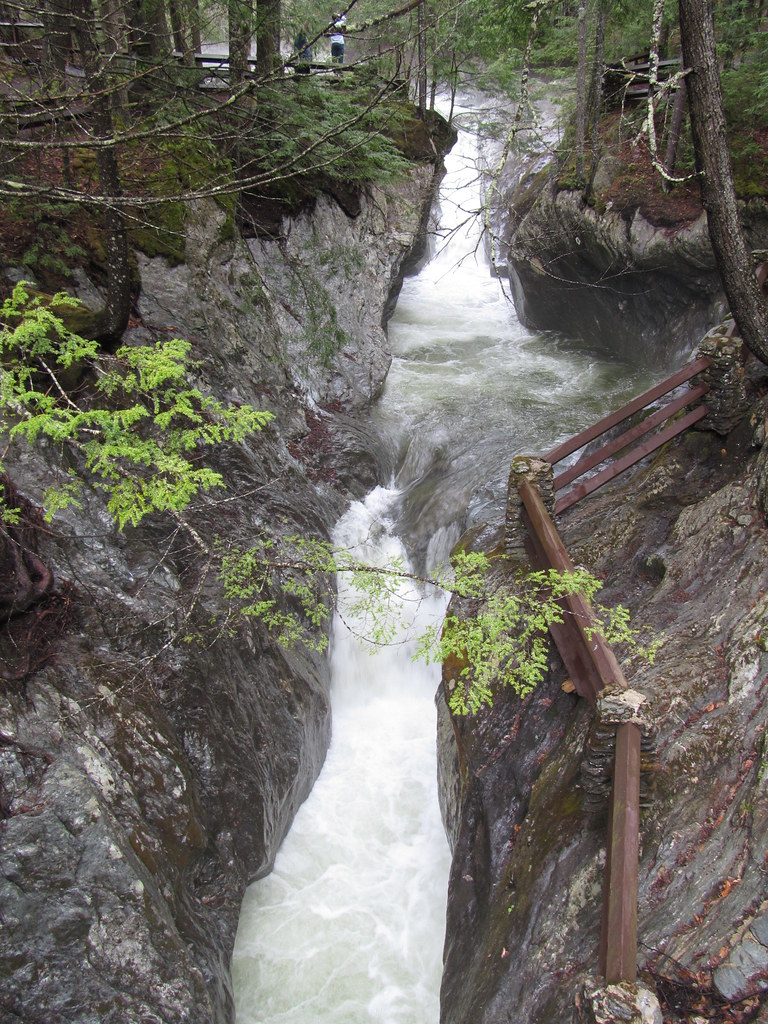
- Tallest drop 12 ft · 3 drops
- On Hancock Brook
- 10 mi from Salisbury
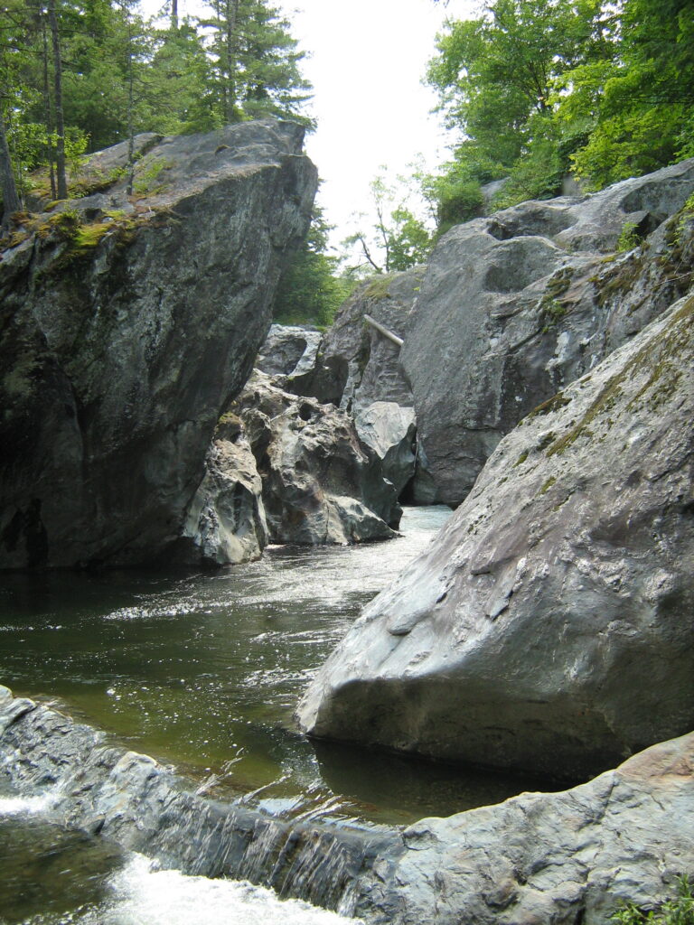
- Tallest drop 12 ft · 4 drops
- On Huntington River
- 7 mi from Williston
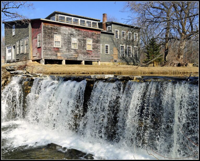
- On Neshobe River
- Under 1 mi from Brandon
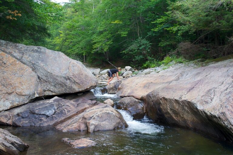
- Tallest drop 15 ft · 2 drops
- On Branch Brook
- 5 mi from Mount Holly
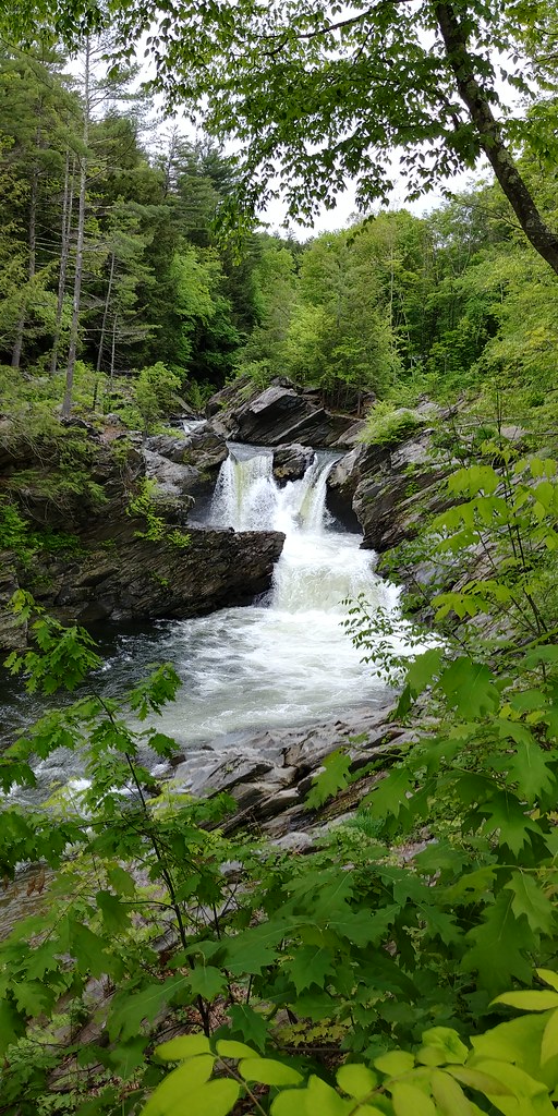
- Tallest drop 14 ft · 2 drops
- On Saxtons River
- 1 mi from Bellows Falls
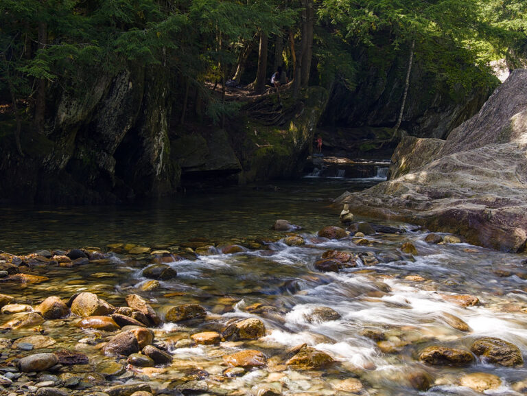
- Tallest drop 10 ft · 3 drops
- On Mad River
- 7 mi from Lincoln
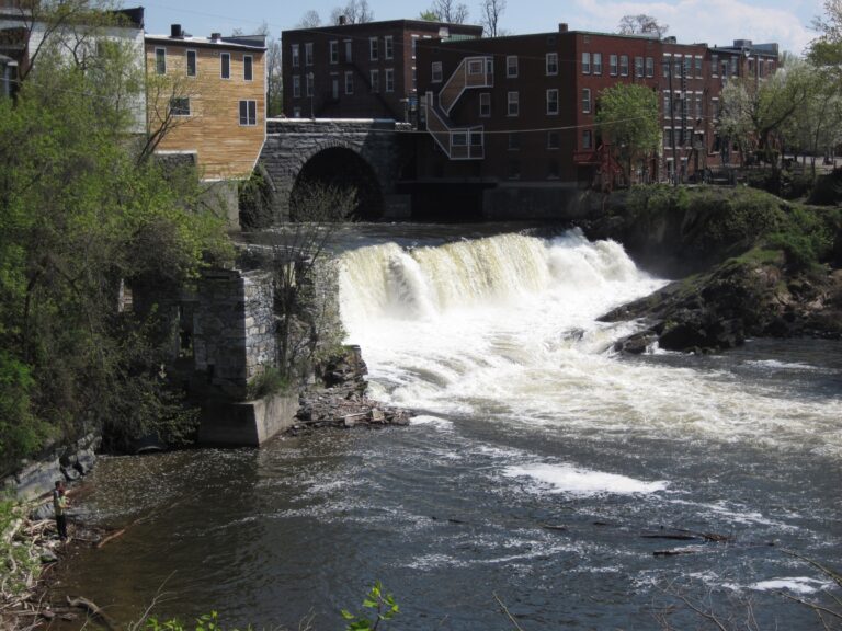
- On Otter Creek
- Under 1 mi from Middlebury (village)
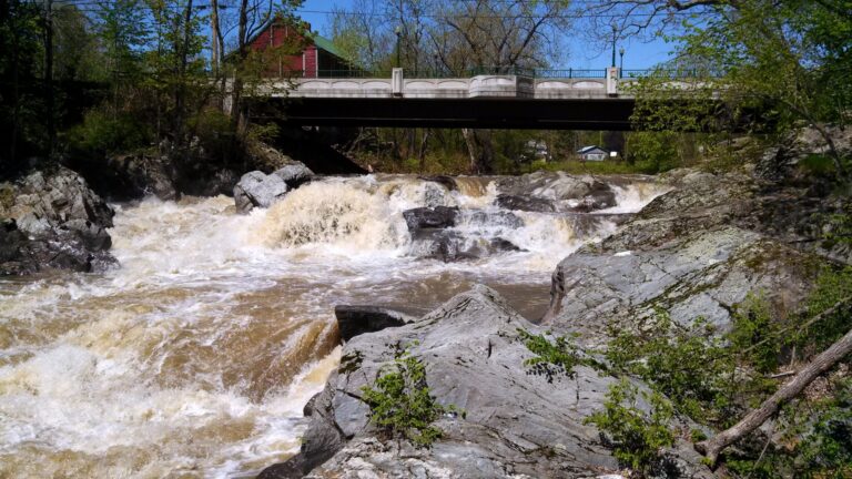
- On Saxtons River
- 3 mi from Bellows Falls
- On LaPlatte River
- 5 mi from Charlotte

- Tallest drop 15 ft
- On Duck Brook
- 8 mi from Williston
- Tallest drop 50 ft
- On outlet of Berlin Pond
- 2 mi from Montpelier
- On Mollys Brook
- 10 mi from Hardwick
- 9 drops
- On Rock River
- 2 mi from Dover
Vermont waterfalls: Green Mountain trails, roadside drops and 2026 conditions
Nearly every brook that drops off the Green Mountains in Vermont finds a ledge of resistant rock to fall over, which is why 230 named waterfalls turn up across this small state. The range runs north to south through the middle of Vermont, slightly west of center, and its hard rock holds up short drops in nearly every county. Most falls sit close to the mountains; the lower valleys toward Lake Champlain and the colder Northeast Kingdom add fewer.
Where the waterfalls are
The Green Mountains cross Addison, Bennington, Chittenden, Lamoille, Orleans, Rutland, Washington and Windham counties, and most of Vermont's falls sit on or below them. Washington County, around the Worcester Range and the Mad River Valley, has the most of any county with 41, followed by Addison County (27) on the range's western slope and Lamoille County (22) around Mount Mansfield and Stowe. Chittenden County and Franklin County, both with 21, slope down toward the Champlain Valley, while Rutland County (16) and Bennington County (9), at the range's southern end, hold the deeper hikes inside the Green Mountain National Forest. East of the mountains, Windsor County (16), Windham County (17) and Orange County (13) drain toward the Connecticut River, and in the far northeast the colder Northeast Kingdom counties of Caledonia County (16), Orleans County (8) and Essex County (3) add falls on rivers draining north toward Canada.
Waterfalls worth the trip
- Moss Glen Falls drops 112 feet over open ledges in Stowe; the short route from a small lot on Moss Glen Falls Road, off Route 100, is a 0.6-mile round trip with 150 feet of climbing.
- Bingham Falls tumbles 91 feet down six rock steps on the West Branch Waterbury River; a steep, quarter-mile descent from pullouts on Route 108 reaches the base, through a gorge the state bought in 2001.
- Hamilton Falls falls 104 feet in four tiers on Cobb Brook, though Vermont's own natural-area page gives 125. The sanctioned route is a 3-mile, one-way hike from Jamaica State Park; a handful of closer parking spots on West Windham Road are kept for hikers who can't make that walk.
- Lye Brook Falls, on national forest land near Manchester, measures 219 feet in its visible drop; the Forest Service's own trail guide gives 125 feet for the falls. Reaching it is a round trip of about 4.6 miles on the Lye Brook Trail with roughly 740 feet of climbing.
- Texas Falls drops 31 feet in three steps on Hancock Brook, an easy 1.2-mile loop with about 70 feet of climbing from a Green Mountain National Forest picnic ground off Route 125.
- Warren Falls steps down 20 feet on the Mad River in three short drops; a gently graded, 0.1-mile trail reaches an accessible overlook, and other marked paths lead down to the river's wading pools.
- Moss Glen Falls in Granville Gulf drops 68 feet in a single plunge next to Route 100; the footbridge that once brought hikers close to its base has been out since flood damage in July 2023, so most visitors now view it from the road shoulder.
When to go
Snowmelt and spring rain give Vermont's brook-fed falls their fullest flow from March into June; Hamilton Falls narrows a great deal once that runoff ends, while spring-fed drops like Texas Falls and the Granville Gulf Moss Glen Falls keep running through the year, just thinner in a dry summer. Winter closes what plowing doesn't reach: the access road to Lye Brook Falls near Manchester isn't plowed in winter, and Jamaica State Park, the trailhead for Hamilton Falls, is open only through October 12, 2026.
Fees, access and flood damage
Vermont State Parks charge $5 a day for visitors 14 and up and $2 for ages 4 to 13, with children under 4 free; a season vehicle pass costs $105 and an individual season pass $40. These rates have applied since July 2025 and cover Jamaica State Park, the gateway to Hamilton Falls. Green Mountain National Forest trailheads such as Lye Brook and Warren Falls charge nothing to park, and the picnic ground at Texas Falls is free without a reservation.
Flood damage from 2023 and 2024 is still being repaired. Sections of the Lye Brook Trail were being rebuilt in 2026 with federal emergency-road and FEMA-linked funds after back-to-back flood years damaged bridges and trail beds nearby. Abbey Pond Cascades, on national forest land near Middlebury, is currently closed.
Safety
Hamilton Falls has more than twelve deaths tied to swimming or wading in its upper and middle pools, which is why the state discourages entering the water there at all. Bingham Falls carries a similar hazard: its narrow channels create dangerous currents in the pools above the falls, and slipping near the edge can be fatal. Stay off wet ledges and out of pools where the current below a drop isn't visible from the bank.
Waterfalls in Vermont on the map
Numbers show how many sit in that area; zoom in or click to split them, click a marker for details.
Tallest waterfalls in Vermont
- Bristol Cliffs Falls400 ftAddison County
- Smugglers Falls290 ftLamoille County
- Lye Brook Falls219 ftBennington County
- Duck Brook Cascades172 ftChittenden County
- Benjamin Falls165 ftWashington County
- Mollys Falls145 ftWashington County
- Rock River Cascades145 ftWindham County
- Gerrys Falls125 ftWindsor County
- Lana, Falls of124 ftAddison County
- Great Falls116 ftOrleans County
Waterfalls by county
Vermont has named waterfalls in 13 counties. The most are in Washington County (40), Addison County (27), Lamoille County (22), Chittenden County (21), Franklin County (21), Windham County (17). Every county has its own page with a map and the tallest falls:
- Addison County 27
- Bennington County 9
- Caledonia County 16
- Chittenden County 21
- Essex County 3
- Franklin County 21
- Lamoille County 22
- Orange County 13
- Orleans County 8
- Rutland County 16
- Washington County 40
- Windham County 17
- Windsor County 16
Types of waterfalls in Vermont
tiered (121), cascade (44), block (14), punchbowl (7), dam (6), slide (6). What the types mean is explained in the guide to waterfall types.
About the data
Of the 229 waterfalls in Vermont, 208 have a measured height, 131 have coordinates verified against aerial imagery and 17 have photos. Heights are the total drop as recorded by the source; falls without a measurement are listed without one. Every page has the stream, the nearest town and distance, a map with directions and a review form for photos and notes.