Waterfalls in Colorado
345 waterfalls in Colorado across 41 counties, from the USGS dataset; 249 with a measured height. The tallest is Falls Creek Falls at 820 ft. All US waterfalls.
State: Colorado 47
- Alabama 97
- Arizona 66
- Arkansas 280
- California 1,039
- Colorado 345
- Connecticut 79
- Florida 3
- Georgia 298
- Idaho 249
- Illinois 20
- Indiana 24
- Iowa 8
- Kansas 24
- Kentucky 65
- Louisiana 6
- Maine 175
- Maryland 13
- Massachusetts 37
- Michigan 294
- Minnesota 43
- Mississippi 8
- Missouri 11
- Montana 252
- Nebraska 14
- Nevada 25
- New Hampshire 264
- New Jersey 5
- New Mexico 20
- New York 879
- North Carolina 495
- North Dakota 1
- Ohio 26
- Oklahoma 30
- Oregon 1,342
- Pennsylvania 274
- Rhode Island 5
- South Carolina 22
- South Dakota 10
- Tennessee 427
- Texas 71
- Utah 76
- Vermont 229
- Virginia 127
- Washington 2,596
- West Virginia 13
- Wisconsin 83
- Wyoming 267
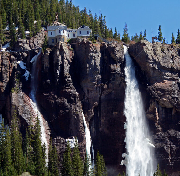
- On Bridal Veil Creek
- 3 mi from Telluride
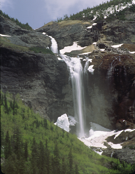
- Tallest drop 235 ft · 3 drops
- On Ingram Creek
- 3 mi from Telluride
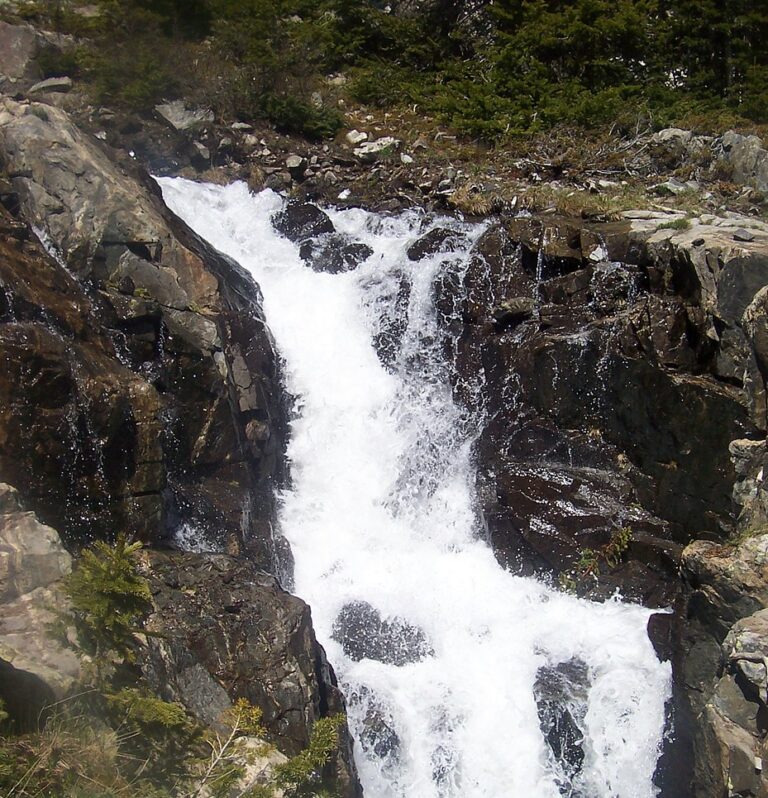
- On Spruce Creek
- 5 mi from Breckenridge

- On Bear Creek
- 2 mi from Ouray
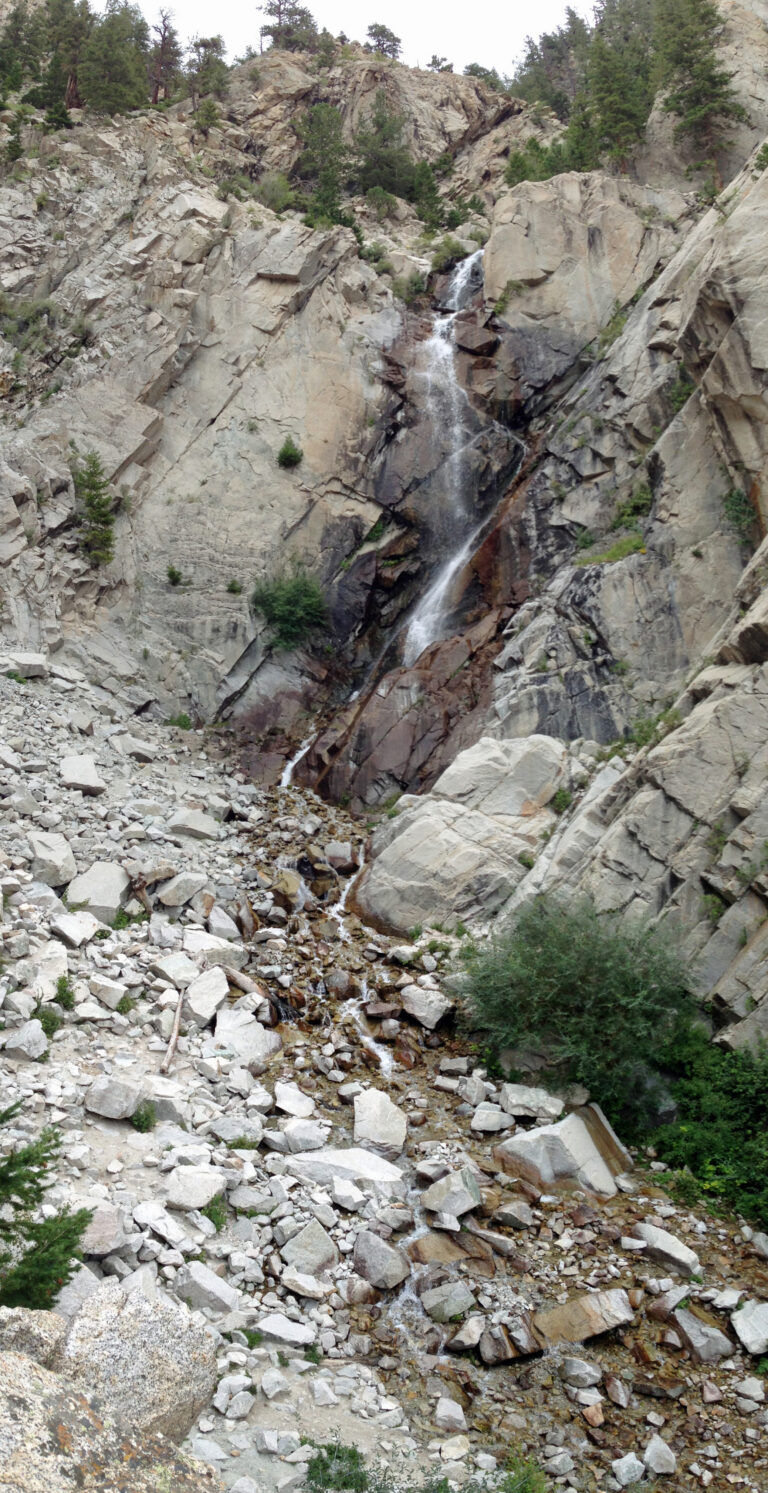
- Tallest drop 95 ft · 3 drops
- On tributary of Chalk Creek
- 10 mi from Buena Vista

- Tallest drop 115 ft · 4 drops
- 26 mi from Montrose
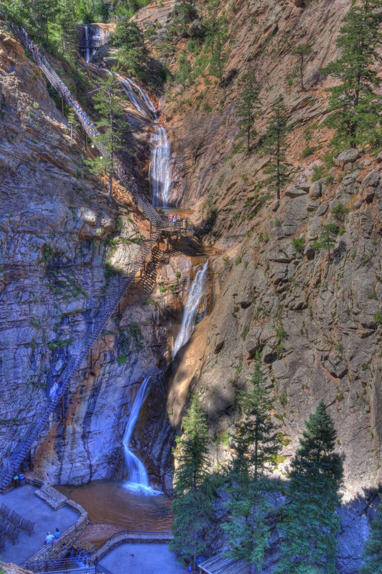
- Tallest drop 45 ft · 6 drops
- On South Cheyenne Creek
- 5 mi from Colorado Springs
- On Fall Creek
- 14 mi from Pagosa Springs
- On Cheyenne Creek
- 5 mi from Manitou Springs
- Tallest drop 95 ft · 3 drops
- On Fish Creek
- 3 mi from Steamboat Springs
- Tallest drop 30 ft
- On Soda Creek
- Under 1 mi from Idaho Springs

- On North Clear Creek
- 31 mi from Ouray
- Tallest drop 45 ft · 2 drops
- On East Fork Piedra River
- 16 mi from Pagosa Springs
- On Hutcheson Cony Creek
- 13 mi from Estes Park
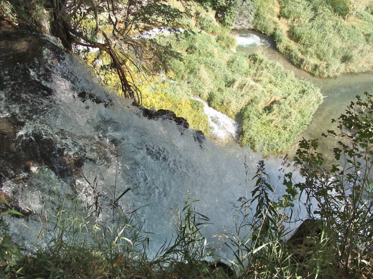
- On East Rifle Creek
- 9 mi from Silt
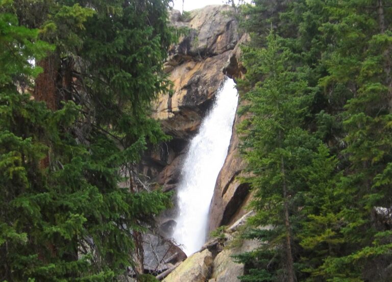
- Tallest drop 40 ft
- On Ouzel Creek
- 13 mi from Estes Park
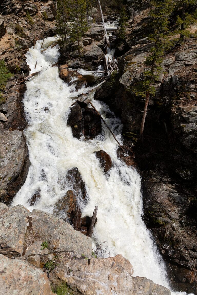
- 2 drops
- On East Inlet
- 13 mi from Granby
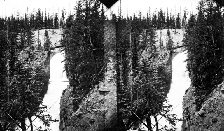
- Tallest drop 40 ft · 2 drops
- On Lake Fork Gunnison River
- 21 mi from Ouray
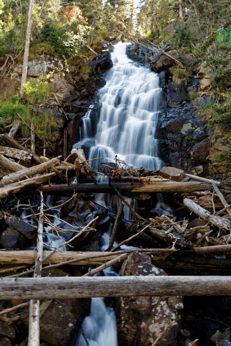
- Tallest drop 40 ft · 2 drops
- On Fern Creek
- 8 mi from Estes Park

- Tallest drop 25 ft · 2 drops
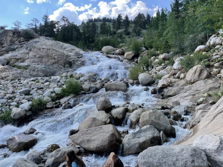
- On Fall River
- 8 mi from Estes Park
- On Roaring River
- 6 mi from Estes Park
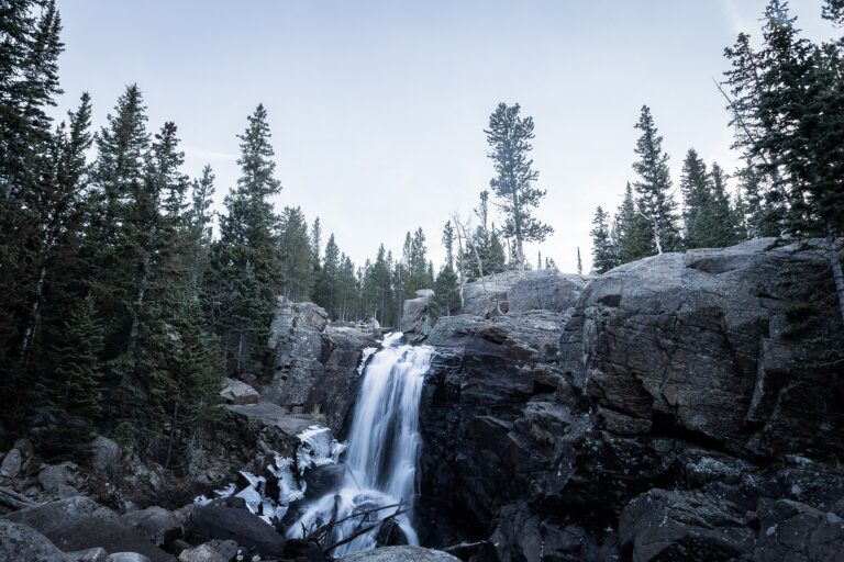
- Tallest drop 20 ft · 2 drops
- On Glacier Creek
- 8 mi from Estes Park
- On East Fork Dead Horse Creek
- 8 mi from Glenwood Springs
Colorado's waterfalls, from glacial cliffs to volcanic canyons
Water gets off Colorado's mountains three different ways, and each has left its own kind of waterfall. At Telluride, glaciers cut a side valley hundreds of feet shallower than the main canyon, leaving Bridal Veil Creek to leap off the rim in a single plunge; the same hanging-valley pattern recurs across the high peaks. In the San Juan Mountains, ash from ancient eruptions hardened into the volcanic tuff that North Clear Creek Falls drops over. And in Glenwood Canyon, spring water loaded with dissolved limestone builds the travertine terraces at Rifle Falls and Hanging Lake. Between them, these three settings account for most of the state's 345 named waterfalls, concentrated above all in the volcanic San Juans of the southwest and along the glaciated spine of the Front Range.
Where the waterfalls are
The San Juan Mountains hold the largest share by far. Ouray County, Hinsdale County, Mineral County, Archuleta County and San Miguel County together carry well over a hundred listings, from the highway overlook south of Ouray to the box canyon above Telluride.
Rocky Mountain National Park's granite falls fill Larimer County and Boulder County on the park's east side and Grand County on the quieter west side toward Grand Lake. Central Colorado adds a third band: Garfield County alone counts 40 listings, spanning Glenwood Canyon's travertine springs and remote drainages toward the Roan Plateau, while Eagle County, Gunnison County, Pitkin County and Summit County cover the glacial cirques around Vail, Crested Butte, Aspen and Breckenridge. Granite canyon falls above Colorado Springs fill El Paso County, and the Sangre de Cristo Mountains add Alamosa County and Conejos County in the San Luis Valley.
Waterfalls worth the trip
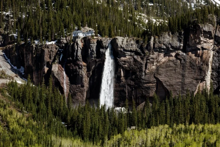
- Bridal Veil Falls, 365 feet in a single plunge above Telluride, is the tallest free-falling waterfall in Colorado. A hydroelectric plant built in 1907 still runs on the brink, on private mining land; the rough road up from town reaches the base in about 2 miles round trip.
- Seven Falls, 175 feet over six granite tiers south of Colorado Springs, is a fee-gated private attraction with timed tickets that cost less in the early morning or evening than at midday.
- Rifle Falls, 65 feet over three plunges split by an old hydro diversion, drops over travertine terraces in a state park with caves to explore behind the falls.
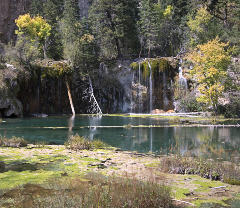
- Hanging Lake Falls, 35 feet, feeds the travertine-rimmed lake above it. The trail climbs 1,200 feet in 1.2 miles, and every visitor needs a paid, timed reservation.
- Zapata Falls, 30 feet, drops through a narrow slot canyon at the foot of the Sangre de Cristo Mountains, a half-mile walk from the trailhead.
- Alberta Falls, 40 feet on Glacier Creek, is one of the most-visited short hikes in Rocky Mountain National Park, reached from the Bear Lake Road corridor.
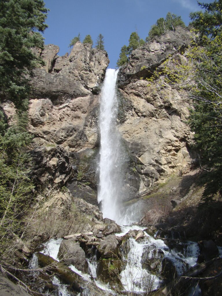
- Treasure Falls, 170 feet, drops on Fall Creek below Wolf Creek Pass, close enough to US 160 for a short walk to the viewpoint.
- Agnes Vaille Falls, 180 feet in three steps below Mount Princeton, is seen from a loop trail; the old spur to its base has been closed since a fatal 2013 rockslide.
When to go
Rifle Falls is spring-fed and runs year-round. Zapata Falls runs full through summer, then grows a thick column of ice once winter sets in, a pattern many high San Juan and Front Range falls follow: strongest with snowmelt, thinner by late summer, frozen by midwinter. Rocky Mountain National Park's roads and shuttles run through its Timed Entry season, May 22 through mid-October in 2026.
Fees, permits and closures
Rocky Mountain National Park charges $30 a vehicle for one day or $35 for seven days. In 2026 the Bear Lake Road corridor, including Alberta Falls, needs a Timed Entry+ reservation for arrivals between 5 a.m. and 6 p.m. from May 22 through October 18; the rest of the park needs an ordinary Timed Entry reservation for arrivals between 9 a.m. and 2 p.m. over roughly the same season, each booked on Recreation.gov for a $2 fee. Hanging Lake requires its own year-round timed permit, $12 a person, with parking included and no shuttle to the trailhead. Rifle Falls charges $10 to $15 per vehicle. Outside Steamboat Springs, an annual Forest Service order closes the Fish Creek Falls footbridge and the trail above it from April 1 to July 1.
Safety
Agnes Vaille Falls has stayed closed above its main viewpoint since a rockslide killed five members of one family in September 2013; stay on the marked loop rather than scrambling toward the old slide path. At Bridal Veil Falls above Telluride, the hydro plant and the cliff top are private property, and the frozen face draws technical ice climbers under a license from the mine's owner; casual visitors should stay on the public road and out of the water below.
Waterfalls in Colorado on the map
Numbers show how many sit in that area; zoom in or click to split them, click a marker for details.
Tallest waterfalls in Colorado
- Falls Creek Falls820 ftHinsdale County
- West Fork Chama Falls570 ftArchuleta County
- Ben Good Creek Falls530 ftGarfield County
- Chama Falls490 ftConejos County
- Fall Creek Falls490 ftOuray County
- Granlee Gulch Falls445 ftGarfield County
- Belford Falls410 ftChaffee County
- Black Lake Falls400 ftLarimer County
- Light Gulch Falls400 ftGarfield County
- Squaretop Creek Falls400 ftArchuleta County
Waterfalls by county
Colorado has named waterfalls in 41 counties. The most are in Garfield County (40), Larimer County (28), Ouray County (23), Eagle County (20), Archuleta County (19), Hinsdale County (19). Every county has its own page with a map and the tallest falls:
- Alamosa County 1
- Archuleta County 19
- Boulder County 13
- Chaffee County 8
- Clear Creek County 4
- Conejos County 16
- Custer County 4
- Delta County 2
- Dolores County 6
- Douglas County 1
- Eagle County 20
- El Paso County 9
- Fremont County 8
- Garfield County 40
- Gilpin County 1
- Grand County 9
- Gunnison County 17
- Hinsdale County 19
- Huerfano County 1
- Jackson County 2
- Jefferson County 2
- La Plata County 5
- Lake County 2
- Larimer County 28
- Las Animas County 1
- Mesa County 6
- Mineral County 19
- Moffat County 5
- Montezuma County 2
- Ouray County 23
- Park County 2
- Pitkin County 9
- Pueblo County 1
- Rio Blanco County 1
- Rio Grande County 1
- Routt County 6
- Saguache County 3
- San Juan County 7
- San Miguel County 13
- Summit County 6
- Teller County 3
Types of waterfalls in Colorado
tiered (88), horsetail (58), cascade (39), plunge (27), fan (8), segmented (7). What the types mean is explained in the guide to waterfall types.
About the data
Of the 345 waterfalls in Colorado, 249 have a measured height, 138 have coordinates verified against aerial imagery and 33 have photos. Heights are the total drop as recorded by the source; falls without a measurement are listed without one. Every page has the stream, the nearest town and distance, a map with directions and a review form for photos and notes.