Waterfalls in New Hampshire
264 waterfalls in New Hampshire across 9 counties, from the USGS dataset; 221 with a measured height. The tallest is Beaver Brook Cascades at 790 ft. All US waterfalls.
State: New Hampshire 47
- Alabama 97
- Arizona 66
- Arkansas 280
- California 1,039
- Colorado 345
- Connecticut 79
- Florida 3
- Georgia 298
- Idaho 249
- Illinois 20
- Indiana 24
- Iowa 8
- Kansas 24
- Kentucky 65
- Louisiana 6
- Maine 175
- Maryland 13
- Massachusetts 37
- Michigan 294
- Minnesota 43
- Mississippi 8
- Missouri 11
- Montana 252
- Nebraska 14
- Nevada 25
- New Hampshire 264
- New Jersey 5
- New Mexico 20
- New York 879
- North Carolina 495
- North Dakota 1
- Ohio 26
- Oklahoma 30
- Oregon 1,342
- Pennsylvania 274
- Rhode Island 5
- South Carolina 22
- South Dakota 10
- Tennessee 427
- Texas 71
- Utah 76
- Vermont 229
- Virginia 127
- Washington 2,596
- West Virginia 13
- Wisconsin 83
- Wyoming 267
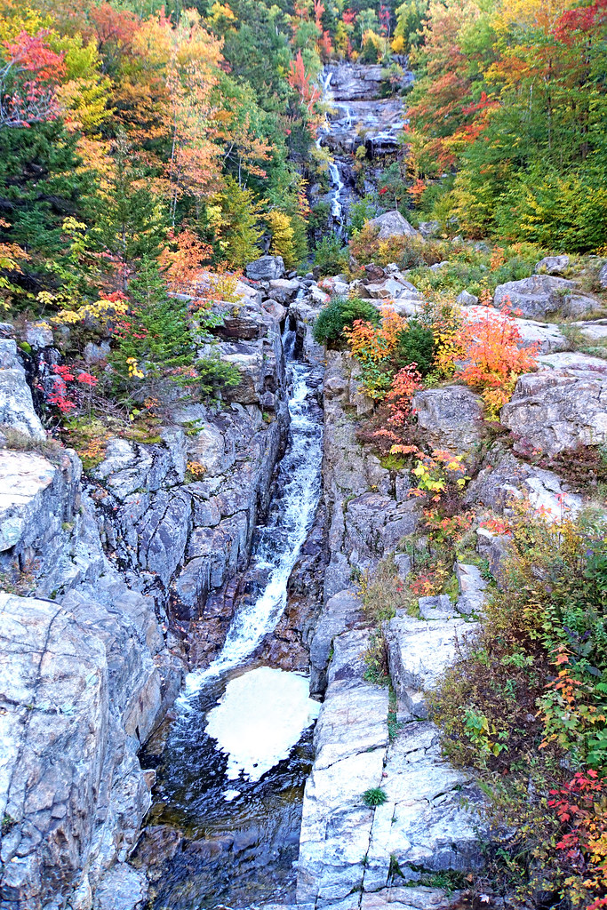
- Tallest drop 80 ft
- 11 mi from Deerfield
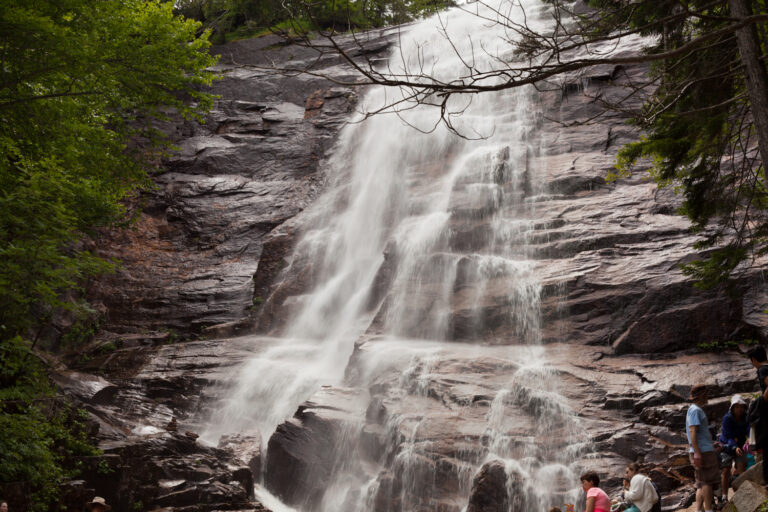
- On Bemis Brook
- 13 mi from Deerfield
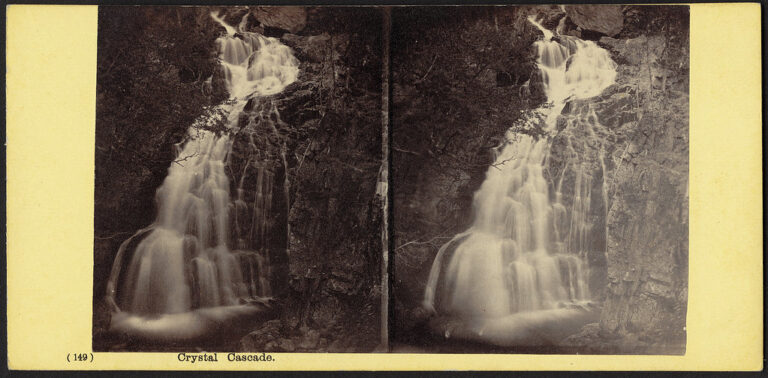
- Tallest drop 54 ft · 6 drops
- On Cutler River
- 10 mi from Gorham
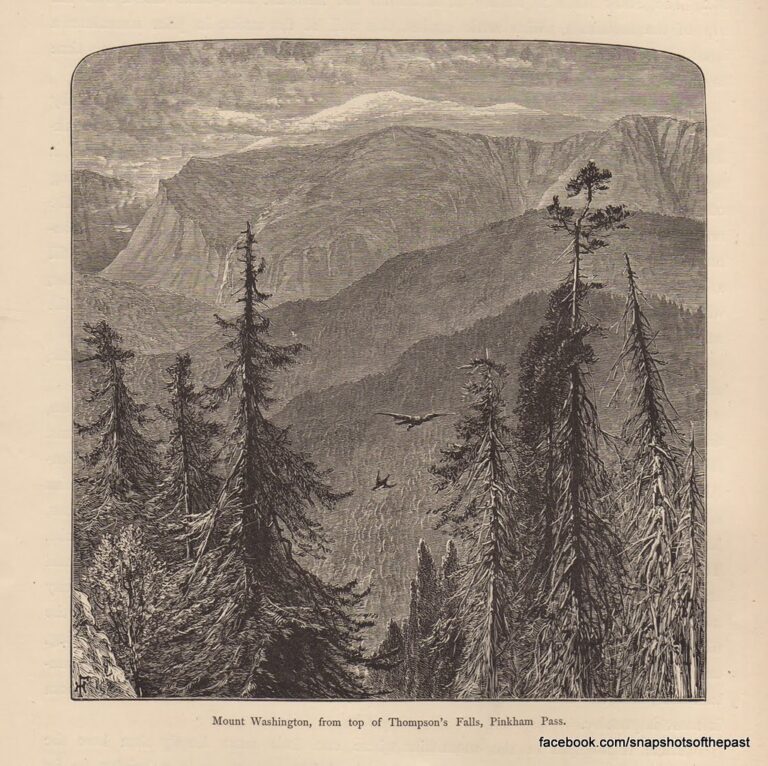
- Tallest drop 40 ft · 5 drops
- On Thompson Brook
- 9 mi from Gorham
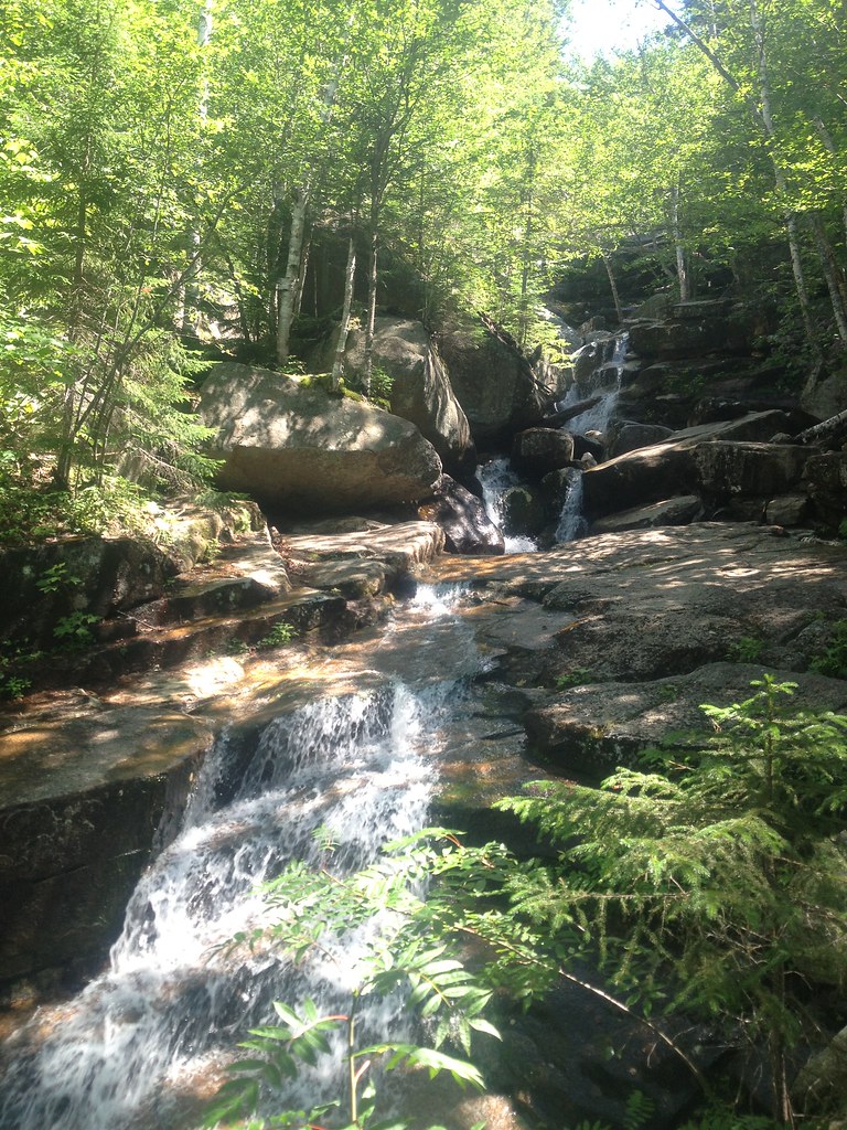
- 6 drops
- On Champney Brook
- 8 mi from Tamworth
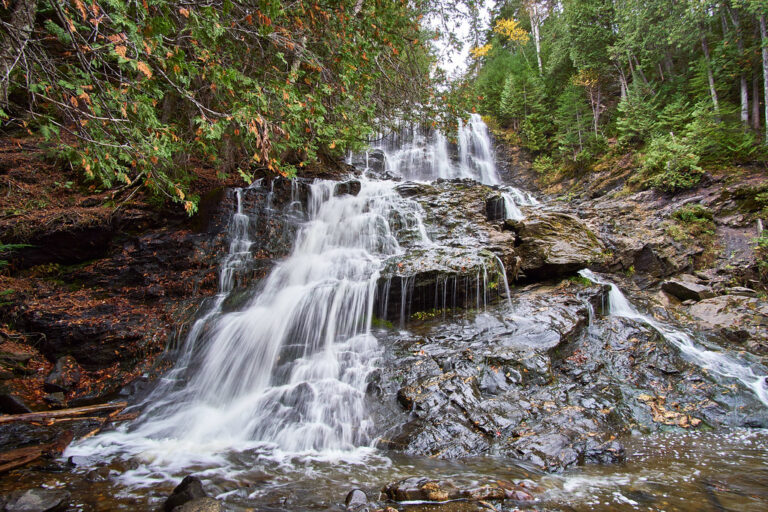
- Tallest drop 50 ft · 3 drops
- On Beaver Brook
- 2 mi from Colebrook
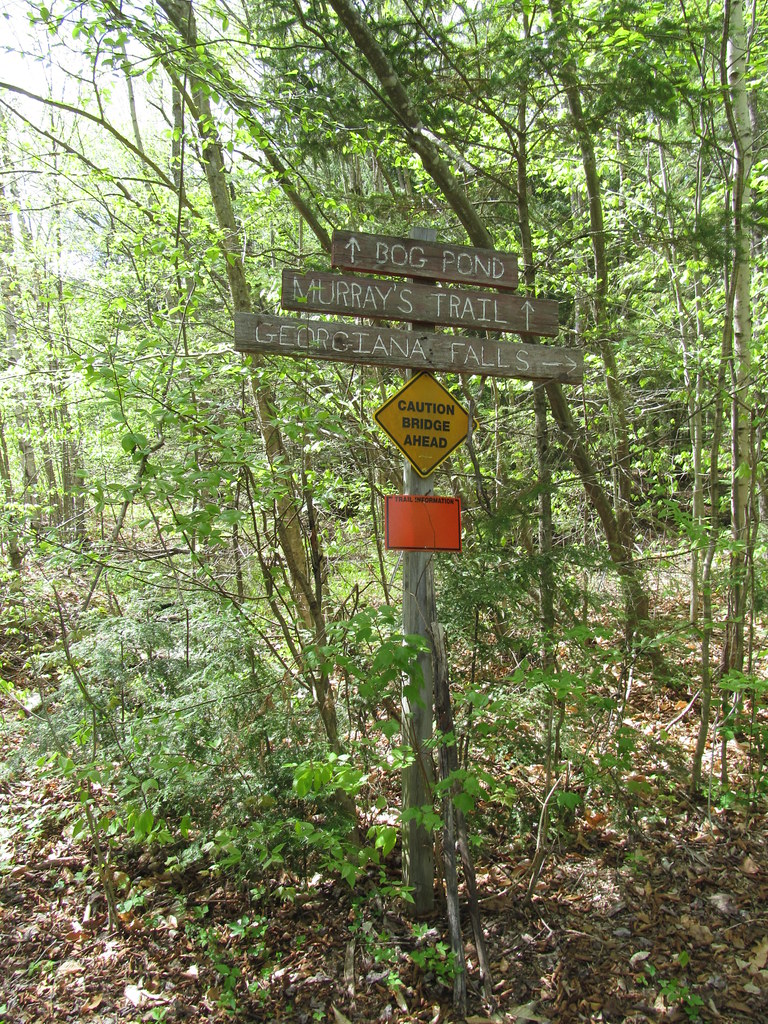
- Tallest drop 51 ft · 3 drops
- On Harvard Brook
- 7 mi from Woodstock
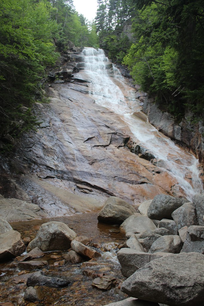
- On Avalanche Brook
- 12 mi from Deerfield
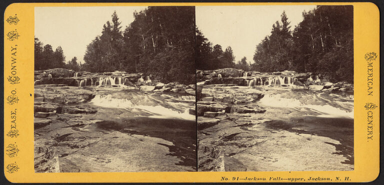
- Tallest drop 25 ft · 6 drops
- On Wildcat Brook
- 7 mi from North Conway
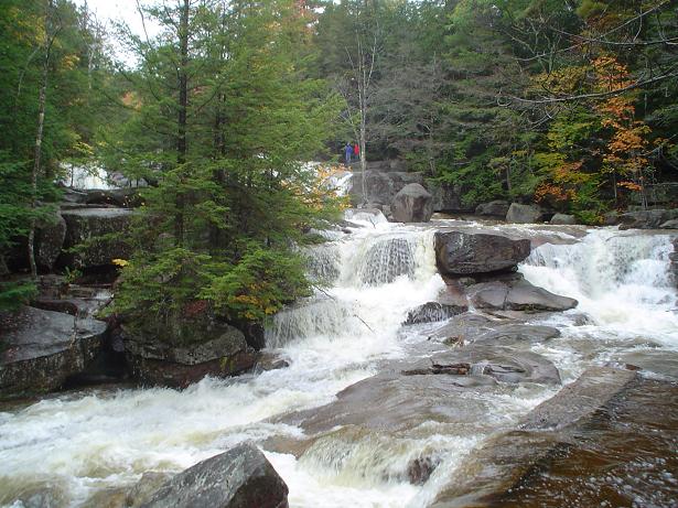
- Tallest drop 15 ft · 8 drops
- On Lucy Brook
- 3 mi from North Conway
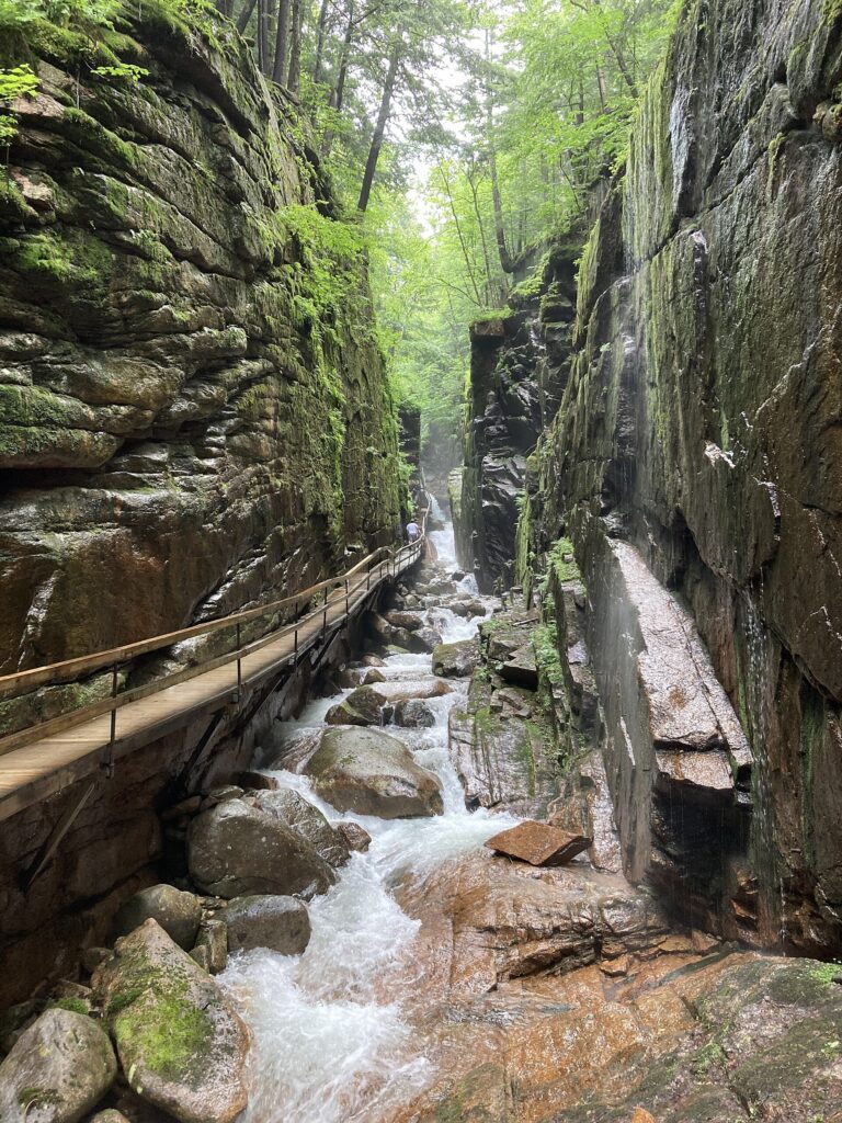
- 2 drops
- On Flume Brook
- 9 mi from Woodstock
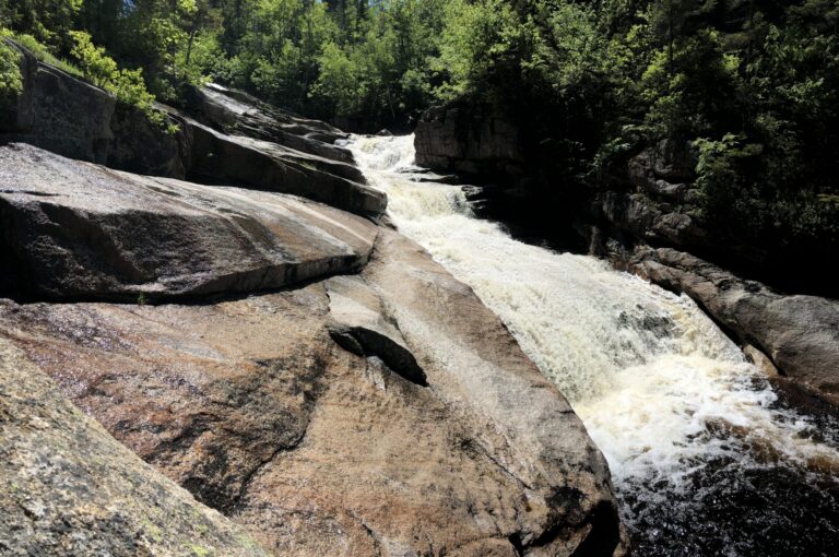
- On North Fork
- 8 mi from Deerfield
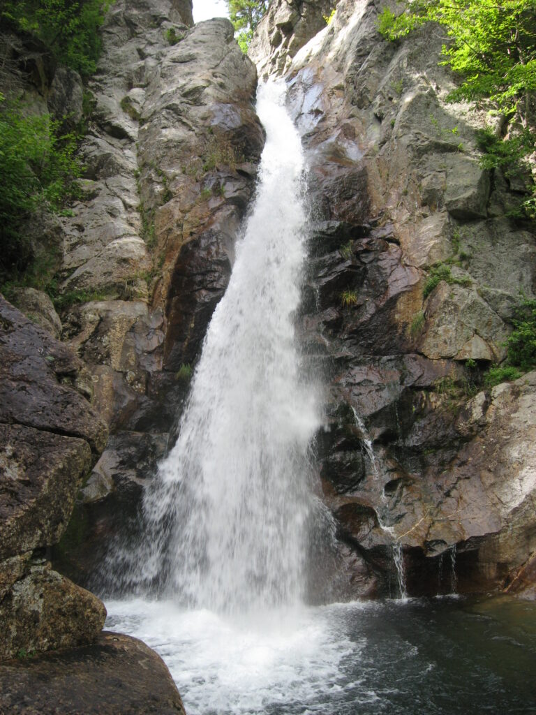
- Tallest drop 54 ft · 2 drops
- On Ellis River
- 11 mi from Gorham
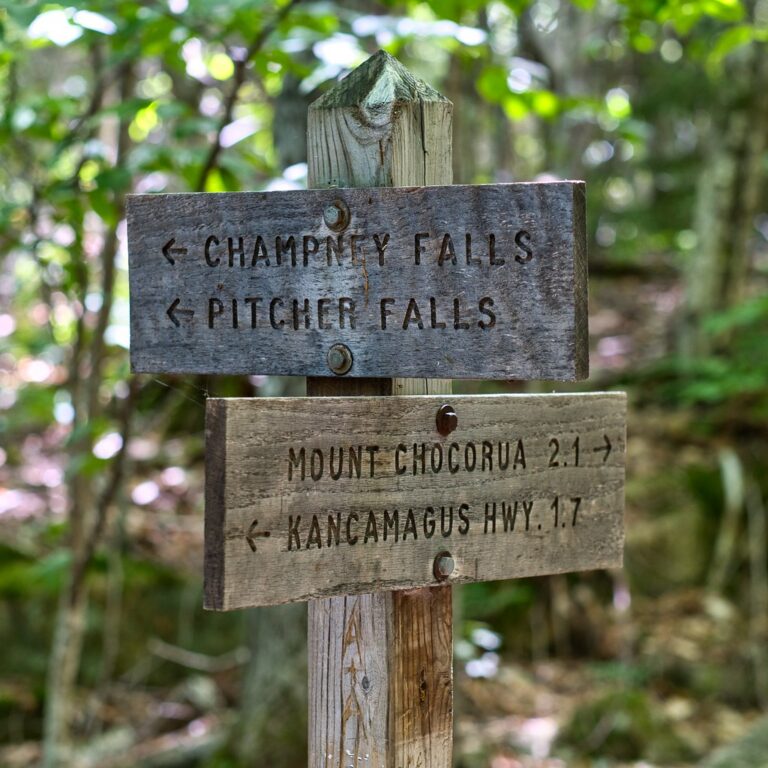
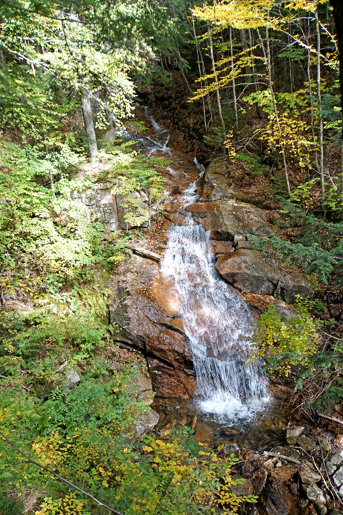
- Tallest drop 35 ft · 2 drops
- On Cascade Brook
- 9 mi from Woodstock
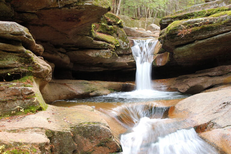
- Tallest drop 19 ft · 3 drops
- On Sabbaday Brook
- 11 mi from Tamworth
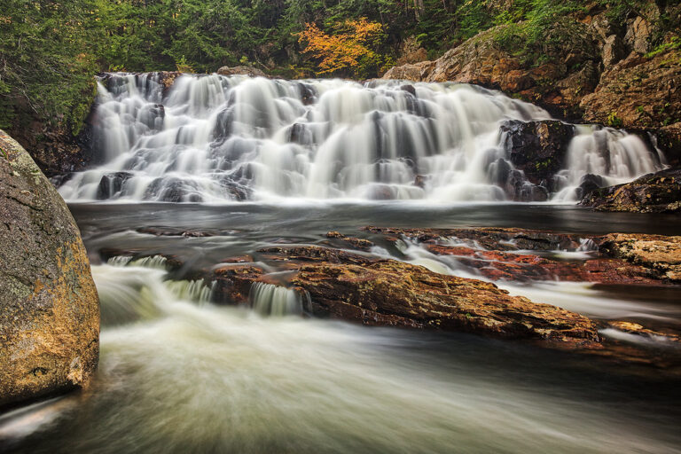
- Tallest drop 18 ft · 3 drops
- On Beebe River
- 5 mi from Plymouth
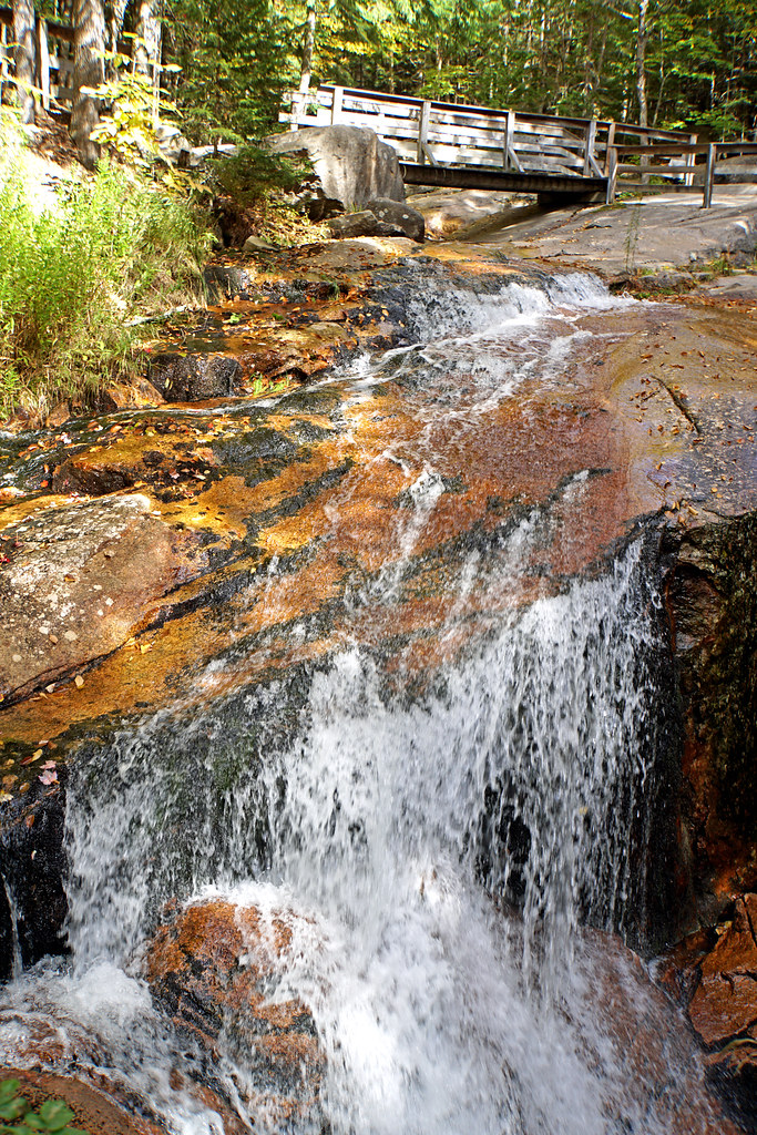
- On Flume Brook
- 9 mi from Woodstock

- 3 drops
- On Brown Brook
- 6 mi from Thornton
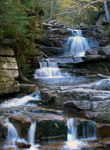
- Tallest drop 10 ft · 4 drops
- On Bemis Brook
- 13 mi from Deerfield
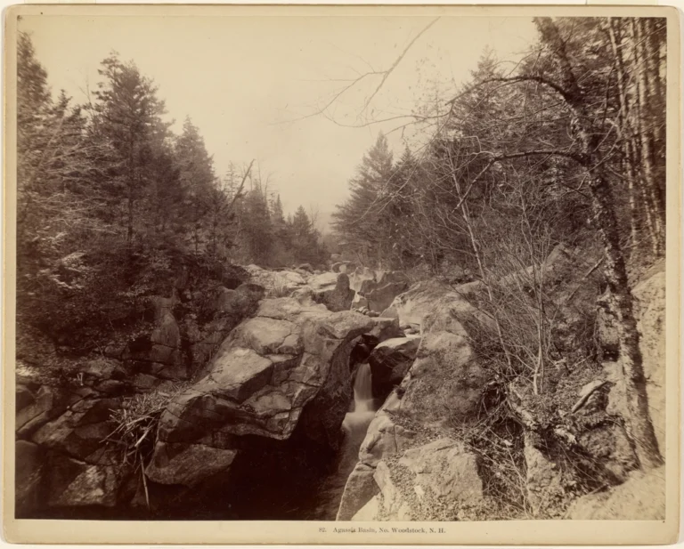
- On Moosilauke Brook
- 4 mi from Woodstock
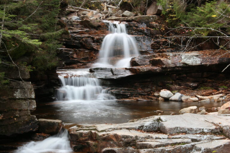
- Tallest drop 8 ft · 2 drops
- On Bemis Brook
- 13 mi from Deerfield
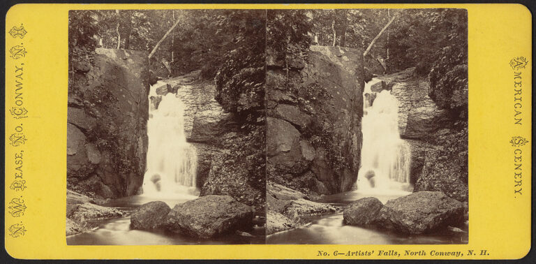
- On Artist Brook
- 1 mi from North Conway
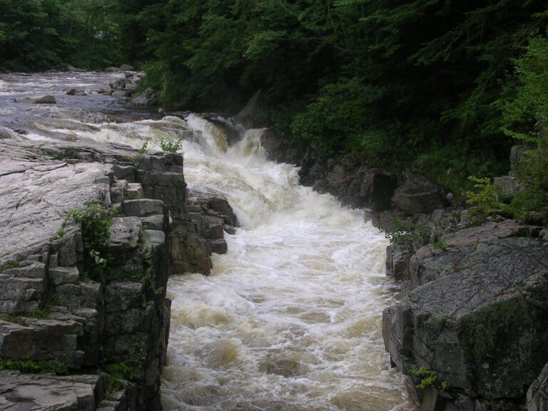
- On Swift River
- 8 mi from Conway
New Hampshire's notches, where granite brooks turn into waterfalls
Magma rising under New England between 124 and 100 million years ago left the White Mountains built on hard granite, and the glaciers that later carved Crawford, Franconia and Pinkham Notches into deep, U-shaped valleys gave every brook draining those walls a ledge or headwall to drop from. New Hampshire counts 264 named waterfalls, and 83 percent of them sit in the three counties that share those mountains.
Where the waterfalls are
Grafton County has the most listings, 96, spread across Franconia Notch, Kinsman Notch and the roadless Pemigewasset Wilderness. Coos County follows with 79, taking in Pinkham Notch below Mount Washington and the North Country around Colebrook and Berlin. Carroll County adds 43 more across Crawford Notch, the eastern Kancamagus Highway, North Conway and Jackson.
South of the mountains, falls are smaller and farther apart: Hillsborough County (15) and Cheshire County (13) hold brook drops and old mill gorges, while Merrimack (7), Strafford (5), Sullivan (4) and Belknap (2) Counties round out the state with a handful each.
Waterfalls worth the trip
- Arethusa Falls, at 155 feet, is the tallest single-drop waterfall in New Hampshire, though some cascades run higher overall. A day hike of about 2.8 miles round trip climbs from US 302 in Crawford Notch, rocky and steep at the start.
- Ripley Falls, 108 feet down a mossy granite slide nearby, is an easier mile-long round trip, while Silver Cascade, 540 feet in tiers up the valley wall, needs no hike at all: pullouts on US 302 look straight at it.
- Avalanche Falls, 35 feet at the head of Flume Gorge in Franconia Notch, sits at the end of a 2-mile boardwalk loop through the granite chasm; the ticketed attraction runs seasonally and bans dogs.
- Georgiana Falls, 112 feet in three drops on Harvard Brook near Lincoln, is a day hike that passes under I-93 before climbing about 800 feet of gain.
- Crystal Cascade, 141 feet over six tiers fed by Mount Washington's snowpack, and Glen Ellis Falls, a 64-foot plunge on the Ellis River, are both short walks from parking on NH 16 at Pinkham Notch.
- Champney Falls, 117 feet in six tiered steps, is a day hike of about 3 miles round trip off the Kancamagus Highway, with three unbridged stream crossings.
- Diana's Baths, 75 feet spread over eight ledges and pools on Lucy Brook, is an easy walk from West Side Road near North Conway and a popular summer wading spot.
- Beaver Brook Falls, 112 feet in three tiers on the edge of Colebrook, is a short, easy walk from roadside parking on NH 145 in the North Country.
When to go
Snowmelt gives most of these falls their fullest flow in spring, though Georgiana and Beaver Brook Falls, fed partly by ponds and bogs upstream, run more evenly year-round. Flume Gorge's boardwalks go up for the season on a fixed schedule, open May 8 through October 25 in 2026; outside that window the gorge itself is closed to hikers. Crawford Notch keeps the Arethusa Falls parking lot plowed through winter, but without restrooms or other facilities.
Fees, permits and closures
New Hampshire State Parks charged $4 per adult and $2 per youth (ages 6–11) at standard day-use areas in 2026, rising to $5 and $2 at "high-use" parks; children 5 and under and New Hampshire residents 65 and older get in free. Flume Gorge charges separately: $18 per adult and $16 per child (6–12) online, $21 and $19 at the gate, with timed-entry reservations recommended since they can sell out; dogs are not allowed inside. On White Mountain National Forest land, an annual pass ($30 individual, $40 household) covers the sites that charge, including the trailheads for Champney Falls, Crystal Cascade, Glen Ellis Falls and Diana's Baths, where a day pass is about $5. In the village of Jackson, roadside parking near Jackson Falls is limited to two hours, and three marked spaces are reserved for property owners and long-term renters, with a $50 fine for others who use them.
Safety
Several of these falls have hurt hikers in the past two years. A hiker fractured an ankle about a mile up the Arethusa Falls Trail in August 2025 and needed a litter evacuation. On the Georgiana Falls Trail, a hiker slipped on wet rock and injured a leg badly enough to require rescue in July 2026. At Glen Ellis Falls, a 17-year-old cliff jumper landed on rocks and was seriously hurt in July 2026; swimming there is against the rules. Diana's Baths draws swimmers to its lower pools, but wading above the topmost falls is prohibited near the town's water intake. Wet granite is the common thread at every one of these sites: stay back from the lip, and treat any ledge above a drop as unstable footing.
Waterfalls in New Hampshire on the map
Numbers show how many sit in that area; zoom in or click to split them, click a marker for details.
Tallest waterfalls in New Hampshire
- Beaver Brook Cascades790 ftGrafton County
- Gorge, The600 ftCoos County
- Silver Cascade540 ftCarroll County
- Flume Cascade475 ftCarroll County
- Dryad Fall425 ftCoos County
- Kedron Flume400 ftCarroll County
- Nancy Cascades360 ftGrafton County
- Pinnacle Gully Cascade345 ftCoos County
- Nine Cascades335 ftGrafton County
- Giant Falls295 ftCoos County
Waterfalls by county
New Hampshire has named waterfalls in 9 counties. The most are in Grafton County (96), Coos County (79), Carroll County (43), Hillsborough County (15), Cheshire County (13), Merrimack County (7). Every county has its own page with a map and the tallest falls:
- Belknap County 2
- Carroll County 43
- Cheshire County 13
- Coos County 79
- Grafton County 96
- Hillsborough County 15
- Merrimack County 7
- Strafford County 5
- Sullivan County 4
Types of waterfalls in New Hampshire
tiered (87), cascade (74), horsetail (23), fan (14), plunge (11), block (10). What the types mean is explained in the guide to waterfall types.
About the data
Of the 264 waterfalls in New Hampshire, 221 have a measured height, 69 have coordinates verified against aerial imagery and 26 have photos. Heights are the total drop as recorded by the source; falls without a measurement are listed without one. Every page has the stream, the nearest town and distance, a map with directions and a review form for photos and notes.
Find waterfalls near me · All US waterfalls
Sources
- en.wikipedia.org
- en.wikipedia.org
- worldwaterfalldatabase.com
- worldwaterfalldatabase.com
- worldwaterfalldatabase.com
- worldwaterfalldatabase.com
- worldwaterfalldatabase.com
- worldwaterfalldatabase.com
- worldwaterfalldatabase.com
- worldwaterfalldatabase.com
- worldwaterfalldatabase.com
- nhstateparks.org
- nhstateparks.org
- nhstateparks.org
- myscenicdrives.com
- jackson-nh.gov
- nhfishgame.com
- nhfishgame.com
- nhfishgame.com