Waterfalls in Minnesota
43 waterfalls in Minnesota across 10 counties, from the USGS dataset; 25 with a measured height. The tallest is Caribou Falls at 105 ft. All US waterfalls.
State: Minnesota 47
- Alabama 97
- Arizona 66
- Arkansas 280
- California 1,039
- Colorado 345
- Connecticut 79
- Florida 3
- Georgia 298
- Idaho 249
- Illinois 20
- Indiana 24
- Iowa 8
- Kansas 24
- Kentucky 65
- Louisiana 6
- Maine 175
- Maryland 13
- Massachusetts 37
- Michigan 294
- Minnesota 43
- Mississippi 8
- Missouri 11
- Montana 252
- Nebraska 14
- Nevada 25
- New Hampshire 264
- New Jersey 5
- New Mexico 20
- New York 879
- North Carolina 495
- North Dakota 1
- Ohio 26
- Oklahoma 30
- Oregon 1,342
- Pennsylvania 274
- Rhode Island 5
- South Carolina 22
- South Dakota 10
- Tennessee 427
- Texas 71
- Utah 76
- Vermont 229
- Virginia 127
- Washington 2,596
- West Virginia 13
- Wisconsin 83
- Wyoming 267
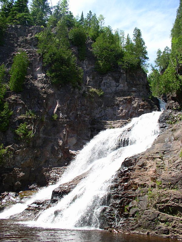
- Tallest drop 60 ft · 3 drops
- 16 mi from Silver Bay
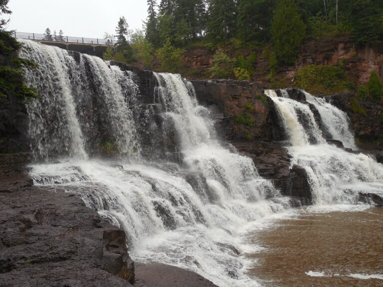
- Tallest drop 30 ft · 2 drops
- 13 mi from Two Harbors
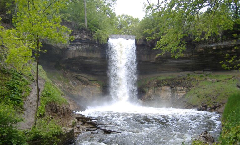
- 2 mi from Longfellow Community
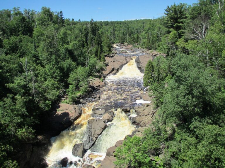
- 2 drops
- 3 mi from Silver Bay
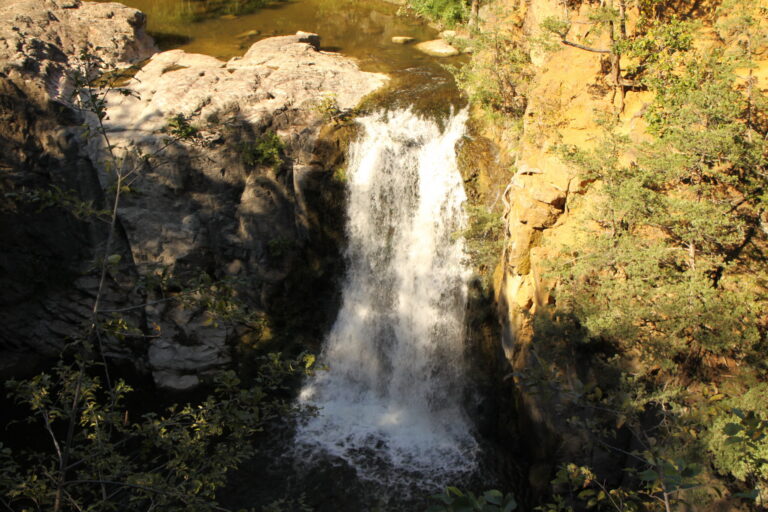
- Under 1 mi from Redwood Falls
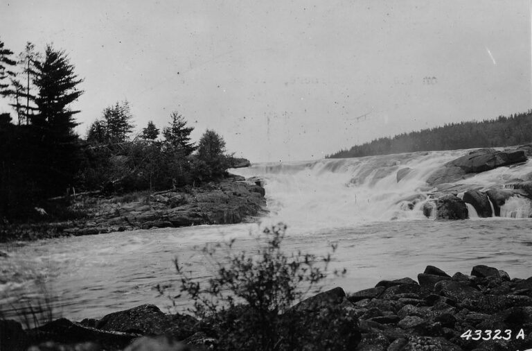
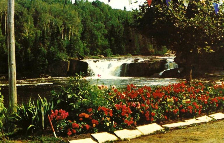
- On Pigeon River
- 38 mi from Grand Marais
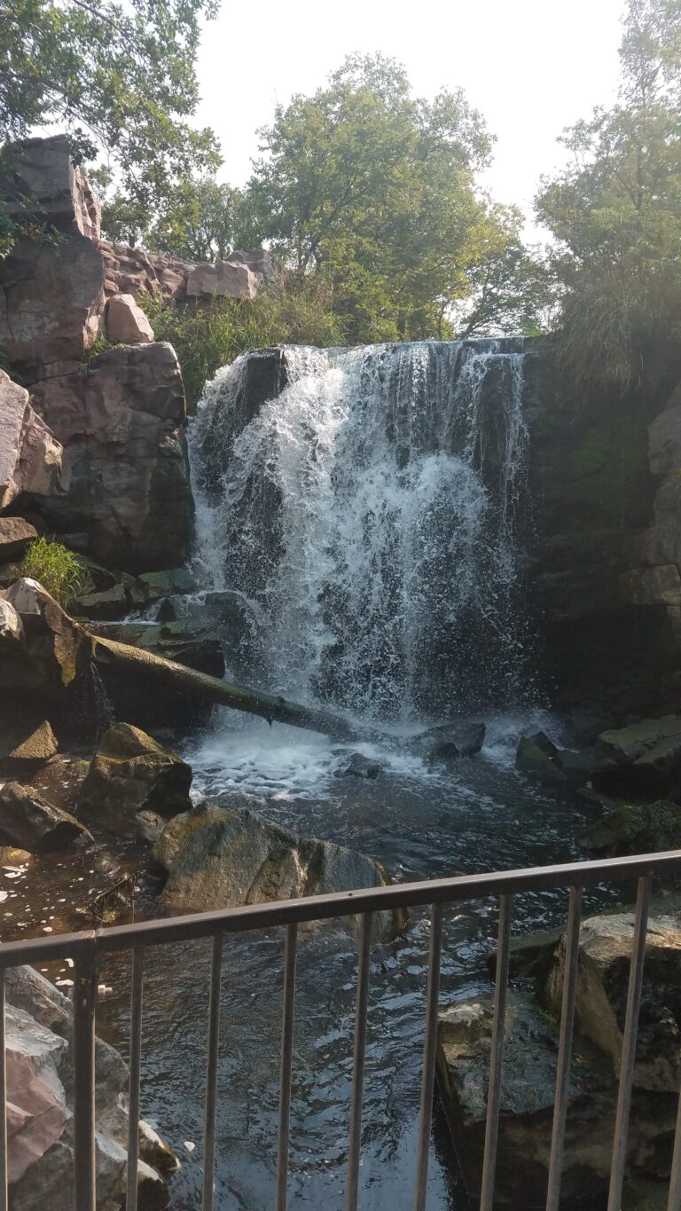
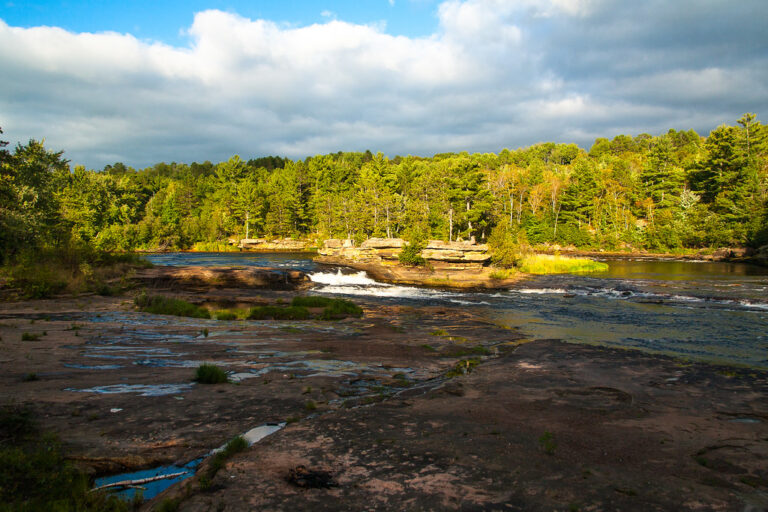
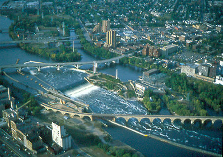

- Tallest drop 20 ft · 2 drops
- 26 mi from Silver Bay
- 31 mi from International Falls
Minnesota's waterfalls, from the North Shore to the prairie rivers
Ten thousand lakes get the postcards, but Minnesota's 43 named waterfalls collect on the state's oldest rock: the billion-year-old basalt shelf along Lake Superior's North Shore, and the far older granite of the Canadian Shield toward the Boundary Waters. A smaller cluster drops off limestone, quartzite and sandstone on prairie rivers well to the south and west.
Where the waterfalls are
Lake County and Cook County hold the densest cluster, where rivers crossing ancient lava rock drop toward Lake Superior at state parks such as Gooseberry Falls and Temperance River; Cook County reaches the Canadian border at Grand Portage State Park, jointly run by Minnesota and the Grand Portage Band of Ojibwe, where High Falls on the Pigeon River drops 120 feet on the border with Ontario. High Falls on the Baptism River in Tettegouche State Park, 70 feet, is the tallest waterfall entirely within the state. Inland, St. Louis County and Koochiching County cover the Boundary Waters Canoe Area Wilderness and Voyageurs National Park backcountry on older Canadian Shield rock, where falls like Curtain Falls, on the Ontario border, are reached only by canoe and portage.
Hennepin County, in the Twin Cities, holds Saint Anthony Falls downtown and Minnehaha Falls on a tributary creek. Farther south and west, smaller falls drop off prairie rivers: Redwood County and Nicollet County near Redwood Falls and North Mankato, Pipestone County cuts one into Sioux quartzite at Pipestone National Monument, and Chippewa County has a falls on the Minnesota River at Granite Falls. East of the Twin Cities, Pine County's Kettle River carries Big Spring Falls, a 5-foot drop beside Class IV rapids, through sandstone at Banning State Park.
Waterfalls worth the trip
- Gooseberry Falls, 65 feet over two drops on ancient lava rock, has a short, accessible path to the Middle and Upper falls, or a longer loop to the Lower Falls; swimming is banned at the Upper Falls.
- Caribou Falls, 105 feet in three tiers — though the wayside's sign gives 35 feet — ends a 1.3-mile, 203-foot climb down stairs to the river.
- Hidden Falls, 40 feet in two tiers on the Temperance River, is seen from a deck at a paved path's end, with a rougher trail beyond over rock, dirt and stairs.
- Minnehaha Falls, drops 53 feet in one plunge inside a Minneapolis park; the ground behind and at the base is closed because of moving water, boulders and slippery slopes.
- Saint Anthony Falls, the Mississippi's only natural falls, has been stabilized by dams and a concrete apron for over a century; the Stone Arch Bridge, reopened in 2025, gives the closest view.
- Winnewissa Falls, 12 feet on Pipestone Creek, sits 3/8 mile down a paved loop trail in Pipestone National Monument.
- Ramsey Falls, 25 feet on Ramsey Creek, drops inside a city park at Redwood Falls, reached by a suspension bridge on one of several trails.
When to go
North Shore falls run heaviest with spring snowmelt and thin by late summer. Gooseberry Falls State Park keeps only the path to its Upper Falls open in winter, and the Caribou Falls wayside's May-through-mid-November season isn't plowed the rest of the year. Minnehaha Creek runs small enough to dry up completely in a hard drought, as it did in August 2022. Boundary Waters canoe permits for Curtain Falls and other paddle-in falls run May through September.
Fees, permits and closures
Minnesota State Parks — Gooseberry Falls, the Caribou Falls wayside, Temperance River and Banning among them — charge $7 a day per vehicle or $35 a year in 2026. Pipestone National Monument and the Minneapolis park system charge no entrance fee for Winnewissa, Minnehaha or Saint Anthony falls. Reaching Curtain Falls and other Boundary Waters paddle-in falls needs a permit too: free and self-issued for a day trip, or $16 per adult and $8 per child through age 17 plus a $6 reservation fee for an overnight trip, May through September 2026. Snowmelt and rain flooded North Shore trails at Gooseberry Falls in April 2026, and wildfires closed some Boundary Waters entry points that August, with fire restrictions kept through October 1.
Safety
Two canoeists drowned after their canoes went over Curtain Falls in May 2024. An 88-year-old hiker fell about 30 feet toward the river at Caribou Falls in 2026 and was rescued. Gooseberry Falls State Park bans swimming at the Upper Falls for its strong current, and warns that slippery rocks and cliffs make the falls area dangerous for children.
Waterfalls in Minnesota on the map
Numbers show how many sit in that area; zoom in or click to split them, click a marker for details.
Tallest waterfalls in Minnesota
- Caribou Falls105 ftLake County
- Gooseberry Falls65 ftLake County
- Glenn Avon Falls60 ftLake County
- Johnson Falls60 ftCook County
- Minnehaha Falls53 ftHennepin County
- Partridge Falls50 ftCook County
- Hidden Falls40 ftCook County
- Devils Cascade35 ftSt. Louis County
- Minnemishinona Falls35 ftNicollet County
- Ash River Falls30 ftSt. Louis County
Waterfalls by county
Minnesota has named waterfalls in 10 counties. The most are in Lake County (12), St. Louis County (10), Cook County (9), Koochiching County (3), Pine County (2), Hennepin County (2). Every county has its own page with a map and the tallest falls:
- Chippewa County 1
- Cook County 9
- Hennepin County 2
- Koochiching County 3
- Lake County 12
- Nicollet County 2
- Pine County 2
- Pipestone County 1
- Redwood County 1
- St. Louis County 10
Types of waterfalls in Minnesota
dam (3). What the types mean is explained in the guide to waterfall types.
About the data
Of the 43 waterfalls in Minnesota, 25 have a measured height, 33 have coordinates verified against aerial imagery and 10 have photos. Heights are the total drop as recorded by the source; falls without a measurement are listed without one. Every page has the stream, the nearest town and distance, a map with directions and a review form for photos and notes.
Find waterfalls near me · All US waterfalls
Sources
- en.wikipedia.org
- en.wikipedia.org
- en.wikipedia.org
- worldwaterfalldatabase.com
- files.dnr.state.mn.us
- worldwaterfalldatabase.com
- dnr.state.mn.us
- alltrails.com
- worldwaterfalldatabase.com
- files.dnr.state.mn.us
- worldwaterfalldatabase.com
- content.govdelivery.com
- cbsnews.com
- worldwaterfalldatabase.com
- minneapolisparks.org
- nps.gov
- worldwaterfalldatabase.com
- worldwaterfalldatabase.com
- worldwaterfalldatabase.com
- mobile-maps-files.dnr.state.mn.us
- dnr.state.mn.us
- recreation.gov
- fs.usda.gov
- mprnews.org
- paddleandportage.com
- wtip.org
- bringmethenews.com