Waterfalls in the United States
10,737 waterfalls in 47 states, every named fall in the USGS dataset, with height, type, the stream it falls on, the nearest town and directions.
Browse by state 47
- Alabama 97
- Arizona 66
- Arkansas 280
- California 1,039
- Colorado 345
- Connecticut 79
- Florida 3
- Georgia 298
- Idaho 249
- Illinois 20
- Indiana 24
- Iowa 8
- Kansas 24
- Kentucky 65
- Louisiana 6
- Maine 175
- Maryland 13
- Massachusetts 37
- Michigan 294
- Minnesota 43
- Mississippi 8
- Missouri 11
- Montana 252
- Nebraska 14
- Nevada 25
- New Hampshire 264
- New Jersey 5
- New Mexico 20
- New York 879
- North Carolina 495
- North Dakota 1
- Ohio 26
- Oklahoma 30
- Oregon 1,342
- Pennsylvania 274
- Rhode Island 5
- South Carolina 22
- South Dakota 10
- Tennessee 427
- Texas 71
- Utah 76
- Vermont 229
- Virginia 127
- Washington 2,596
- West Virginia 13
- Wisconsin 83
- Wyoming 267
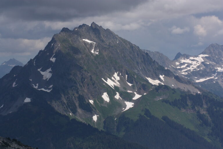
- Tallest drop 800 ft · 5 drops
- 28 mi from Darrington
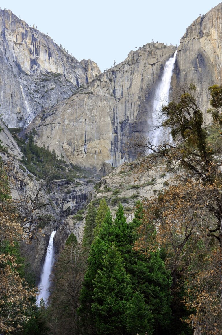
- Tallest drop 1,430 ft · 6 drops
- On Yosemite Creek
- 2 mi from Yosemite Valley
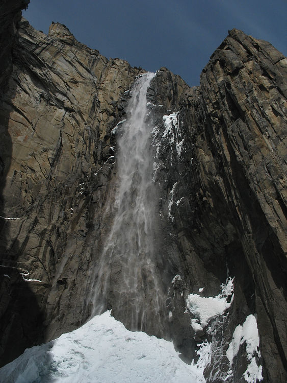
- On Ribbon Creek
- 4 mi from Yosemite Valley
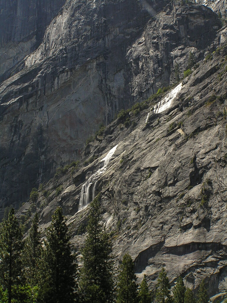
- 5 drops
- On Gossamer Creek
- Under 1 mi from Yosemite Valley
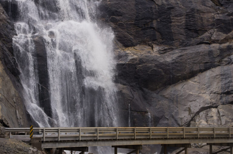
- Tallest drop 520 ft · 9 drops
- On Stevenson Creek
- 9 mi from Auberry
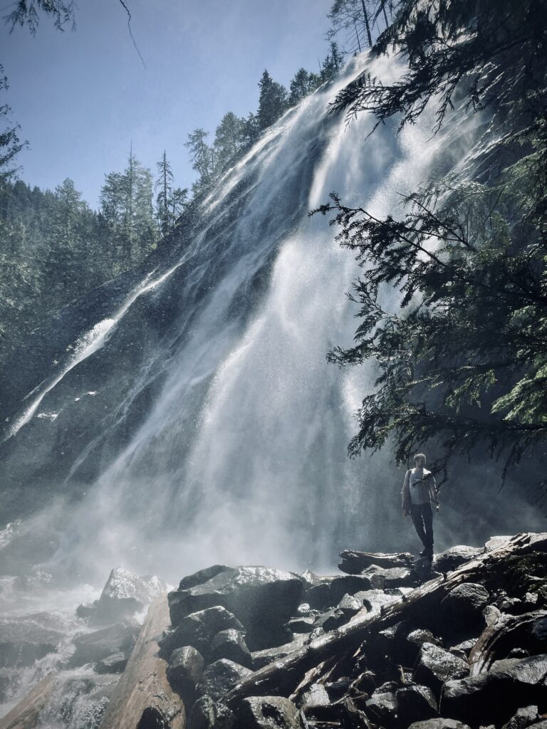
- Tallest drop 322 ft · 7 drops
- On Bridal Veil Creek
- 8 mi from Gold Bar
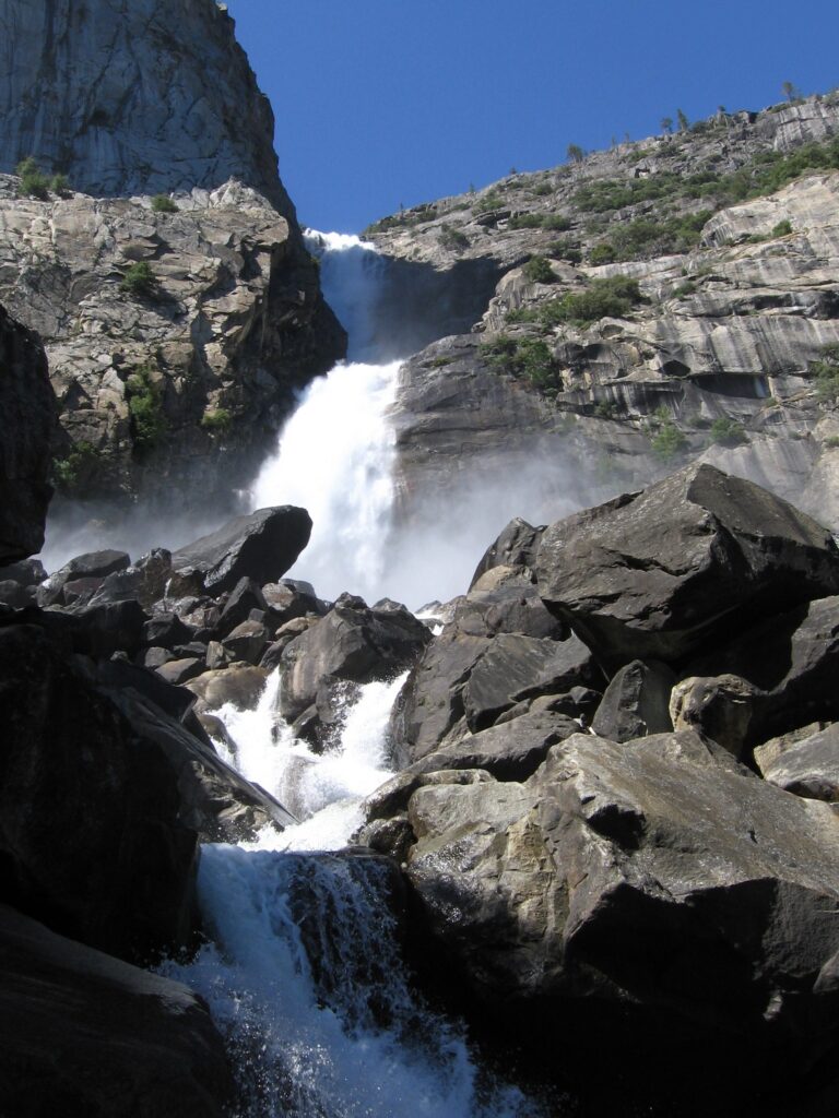
- On Falls Creek
- 19 mi from Yosemite Valley
- On Royal Arch Creek
- Under 1 mi from Yosemite Valley
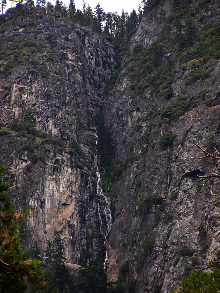
- Tallest drop 1,180 ft
- On Lehamite Creek
- 2 mi from Yosemite Valley
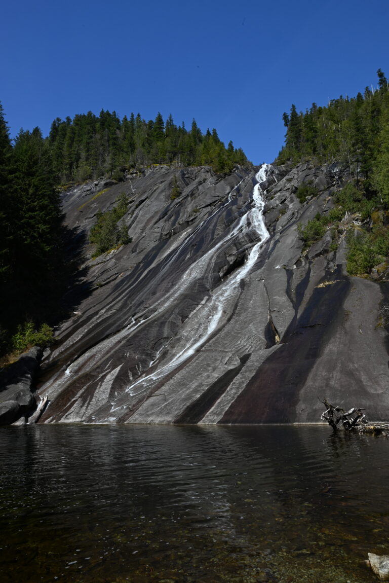
- Tallest drop 505 ft
- On Otter Creek
- 15 mi from Tanner

- Tallest drop 517 ft · 4 drops
- On Lincoln Creek
- 25 mi from Columbia Falls
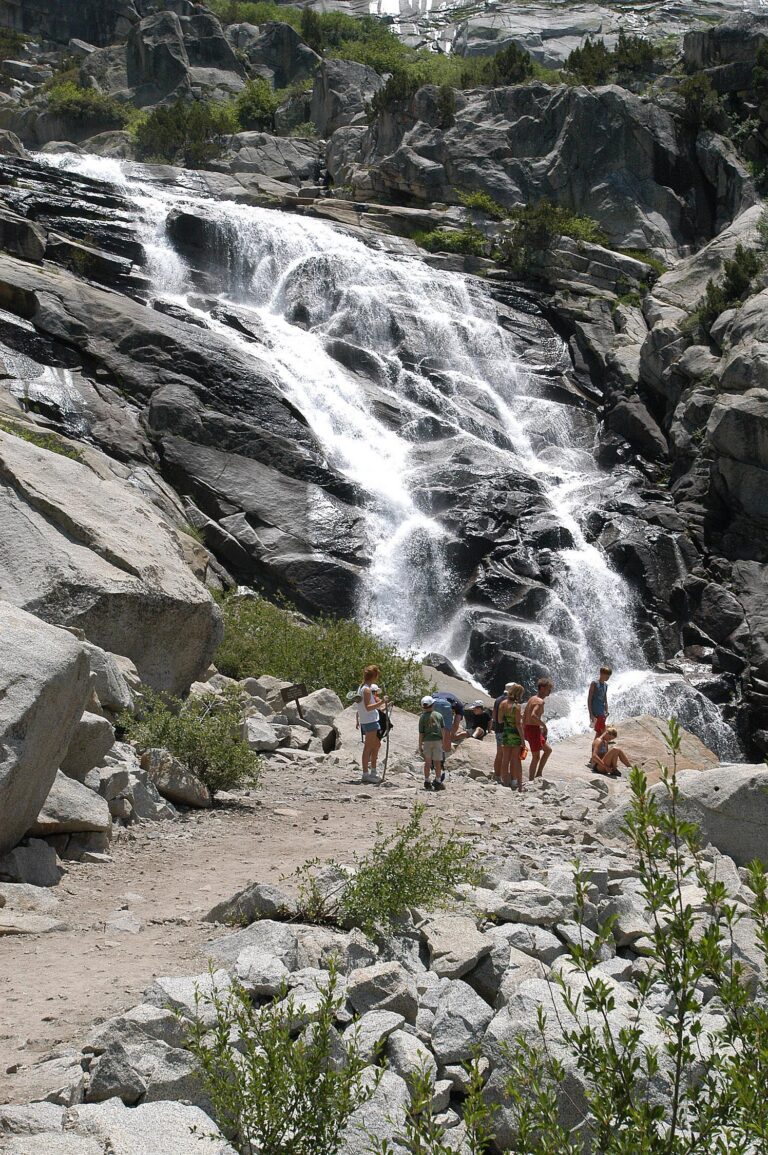
- On Marble Fork Kaweah River
- 17 mi from Three Rivers
- Tallest drop 400 ft
- On Crabtree Creek
- 12 mi from Nellysford
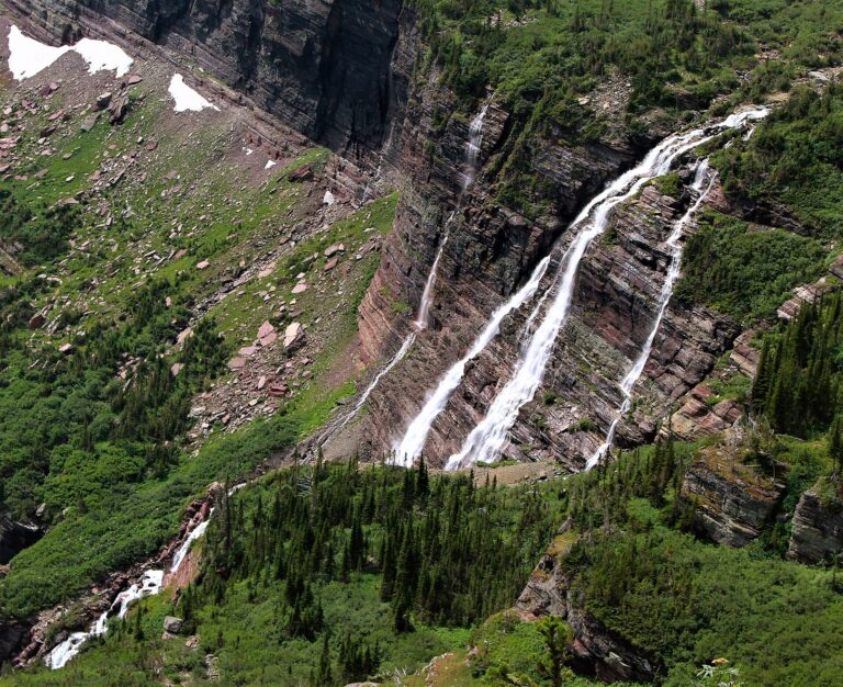
- Tallest drop 280 ft · 7 drops
- On Grinnell Creek
- 34 mi from Columbia Falls
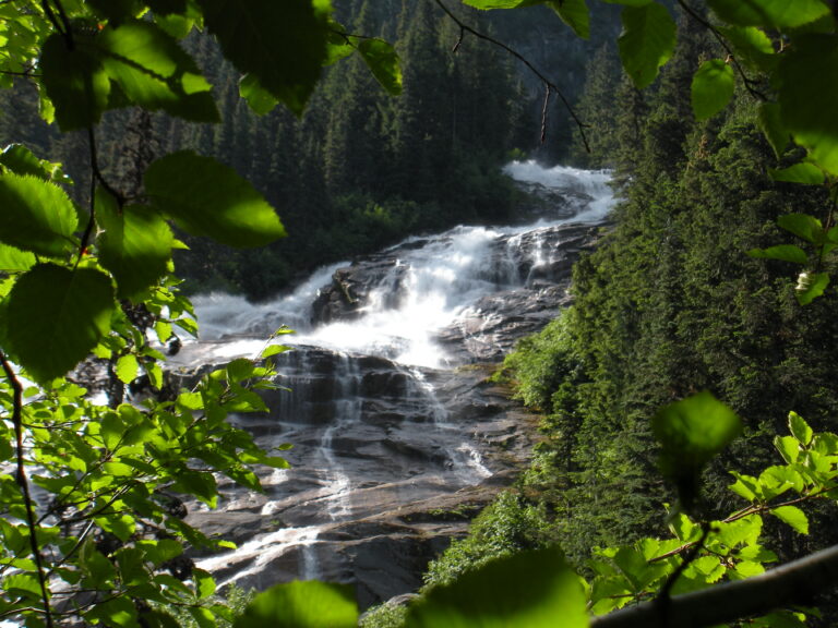
- On Depot Creek
- 39 mi from Peaceful Valley
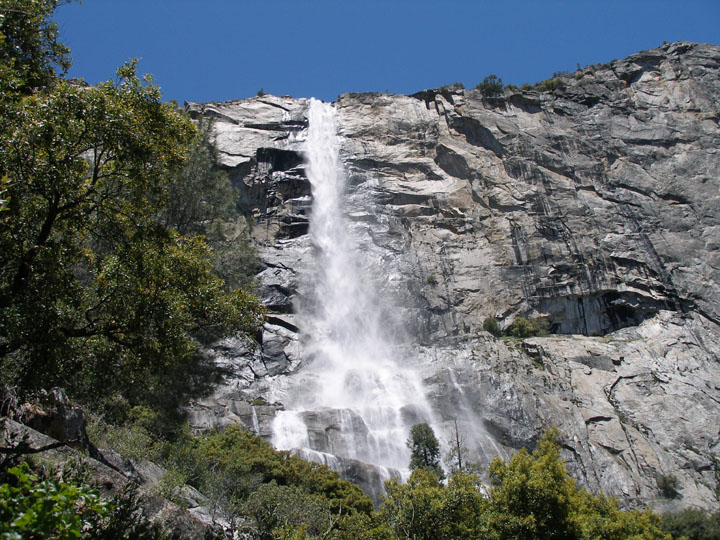
- On Falls Creek
- 19 mi from Yosemite Valley
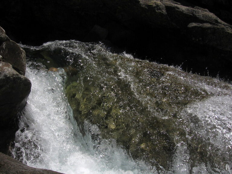
- Tallest drop 440 ft · 7 drops
- On Pyramid Creek
- 10 mi from South Lake Tahoe
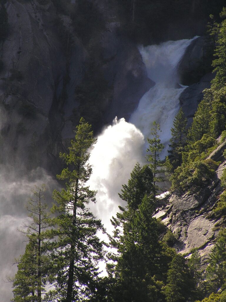
- 11 drops
- On Snow Creek
- 3 mi from Yosemite Valley
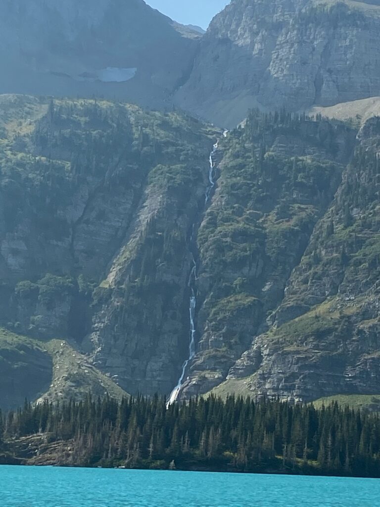
- On meltwater of Ipasha Glacier
- 37 mi from Columbia Falls
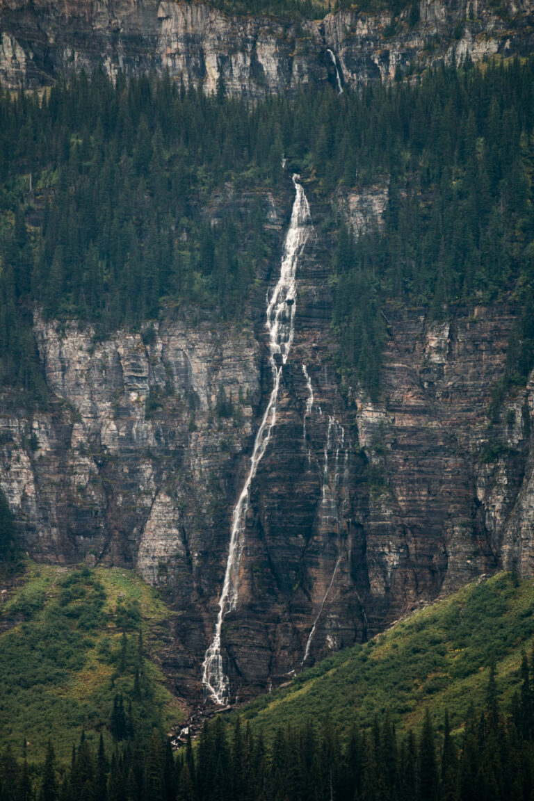
- 31 mi from Columbia Falls
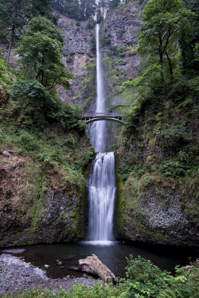
- Tallest drop 542 ft · 4 drops
- On Multnomah Creek
- 12 mi from Washougal
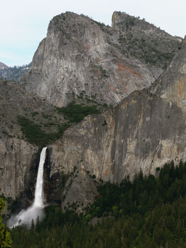
- On Bridalveil Creek
- 4 mi from Yosemite Valley
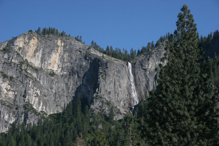
- On Meadow Brook
- 6 mi from Yosemite Valley
Tallest waterfalls in the United States
- Falls Creek Falls2,715 ftPierce County, Washington
- Colonial Creek Falls2,568 ftWhatcom County, Washington
- Johannesburg Falls2,465 ftSkagit County, Washington
- Yosemite Falls2,425 ftMariposa County, California
- Cloudcap Falls2,400 ftWhatcom County, Washington
- East Snow Mountain Falls2,200 ftPlacer County, California
- Seahpo Peak Falls2,200 ftWhatcom County, Washington
- Lower Falls Creek Falls2,198 ftPierce County, Washington
- Sulphide Creek Falls2,182 ftWhatcom County, Washington
- Buck Mountain Falls2,040 ftChelan County, Washington
Heights are the total drop as recorded in the source dataset. Several of the tallest are remote alpine falls in the North Cascades and the Sierra Nevada; Yosemite Falls is the tallest that most people can reach by trail.
About this catalogue
This is a complete list of the 10,737 named waterfalls in the United States as recorded by the U.S. Geological Survey, compiled with the World Waterfall Database and the USFS aquatic barriers inventory. Every waterfall has its own page with coordinates and a map, the county and state, the stream it falls on, the nearest town and the distance to it, the closest waterfalls around it, and reviews and photos from people who have been.
Heights. 7,483 waterfalls have a measured height. The card shows the total height of all drops; for tiered falls the tallest single drop and the number of drops appear as well. Falls without a measurement are listed without one rather than with a guess, and get a height when a reliable source is found.
Location verified. 2,428 waterfalls carry this mark: their coordinates were checked against aerial imagery, so the map pin sits on the fall itself, not on the nearest road. For the others the position comes from the dataset and is usually within a few hundred feet.
Types. The chips above the list group the falls by how the water moves (see the guide to waterfall types): a plunge drops clear of the rock, a horsetail stays in contact with it, a tiered fall has several separate drops, a cascade tumbles down steps, a block is wider than it is tall. Many falls combine two forms and appear under both. Falls the dataset does not classify are listed without a type until someone who has seen them adds one.
By state. Washington (2,596), Oregon (1,342), California (1,039) have the most waterfalls; every one of the 47 states has its own page with a map, the tallest falls and the counties, reached from “Browse by state” above the list. Looking for the closest one right now? Use waterfalls near me. River rapids have their own catalogue.
Questions people ask
- How many waterfalls are there in the United States?
- The USGS names 10,737 waterfalls, and all of them are listed here. Countless smaller, unnamed drops on creeks are not counted.
- Which state has the most waterfalls?
- Washington, with 2,596 named falls, followed by Oregon and California. The Pacific Northwest owes this to steep mountains and a very wet climate.
- What is the tallest waterfall in the US?
- By recorded total height it is the first entry in the list above. Yosemite Falls at 2,425 ft is the tallest with a marked trail to it; the others are in wilderness with no maintained access.
- Can I add a waterfall or fix a mistake?
- Yes. Every page has a review form for photos and notes; corrections to heights or positions are checked against a source before they change the record.