Waterfalls in Massachusetts
37 waterfalls in Massachusetts across 6 counties, from the USGS dataset; 32 with a measured height. The tallest is Bear Rock Falls at 415 ft. All US waterfalls.
State: Massachusetts 47
- Alabama 97
- Arizona 66
- Arkansas 280
- California 1,039
- Colorado 345
- Connecticut 79
- Florida 3
- Georgia 298
- Idaho 249
- Illinois 20
- Indiana 24
- Iowa 8
- Kansas 24
- Kentucky 65
- Louisiana 6
- Maine 175
- Maryland 13
- Massachusetts 37
- Michigan 294
- Minnesota 43
- Mississippi 8
- Missouri 11
- Montana 252
- Nebraska 14
- Nevada 25
- New Hampshire 264
- New Jersey 5
- New Mexico 20
- New York 879
- North Carolina 495
- North Dakota 1
- Ohio 26
- Oklahoma 30
- Oregon 1,342
- Pennsylvania 274
- Rhode Island 5
- South Carolina 22
- South Dakota 10
- Tennessee 427
- Texas 71
- Utah 76
- Vermont 229
- Virginia 127
- Washington 2,596
- West Virginia 13
- Wisconsin 83
- Wyoming 267
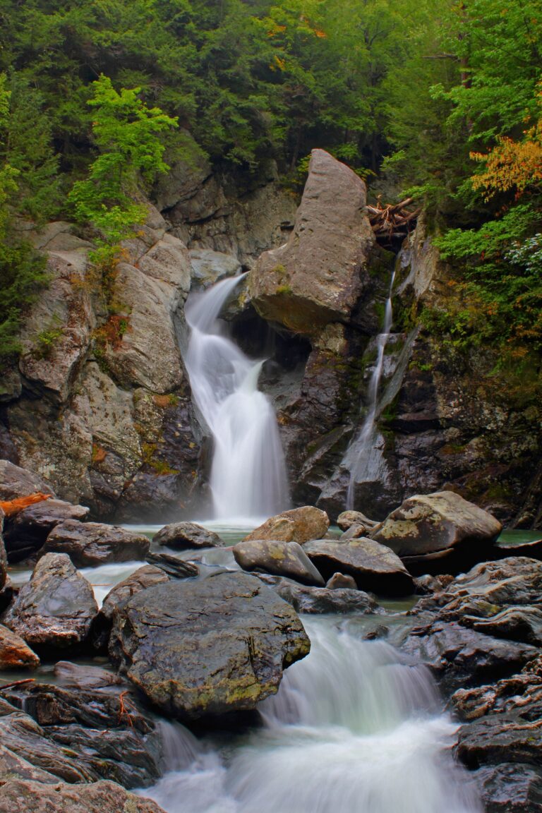
- Tallest drop 49 ft · 7 drops
- On Bash Bish Brook
- 7 mi from Sheffield
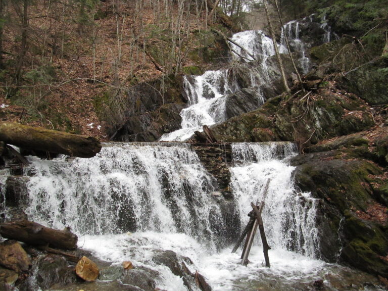
- On Cascade Brook
- 6 mi from North Adams
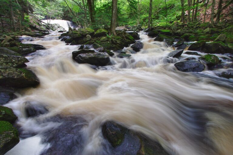
- Tallest drop 25 ft · 6 drops
- On Lawrence Brook
- 2 mi from Royalston
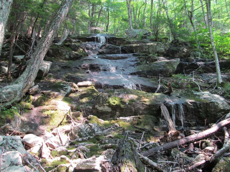
- Tallest drop 66 ft · 2 drops
- 1 mi from Royalston
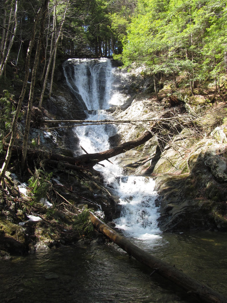
- 2 drops
- On Ross Brook
- 6 mi from Adams
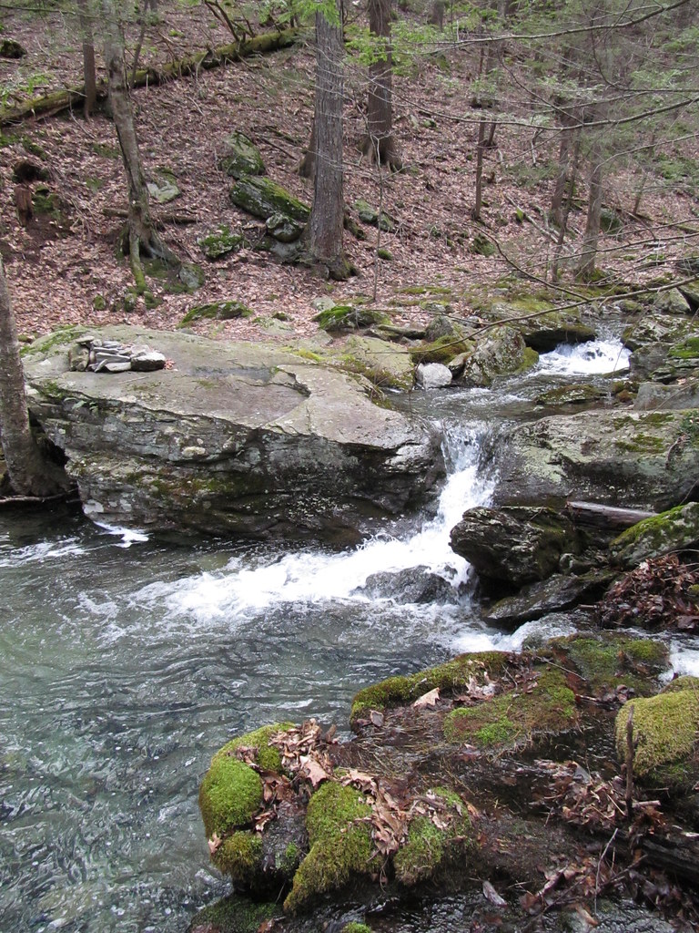
- Tallest drop 30 ft · 3 drops
- On Race Brook
- 4 mi from Sheffield
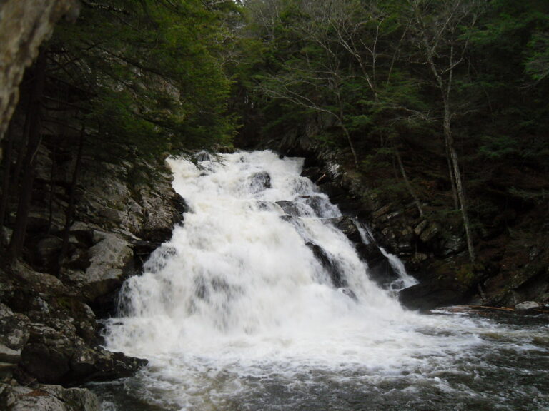
- Tallest drop 40 ft · 3 drops
- On Wahconah Falls Brook
- 3 mi from Dalton
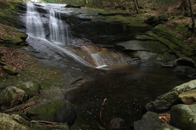
- Tallest drop 25 ft · 3 drops
- On Chapel Brook
- 3 mi from Ashfield
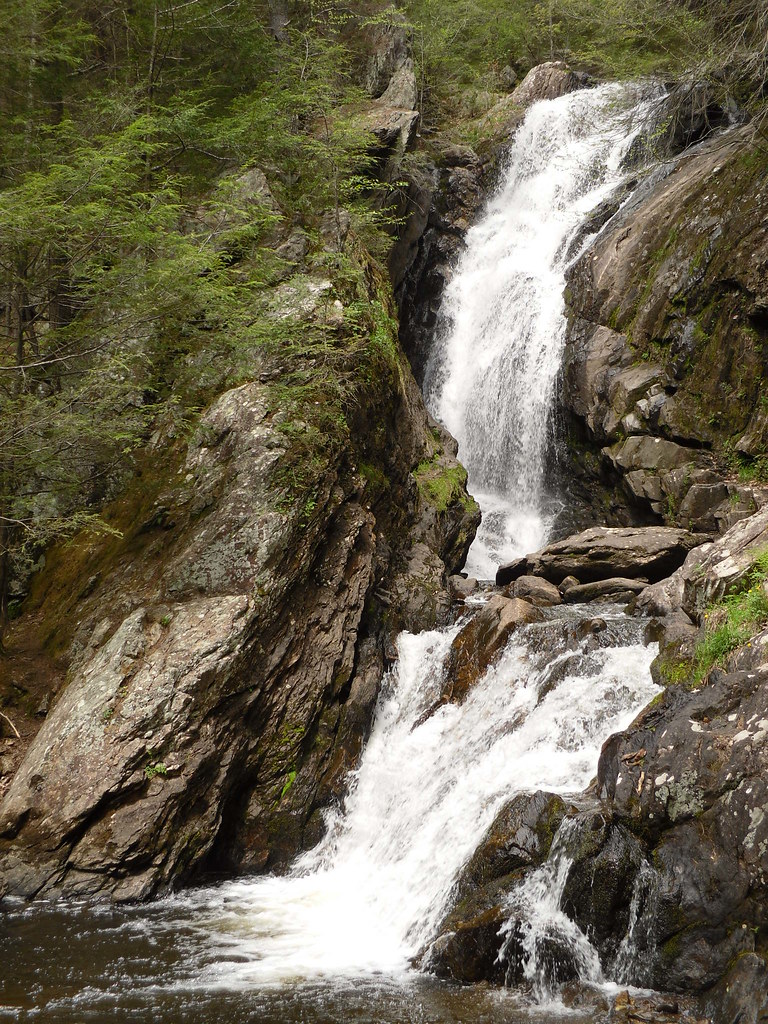
- Tallest drop 41 ft · 2 drops
- On Whiting River
- 5 mi from Canaan
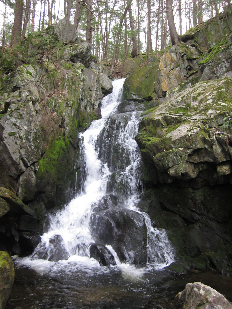
- Tallest drop 15 ft · 3 drops
- On Goldmine Brook
- 9 mi from Westhampton
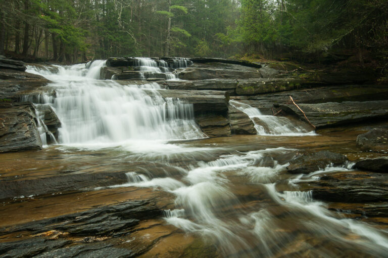
- Tallest drop 18 ft · 2 drops
- On Umpachene River
- 3 mi from New Marlborough
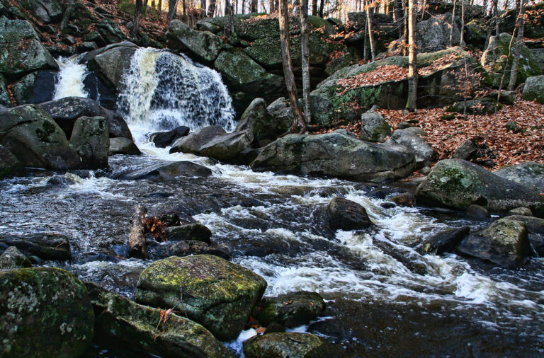
- On Trapfall Brook
- 2 mi from Ashby

- On Bear Rock Stream
- 5 mi from Sheffield
- On Glendale Brook
- 6 mi from Becket
- 3 drops
- On Tannery Brook
- 6 mi from Adams
- Tallest drop 50 ft · 3 drops
- 9 mi from Winsted
- Tallest drop 35 ft · 3 drops
- On Money Brook
- 4 mi from Adams
- Tallest drop 30 ft · 2 drops
- On Sluice Brook
- 1 mi from Shelburne
- 2 drops
- On Notch Brook
- 2 mi from North Adams
- On Little River
- 4 mi from Chesterfield
- On Falls Brook
- 3 mi from Richmond
- On Pettibone Brook
- 2 mi from Lanesborough
Where Massachusetts's waterfalls run, from Berkshire gorges to old mill rivers
A seam of ancient metamorphic rock underlies the Berkshire Hills in the far west of Massachusetts, and it is there, where brooks drop off schist and gneiss ledges into narrow, glacier-cut gorges, that most of the state's 37 named waterfalls cluster. Farther east, granite uplands around Royalston and Ashfield carry a second, smaller group of falls, and two of the Connecticut River's old natural cataracts survive only as bedrock rapids beside nineteenth-century dams.
Where the waterfalls are
Berkshire County holds 17 of the state's 37 listings, by far the deepest concentration, running from Bash Bish Falls near the New York line to Wahconah Falls above Dalton and Campbell Falls on the Connecticut state line. East of the Berkshires, the hilltowns of Hampshire County carry falls on the same bedrock, including Glendale Falls in Middlefield.
North-central Massachusetts spans Franklin County and Worcester County, granite upland country where Royalston alone holds several Trustees-run cascades and Ashfield's Chapel Brook reservation adds another. The Connecticut River Valley crosses Hampden County and Franklin County, where old rapids at Holyoke and Turners Falls were dammed for mills in the 1800s and no longer run free. Middlesex County, in the eastern lowlands, holds a pair of small falls, including Trap Falls in Willard Brook State Forest.
Waterfalls worth the trip
- Bash Bish Falls, 210 feet in seven tiered steps that split around a boulder on the last drop, is billed by the state park as the tallest in Massachusetts. The Massachusetts-side trail is short and steep, rated difficult, while an easier trail climbs from the New York side.
- Doane Falls, 145 feet in six tiered drops on Lawrence Brook, is a free Trustees reservation in Royalston reached by a half-mile trail from Athol Road. Spirit Falls, 87 feet through a steep ravine nearby, needs a 0.75-mile walk and then a steep, unmarked descent; the two are linked by the 22-mile Tully Trail.
- Glendale Falls, 126 feet down what the Trustees call one of the state's longest waterfall runs, is a quarter-mile walk from a small Trustees lot in Middlefield.
- Tannery Falls, 81 feet in two tiers with a pothole between them, is a half-mile round trip on blue blazes and wooden steps in Savoy Mountain State Forest.
- Chapel Falls, 55 feet over three granite steps on Chapel Brook, is a short walk from Trustees parking off Williamsburg Road in Ashfield.
- Race Brook Falls, 67 feet in three drops, is a day hike from the Route 41 trailhead toward Mount Race and the Appalachian Trail.
- Umpachene Falls, a 27-foot cascade on the Umpachene River, sits inside a free town park in New Marlborough with a swimming area in the river below, open only to town residents and their guests.
When to go
Spring snowmelt drives the strongest flow at nearly every fall here; Race Brook Falls and Bash Bish Falls can both shrink to a trickle in a summer drought. Doane Falls runs all year, noticeably fuller in April than in October. The stone steps at Tannery Falls can ice over in late November and December, and Spirit Falls carries only a small trickle by midsummer.
Parking, access and closures
None of these properties charges a general day-use parking fee: Bash Bish Falls State Park, Mount Everett State Reservation and Savoy Mountain State Forest are free, and the Trustees of Reservations charge no admission at Doane Falls, Spirit Falls, Chapel Falls or Glendale Falls. Umpachene Falls Park is free but limited to New Marlborough residents and their guests. Bash Bish Falls' Massachusetts entrance has closed for construction more than once in recent years, for a rebuilt viewing area in 2024 and for erosion and drainage repairs into June 2025, so check the park page before a visit. Swimming and diving are banned at Doane Falls, which the Trustees warn have led to fatalities and serious injuries, and swimming is also prohibited at Tannery Falls.
Safety
Bash Bish Falls has a long history of fatal falls: three people died there in the 1960s and a man was killed in a fall in 2018; the state has fenced the rebuilt viewing area and blocked the stairs to the pools since 2022. A hiker fell about 35 feet to his death at Race Brook Falls in 2013. Stay on marked trails and out of the water below any of these falls, especially during spring runoff, when flows rise fast.
Waterfalls in Massachusetts on the map
Numbers show how many sit in that area; zoom in or click to split them, click a marker for details.
Tallest waterfalls in Massachusetts
- Bear Rock Falls415 ftBerkshire County
- Bash Bish Falls210 ftBerkshire County
- Twin Cascade170 ftBerkshire County
- Doane Falls145 ftWorcester County
- Glendale Falls126 ftHampshire County
- Spirit Falls87 ftWorcester County
- Parker Brook Falls83 ftBerkshire County
- Tannery Falls81 ftBerkshire County
- Marguerite Falls70 ftBerkshire County
- Money Brook Falls70 ftBerkshire County
Waterfalls by county
Massachusetts has named waterfalls in 6 counties. The most are in Berkshire County (17), Franklin County (6), Hampshire County (4), Worcester County (4), Hampden County (4), Middlesex County (2). Every county has its own page with a map and the tallest falls:
- Berkshire County 17
- Franklin County 6
- Hampden County 4
- Hampshire County 4
- Middlesex County 2
- Worcester County 4
Types of waterfalls in Massachusetts
tiered (17), cascade (6), dam (4), segmented (2), horsetail (2), block (1). What the types mean is explained in the guide to waterfall types.
About the data
Of the 37 waterfalls in Massachusetts, 32 have a measured height, 22 have coordinates verified against aerial imagery and 12 have photos. Heights are the total drop as recorded by the source; falls without a measurement are listed without one. Every page has the stream, the nearest town and distance, a map with directions and a review form for photos and notes.
Find waterfalls near me · All US waterfalls
Sources
- en.wikipedia.org
- worldwaterfalldatabase.com
- mass.gov
- worldwaterfalldatabase.com
- worldwaterfalldatabase.com
- thetrustees.org
- worldwaterfalldatabase.com
- worldwaterfalldatabase.com
- mass.gov
- worldwaterfalldatabase.com
- thetrustees.org
- worldwaterfalldatabase.com
- wcvb.com
- worldwaterfalldatabase.com
- berkshiresoutside.org
- en.wikipedia.org
- berkshireeagle.com