Waterfalls in Montana
252 waterfalls in Montana across 21 counties, from the USGS dataset; 203 with a measured height. The tallest is Ahern Glacier Falls at 1,830 ft. All US waterfalls.
State: Montana 47
- Alabama 97
- Arizona 66
- Arkansas 280
- California 1,039
- Colorado 345
- Connecticut 79
- Florida 3
- Georgia 298
- Idaho 249
- Illinois 20
- Indiana 24
- Iowa 8
- Kansas 24
- Kentucky 65
- Louisiana 6
- Maine 175
- Maryland 13
- Massachusetts 37
- Michigan 294
- Minnesota 43
- Mississippi 8
- Missouri 11
- Montana 252
- Nebraska 14
- Nevada 25
- New Hampshire 264
- New Jersey 5
- New Mexico 20
- New York 879
- North Carolina 495
- North Dakota 1
- Ohio 26
- Oklahoma 30
- Oregon 1,342
- Pennsylvania 274
- Rhode Island 5
- South Carolina 22
- South Dakota 10
- Tennessee 427
- Texas 71
- Utah 76
- Vermont 229
- Virginia 127
- Washington 2,596
- West Virginia 13
- Wisconsin 83
- Wyoming 267

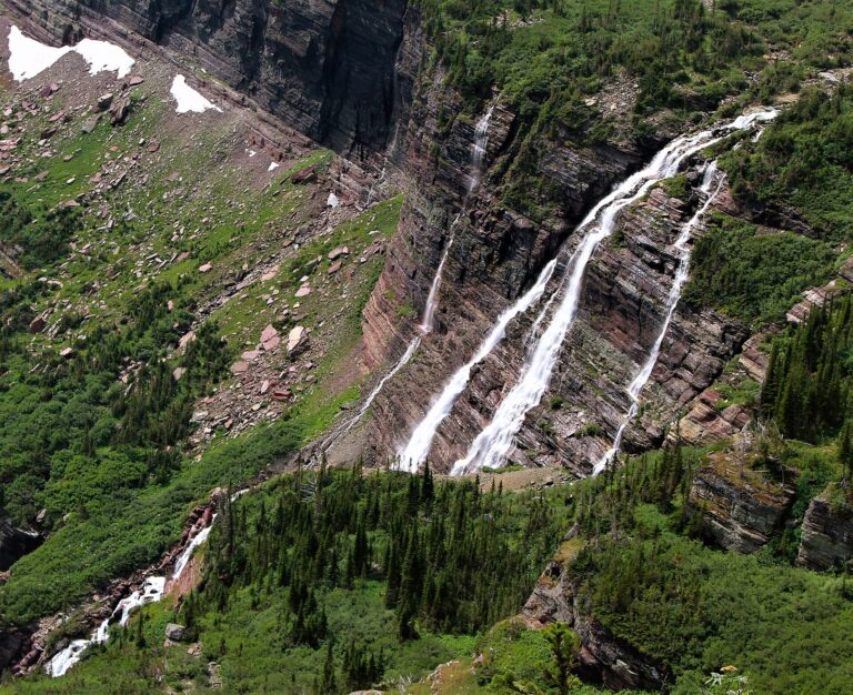
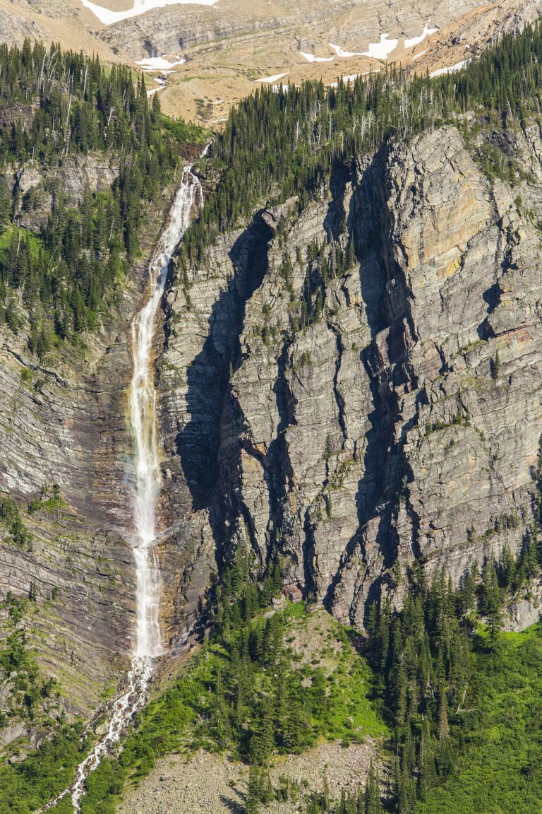
- Tallest drop 517 ft · 4 drops
- On Lincoln Creek
- 25 mi from Columbia Falls
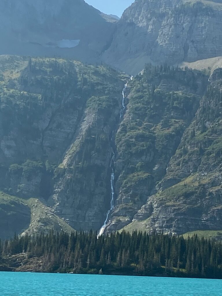
- Tallest drop 280 ft · 7 drops
- On Grinnell Creek
- 34 mi from Columbia Falls
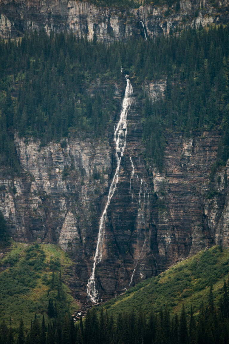
- On meltwater of Ipasha Glacier
- 37 mi from Columbia Falls
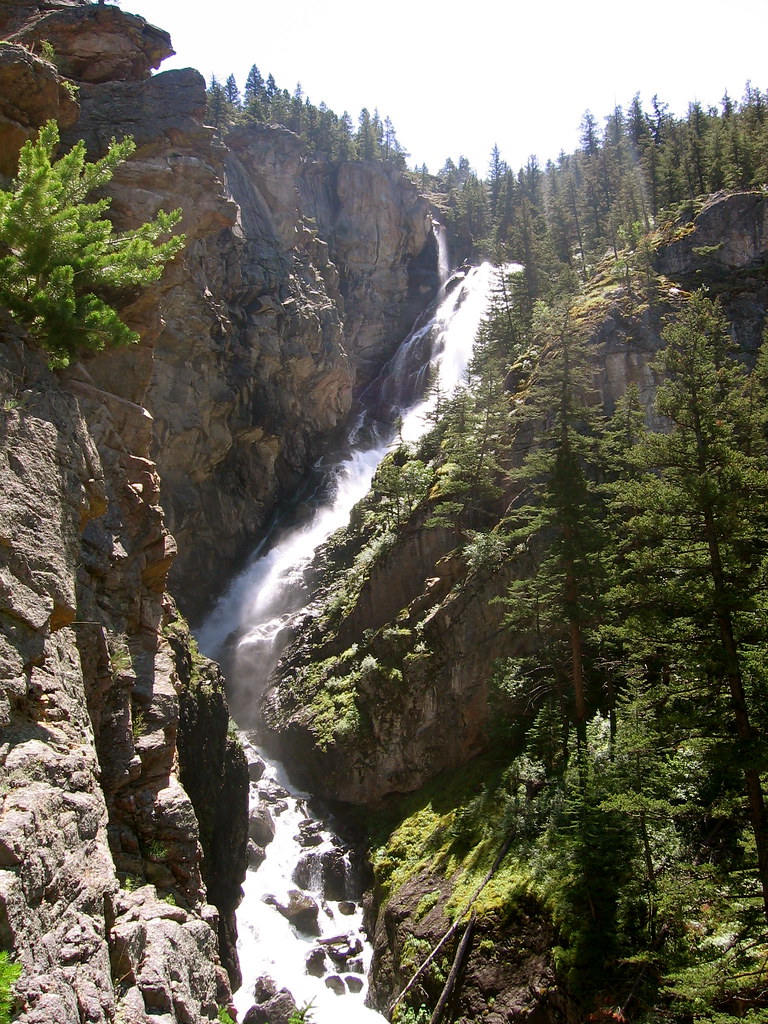
- 31 mi from Columbia Falls
- Tallest drop 235 ft · 3 drops
- On Woodbine Creek
- 24 mi from Absarokee
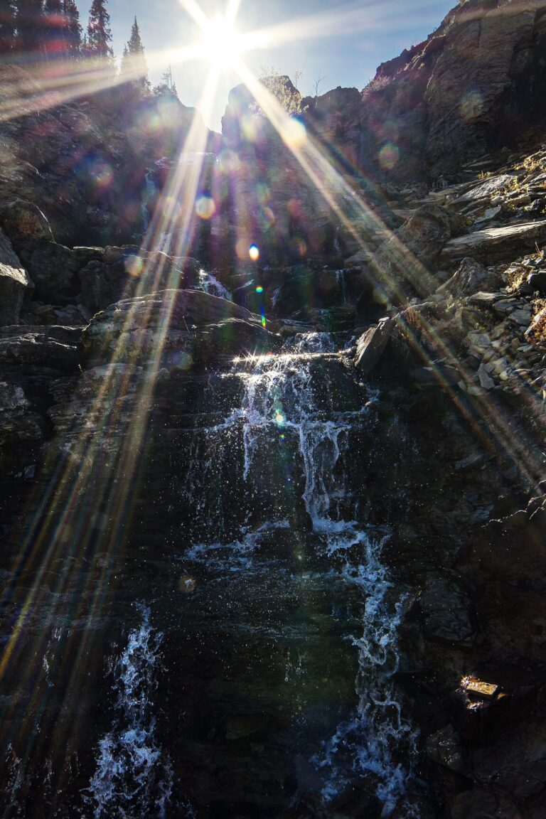
- On Logan Creek
- 31 mi from Columbia Falls
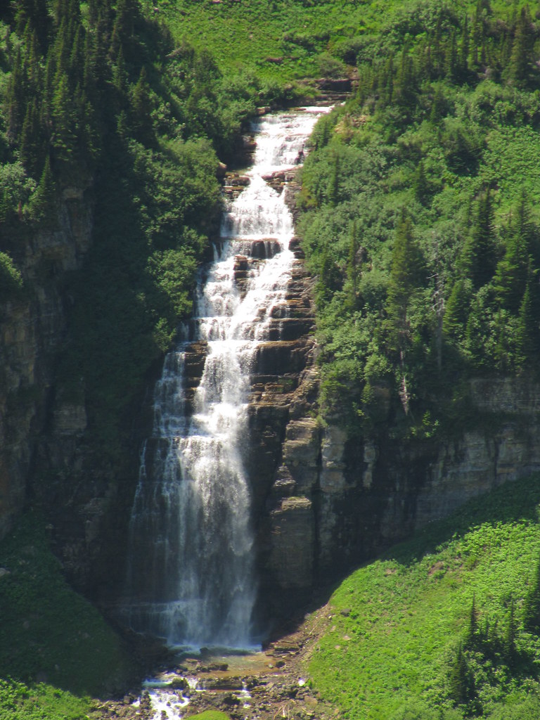
- Tallest drop 160 ft
- On Reynolds Creek
- 31 mi from Columbia Falls
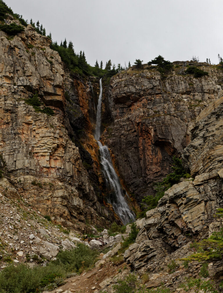
- Tallest drop 90 ft · 2 drops
- On Apikuni Creek
- 34 mi from North Browning
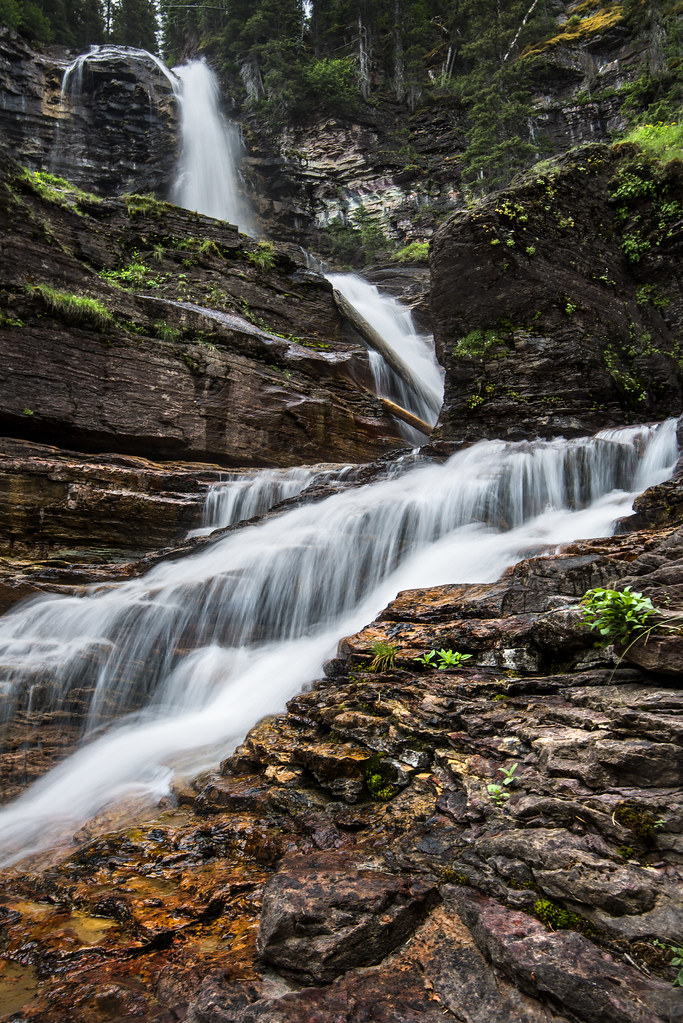
- Tallest drop 120 ft · 3 drops
- On Virginia Creek
- 28 mi from North Browning
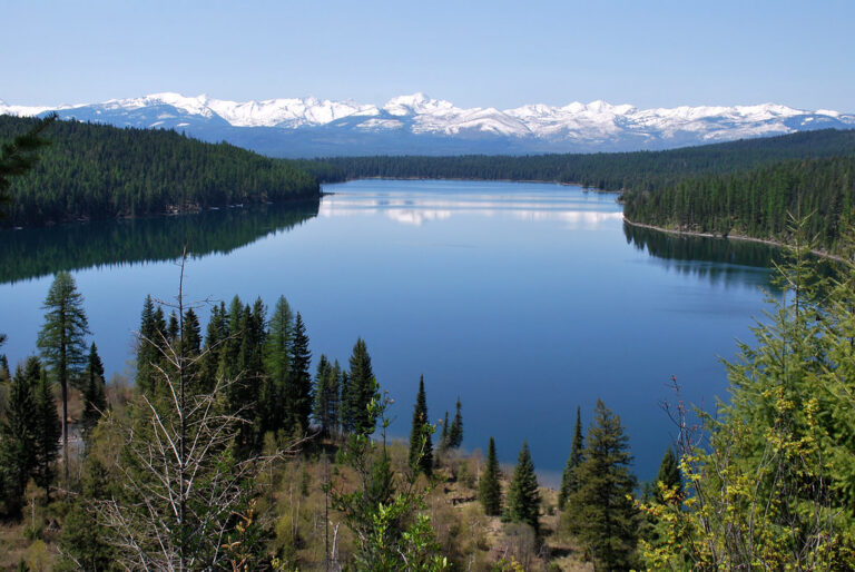
- 2 drops
- On Holland Creek
- 19 mi from Seeley Lake
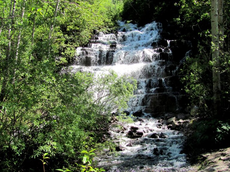
- Tallest drop 65 ft · 2 drops
- On Belly River
- 40 mi from North Browning
![Running Eagle Falls - [Two Medicine Area] - 4 (Early in the season when there is more water flowing, it cascades from both over the top of the cliff a](https://fallsdiscovery.com/wp-content/uploads/2026/09/7833981276_2d245a0a69_b-768x576.jpg "Running Eagle Falls - [Two Medicine Area] - 4 (Early in the season when there is more water flowing, it cascades from both over the top of the cliff a")
- Tallest drop 70 ft
- On Two Medicine Creek
- 16 mi from South Browning
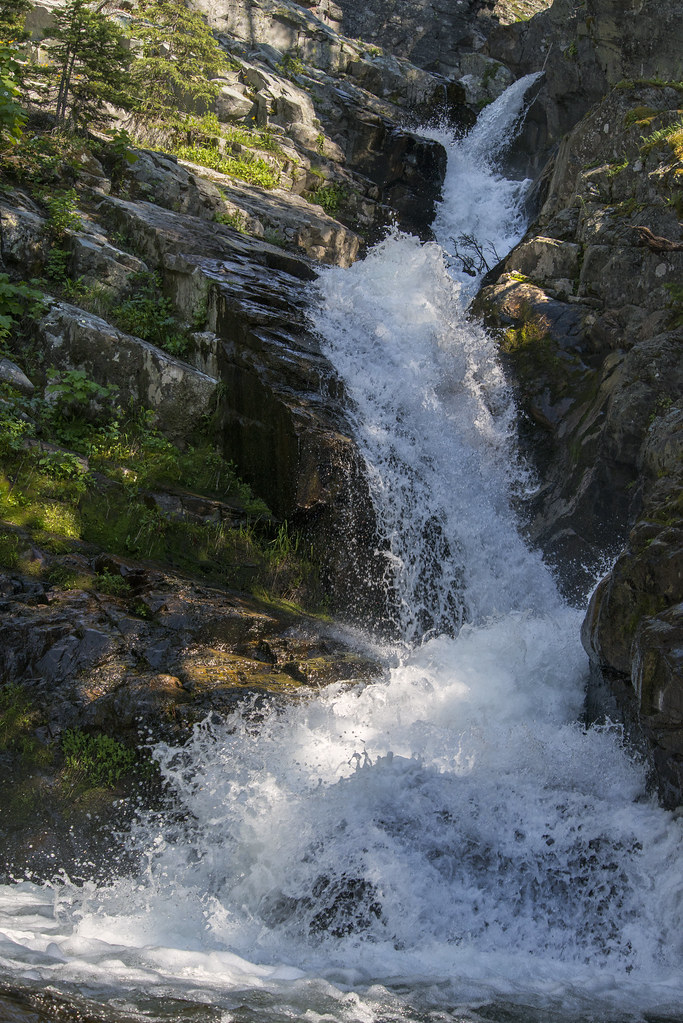
- Tallest drop 50 ft · 2 drops
- On Appistoki Creek
- 16 mi from South Browning
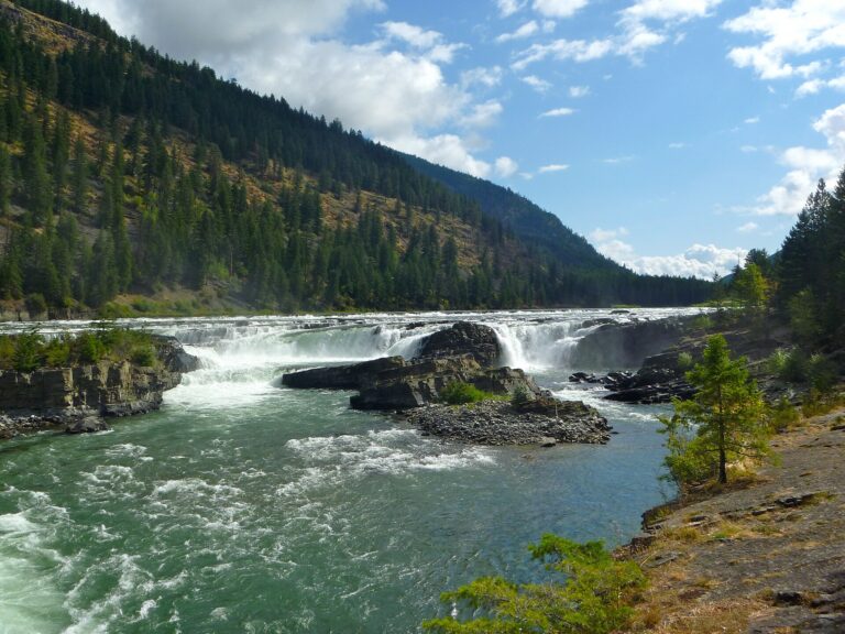
- Tallest drop 31 ft · 2 drops
- On Kootenai River
- 11 mi from Libby
- 32 mi from Columbia Falls
- 2 drops
- On Baring Creek
- 28 mi from North Browning
- On Mokowanis River
- 42 mi from North Browning
- 2 mi from Malmstrom Air Force Base
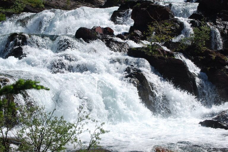
- 2 drops
- On Swiftcurrent Creek
- 36 mi from North Browning
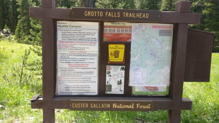
- On Hyalite Creek
- 17 mi from Bozeman
Montana waterfalls, from Glacier's hanging valleys to the Great Falls of the Missouri
Glaciers, ancient and a few dozen still hanging on today, cut most of Montana's waterfall country. Ice-age ice gouged deep, U-shaped valleys through the northern Rockies and left side streams to drop from hanging valleys straight down the walls, and the park named for them, fed by its remaining glaciers and ordinary snowpack, holds the largest share of the state's 252 named waterfalls. Outside the park, older, harder rock holds up shorter, easier falls, from a wide ledge on the Kootenai River in the northwest corner to the Missouri River's drop through the city of Great Falls.
Where the waterfalls are
Glacier National Park holds more than half the state's listed falls: 83 in Glacier County and 48 in Flathead County, split by the Continental Divide. Along Going-to-the-Sun Road, falls drop from hanging valleys almost to the pavement; the Many Glacier and Two Medicine valleys add falls on quieter roads to the north and south.
In the far northwest, Lincoln County covers the Kootenai and Yaak river country, where old, folded sedimentary rock holds up Kootenai Falls. South-central Montana's Absaroka-Beartooth country spans Park County, Sweet Grass County, Stillwater County and Carbon County, where glacier-carved granite feeds falls on creeks running toward the Yellowstone River. Near Bozeman, Gallatin County packs falls into Hyalite Canyon and around Big Sky. On the plains north of the mountains, Cascade County holds the Great Falls of the Missouri River. The rest are scattered through the Rockies' western foothills, including Lewis and Clark County near Helena, Missoula County and Lake County around the Swan and Mission ranges, and Ravalli County in the Bitterroot.
Waterfalls worth the trip
- Grinnell Falls, 970 feet down the cliffs below Grinnell Glacier in the Many Glacier valley, is a 3.4-mile walk each way to Grinnell Lake, cut to 1.1 miles by crossing two lakes on a seasonal tour boat.
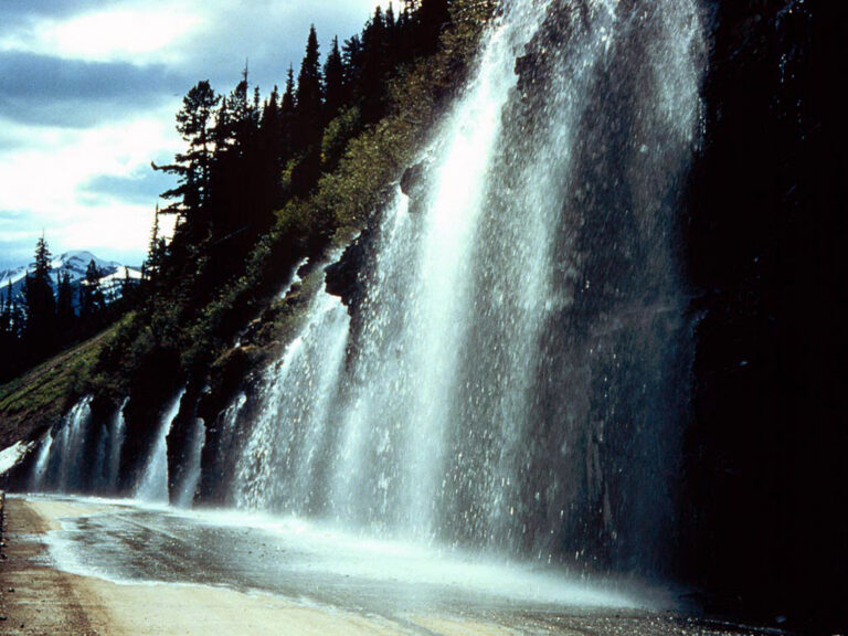
- Bird Woman Falls, 675 feet off a hanging valley below Mount Oberlin, is seen from a roadside pullout about 27 miles up Going-to-the-Sun Road; no trail reaches it.
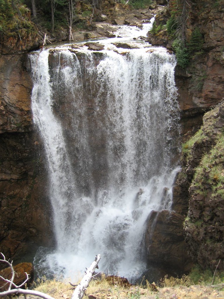
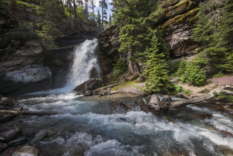
- Saint Mary Falls, 35 feet in two tiers, is a 1.6-mile round trip from the shuttle stop; farther up the same trail, Virginia Falls, 165 feet down three tiers, is a 3.6-mile round trip from the main trailhead.
- Running Eagle Falls, also called Trick Falls, drops 75 feet in the Two Medicine area, its lower half pouring out of a hole in the cliff, on an easy, wheelchair-accessible walk.
- Kootenai Falls, 55 feet across a ledge about 845 feet wide on the Kootenai River, is the largest waterfall in Montana by volume and the largest that has never been dammed; a 1.5-mile round trip crosses a swinging bridge above the gorge.
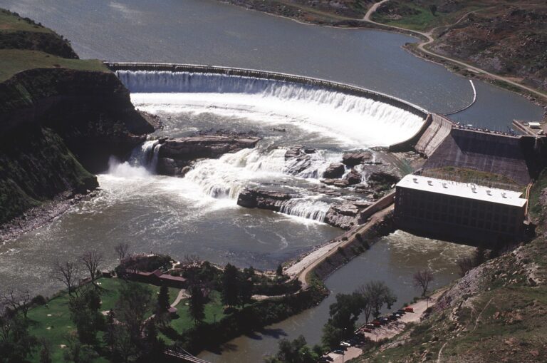
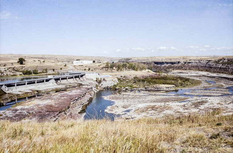
- Big Falls, 87 feet, and Rainbow Falls, 44 feet, are two of the five Great Falls of the Missouri that Lewis and Clark portaged around in June 1805, both inside Giant Springs State Park.
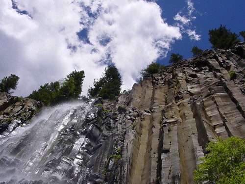
- Palisade Falls, 145 feet off a basalt cliff in Hyalite Canyon, has a paved, wheelchair-accessible trail only 1.2 miles round trip.
- Woodbine Falls, 375 feet in three tiers near Nye, is a steady 1.4-mile round trip from Woodbine Campground on the edge of the Absaroka-Beartooth Wilderness.
When to go
Glacier's high falls run strongest in the weeks after Going-to-the-Sun Road opens, usually late June or early July, and taper as the snowpack melts away. Running Eagle Falls works on two clocks: an upper ledge that runs only with spring snowmelt, and a lower fall from a cave outlet that keeps flowing after the upper one dries up. The Great Falls of the Missouri follow dam schedules, closest to their natural form during spring runoff and much reduced once autumn diversions begin. Hyalite Canyon Road above Bozeman, the way in to Palisade Falls, closes every year from about April 1 to mid-May.
Fees, permits and closures
Glacier National Park charges $35 per vehicle for a seven-day pass in summer and $25 from November through April, plus $100 a person for non-US residents 16 and older unless they hold an Annual or America the Beautiful Pass. No vehicle reservation is required anywhere in the park in 2026; a shuttle starts July 1 with $1 tickets on Recreation.gov, and Logan Pass limits parking to three hours from the same date. Two Medicine Road has been closed at the Running Eagle Falls Trailhead since September 8, 2026, for a rebuild expected to run into 2027. Giant Springs State Park, home to Big Falls and Rainbow Falls, costs Montana residents nothing beyond the $9 fee paid at vehicle registration and charges nonresidents $8 a vehicle or $4 on foot or by bike, open all year, sunrise to sunset. Hyalite Canyon's trailheads and the Kootenai Falls day-use area charge no fee.
Safety
A hiker drowned at Virginia Falls in June 2010 after slipping off the trail bridge into 40- to 45-degree water. Glacier is grizzly country: a hiker was injured in a bear encounter on the Grinnell Glacier Trail in May 2026. An ice climber died in a fall at Grotto Falls in Hyalite Canyon in November 2023, and rescuers airlifted an injured person from near Kootenai Falls in September 2026. Stay back from unfenced ledges and fast water above any drop.
Waterfalls in Montana on the map
Numbers show how many sit in that area; zoom in or click to split them, click a marker for details.
Tallest waterfalls in Montana
- Ahern Glacier Falls1,830 ftGlacier County
- Pocket Creek Falls1,650 ftFlathead County
- Lake Frances Falls1,560 ftGlacier County
- Harrison Basin Falls1,450 ftFlathead County
- Blackwell Falls1,180 ftLincoln County
- Beaver Chief Falls1,125 ftFlathead County
- Hidden Lake Falls1,120 ftFlathead County
- Pumpelly Basin Falls1,075 ftFlathead County
- Avalanche Basin Falls1,000 ftFlathead County
- Mission Falls1,000 ftLake County
Waterfalls by county
Montana has named waterfalls in 21 counties. The most are in Glacier County (83), Flathead County (48), Park County (18), Gallatin County (14), Lincoln County (14), Lewis and Clark County (10). Every county has its own page with a map and the tallest falls:
- Beaverhead County 1
- Carbon County 7
- Cascade County 8
- Fergus County 2
- Flathead County 48
- Gallatin County 14
- Glacier County 83
- Jefferson County 2
- Lake County 5
- Lewis and Clark County 10
- Lincoln County 14
- Madison County 3
- Mineral County 1
- Missoula County 6
- Park County 18
- Powell County 5
- Ravalli County 7
- Sanders County 4
- Stillwater County 5
- Sweet Grass County 6
- Teton County 3
Types of waterfalls in Montana
tiered (56), horsetail (24), cascade (23), plunge (17), block (6), segmented (6). What the types mean is explained in the guide to waterfall types.
About the data
Of the 252 waterfalls in Montana, 203 have a measured height, 137 have coordinates verified against aerial imagery and 31 have photos. Heights are the total drop as recorded by the source; falls without a measurement are listed without one. Every page has the stream, the nearest town and distance, a map with directions and a review form for photos and notes.