Waterfalls in New York
879 waterfalls in New York across 53 counties, from the USGS dataset; 692 with a measured height. The tallest is Buttermilk Falls at 550 ft. All US waterfalls.
State: New York 47
- Alabama 97
- Arizona 66
- Arkansas 280
- California 1,039
- Colorado 345
- Connecticut 79
- Florida 3
- Georgia 298
- Idaho 249
- Illinois 20
- Indiana 24
- Iowa 8
- Kansas 24
- Kentucky 65
- Louisiana 6
- Maine 175
- Maryland 13
- Massachusetts 37
- Michigan 294
- Minnesota 43
- Mississippi 8
- Missouri 11
- Montana 252
- Nebraska 14
- Nevada 25
- New Hampshire 264
- New Jersey 5
- New Mexico 20
- New York 879
- North Carolina 495
- North Dakota 1
- Ohio 26
- Oklahoma 30
- Oregon 1,342
- Pennsylvania 274
- Rhode Island 5
- South Carolina 22
- South Dakota 10
- Tennessee 427
- Texas 71
- Utah 76
- Vermont 229
- Virginia 127
- Washington 2,596
- West Virginia 13
- Wisconsin 83
- Wyoming 267
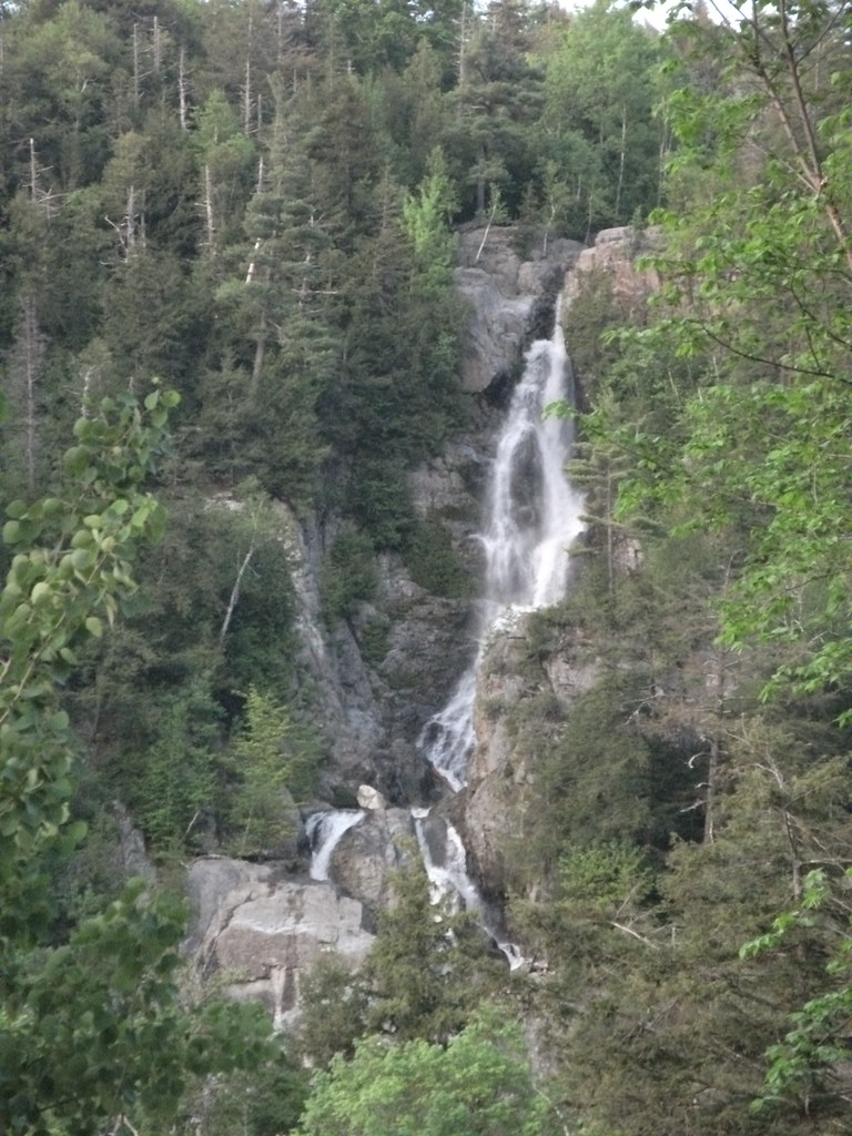
- Tallest drop 135 ft · 3 drops
- On Roaring Brook
- 12 mi from North Elba
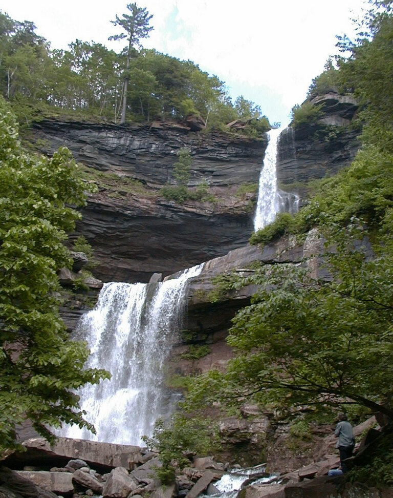
- Tallest drop 167 ft · 2 drops
- On Lake Creek
- 3 mi from Palenville
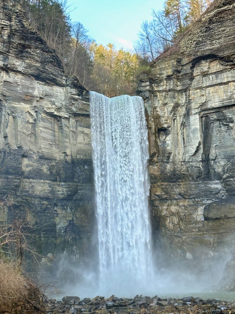
- On Taughannock Creek
- 3 mi from Trumansburg
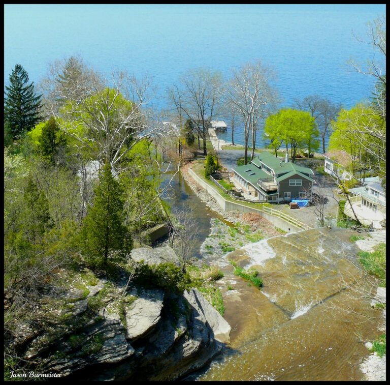
- Tallest drop 50 ft · 7 drops
- On Hector Falls Creek
- 3 mi from Watkins Glen

- On Niagara River
- 1 mi from Niagara Falls
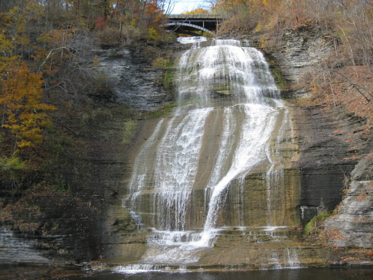
- Tallest drop 112 ft · 2 drops
- On Shequaga Creek
- Under 1 mi from Montour Falls
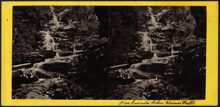
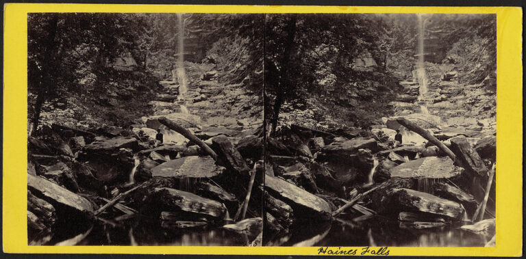
- Tallest drop 85 ft · 7 drops
- On Kaaterskill Creek
- 4 mi from Palenville
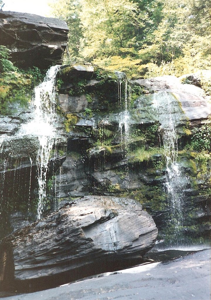
- Tallest drop 80 ft · 3 drops
- 4 mi from Palenville
- On Beer Kill
- 2 mi from Ellenville
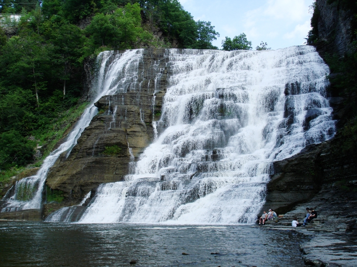
- On Fall Creek
- Under 1 mi from Cayuga Heights
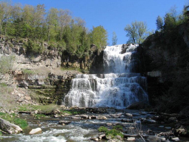
- Tallest drop 74 ft · 2 drops
- On Chittenango Creek
- 3 mi from Cazenovia
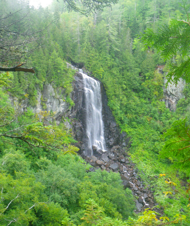
- On Ok Slip Brook
- 27 mi from Warrensburg
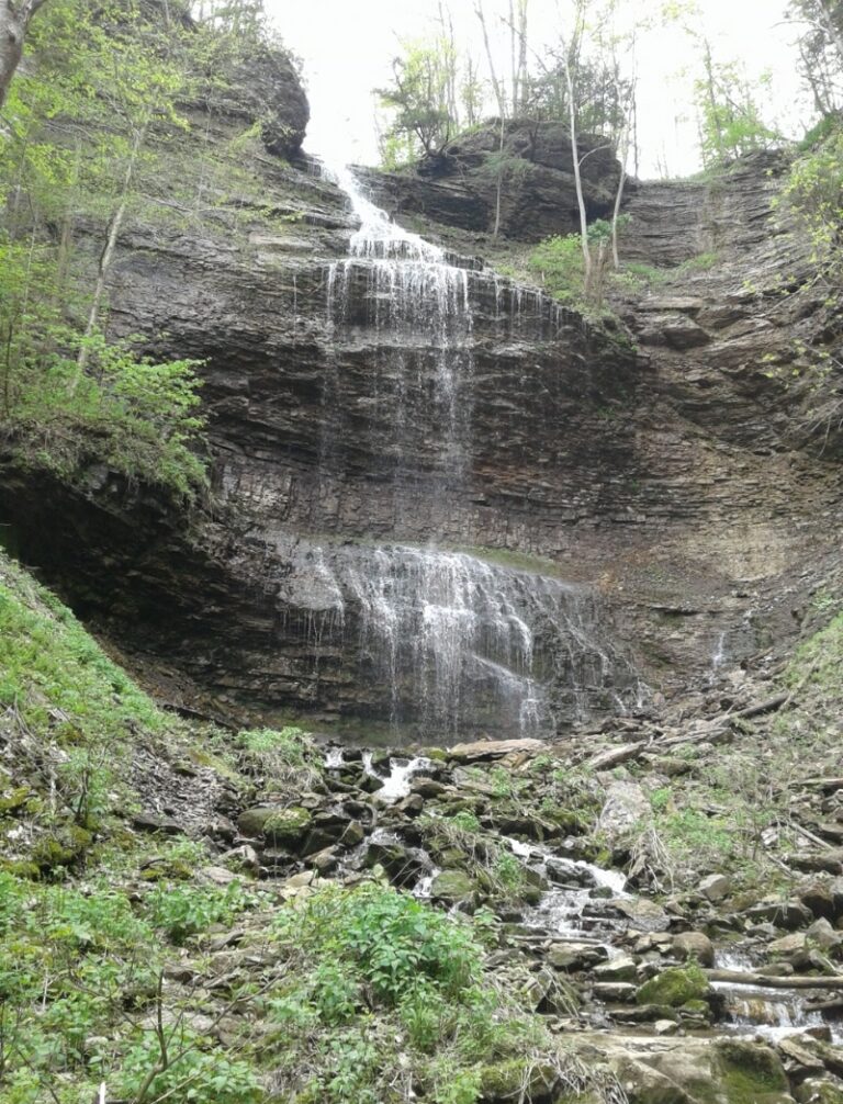
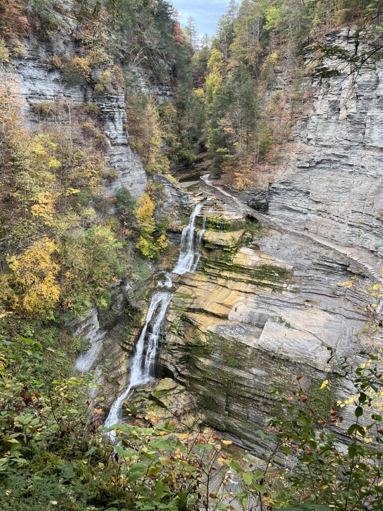
- On Enfield Creek
- 5 mi from South Hill
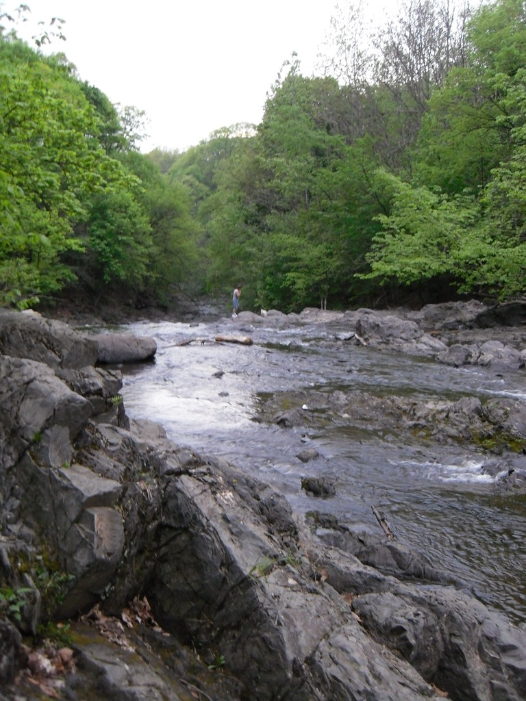
- Tallest drop 32 ft · 5 drops
- On Poesten Kill
- Under 1 mi from Troy
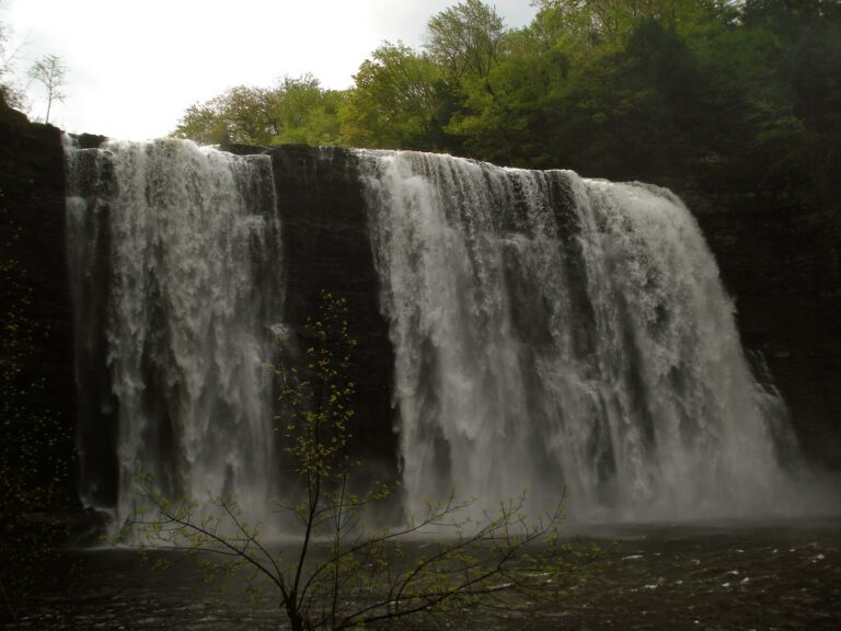
- On Salmon River
- 6 mi from Richland
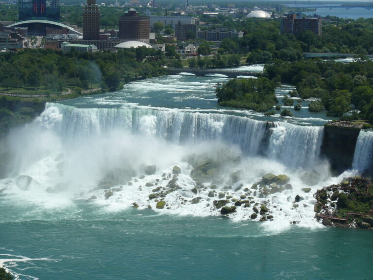
- Under 1 mi from Niagara Falls

- Tallest drop 55 ft · 3 drops
- On West Canada Creek
- 13 mi from Oriskany
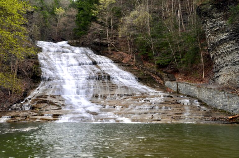
- Tallest drop 72 ft · 2 drops
- On Buttermilk Creek
- 2 mi from South Hill
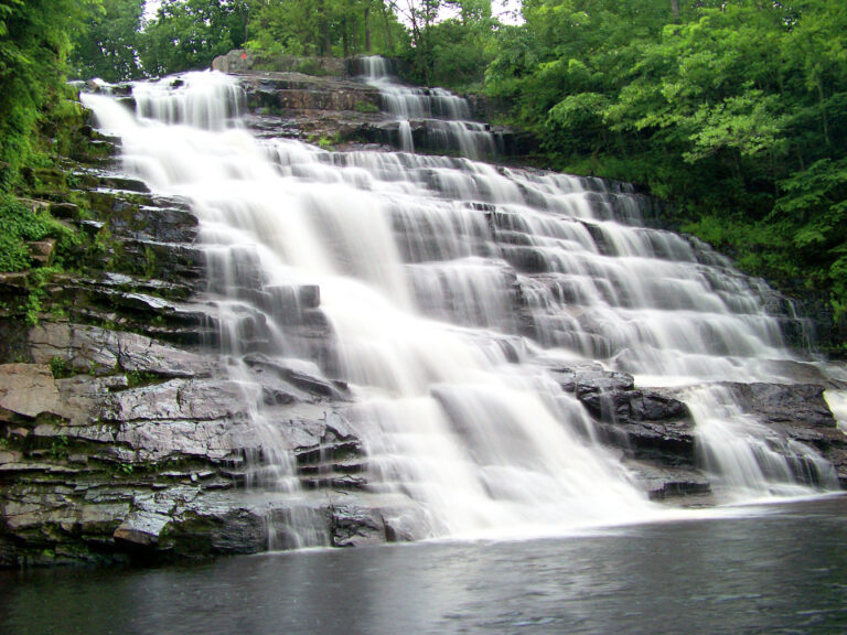
- On Poesten Kill
- 1 mi from Poestenkill
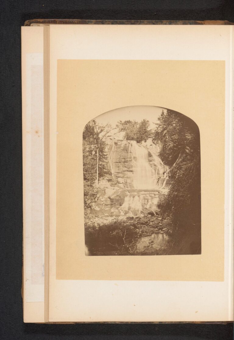
- Tallest drop 75 ft · 2 drops
- On Dresserville Creek
- Under 1 mi from Moravia
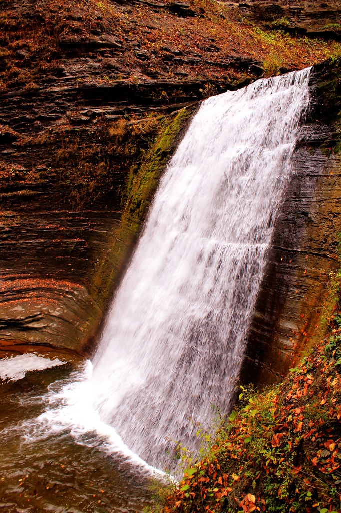
- On Genesee River
- 2 mi from Rochester
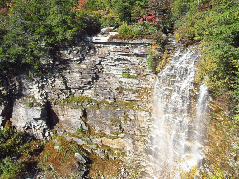
- On Verkeerder Kill
- 4 mi from Ellenville
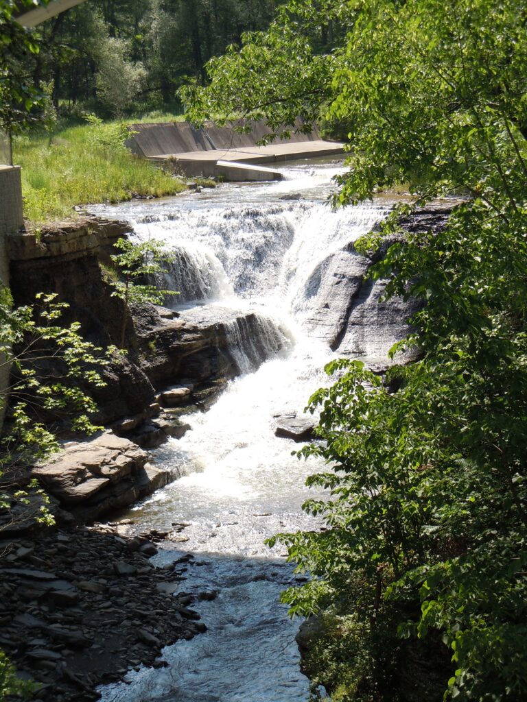
New York waterfalls, from Niagara to the Catskills
Glaciers, an inland sea and a river cutting across its own tilted bedrock have left New York with waterfall country in several distinct landscapes rather than one. Of the 879 named falls recorded here across 53 counties, most cluster in four places: the Adirondack high peaks, the Catskill escarpment above the Hudson Valley, the glacially deepened gorges of the Finger Lakes, and the limestone ledge that the Niagara River pours over in the far west.
Where the waterfalls are
The Adirondacks hold the largest share by county: Essex County alone has 63 named falls, with dozens more in St. Lawrence County and Lewis County, all cutting into some of the oldest exposed rock in North America inside a forest preserve kept "forever wild" since 1894.
South of the Adirondacks, the Catskills are a plateau, not a true mountain range, its Devonian sandstone and shale cut into sharp relief where creeks cross the Catskill Escarpment above the Hudson Valley; Greene County and Ulster County hold most of this country around Kaaterskill Clove.
The Finger Lakes owe their gorges to glaciers that cut the main lake valleys faster than tributary streams could keep up, leaving side creeks hanging as much as 390 feet above the lakeshores. Tompkins County and Schuyler County hold Taughannock Falls and Watkins Glen, while Wyoming County and Livingston County share the Genesee gorge at Letchworth.
Farther west, Niagara County has Niagara Falls, and the Genesee crosses more falls in Monroe County at Rochester. Central New York's falls, including Chittenango Falls in Madison County and Tinker Falls in Cortland County, drop over a limestone escarpment near Syracuse, and Albany County has Cohoes Falls on the Mohawk.
Waterfalls worth the trip
- Niagara Falls drops 167 feet at its Horseshoe Falls, a curtain just over 2,700 feet wide; a short walk from the lots, Terrapin Point on Goat Island puts visitors beside the brink, where about 90 percent of the river's remaining flow pours through.
- Kaaterskill Falls drops 231 feet in two tiers (some give 260), a short 0.3-mile gravel walk from the Laurel House Road lot to a platform above the upper tier.
- Taughannock Falls, a sheer 209-foot plunge (the park still signs 215), falls into a stone amphitheater at the head of a mile-long gorge, a short flat walk from the main lot.
- At Letchworth State Park, Middle Genesee Falls, 107 feet and the tallest of three drops on the Genesee River, is a short walk from parking near the Glen Iris Inn; Upper Genesee Falls and Lower Genesee Falls, each 70 feet, sit up- and downstream in the same gorge, whose walls rise as high as 600 feet.
- Rainbow Falls in Watkins Glen State Park drops 95 feet along a mile-long gorge trail past 19 named waterfalls, including Cavern Cascade.
- Chittenango Falls, 130 feet in two tiers (older figures give 167), is a short walk from the gorge-top lot and the only known home of an endangered snail.
- Buttermilk Falls in Ithaca slides 95 feet down a wide ledge (older figures give 165) into a lifeguarded pool a short walk from parking.
When to go
Streams in the Adirondacks, Catskills and Finger Lakes peak with spring snowmelt and rain, then thin through summer: Chittenango Creek runs about 250 cubic feet per second in March and April and drops to roughly 30 by August and September, and Taughannock and Buttermilk creeks in Ithaca can shrink to a trickle in a dry late summer. Kaaterskill Falls runs all year but is most reliable in spring and fall. The Niagara and Mohawk rivers run strong regardless of season, though Cohoes Falls carries the most water from November through May, before summer hydropower diversion reduces it. Watkins Glen's gorge trail is open mid-to-late May through October 25 each year.
Fees, passes and closures
New York State Parks charges $10 a vehicle at most of its waterfall parks, including Taughannock Falls year-round and Letchworth from May 8 through October 18, 2026; the $80 Empire Pass covers unlimited entry. Watkins Glen's $10 fee includes pool admission, plus a $6 one-way shuttle between its three entrances in season. Niagara Falls State Park is free, but parking in its main lot runs $10 to $15 a day by season. DEC forest preserve trailheads charge nothing: Kaaterskill Falls and the higher, separate Buttermilk Falls on John Case Brook in the same clove are both free year-round, though parking is banned along Route 23A near Kaaterskill Falls from May through October, with towing enforced. At Letchworth, the trail from the Middle Falls to the Genesee Arch Bridge is permanently closed.
Safety
New York's gorges and cliffs have killed visitors who left the marked trail. At Kaaterskill Falls, rules call for staying more than six feet from cliff edges and out of the water within 150 feet upstream; several people have died there, including a 70-year-old hiker who fell from a ledge onto the stone steps in June 2025. Falling rock killed a woman at Taughannock Falls in 2005 after her family left the trail near the base. Four teenage camp counselors drowned together at Split Rock Falls in the Adirondacks in 2003, most of them while trying to help one another. Stay on the marked path and behind any railing.
Waterfalls in New York on the map
Numbers show how many sit in that area; zoom in or click to split them, click a marker for details.
Tallest waterfalls in New York
- Buttermilk Falls550 ftGreene County
- Cascade Lake Falls525 ftEssex County
- Bouchoux Hill Falls455 ftDelaware County
- Eldest Stepsister Cascade330 ftWyoming County
- Stepmother Cascade330 ftWyoming County
- Inspriration Falls325 ftWyoming County
- Santa Cruz Falls300 ftGreene County
- T Lake Falls300 ftHamilton County
- Roaring Brook Falls270 ftEssex County
- Kaaterskill Falls231 ftGreene County
Waterfalls by county
New York has named waterfalls in 53 counties. The most are in Essex County (63), St. Lawrence County (58), Greene County (55), Ulster County (49), Tompkins County (46), Lewis County (41). Every county has its own page with a map and the tallest falls:
- Albany County 21
- Allegany County 8
- Cattaraugus County 12
- Cayuga County 18
- Chautauqua County 6
- Chenango County 3
- Clinton County 9
- Columbia County 8
- Cortland County 4
- Delaware County 11
- Dutchess County 18
- Erie County 14
- Essex County 63
- Franklin County 11
- Fulton County 4
- Genesee County 4
- Greene County 55
- Hamilton County 27
- Herkimer County 18
- Jefferson County 20
- Lewis County 41
- Livingston County 26
- Madison County 9
- Monroe County 7
- Montgomery County 14
- Niagara County 10
- Oneida County 12
- Onondaga County 21
- Ontario County 21
- Orange County 10
- Orleans County 5
- Oswego County 3
- Otsego County 6
- Putnam County 3
- Rensselaer County 22
- Rockland County 3
- Saratoga County 9
- Schenectady County 10
- Schoharie County 10
- Schuyler County 30
- Seneca County 8
- St. Lawrence County 58
- Steuben County 14
- Sullivan County 22
- Tioga County 3
- Tompkins County 46
- Ulster County 49
- Warren County 17
- Washington County 14
- Wayne County 1
- Westchester County 3
- Wyoming County 23
- Yates County 15
Types of waterfalls in New York
dam (32), plunge (23), horsetail (20), tiered (14), cascade (5), ephemeral (5). What the types mean is explained in the guide to waterfall types.
About the data
Of the 879 waterfalls in New York, 692 have a measured height, 435 have coordinates verified against aerial imagery and 86 have photos. Heights are the total drop as recorded by the source; falls without a measurement are listed without one. Every page has the stream, the nearest town and distance, a map with directions and a review form for photos and notes.
Find waterfalls near me · All US waterfalls
Sources
- en.wikipedia.org
- en.wikipedia.org
- en.wikipedia.org
- en.wikipedia.org
- en.wikipedia.org
- parks.ny.gov
- parks.ny.gov
- parks.ny.gov
- niagarafallsstatepark.com
- worldwaterfalldatabase.com
- worldwaterfalldatabase.com
- worldwaterfalldatabase.com
- worldwaterfalldatabase.com
- worldwaterfalldatabase.com
- worldwaterfalldatabase.com
- dec.ny.gov