Waterfalls in New Mexico
20 waterfalls in New Mexico across 11 counties, from the USGS dataset; 18 with a measured height. The tallest is El Chorro Falls at 1,265 ft. All US waterfalls.
State: New Mexico 47
- Alabama 97
- Arizona 66
- Arkansas 280
- California 1,039
- Colorado 345
- Connecticut 79
- Florida 3
- Georgia 298
- Idaho 249
- Illinois 20
- Indiana 24
- Iowa 8
- Kansas 24
- Kentucky 65
- Louisiana 6
- Maine 175
- Maryland 13
- Massachusetts 37
- Michigan 294
- Minnesota 43
- Mississippi 8
- Missouri 11
- Montana 252
- Nebraska 14
- Nevada 25
- New Hampshire 264
- New Jersey 5
- New Mexico 20
- New York 879
- North Carolina 495
- North Dakota 1
- Ohio 26
- Oklahoma 30
- Oregon 1,342
- Pennsylvania 274
- Rhode Island 5
- South Carolina 22
- South Dakota 10
- Tennessee 427
- Texas 71
- Utah 76
- Vermont 229
- Virginia 127
- Washington 2,596
- West Virginia 13
- Wisconsin 83
- Wyoming 267
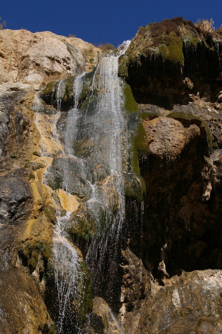
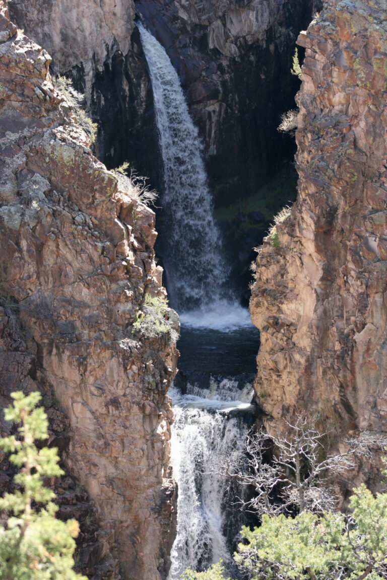
- Tallest drop 45 ft · 3 drops
- 5 mi from Nambe
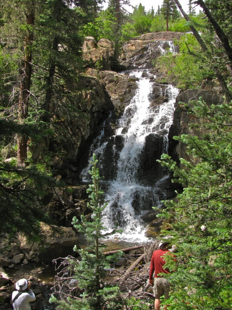
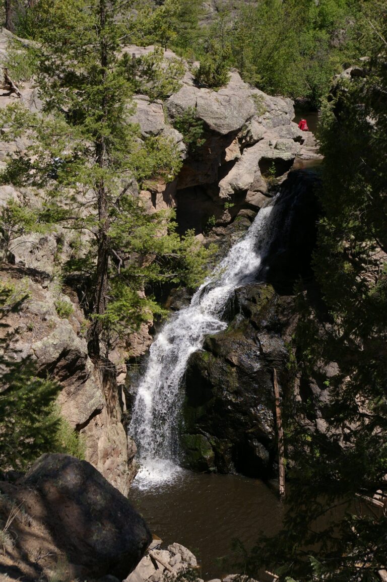

- 6 mi from White Rock
- On Aragon Springs
- 25 mi from Santa Teresa
- Tallest drop 20 ft
- 14 mi from Alamogordo
New Mexico's waterfalls, from volcanic canyons to pueblo land
New Mexico's waterfalls owe less to rainfall than to relief: young volcanic mountains in the north and canyons cut into old lava and sandstone give streams somewhere to drop. Twenty named falls turn up across the state, and more than half sit in just two counties around the Jemez Mountains and the upper Rio Grande.
Where the waterfalls are
Rio Arriba County holds the most listings, 7, stretching from the Chama highlands down toward the Sangre de Cristo Mountains, whose Truchas Peak reaches 13,102 feet. Sandoval County has 4, on the volcanic east flank of the Jemez Mountains around Jemez Falls and inside Bandelier National Monument's Frijoles Canyon; nearby Jemez Springs also has Soda Dam, a travertine formation built by hot springs on the same volcanic ground. Lincoln National Forest covers both Eddy County, home to Sitting Bull Falls in the Guadalupe Ranger District, and Otero County farther west. The rest sit one to a county: Cibola, Guadalupe, McKinley, Mora, Santa Fe, Socorro and Union counties.
Waterfalls worth the trip
- Sitting Bull Falls, 170 feet, is spring-fed and keeps running through dry stretches; a short paved path from the parking area reaches the pool below it.
- Nambé Falls, 100 feet, tiers down the Rio Nambé on Nambé Pueblo land; a short walk from the Ramada Area reaches an upper overlook, and a lower route wades the river to the base pool.
- Pecos Falls, 55 feet, is a hike of roughly 9 miles into the Pecos Wilderness, where camping and campfires are banned at the falls themselves.
- Jemez Falls, 35 feet, drops in two steps on the East Fork Jemez River a half mile from its namesake campground, closed since a 2026 wildfire.
- Lower Frijoles Falls, a 60-foot drop, sits inside Bandelier National Monument's Frijoles Canyon.
When to go
Sitting Bull Falls keeps flowing through dry spells because it draws on springs rather than runoff. Jemez Falls rises with spring snowmelt, and Pecos Falls runs year-round but strongest in late May and early June. Nambé Falls' lower approach depends on river depth and can mean wading at high water.
Fees, permits and closures
Sitting Bull Falls charges $10 per vehicle, $25 for a van or bus, year-round with no reservation needed. Nambé Pueblo charges $20 per vehicle, cash or card, at Nambé Falls, and asks visitors to keep dogs on leash. Bandelier National Monument charges $25 per vehicle for a week-long pass, or $15 per person on foot or bicycle, and takes no cash. The Pecos Wilderness needs no permit to reach Pecos Falls, but bans camping and campfires there and caps groups at 15 people. A 2026 wildfire closed Jemez Falls' campground and trailhead; check current conditions before planning a trip.
Safety
Nambé Falls' lower trail wades through the river itself rather than skirting it, and depth shifts with the season. Pecos Falls sits nine miles into designated wilderness. Nambé Falls is on Nambé Pueblo land, not a public park: pay the posted fee at the gate and follow the pueblo's rules.
Waterfalls in New Mexico on the map
Numbers show how many sit in that area; zoom in or click to split them, click a marker for details.
Tallest waterfalls in New Mexico
- El Chorro Falls1,265 ftRio Arriba County
- Sitting Bull Falls170 ftEddy County
- Rio Quemado Falls120 ftRio Arriba County
- Nambe Falls100 ftSanta Fe County
- Lower Frijoles Falls60 ftSandoval County
- Upper Frijoles Falls60 ftSandoval County
- Pecos Falls55 ftMora County
- Aragon Falls35 ftRio Arriba County
- Jemez Falls35 ftSandoval County
- Big Falls30 ftMcKinley County
Waterfalls by county
New Mexico has named waterfalls in 11 counties. The most are in Rio Arriba County (7), Sandoval County (4), McKinley County (1), Otero County (1), Guadalupe County (1), Union County (1). Every county has its own page with a map and the tallest falls:
- Cibola County 1
- Eddy County 1
- Guadalupe County 1
- McKinley County 1
- Mora County 1
- Otero County 1
- Rio Arriba County 7
- Sandoval County 4
- Santa Fe County 1
- Socorro County 1
- Union County 1
Types of waterfalls in New Mexico
horsetail (1), historical (1), cascade (1), dam (1). What the types mean is explained in the guide to waterfall types.
About the data
Of the 20 waterfalls in New Mexico, 18 have a measured height, 3 have coordinates verified against aerial imagery and 4 have photos. Heights are the total drop as recorded by the source; falls without a measurement are listed without one. Every page has the stream, the nearest town and distance, a map with directions and a review form for photos and notes.