Waterfalls in Maine
175 waterfalls in Maine across 15 counties, from the USGS dataset; 125 with a measured height. The tallest is Angel Falls at 370 ft. All US waterfalls.
State: Maine 47
- Alabama 97
- Arizona 66
- Arkansas 280
- California 1,039
- Colorado 345
- Connecticut 79
- Florida 3
- Georgia 298
- Idaho 249
- Illinois 20
- Indiana 24
- Iowa 8
- Kansas 24
- Kentucky 65
- Louisiana 6
- Maine 175
- Maryland 13
- Massachusetts 37
- Michigan 294
- Minnesota 43
- Mississippi 8
- Missouri 11
- Montana 252
- Nebraska 14
- Nevada 25
- New Hampshire 264
- New Jersey 5
- New Mexico 20
- New York 879
- North Carolina 495
- North Dakota 1
- Ohio 26
- Oklahoma 30
- Oregon 1,342
- Pennsylvania 274
- Rhode Island 5
- South Carolina 22
- South Dakota 10
- Tennessee 427
- Texas 71
- Utah 76
- Vermont 229
- Virginia 127
- Washington 2,596
- West Virginia 13
- Wisconsin 83
- Wyoming 267
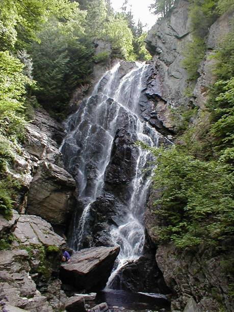
- Tallest drop 175 ft · 3 drops
- On Mountain Brook
- 17 mi from Mexico
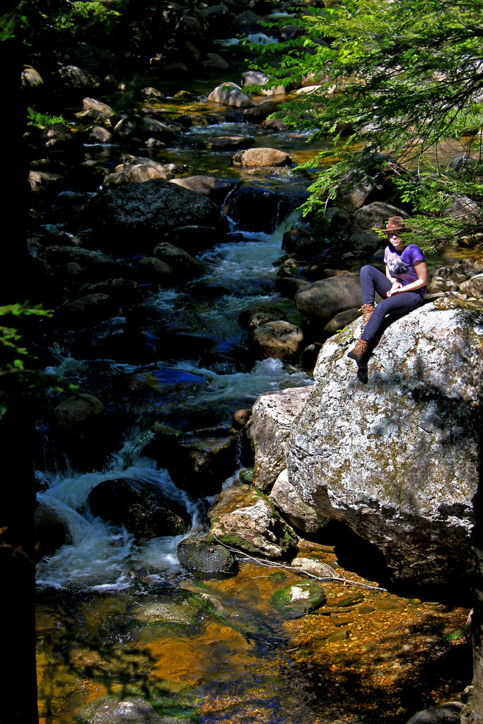
- Tallest drop 30 ft
- On Wight Brook
- 12 mi from Bethel
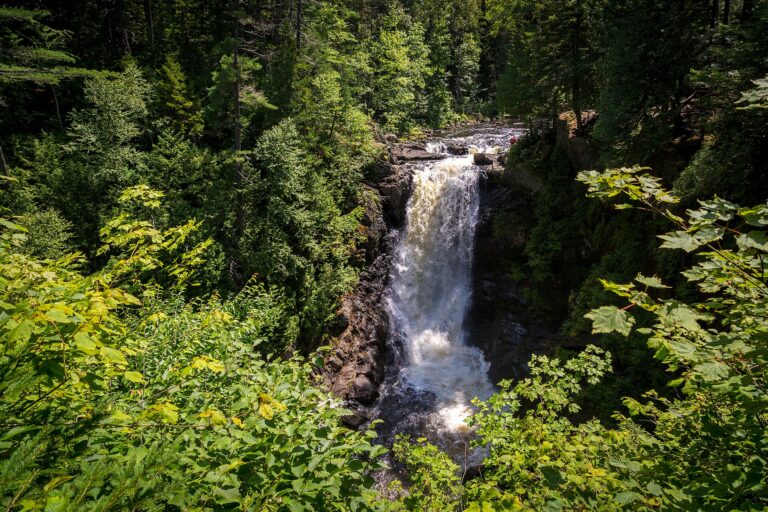
- Tallest drop 46 ft · 3 drops
- On Moxie Stream
- 18 mi from Greenville
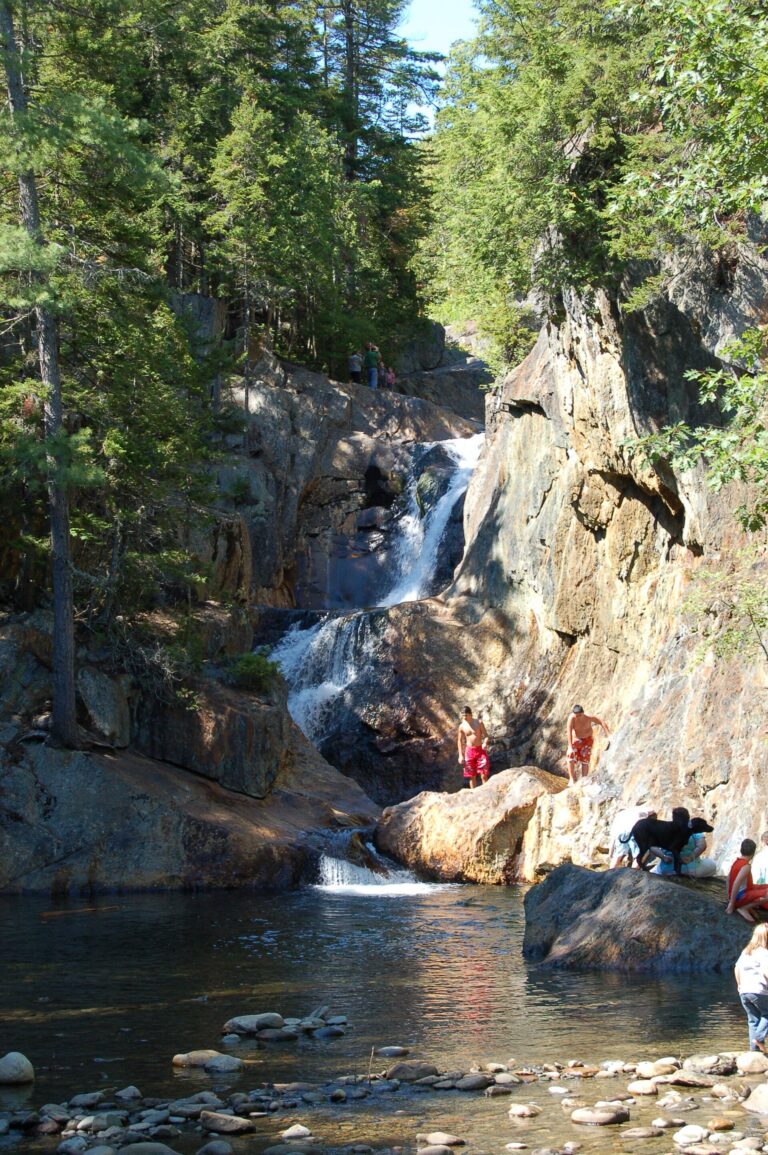
- Tallest drop 22 ft · 6 drops
- On Sandy River
- 9 mi from Phillips
- On Bear River
- 13 mi from Milan
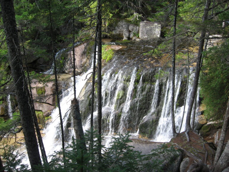
- Tallest drop 20 ft · 3 drops
- On Katahdin Stream
- 21 mi from Millinocket
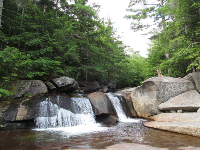
- Tallest drop 18 ft · 4 drops
- On Bear River
- 13 mi from Bethel
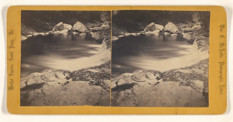
- 2 drops
- On Basin Falls Brook
- 2 mi from Buckfield
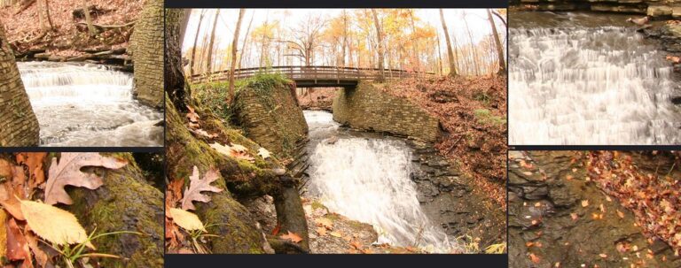
- On West Branch Pleasant River
- 13 mi from Greenville
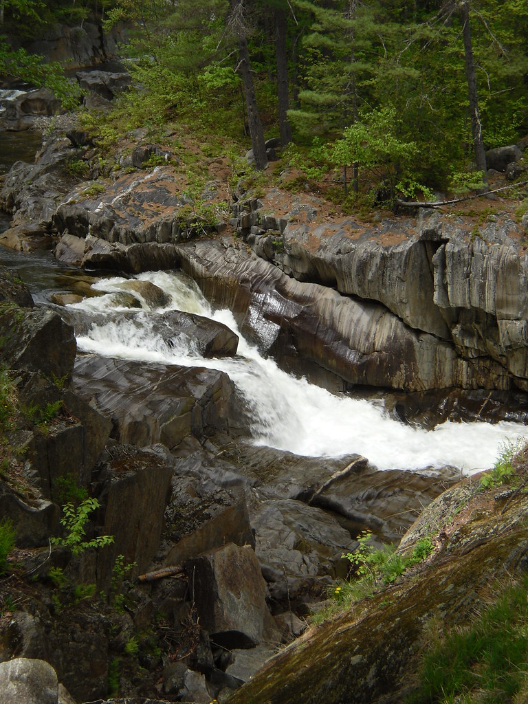
- On Swift River
- 12 mi from Mexico

- 5 drops
- On Fall Brook
- 11 mi from Madison
- On Mad River
- 11 mi from Gorham
- On Billfish Brook
- 20 mi from Patten
- Tallest drop 50 ft · 3 drops
- On Frye Brook
- 16 mi from Rumford
- Tallest drop 78 ft · 2 drops
- On West Branch Ellis River
- 15 mi from Milan
- Tallest drop 40 ft · 2 drops
- 24 mi from Patten
- On tributary of Katahdin Stream
- 21 mi from Millinocket
- On Austin Stream
- 21 mi from Kingfield
- On Androscoggin River
- Under 1 mi from Rumford
- On Little Ossipee River
- 4 mi from Limington
Maine's waterfalls: mountain brooks, coastal rivers and the North Woods
A hard seam of granite and quartzite runs through western and northern Maine, left over from an old collision between continents, and wherever a glacier-scoured brook crosses it, the water drops over a ledge instead of easing down a slope. That geology explains where most of the state's 175 named waterfalls sit: thick around the granite peaks of the Western Mountains, thick again in the North Woods around Katahdin, and thinner along the tidal rivers of Down East and the old mill dams near the southern coast.
Where the waterfalls are
In the Western Mountains, Oxford County has a tight cluster centered on Grafton Notch State Park and the Mahoosuc Range, and Franklin County covers the Rangeley Lakes country next door.
The North Woods spread across four counties: Piscataquis County has the most listings by far, taking in Baxter State Park and the Hundred-Mile Wilderness; Somerset County covers The Forks and the Moosehead region; Penobscot County and Aroostook County round out the timberland further north and east, much of it crossed by gated logging roads.
Down East, Washington County has falls on tidal rivers like the Machias and the Narraguagus, and Hancock County takes in Acadia National Park. Southern Maine's Cumberland County, York County, Androscoggin County, Kennebec County, Lincoln County, Waldo County and Knox County mostly hold smaller drops and old mill dams close to the coast.
Waterfalls worth the trip
- Angel Falls figures at 370 feet across three tiers in a recent drone survey, though most guides still give 90 feet for the visible veil at the base. An easy 1.1-mile round trip near Houghton reaches the cliff-walled gorge.
- Step Falls, 150 feet on Wight Brook, drops in a chain of cascades and potholes on a Mahoosuc Land Trust preserve off Route 26 in Newry, an easy walk of about a mile round trip.
- Mother Walker Falls, 55 feet through a boulder-filled gorge, and Screw Auger Falls, 43 feet on the Bear River, are both short walks from Route 26 parking inside Grafton Notch State Park.
- Smalls Falls, 66 feet in a series of tiers and pothole pools, sits right off Route 4 at a Maine DOT rest area.
- Moxie Falls, 71 feet on Moxie Stream near The Forks, is reached by an easy two-mile round trip with boardwalks and viewing platforms near the end.
- Katahdin Stream Falls, 50 feet in three steps, sits about a mile up the Hunt Trail from Katahdin Stream Campground inside Baxter State Park.
- Deep in the Hundred-Mile Wilderness, a second Screw Auger Falls, 45 feet, and Buttermilk Falls, 10 feet, sit inside Gulf Hagas, a three-mile gorge on the Appalachian Trail with stone walls over 100 feet high, nicknamed the Grand Canyon of Maine.
- Hadlock Falls, is a 40-foot single drop on Hadlock Brook inside Acadia National Park, near Bar Harbor.
When to go
Spring snowmelt gives most of these falls their strongest flow, and several thin out by late summer; Angel Falls runs best from late May to early July. Moxie Stream stays steadier because it drains a lake, with a dam moderating late-season flow. Grafton Notch's day-use season and the Katahdin Trailhead Pass system both run roughly June through mid-October, and North Maine Woods checkpoints for Gulf Hagas operate May to October.
Fees, permits and closures
Grafton Notch State Park, home to Mother Walker Falls and one of the two Screw Auger Falls, charges $3 for a Maine resident adult and $4 for a nonresident in 2026, with reduced or free rates for children and Maine residents 65 and older. Baxter State Park requires a $10 Katahdin Trailhead Pass per vehicle for any hike from Katahdin Stream, Roaring Brook or Abol in 2026, plus a separate nonresident gate pass of $20 per visit or $50 for the season; pets are not allowed, and day use runs 6 a.m. to 10 p.m. Reaching Gulf Hagas means passing a North Maine Woods checkpoint, which charges Maine residents $13 and nonresidents $18 per day in cash or check, with free entry under 18 and over 70. Acadia National Park, home to Hadlock Falls, charges a standard entrance fee of $20 to $35 depending on vehicle or individual passage, and driving Cadillac Summit Road needs a separate $6 reservation from May 20 to October 25, 2026. Redington Pond Falls sits on a closed US Navy reservation and is not open to visitors at any time.
Safety
Several of these falls have taken lives or caused serious injuries at their pools and ledges. A young woman drowned at Smalls Falls in 2022 after falling about 30 feet from an upper pool and becoming trapped in the recirculating current below. A hiker needed a helicopter rescue after slipping down the embankment at Moxie Falls in 2020. Loose rock and steep drop-offs have caused falls at both Angel Falls and the Grafton Notch Screw Auger Falls in recent years, and rescuers have had to carry injured hikers out on litters. Stay back from the lip and out of the current below any of these falls, especially after rain or during spring melt, when flows rise fast.
Waterfalls in Maine on the map
Numbers show how many sit in that area; zoom in or click to split them, click a marker for details.
Tallest waterfalls in Maine
- Angel Falls370 ftFranklin County
- Cascade Brook Falls165 ftOxford County
- Fall Brook Falls165 ftSomerset County
- Step Falls150 ftOxford County
- Mad River Falls130 ftOxford County
- Billfish Brook Falls120 ftPenobscot County
- Cataracts, The110 ftOxford County
- Dunn Falls104 ftOxford County
- Green Falls100 ftPiscataquis County
- Katahdin Falls85 ftPiscataquis County
Waterfalls by county
Maine has named waterfalls in 15 counties. The most are in Piscataquis County (50), Oxford County (34), Somerset County (18), Penobscot County (15), Franklin County (14), Aroostook County (13). Every county has its own page with a map and the tallest falls:
- Androscoggin County 1
- Aroostook County 13
- Cumberland County 6
- Franklin County 14
- Hancock County 2
- Kennebec County 1
- Knox County 2
- Lincoln County 1
- Oxford County 34
- Penobscot County 15
- Piscataquis County 50
- Somerset County 18
- Waldo County 1
- Washington County 12
- York County 5
Types of waterfalls in Maine
tiered (48), cascade (21), block (9), horsetail (7), segmented (6), dam (6). What the types mean is explained in the guide to waterfall types.
About the data
Of the 175 waterfalls in Maine, 125 have a measured height, 146 have coordinates verified against aerial imagery and 12 have photos. Heights are the total drop as recorded by the source; falls without a measurement are listed without one. Every page has the stream, the nearest town and distance, a map with directions and a review form for photos and notes.
Find waterfalls near me · All US waterfalls
Sources
- en.wikipedia.org
- worldwaterfalldatabase.com
- worldwaterfalldatabase.com
- worldwaterfalldatabase.com
- worldwaterfalldatabase.com
- worldwaterfalldatabase.com
- worldwaterfalldatabase.com
- maine.gov
- reservation.baxterstatepark.org
- oldreservation.baxterstatepark.org
- northmainewoods.org
- nps.gov
- bangordailynews.com
- maine.gov
- sunjournal.com
- theoutdoorwire.com
- visitmaine.com