Waterfalls in Oregon
1,342 waterfalls in Oregon across 35 counties, from the USGS dataset; 577 with a measured height. The tallest is Multnomah Falls at 632 ft. All US waterfalls.
State: Oregon 47
- Alabama 97
- Arizona 66
- Arkansas 280
- California 1,039
- Colorado 345
- Connecticut 79
- Florida 3
- Georgia 298
- Idaho 249
- Illinois 20
- Indiana 24
- Iowa 8
- Kansas 24
- Kentucky 65
- Louisiana 6
- Maine 175
- Maryland 13
- Massachusetts 37
- Michigan 294
- Minnesota 43
- Mississippi 8
- Missouri 11
- Montana 252
- Nebraska 14
- Nevada 25
- New Hampshire 264
- New Jersey 5
- New Mexico 20
- New York 879
- North Carolina 495
- North Dakota 1
- Ohio 26
- Oklahoma 30
- Oregon 1,342
- Pennsylvania 274
- Rhode Island 5
- South Carolina 22
- South Dakota 10
- Tennessee 427
- Texas 71
- Utah 76
- Vermont 229
- Virginia 127
- Washington 2,596
- West Virginia 13
- Wisconsin 83
- Wyoming 267
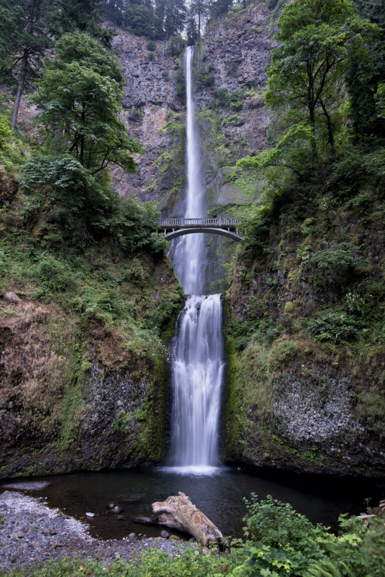
- Tallest drop 542 ft · 4 drops
- On Multnomah Creek
- 12 mi from Washougal
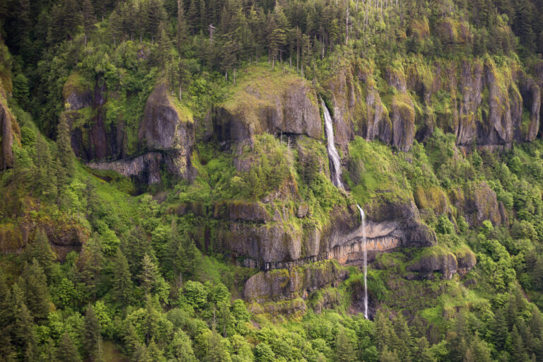
- Tallest drop 300 ft · 2 drops
- On Mist Creek
- 11 mi from Washougal
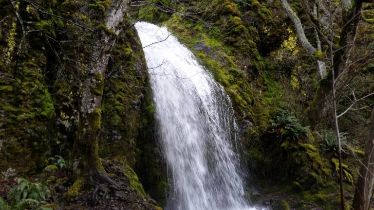
- Tallest drop 255 ft · 3 drops
- On Wonder Creek
- 6 mi from Carson
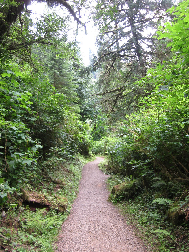
- Tallest drop 233 ft · 3 drops
- On Munson Creek
- 8 mi from Tillamook
- Tallest drop 260 ft · 3 drops
- On McCord Creek
- 6 mi from Cascade Locks
- Tallest drop 141 ft · 3 drops
- On Starvation Creek
- 7 mi from Carson
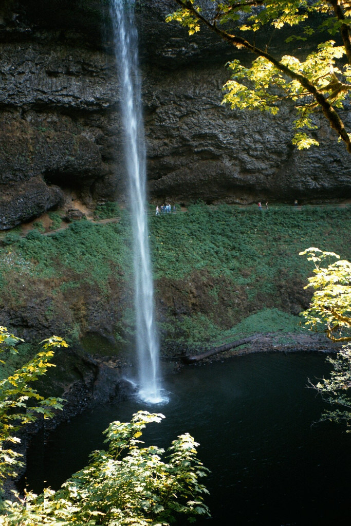
- Tallest drop 223 ft · 2 drops
- On Silver Creek
- 14 mi from Lakeside
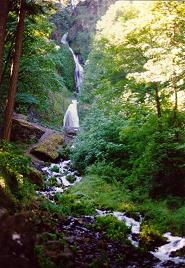
- Tallest drop 180 ft · 2 drops
- On Wahkeena Creek
- 11 mi from Washougal
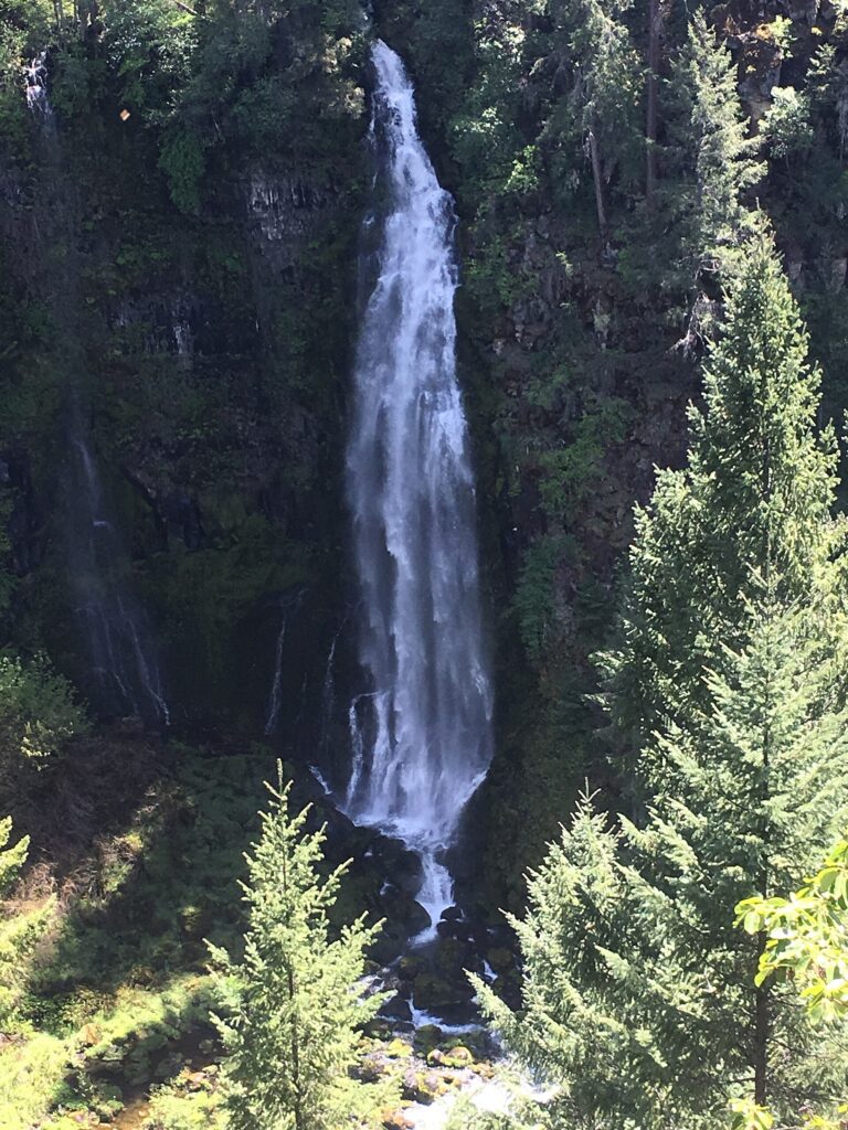
- Tallest drop 150 ft · 3 drops
- On Barr Creek
- 18 mi from Shady Cove
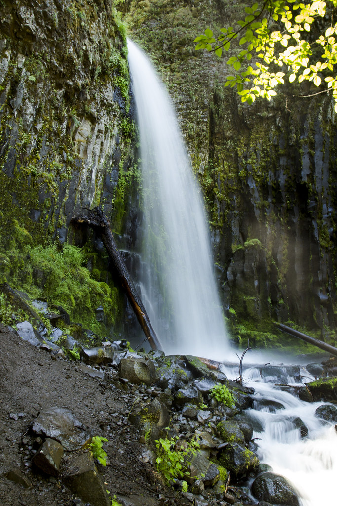
- Tallest drop 74 ft · 5 drops
- On Dry Creek
- 2 mi from Cascade Locks
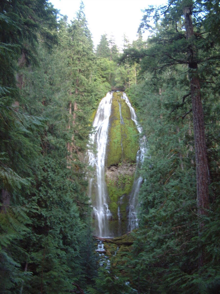
- On Proxy Creek
- 21 mi from Sisters
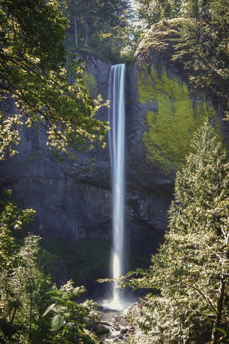
- On Latourell Creek
- 7 mi from Washougal
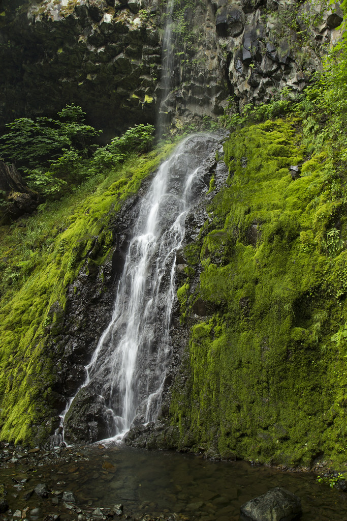
- Tallest drop 135 ft · 2 drops
- On Cabin Creek
- 7 mi from Carson
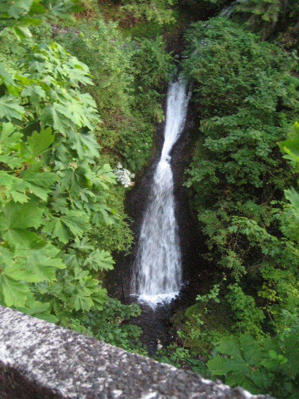
- Tallest drop 90 ft · 8 drops
- On Youngs Creek
- 8 mi from Washougal
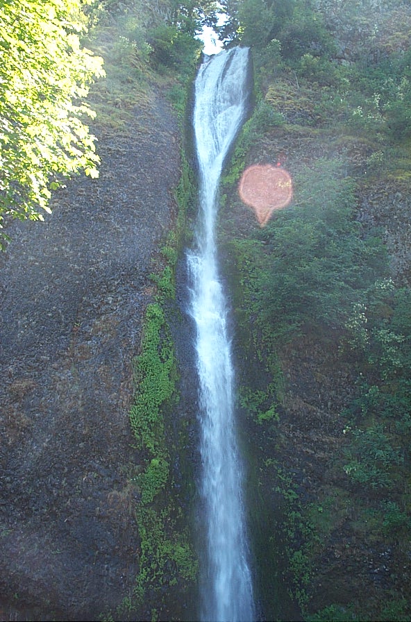
- On Horsetail Creek
- 10 mi from Cascade Locks

- On Phelps Creek
- 2 mi from Hood River
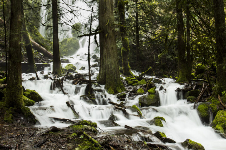
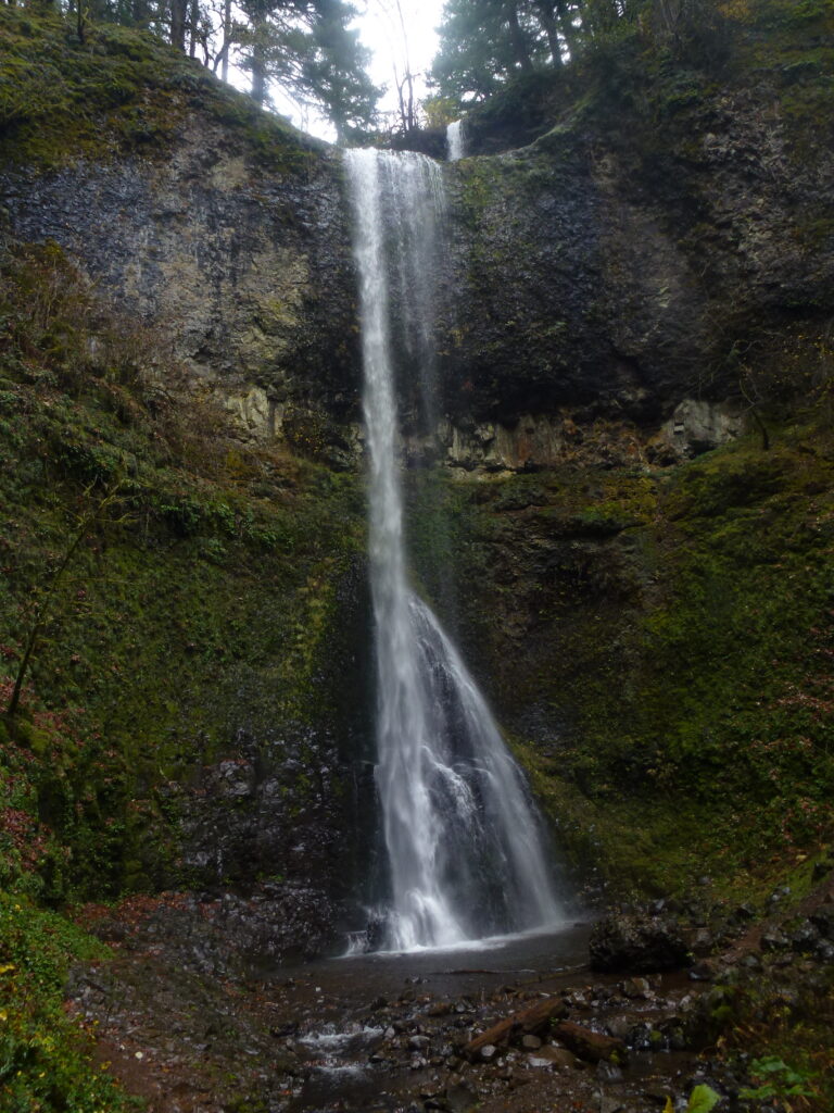
- Tallest drop 141 ft · 2 drops
- On Hullt Creek
- 8 mi from Lyons
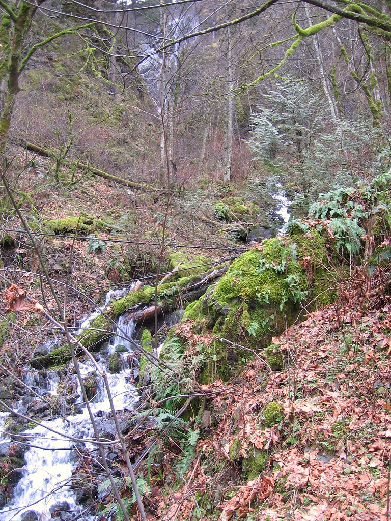
- Tallest drop 160 ft · 2 drops
- On Shady Creek
- 11 mi from Washougal
- Tallest drop 78 ft · 5 drops
- On Wolf Creek
- 10 mi from Glide
Oregon waterfalls: where to go and when
Oregon has more named waterfalls than almost any other state: 1,342 of them sit in 35 counties here, and waterfall surveyors have logged over 1,600 drops across the state. Two things make the numbers so high. Rain and snow fall heavily on the west side of the Cascades, and the rock underneath is layer after layer of hard basalt, which holds a lip and lets a stream drop cleanly instead of wearing the cliff back into a slope. Many of the best-known falls are a short walk from the car.
Where the waterfalls are
The Columbia River Gorge east of Portland is the densest waterfall country in the Northwest, with about 80 named falls. Ice Age floods cut the gorge walls so steeply that side creeks were left hanging high above the river, and on the Oregon side they now pour straight down the cliffs. The falls line the Historic Columbia River Highway in Multnomah County and continue east into Hood River County.
South of Salem, Silver Falls State Park packs ten falls into one canyon in Marion County. Further south the North Umpqua corridor along Highway 138 in Douglas County strings a dozen named falls along one road. In the Central Cascades, the McKenzie River falls in Linn County and the Willamette Pass falls in Lane County drop over young lava flows, and around Bend the Deschutes County falls sit in dry pine forest. The Coast Range, Mount Hood and Crater Lake add dozens more.
Waterfalls worth the trip
- Multnomah Falls, 632 feet in two tiers, is the one everyone knows. The Benson Bridge between the tiers is a short paved walk from the lodge; the viewpoint at the top is 2.4 miles round trip with 800 feet of climbing.
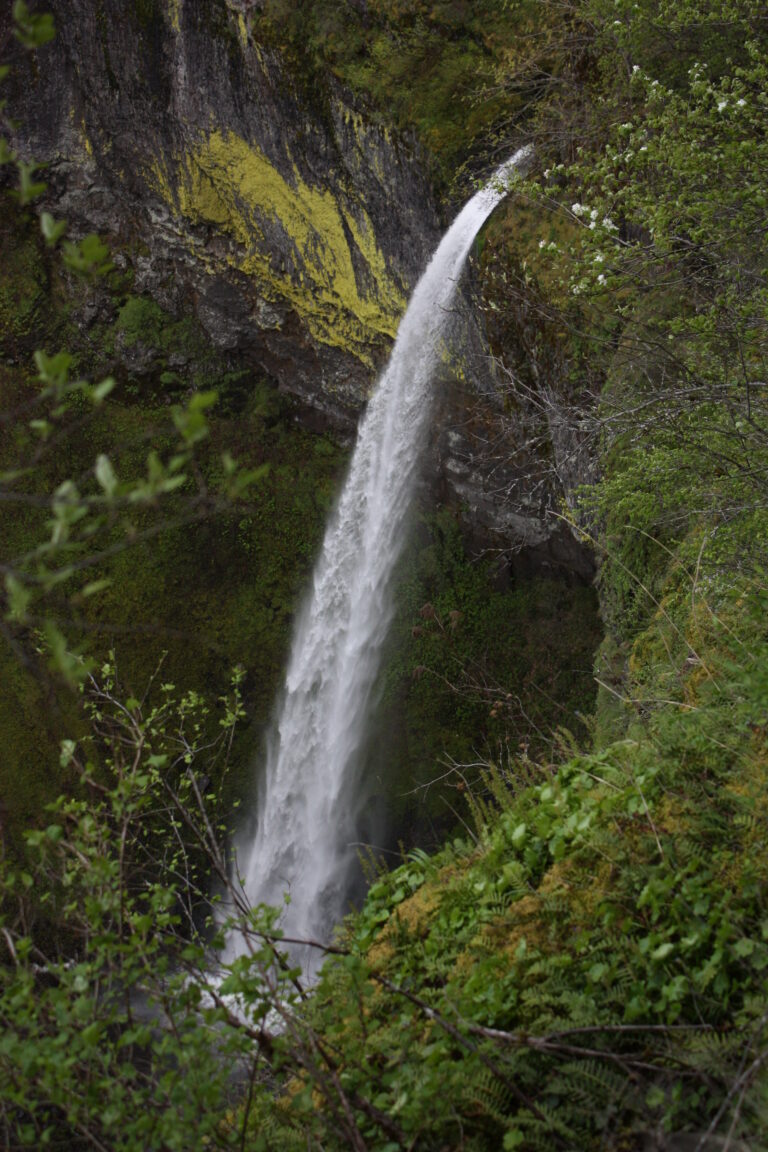
- Latourell Falls drops 224 feet over columnar basalt streaked with yellow-green lichen, a few minutes from the parking lot.
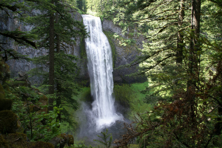
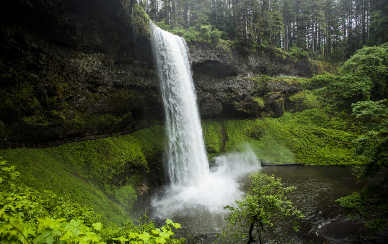
- South Falls is the centerpiece of Silver Falls. The Trail of Ten Falls loop is 7.2 miles and passes behind four of the falls.
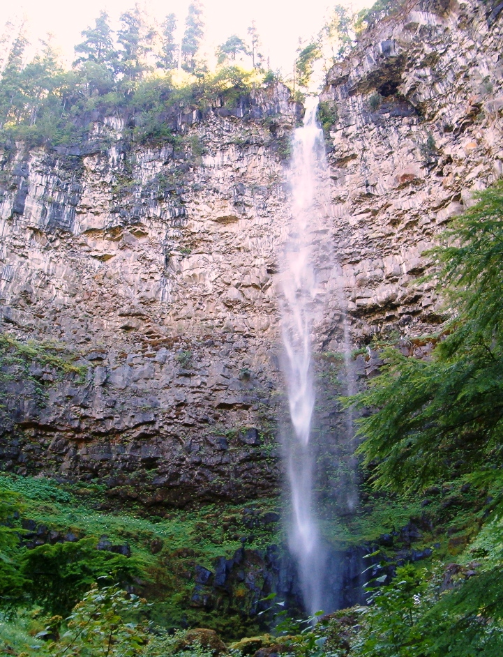
- Watson Falls, 293 feet, is the tallest on the North Umpqua and 0.4 mile from the road; Toketee Falls pours through a slot of basalt columns nearby.
- Salt Creek Falls plunges 286 feet into a basalt canyon, with a viewing platform steps from the parking lot on Highway 58.
- Sahalie Falls and Koosah Falls on the McKenzie are joined by a 2.6-mile loop and run full all year.
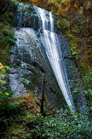
- Proxy Falls fans 226 feet down a mossy wall at the end of a 1.6-mile loop off the McKenzie Pass road.
- Tumalo Falls near Bend is visible from the parking area, with an upper overlook half a mile round trip.
When to go
West of the Cascades the falls are rain-fed and run strongest from November through May. By late summer the smaller Gorge and Silver Falls streams thin out, while Multnomah keeps flowing all year. Snow-fed Cascade falls peak later, in spring and early summer, and the spring-fed McKenzie falls hardly change. Winter closes some of the best approaches: the McKenzie Pass road to Proxy Falls is gated from early November to mid-June (it reopened on June 15 in 2026), Sahalie and Koosah have no plowed parking, and the high trails at Crater Lake, including the one to Plaikni Falls, usually hold snow into June.
Passes, permits and closures
Most falls are on national forest land, where trailheads such as Salt Creek, Proxy, Tumalo and Ramona charge $5 a day or take a Northwest Forest Pass ($30 a year). Oregon State Parks charge $10 a day for residents and $12 for visitors from out of state; the fee covers Silver Falls and, since March 30, 2026, the Latourell Falls parking area. From late May to early September, parking at the Multnomah Falls lot on I-84 needs a timed-use permit booked on Recreation.gov (in 2026 it ran May 22 to September 7), and riders on the Columbia Gorge Express are exempt. Watson, Toketee, Sahalie and Koosah are free.
Fire and storm damage still shape access. Trails burned in the 2017 Eagle Creek Fire and the 2020 Labor Day fires have reopened unevenly: the Henline Falls trail in the Santiam canyon was still closed in 2026, and December 2025 storms damaged trails around Eagle Creek, so check the Forest Service alerts for the Gorge before planning that hike.
Safety
Basalt ledges above Oregon falls are wet and slick all year, and the drops are long. In August 2026 a visitor died after climbing into a closed area above South Falls, and Silver Falls bans entering the water within 300 feet of most of its falls. Jumping into Punch Bowl Falls is prohibited after a fatal jump in 2013. Stay on the trail and behind the railings, especially in winter, when spray freezes on the paths.
Waterfalls in Oregon on the map
Numbers show how many sit in that area; zoom in or click to split them, click a marker for details.
Tallest waterfalls in Oregon
- Multnomah Falls632 ftMultnomah County
- Bench Canyon Falls600 ftUnion County
- Snailback Falls525 ftJosephine County
- Mist Falls520 ftMultnomah County
- Alkali Falls485 ftDouglas County
- Ice Falls480 ftWallowa County
- Linton Falls470 ftLane County
- Upper Big Alvord Creek Falls450 ftHarney County
- Lancaster Falls410 ftHood River County
- Grouse Mountain Falls400 ftLane County
Waterfalls by county
Oregon has named waterfalls in 35 counties. The most are in Lane County (163), Hood River County (133), Linn County (130), Clackamas County (117), Marion County (104), Douglas County (88). Every county has its own page with a map and the tallest falls:
- Baker County 12
- Benton County 6
- Clackamas County 117
- Clatsop County 21
- Columbia County 11
- Coos County 82
- Crook County 2
- Curry County 9
- Deschutes County 62
- Douglas County 88
- Gilliam County 2
- Grant County 5
- Harney County 16
- Hood River County 133
- Jackson County 17
- Jefferson County 18
- Josephine County 28
- Klamath County 29
- Lake County 4
- Lane County 163
- Lincoln County 16
- Linn County 130
- Malheur County 2
- Marion County 104
- Morrow County 4
- Multnomah County 71
- Polk County 28
- Sherman County 3
- Tillamook County 57
- Umatilla County 6
- Union County 7
- Wallowa County 38
- Wasco County 14
- Washington County 26
- Yamhill County 11
Types of waterfalls in Oregon
horsetail (103), plunge (102), tiered (75), cascade (43), segmented (27), veiling (24). What the types mean is explained in the guide to waterfall types.
About the data
Of the 1,342 waterfalls in Oregon, 577 have a measured height, 83 have coordinates verified against aerial imagery and 149 have photos. Heights are the total drop as recorded by the source; falls without a measurement are listed without one. Every page has the stream, the nearest town and distance, a map with directions and a review form for photos and notes.