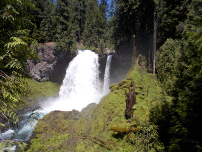
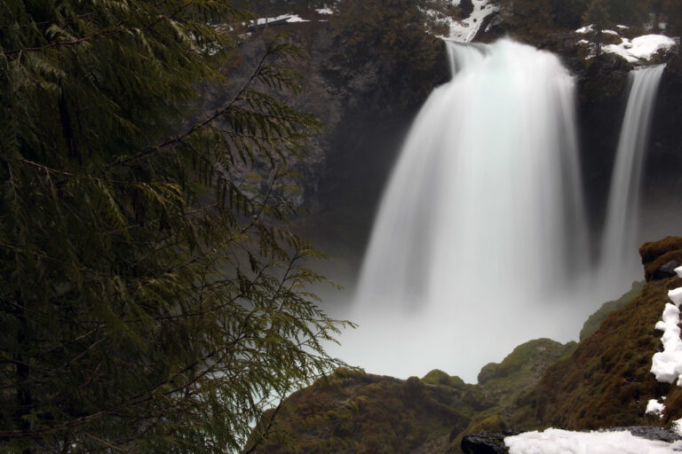
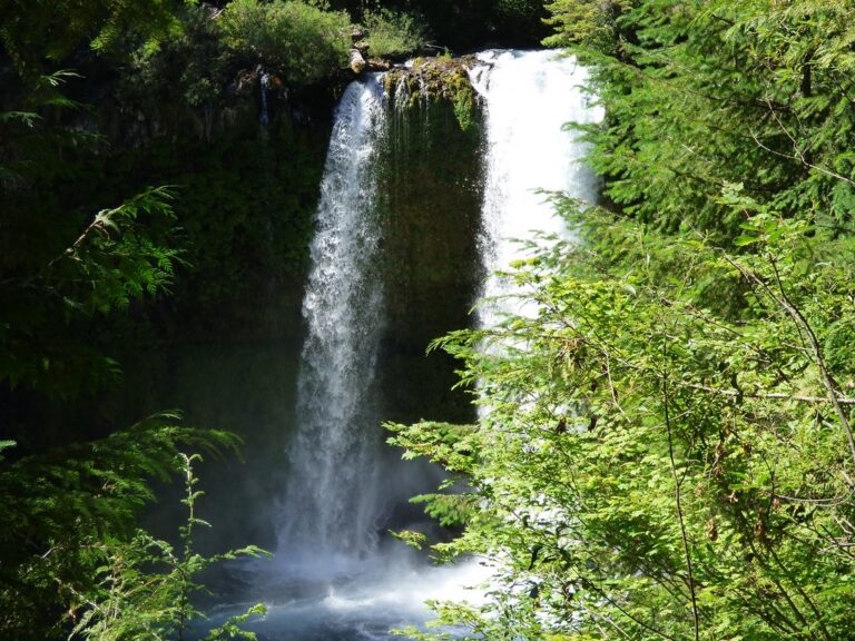
Along the McKenzie River in the Willamette National Forest, Sahalie Falls drops 73 feet as a segmented plunge in Linn County, Oregon. A short paved walkway connects the parking area to the falls, while a loop trail continues downstream toward Koosah Falls.
The falls
The McKenzie drops in one main plunge, with a smaller side segment that can dry up as the river recedes later in the season. Fed by Clear Lake and springs, the river flows all year at roughly 300 to 560 cubic feet per second. Repeated surveys measure 73 to 75 feet depending on the water level; older reports of 140 feet and a kayakers' 68-foot measurement are on record, and local materials show 100 feet. The cascade spills over basaltic-andesite lava flows roughly 3,000 years old, the same formation that dammed Clear Lake.
Getting there
The site is managed by the McKenzie River Ranger District. The parking lot sits off Highway 126, half a mile north of the Koosah Falls turnoff; parking along the highway shoulder is prohibited. From the lot, an easy paved path of about 200 feet leads to the viewpoint. The Waterfalls Loop Trail continues downstream to Koosah Falls and back, making an easy 2.6-mile circuit with about 400 feet of elevation gain. There is no entrance fee, and day use runs from 6 a.m. to 10 p.m.
When to go
Water flows through the main channel year-round. In winter the parking area is not plowed or cleared of snow and ice, with no maintained winter access point. Summer brings crowds; arriving before 9 a.m. helps secure parking, or visitors can try the Koosah Falls lot downstream.
On site
Amenities include developed viewpoints, vault toilets and picnic tables, but no drinking water. Dogs must remain on a leash of six feet or less. Cyclists using the east-side trail between the falls must dismount and walk their bicycles.
History and name
Originally known as Upper Falls, the drop received the name Sahalie in 1935, drawn from a Chinook Jargon term translated as "heaven" or "high."
Nearby
Koosah Falls, the lower end of the loop, is about 0.4 mile downstream. Tamolitch Falls, also on the McKenzie River, is about 2.9 miles away, and Deer Creek Falls about 6.8 miles.
Distances are straight-line.