Waterfalls in Virginia
127 waterfalls in Virginia across 39 counties, from the USGS dataset; 97 with a measured height. The tallest is Crabtree Falls at 1,080 ft. All US waterfalls.
State: Virginia 47
- Alabama 97
- Arizona 66
- Arkansas 280
- California 1,039
- Colorado 345
- Connecticut 79
- Florida 3
- Georgia 298
- Idaho 249
- Illinois 20
- Indiana 24
- Iowa 8
- Kansas 24
- Kentucky 65
- Louisiana 6
- Maine 175
- Maryland 13
- Massachusetts 37
- Michigan 294
- Minnesota 43
- Mississippi 8
- Missouri 11
- Montana 252
- Nebraska 14
- Nevada 25
- New Hampshire 264
- New Jersey 5
- New Mexico 20
- New York 879
- North Carolina 495
- North Dakota 1
- Ohio 26
- Oklahoma 30
- Oregon 1,342
- Pennsylvania 274
- Rhode Island 5
- South Carolina 22
- South Dakota 10
- Tennessee 427
- Texas 71
- Utah 76
- Vermont 229
- Virginia 127
- Washington 2,596
- West Virginia 13
- Wisconsin 83
- Wyoming 267
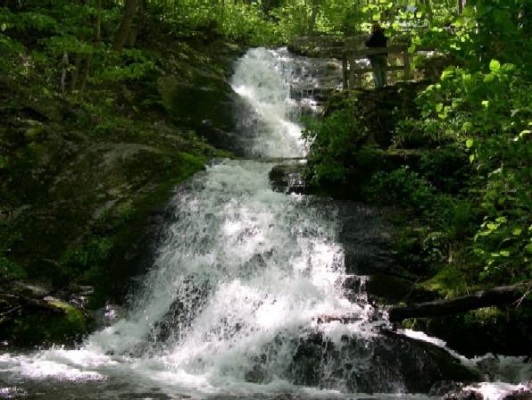
- Tallest drop 400 ft
- On Crabtree Creek
- 12 mi from Nellysford
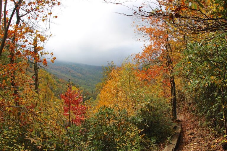
- 4 drops
- On Fallingwater Creek
- 6 mi from Buchanan
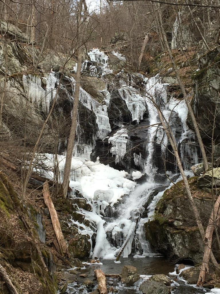
- Tallest drop 63 ft · 3 drops
- On Doyles River
- 8 mi from Grottoes

- Tallest drop 70 ft · 2 drops
- On Falling Spring Creek
- 6 mi from Covington
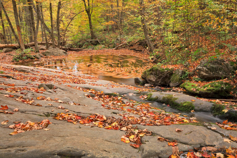
- Tallest drop 35 ft · 3 drops
- On Hogcamp Branch
- 6 mi from Stanley
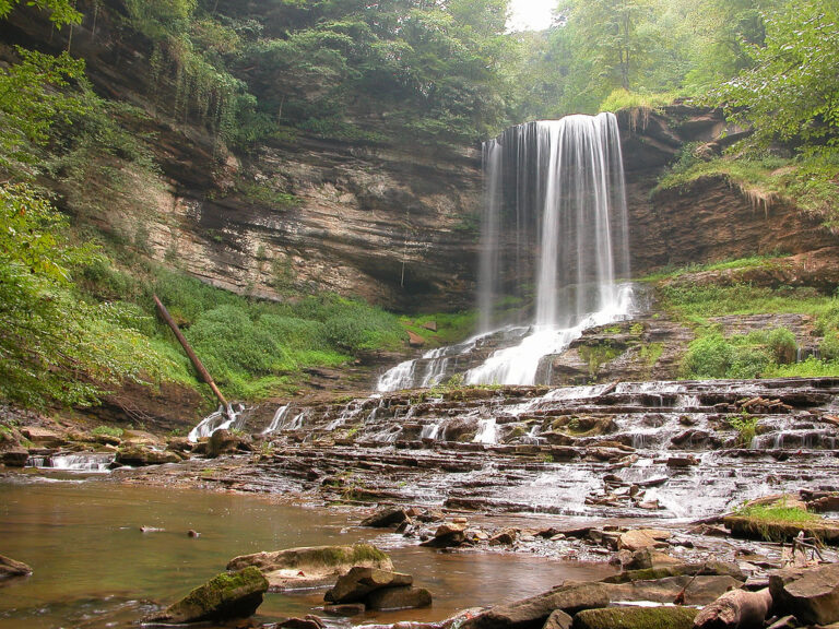
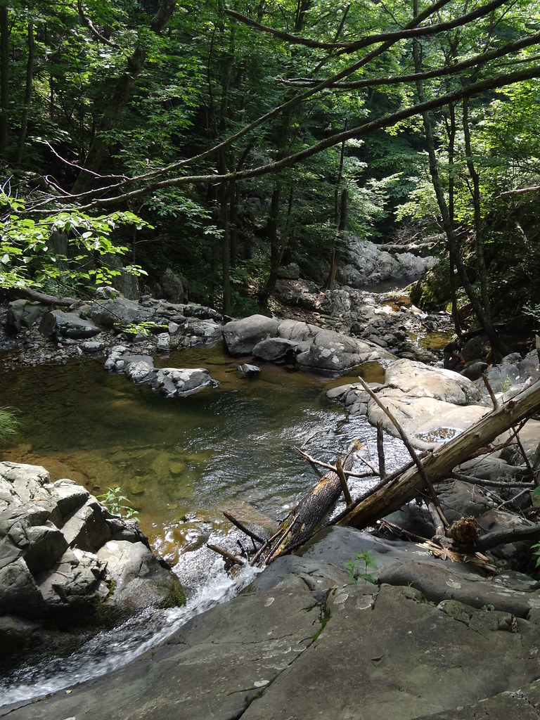
- Tallest drop 35 ft · 2 drops
- On Rose River
- 6 mi from Stanley
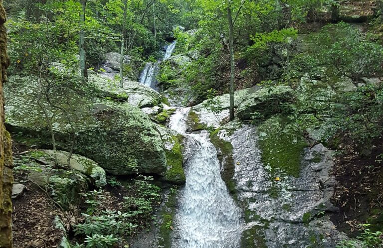
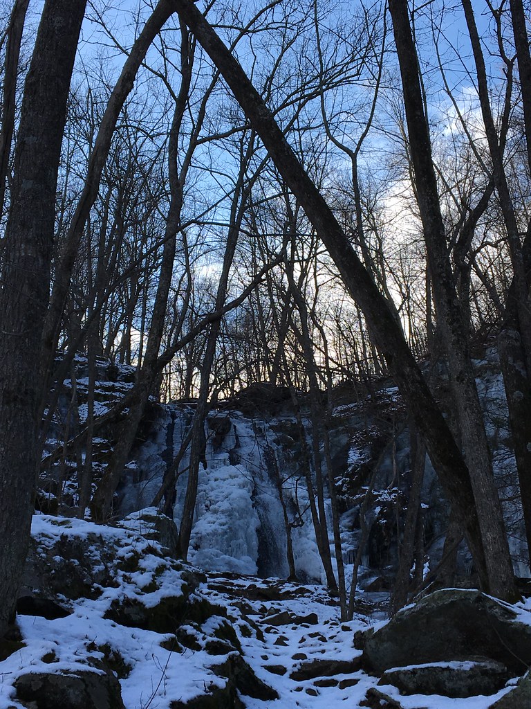
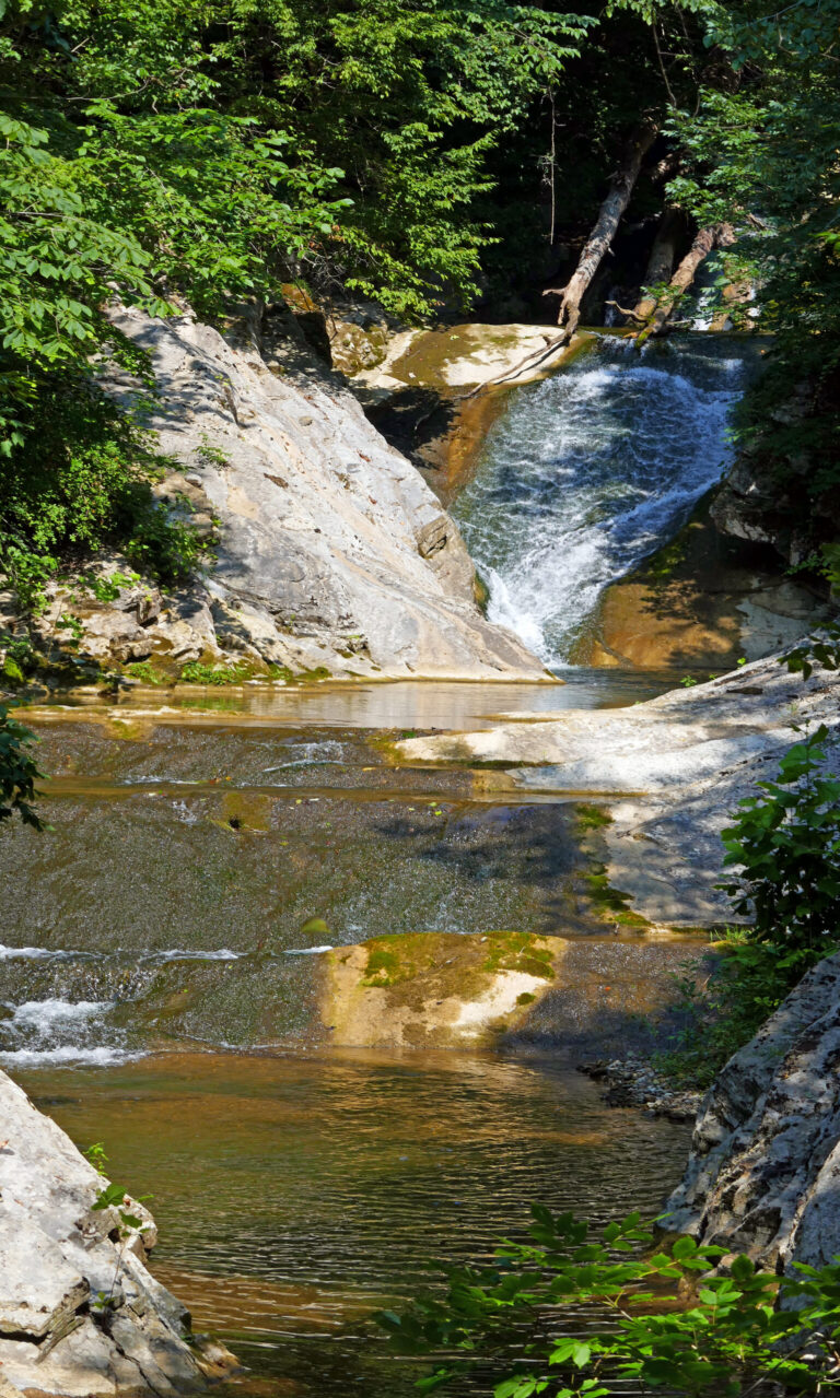
- 3 drops
- On Cedar Creek
- 6 mi from Glasgow
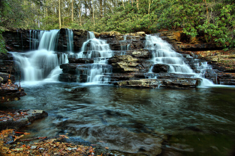
- Tallest drop 12 ft · 4 drops
- On Little Stony Creek
- 5 mi from Pembroke
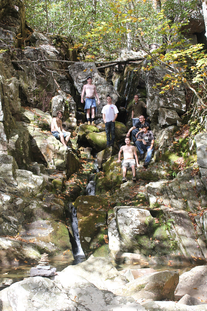
- On White Rock Creek
- 9 mi from Stuarts Draft

- On Barnard Creek
- 10 mi from Stuart
- On Camp Creek
- 6 mi from Shawsville
- Tallest drop 75 ft · 2 drops
- On Wolf Run
- 5 mi from Elkton
- On Meadow Creek
- 13 mi from Daleville
- Tallest drop 120 ft
- On Big Creek
- 8 mi from Stanley
- On Sheep Creek
- 5 mi from Buena Vista
- Tallest drop 86 ft · 8 drops
- On Whiteoak Run
- 8 mi from Stanley
- 8 mi from Buchanan
- On Davis Mill Creek
- 6 mi from Buena Vista
- On Lick Fork
- 8 mi from Shawsville
- Tallest drop 50 ft
- On Fall Run
- 5 mi from Shawnee Land
- Tallest drop 60 ft
- On Dry Run
- 5 mi from Elkton
Virginia's waterfalls, from the Blue Ridge crest to the coalfields
Virginia's waterfalls follow the state's climb from the Piedmont into three mountain belts. Streams crossing greenstone and metabasalt along the Blue Ridge crest drop off cliffs inside Shenandoah National Park, sandstone-capped hollows in the Ridge and Valley feed a second cluster around the George Washington and Jefferson National Forest, and folded rock on the Appalachian Plateau cuts a third cluster in the far southwest. In all, 127 named falls are recorded across 39 counties.
Where the waterfalls are
The Blue Ridge crest inside Shenandoah National Park holds the biggest share: Page County leads with eight listings around Hawksbill and Overall Run, Madison County has six along Hogcamp Branch and the Rose River, and Rappahannock, Warren and Greene counties add more toward the park's north and south ends. West of the ridge, Rockingham and Augusta counties carry falls on national forest land, and Albemarle County, just south of the park, has the Doyles River and Jones Run falls.
The Blue Ridge Parkway continues that ridge south through Nelson and Amherst counties, home to Crabtree Falls, before the mountains widen into the Ridge and Valley: Rockbridge County alone has ten listings, including Natural Bridge State Park, and Bath, Alleghany, Botetourt, Giles and Craig counties add falls around Douthat State Park and the New River.
Far to the southwest, the Appalachian Plateau and the Mount Rogers area hold a third cluster spread across Scott, Washington, Wise, Smyth, Wythe, Tazewell, Russell, Dickenson and Buchanan counties, with Grayson County adding falls toward the North Carolina line.
Northern Virginia's Arlington and Fairfax counties hold small falls on steep Potomac Gorge tributaries, and scattered piedmont drops reach as far as Halifax and Mecklenburg counties.
Waterfalls worth the trip
- Crabtree Falls, Virginia's tallest waterfall at 1,080 feet in a series of cascades — though the national forest gives the whole series as 1,200 feet — has a paved first overlook a short walk from the lot; climbing beside the rest of the falls to the top is a 3.1-mile round trip with about 1,076 feet of climbing.
- Dark Hollow Falls, 75 feet down Hogcamp Branch, is a 1.4-mile round trip with 440 feet of climbing from Skyline Drive.
- Rose River Falls drops 60 feet in two steps on a four-mile loop from the Fishers Gap parking area that climbs about 910 feet past additional cascades.
- Fallingwater Cascades steps 110 feet down four tiers among rock outcrops and rhododendron, a 1.6-mile loop off the Blue Ridge Parkway that descends about 260 feet to the base and back.
- Falling Spring Falls, 85 feet — though state signs give 80 — is seen from a paved roadside overlook on US 220; there's no trail to the base, and going past the overlook is not allowed.
- Lace Falls fans 40 feet over three steps on Cedar Creek in Natural Bridge State Park — though a park panel gives 50 — a 2-mile round trip partly paved with stairs.
- Abrams Falls, a 70-foot plunge outside Bristol, sits on land the county acquired after a long public effort; the approach off Abrams Falls Road is unmaintained, and the phone number posted at the roadside sign gives permission to hike in.
When to go
Blue Ridge and Ridge-and-Valley falls are rain- and snowmelt-fed and run strongest in spring; smaller falls in the Alleghany Highlands can nearly disappear by late summer without recent rain. Crabtree Falls keeps flowing year-round but runs heaviest after snowmelt, with color in the gorge come fall and ice on the upper steps in winter. Skyline Drive, the only route to the Dark Hollow and Rose River trailheads, can close without notice during severe weather.
Fees, permits and closures
Shenandoah National Park charges $30 per vehicle for seven days, $25 for a motorcycle and $15 on foot or bicycle in 2026, plus a $55 annual pass; entrance stations take no cash. The Blue Ridge Parkway, which reaches Fallingwater Cascades, charges no entrance fee. Virginia State Parks charge $7 a vehicle for day-use parking as of May 21, 2026; Natural Bridge State Park, home to Lace Falls, instead charges its own admission of $9 for visitors 13 and older and $6 for children 3 to 12. Crabtree Falls, on national forest land, charges $3 per vehicle per day, payable by card or cash, with America the Beautiful and the forest's seasonal day-use pass accepted.
Hurricane Helene's flooding in September 2024 tore up the Virginia Creeper Trail along Whitetop Laurel Creek in Washington County; the Forest Service closed the approach to Big Rock Falls there and has scheduled the trail's reconstruction to finish by March 31, 2027.
Safety
Algae coats the rocks above Crabtree Falls, and stepping off the trail there has proven fatal more than once; stay behind the railings and out of the water. A 20-year-old hiker died at Fallingwater Cascades in May 2016. Shenandoah National Park allows swimming in its streams, warns that the water stays cold through summer, and treats climbing on any waterfall as dangerous. The waiver for Abrams Falls' unmaintained approach, posted by the county, describes hazardous terrain, weather and potentially fatal falls.
Waterfalls in Virginia on the map
Numbers show how many sit in that area; zoom in or click to split them, click a marker for details.
Tallest waterfalls in Virginia
- Crabtree Falls1,080 ftNelson County
- Barnard Creek Falls380 ftPatrick County
- Bent Mountain Falls350 ftMontgomery County
- Cedar Falls230 ftRockingham County
- Meadow Creek Falls190 ftCraig County
- Big Creek Falls150 ftPage County
- Cypress Falls125 ftRockbridge County
- Fallingwater Cascades110 ftBotetourt County
- Whiteoak Canyon Falls108 ftMadison County
- Apple Orchard Falls100 ftBotetourt County
Waterfalls by county
Virginia has named waterfalls in 39 counties. The most are in Rockbridge County (10), Page County (8), Washington County (7), Scott County (7), Amherst County (7), Bath County (6). Every county has its own page with a map and the tallest falls:
- Albemarle County 4
- Alleghany County 2
- Amherst County 7
- Arlington County 3
- Augusta County 4
- Bath County 6
- Botetourt County 4
- Buchanan County 1
- Craig County 2
- Dickenson County 2
- Fairfax County 3
- Floyd County 2
- Franklin County 1
- Frederick County 1
- Giles County 4
- Grayson County 3
- Greene County 2
- Halifax County 1
- Lee County 1
- Lunenburg County 1
- Madison County 6
- Mecklenburg County 1
- Montgomery County 2
- Nelson County 4
- Norton city 1
- Page County 8
- Patrick County 3
- Rappahannock County 5
- Roanoke County 1
- Rockbridge County 10
- Rockingham County 3
- Russell County 2
- Scott County 7
- Smyth County 2
- Tazewell County 2
- Warren County 4
- Washington County 7
- Wise County 3
- Wythe County 2
Types of waterfalls in Virginia
tiered (61), cascade (11), block (8), plunge (5), horsetail (2), punchbowl (2). What the types mean is explained in the guide to waterfall types.
About the data
Of the 127 waterfalls in Virginia, 97 have a measured height, 65 have coordinates verified against aerial imagery and 12 have photos. Heights are the total drop as recorded by the source; falls without a measurement are listed without one. Every page has the stream, the nearest town and distance, a map with directions and a review form for photos and notes.
Find waterfalls near me · All US waterfalls
Sources
- en.wikipedia.org
- fs.usda.gov
- worldwaterfalldatabase.com
- nps.gov
- worldwaterfalldatabase.com
- nps.gov
- worldwaterfalldatabase.com
- home.nps.gov
- ksl.com
- worldwaterfalldatabase.com
- dcr.virginia.gov
- worldwaterfalldatabase.com
- virginia.org
- dcr.virginia.gov
- worldwaterfalldatabase.com
- washcova.com
- tehcc.org
- nps.gov
- home.nps.gov
- appalachiantrail.org
- nps.gov