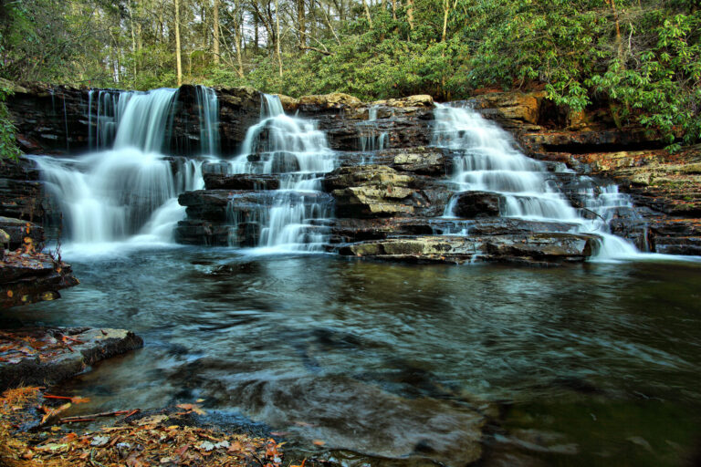
Upper Cascades is a 40-foot set of tiered cascades on Little Stony Creek in Giles County, Virginia, upstream of The Cascades in the Jefferson National Forest near Pembroke. It sits off the main Cascades loop and is reached by a short unmarked side path.
The falls
The World Waterfall Database describes the falls, also called Upper Falls, as steep tiered cascades: lidar data suggests four steps with a cumulative drop of about 40 feet, the tallest about 12 feet. Little Stony Creek cuts through the long forested ridges of the Ridge and Valley region here.
Getting there
Start at the Cascades Day Use Area, which charges a $3 day-use fee per vehicle. The route follows the lower trail to The Cascades at mile 2.15, climbs the wooden steps to the fire road toward the Conservancy Trail, then turns right on an unmarked path at mile 2.75 and switchbacks down to the upper falls at mile 2.85. This side path is a 0.1-mile spur off the Conservancy Trail with 93 feet of elevation change, rated intermediate.
When to go
Fall colors and wildflowers are among the trail's features. Seasonal flow at the upper falls isn't documented.
On site
The spur is downhill from the start, slippery and uneven with tree roots, through hemlock and laurel.
Nearby
Cascades, the main falls on the same creek, is about 0.3 miles downstream. Wylie Falls is about 16 miles away and Falls Hollow Falls about 18.9 miles.
Distances are straight-line.