Waterfalls in Maryland
13 waterfalls in Maryland across 6 counties, from the USGS dataset; 9 with a measured height. The tallest is Cunningham Falls at 70 ft. All US waterfalls.
State: Maryland 47
- Alabama 97
- Arizona 66
- Arkansas 280
- California 1,039
- Colorado 345
- Connecticut 79
- Florida 3
- Georgia 298
- Idaho 249
- Illinois 20
- Indiana 24
- Iowa 8
- Kansas 24
- Kentucky 65
- Louisiana 6
- Maine 175
- Maryland 13
- Massachusetts 37
- Michigan 294
- Minnesota 43
- Mississippi 8
- Missouri 11
- Montana 252
- Nebraska 14
- Nevada 25
- New Hampshire 264
- New Jersey 5
- New Mexico 20
- New York 879
- North Carolina 495
- North Dakota 1
- Ohio 26
- Oklahoma 30
- Oregon 1,342
- Pennsylvania 274
- Rhode Island 5
- South Carolina 22
- South Dakota 10
- Tennessee 427
- Texas 71
- Utah 76
- Vermont 229
- Virginia 127
- Washington 2,596
- West Virginia 13
- Wisconsin 83
- Wyoming 267
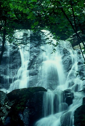
- On Big Hunting Creek
- 3 mi from Thurmont
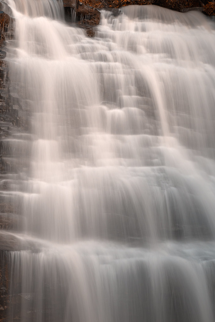
- On Muddy Creek
- 7 mi from Oakland

- On Youghiogheny River
- 6 mi from Oakland
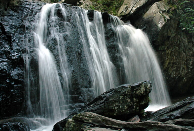
- On Falling Branch
- 6 mi from Susquehanna Trails
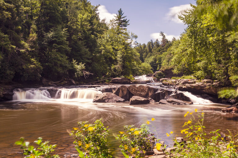
- On Youghiogheny River
- 6 mi from Oakland

- On North East Creek
- 3 mi from North East
- 2 drops
- On Toliver Run
- 6 mi from Oakland
- On Youghiogheny River
- 12 mi from Terra Alta
Where Maryland's rivers drop: Piedmont, Blue Ridge and the Alleghenies
Maryland's waterfalls follow its geology from west to east: the Appalachian Plateau in the Garrett County highlands, the Blue Ridge around Catoctin Mountain, and the Piedmont's harder rock northeast of Baltimore, before rivers reach the fall line and the coastal plain beyond, where the Potomac drops over its Great Falls. Thirteen named waterfalls turn up across the state, split among six counties.
Where the waterfalls are
Garrett County, on the Appalachian Plateau in the western panhandle, holds five listings clustered around the Youghiogheny River near Oakland: Muddy Creek Falls, Swallow Falls, Lower Swallow Falls, Toliver Falls and Gap Falls. Frederick County, in the Blue Ridge, has Cunningham Falls near Thurmont and The Cascade near Myersville. Cecil County and Harford County, both in the Piedmont northeast of Baltimore, each hold two: Amos and Gilpins Falls in Cecil, Kilgore and Wiley Falls in Harford. Baltimore County and Washington County each add one, Jones Falls and Falls Creek Falls.
Waterfalls worth the trip
- Cunningham Falls, 70 feet on Big Hunting Creek over metabasalt and greenstone, is a moderate 0.75-mile Cliff Trail climb or an easier 0.5-mile Lower Trail from the William Houck day-use area; a separate boardwalk beside Route 77 is wheelchair accessible.
- Muddy Creek Falls, 40 feet, plunges over sandstone onto softer shale in Swallow Falls State Park, on the same 1.25-mile Canyon Trail as its neighbors below.
- Swallow Falls, 16 feet on the Youghiogheny, and Lower Swallow Falls, a broader 4-foot ledge downstream, sit a short walk apart on that same trail through old-growth forest; a hiking guide gives Lower Swallow closer to 6 to 8 feet.
- Kilgore Falls, 15 feet on Falling Branch in Rocks State Park, is a single vertical drop; a half-mile singletrack trail crosses the stream to reach its base.
Fees, reservations and closures
Cunningham Falls' William Houck area charges $3 per Maryland resident and $5 per nonresident on summer weekdays, rising to $5/$7 on weekends and holidays, or $3/$5 per vehicle off-season; a 2026 DNR update added pay-at-the-gate technology without requiring advance booking. Swallow Falls State Park charges the same $3/$5 per-person rate on its busiest dates and introduced weekend and holiday timed reservations for 2026, bookable seven days ahead; pets are barred from the day-use area and Canyon Trail from May 23 to September 7, 2026. Kilgore Falls carries the same per-person fee and required weekend reservations from June 27 through Labor Day 2026; offsite parking and drop-offs aren't permitted.
Safety
Swimming is banned at Cunningham Falls, where DNR reports hundreds of slip-and-fall incidents on the trails and boardwalks. Kilgore Falls has no lifeguard, and the park discourages jumping after serious injuries; a hiker there needed a UTV evacuation to EMS in July 2025. Maryland State Police hoisted an injured visitor near Muddy Creek Falls to a hospital by helicopter in July 2026.
Waterfalls in Maryland on the map
Numbers show how many sit in that area; zoom in or click to split them, click a marker for details.
Tallest waterfalls in Maryland
- Cunningham Falls70 ftFrederick County
- Muddy Creek Falls40 ftGarrett County
- Cascade, The30 ftFrederick County
- Gilpins Falls25 ftCecil County
- Swallow Falls16 ftGarrett County
- Kilgore Falls15 ftHarford County
- Toliver Falls5 ftGarrett County
- Gap Falls4 ftGarrett County
- Lower Swallow Falls4 ftGarrett County
Waterfalls by county
Maryland has named waterfalls in 6 counties. The most are in Garrett County (5), Cecil County (2), Frederick County (2), Harford County (2), Washington County (1), Baltimore County (1). Every county has its own page with a map and the tallest falls:
- Baltimore County 1
- Cecil County 2
- Frederick County 2
- Garrett County 5
- Harford County 2
- Washington County 1
Types of waterfalls in Maryland
block (5), tiered (2), dam (1). What the types mean is explained in the guide to waterfall types.
About the data
Of the 13 waterfalls in Maryland, 9 have a measured height, 7 have coordinates verified against aerial imagery and 5 have photos. Heights are the total drop as recorded by the source; falls without a measurement are listed without one. Every page has the stream, the nearest town and distance, a map with directions and a review form for photos and notes.