Waterfalls in Indiana
24 waterfalls in Indiana across 11 counties, from the USGS dataset; 23 with a measured height. The tallest is Wallace Falls at 115 ft. All US waterfalls.
State: Indiana 47
- Alabama 97
- Arizona 66
- Arkansas 280
- California 1,039
- Colorado 345
- Connecticut 79
- Florida 3
- Georgia 298
- Idaho 249
- Illinois 20
- Indiana 24
- Iowa 8
- Kansas 24
- Kentucky 65
- Louisiana 6
- Maine 175
- Maryland 13
- Massachusetts 37
- Michigan 294
- Minnesota 43
- Mississippi 8
- Missouri 11
- Montana 252
- Nebraska 14
- Nevada 25
- New Hampshire 264
- New Jersey 5
- New Mexico 20
- New York 879
- North Carolina 495
- North Dakota 1
- Ohio 26
- Oklahoma 30
- Oregon 1,342
- Pennsylvania 274
- Rhode Island 5
- South Carolina 22
- South Dakota 10
- Tennessee 427
- Texas 71
- Utah 76
- Vermont 229
- Virginia 127
- Washington 2,596
- West Virginia 13
- Wisconsin 83
- Wyoming 267
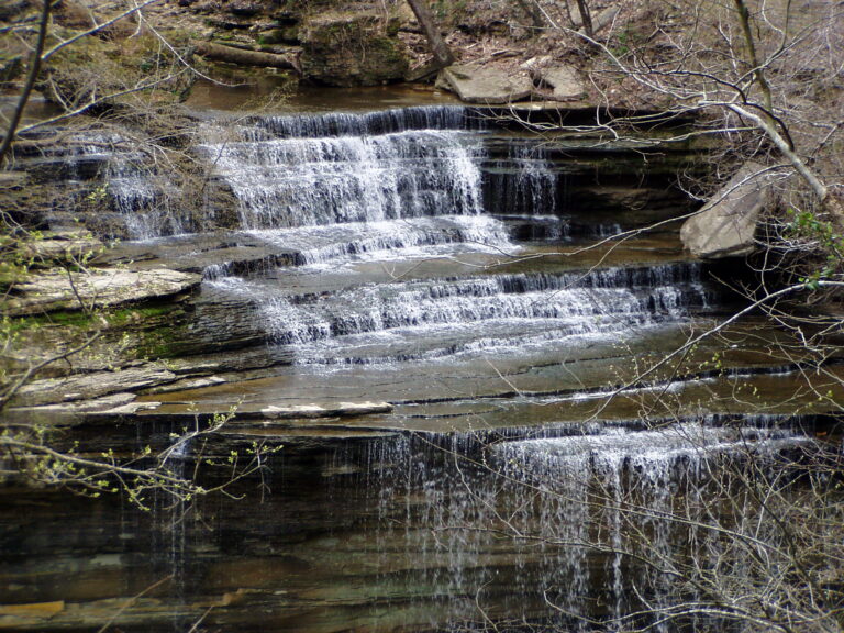
- On Big Clifty Creek
- 2 mi from North Madison
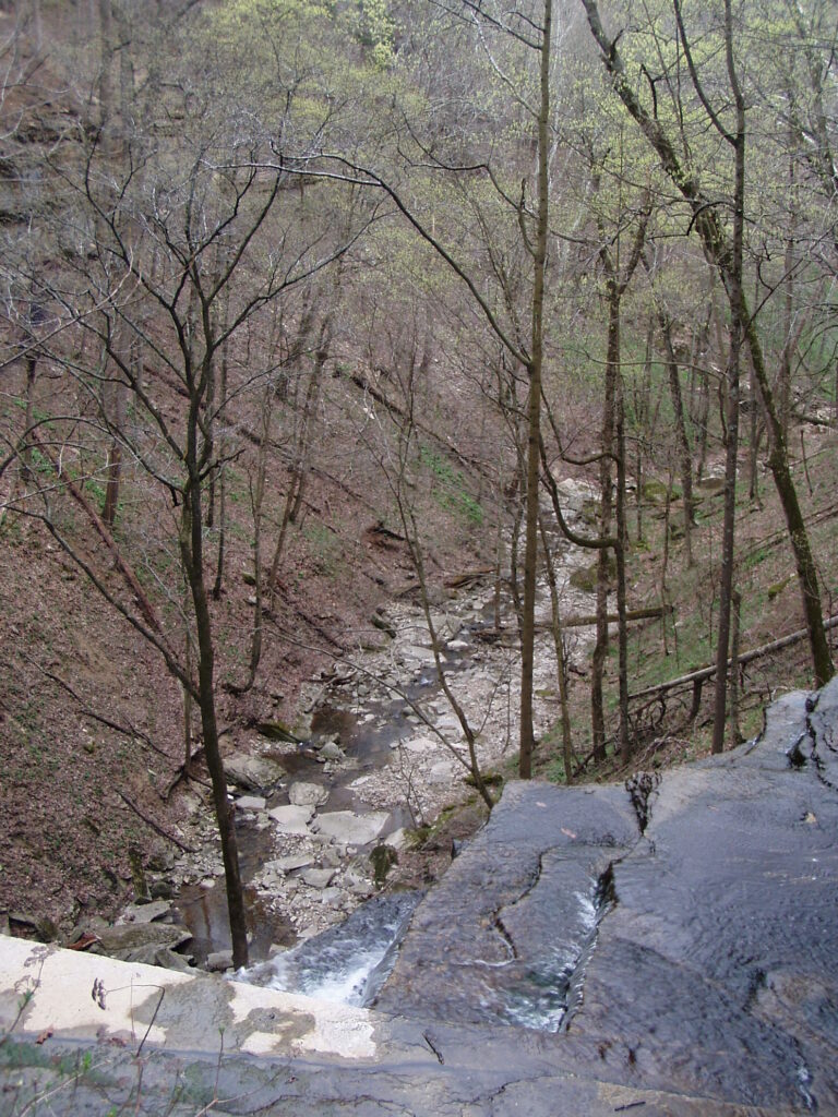
- On Little Clifty Creek
- 2 mi from North Madison
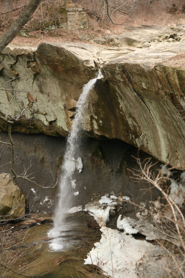
- Tallest drop 15 ft · 2 drops
- On Mill Creek
- 6 mi from Cloverdale

- On Deans Branch
- 2 mi from North Madison
- On Hoffman Creek
- 2 mi from North Madison
- On Harts Falls Creek
- 3 mi from Hanover
- On tributary of Happy Valley Creek
- 1 mi from Hanover
- 2 drops
- On East Fork White River
- 5 mi from Loogootee
Indiana's waterfalls, cut into limestone bluffs and creek beds
Indiana's glaciers stopped short of its southern third, leaving Mississippian- and Devonian-age limestone and sandstone exposed rather than buried under drift, and it's there that nearly all of the state's 24 named waterfalls drop. Half of them cluster in a single county, above the Ohio River bluffs at Madison.
Where the waterfalls are
Jefferson County holds 12 listings around Clifty Falls State Park, where Clifty Creek's bed exposes fossil corals, brachiopods and ancestral squid from an ancient seafloor. Owen County has 2, Upper and Lower Cataract Falls, dropping over bedrock ridges of Ste. Genevieve Limestone in the Cagles Mill Lake recreation area; Putnam County also has 2, on Falls Branch and Little Walnut Creek near Greencastle. Single listings round out Bartholomew, Cass, Franklin, Martin, Parke, Wabash, Warren and Wayne counties.
Waterfalls worth the trip
- Clifty Falls, 70 feet, is seen from a marked overlook, the only sanctioned view, since the ground above and below it stays off limits.
- Little Clifty Falls, 60 feet, is a short walk from Trail 7, a rocky route through the same park.
- Upper Cataract Falls, 30 feet, sits beside a historic covered bridge in the Cagles Mill Lake recreation area, where swimming is banned along the whole creek.
- Williamsport Falls, 55 feet, drops over sandstone a short walk from downtown Williamsport and often runs dry between rains.
- Anderson Falls, 14 feet, is a free Bartholomew County park with about two miles of trails past limestone outcrops, on land the Nature Conservancy donated in 1981.
- Hindostan Falls, a low ledge on the East Fork White River, is a drive-up spot with boat ramps on both sides, at the site of a town wiped out by illness in 1828.
When to go
Clifty Falls runs fullest after wet weather in winter and spring, thinning to mist in drier stretches. Williamsport Falls often dries up completely and freezes over in winter, running best after rain or snowmelt. Anderson Falls and Hindostan Falls both depend on recent rainfall and water level rather than a fixed season.
Fees and closures
Indiana's state parks and recreation areas, including Clifty Falls State Park and the Cagles Mill Lake/Lieber/Cataract Falls area, charge $7 per Indiana-registered vehicle, $15 for an out-of-state vehicle, or $2 per pedestrian or cyclist age 5 and up in 2026; annual passes are accepted. Clifty Falls State Park keeps Brough's Tunnel closed indefinitely for rockfall risk, though Trail 5 stays open, and fossil collecting is banned throughout the park. Anderson Falls, Hindostan Falls and Williamsport Falls charge no admission.
Safety
Cagles Mill Lake's Cataract Falls SRA bans swimming anywhere along the creek and waterfalls; a 13-year-old was airlifted after a fall left them trapped below a cliff at Upper Cataract Falls. Clifty Falls State Park keeps the ground above and below every waterfall off limits at all times, with only the marked overlook and trails open. High water can submerge the ledge entirely at Hindostan Falls.
Waterfalls in Indiana on the map
Numbers show how many sit in that area; zoom in or click to split them, click a marker for details.
Tallest waterfalls in Indiana
- Wallace Falls115 ftJefferson County
- Fremont Falls102 ftJefferson County
- Chain Mill Falls95 ftJefferson County
- Tunnel Falls83 ftJefferson County
- Butler Falls80 ftJefferson County
- Hoffman Falls78 ftJefferson County
- Harts Falls75 ftJefferson County
- Clifty Falls70 ftJefferson County
- Horseshoe Falls60 ftJefferson County
- Little Clifty Falls60 ftJefferson County
Waterfalls by county
Indiana has named waterfalls in 11 counties. The most are in Jefferson County (12), Putnam County (2), Owen County (2), Bartholomew County (1), Warren County (1), Wayne County (1). Every county has its own page with a map and the tallest falls:
- Bartholomew County 1
- Cass County 1
- Franklin County 1
- Jefferson County 12
- Martin County 1
- Owen County 2
- Parke County 1
- Putnam County 2
- Wabash County 1
- Warren County 1
- Wayne County 1
Types of waterfalls in Indiana
plunge (6), block (3), tiered (3), cascade (2), fan (1). What the types mean is explained in the guide to waterfall types.
About the data
Of the 24 waterfalls in Indiana, 23 have a measured height, 3 have coordinates verified against aerial imagery and 6 have photos. Heights are the total drop as recorded by the source; falls without a measurement are listed without one. Every page has the stream, the nearest town and distance, a map with directions and a review form for photos and notes.