Waterfalls in Wyoming
267 waterfalls in Wyoming across 11 counties, from the USGS dataset; 249 with a measured height. The tallest is Upper Sweetwater Creek Falls at 945 ft. All US waterfalls.
State: Wyoming 47
- Alabama 97
- Arizona 66
- Arkansas 280
- California 1,039
- Colorado 345
- Connecticut 79
- Florida 3
- Georgia 298
- Idaho 249
- Illinois 20
- Indiana 24
- Iowa 8
- Kansas 24
- Kentucky 65
- Louisiana 6
- Maine 175
- Maryland 13
- Massachusetts 37
- Michigan 294
- Minnesota 43
- Mississippi 8
- Missouri 11
- Montana 252
- Nebraska 14
- Nevada 25
- New Hampshire 264
- New Jersey 5
- New Mexico 20
- New York 879
- North Carolina 495
- North Dakota 1
- Ohio 26
- Oklahoma 30
- Oregon 1,342
- Pennsylvania 274
- Rhode Island 5
- South Carolina 22
- South Dakota 10
- Tennessee 427
- Texas 71
- Utah 76
- Vermont 229
- Virginia 127
- Washington 2,596
- West Virginia 13
- Wisconsin 83
- Wyoming 267
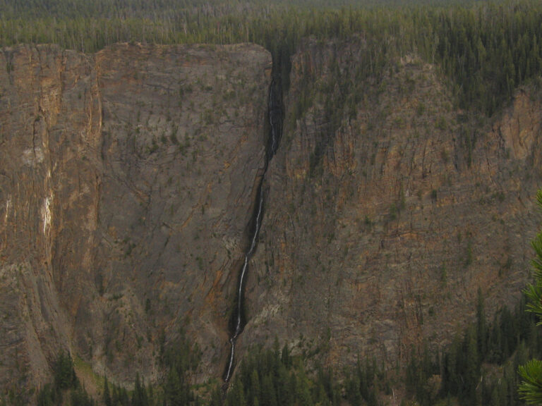
- 4 drops
- On Surface Creek
- 32 mi from West Yellowstone
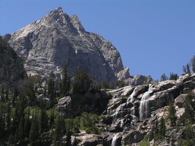
- 2 drops
- On Taggart Creek
- 13 mi from Moose Wilson Road
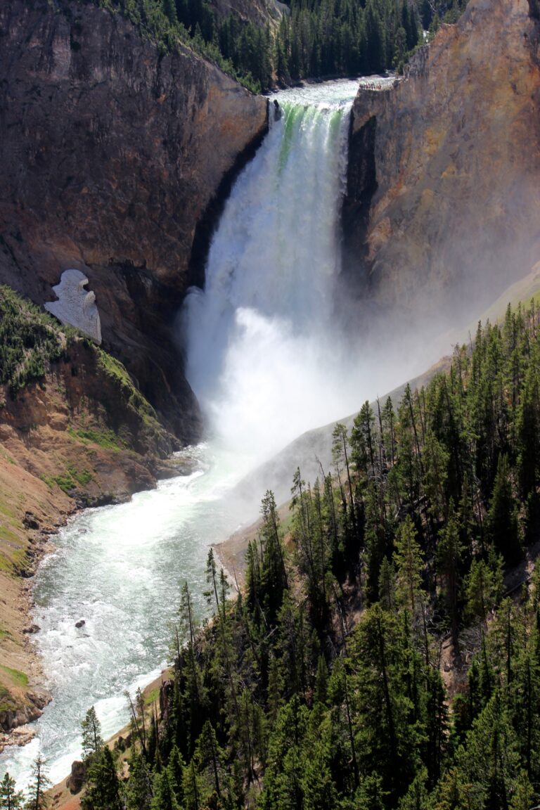
- On Yellowstone River
- 30 mi from West Yellowstone
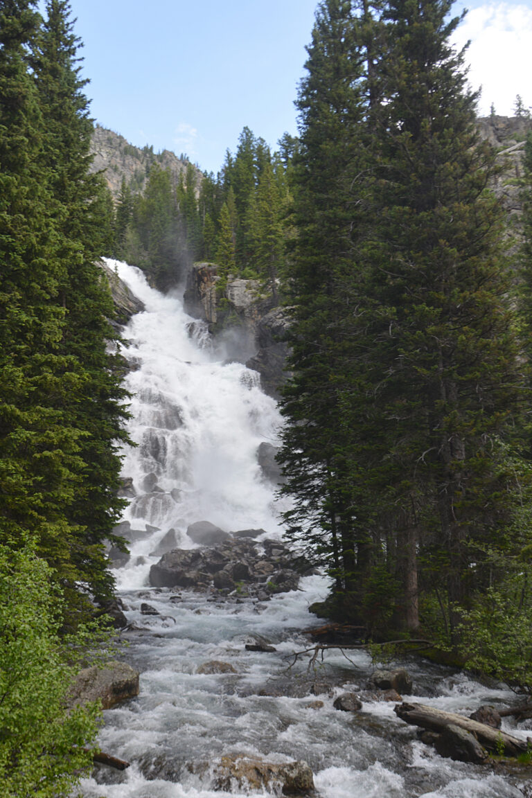
- On Cascade Creek
- 17 mi from Moose Wilson Road
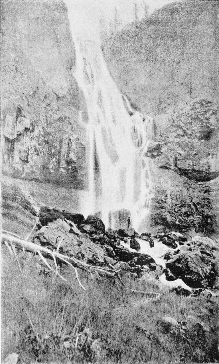
- On Gardner River
- 28 mi from West Yellowstone
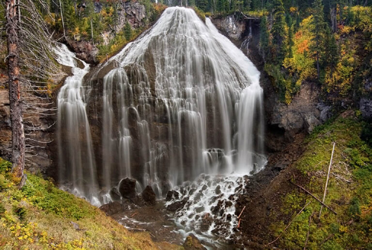
- On Mountain Ash Creek
- 30 mi from Ashton
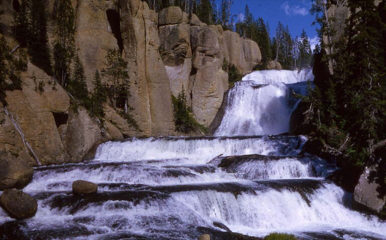
- Tallest drop 50 ft · 5 drops
- On Fall River
- 29 mi from Ashton
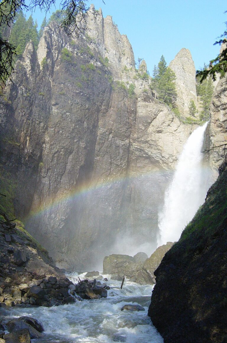
- On Tower Creek
- 39 mi from West Yellowstone
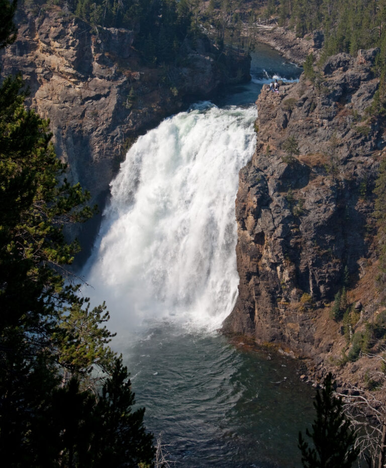
- On Yellowstone River
- 30 mi from West Yellowstone
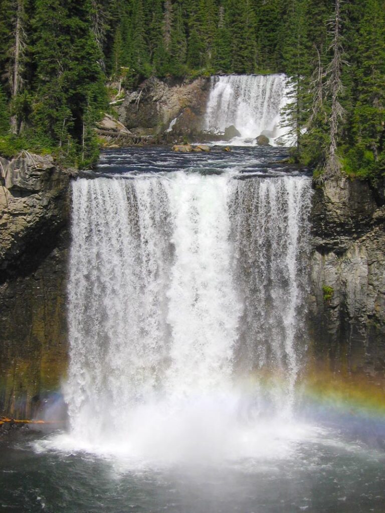
- Tallest drop 67 ft · 2 drops
- On Bechler River
- 27 mi from Ashton
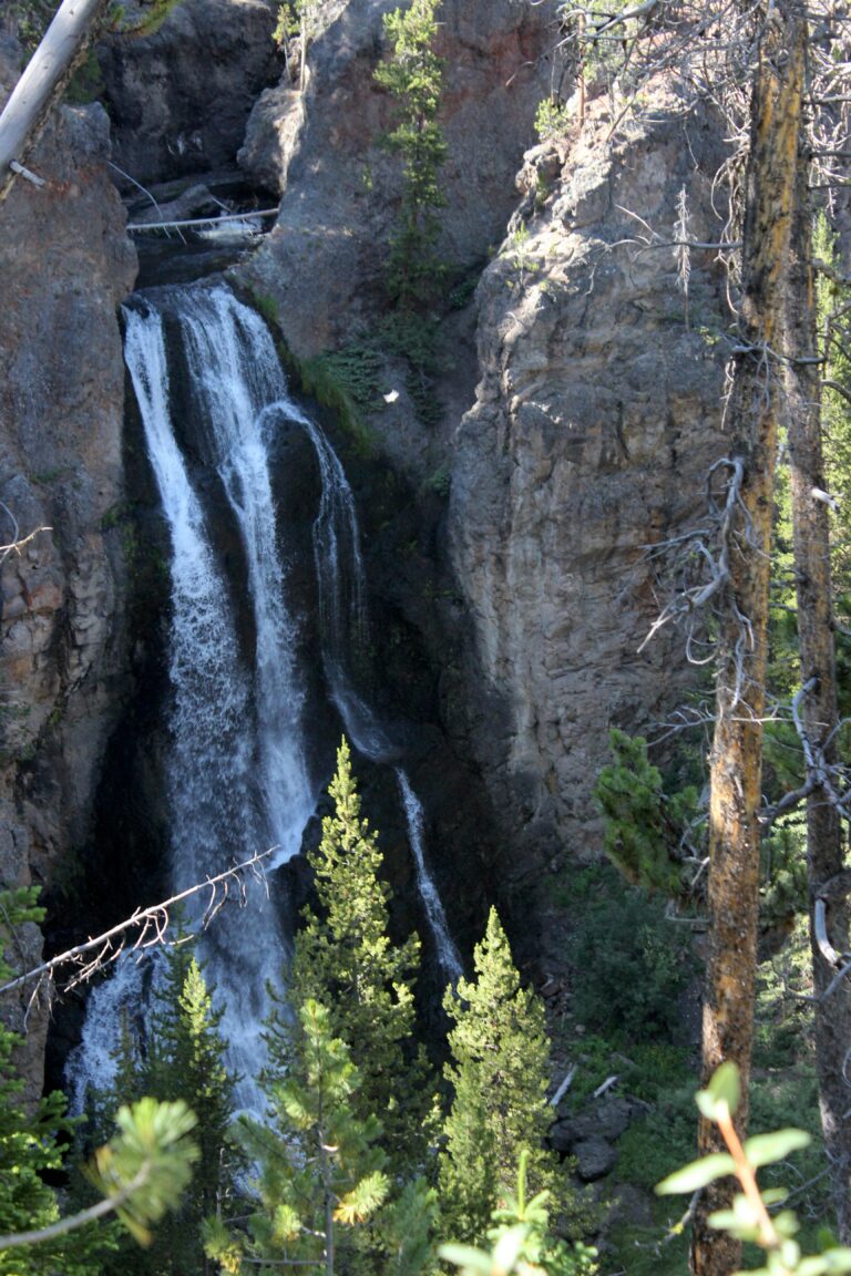
- On Cascade Creek
- 30 mi from West Yellowstone
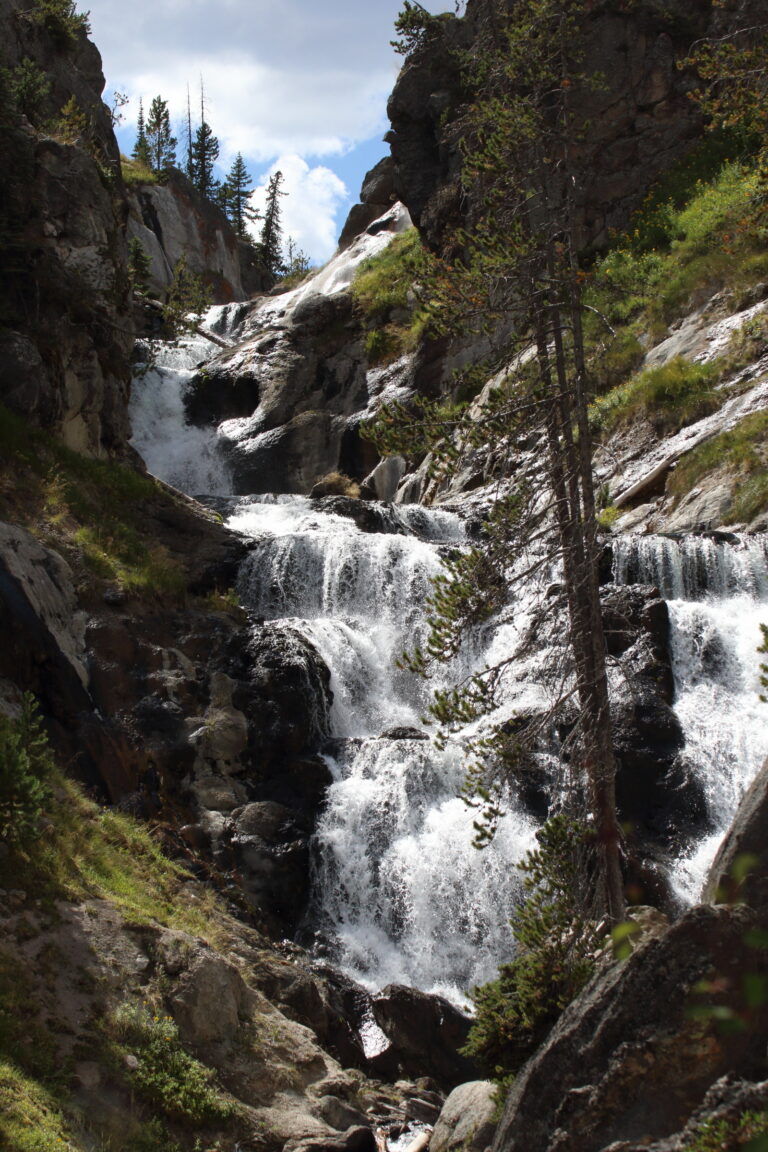
- Tallest drop 36 ft · 4 drops
- On Little Firehole River
- 17 mi from West Yellowstone
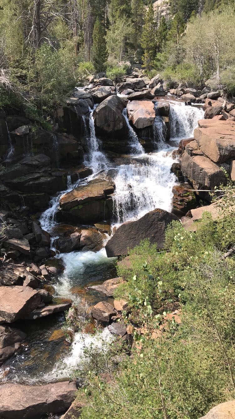
- On Middle Fork Popo Agie River
- 11 mi from Lander
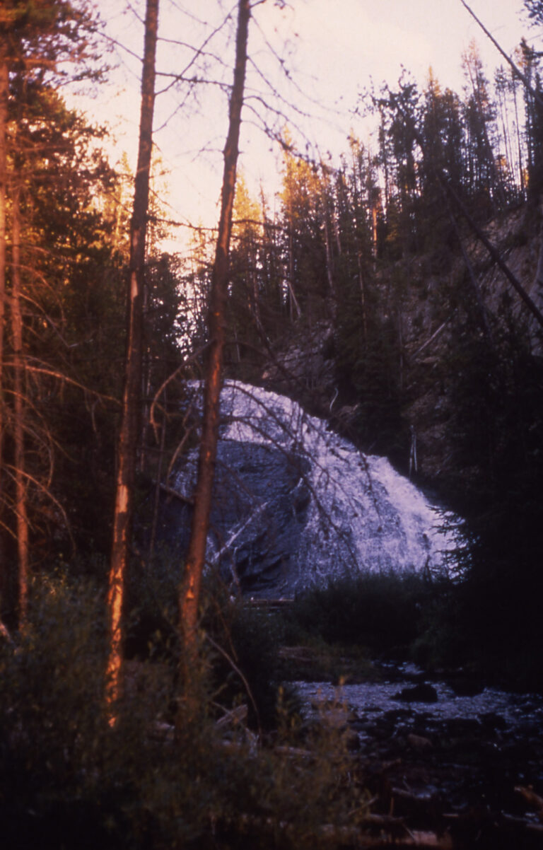
- On Gibbon River
- 23 mi from West Yellowstone
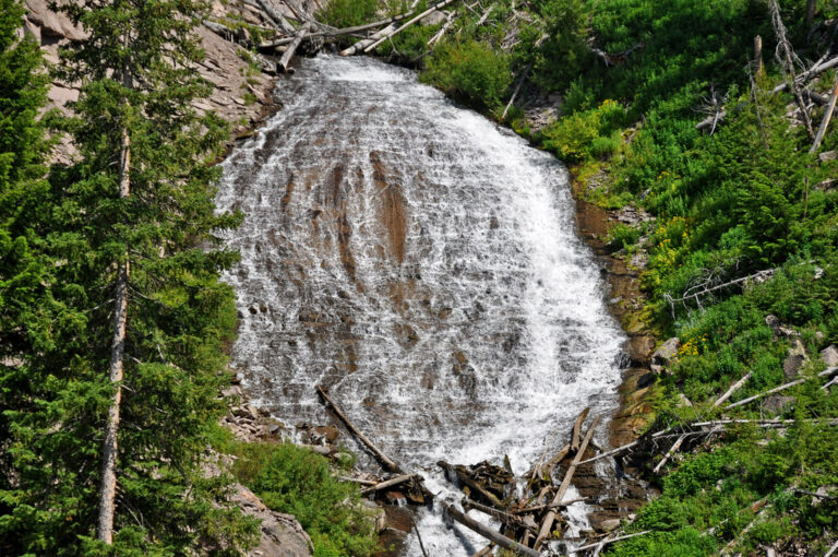
- On Lupine Creek
- 30 mi from West Yellowstone
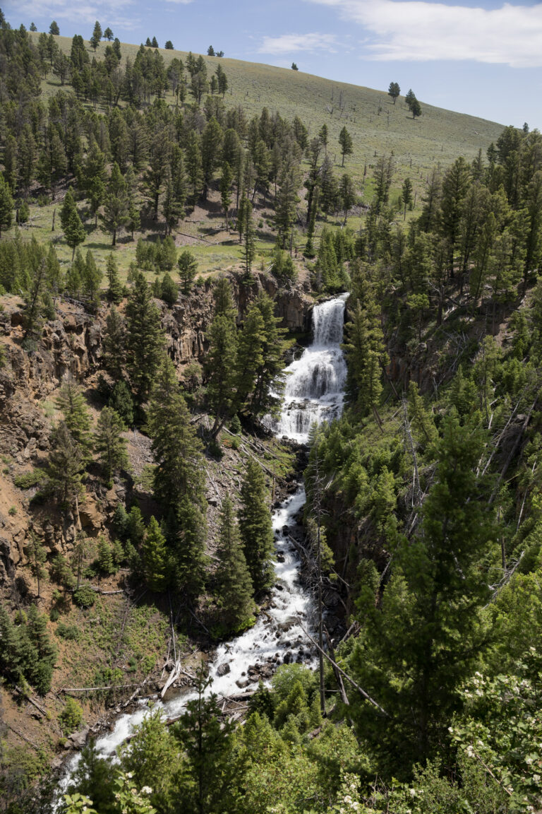
- Tallest drop 26 ft · 3 drops
- On Lava Creek
- 30 mi from West Yellowstone

- On Gibbon River
- 16 mi from West Yellowstone
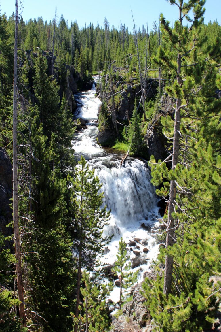
- Tallest drop 25 ft · 4 drops
- On Firehole River
- 21 mi from West Yellowstone
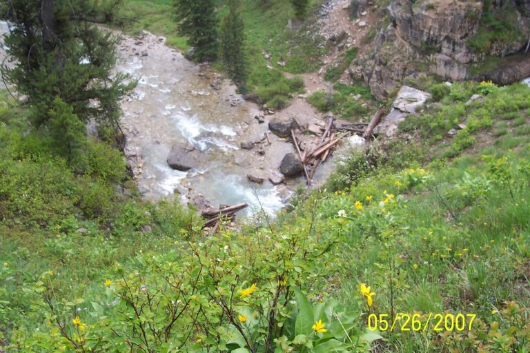
- On Granite Creek
- 18 mi from Jackson
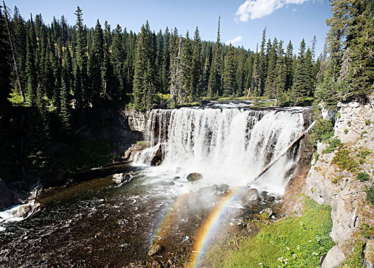
- On Bechler River
- 28 mi from Ashton
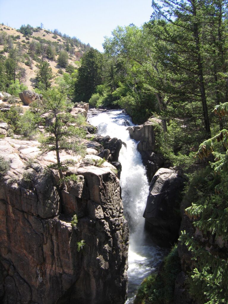
- On Shell Creek
- 23 mi from Greybull
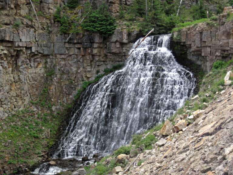
- On Glen Creek
- 27 mi from West Yellowstone
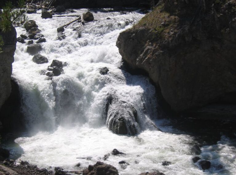
- On Firehole River
- 12 mi from West Yellowstone
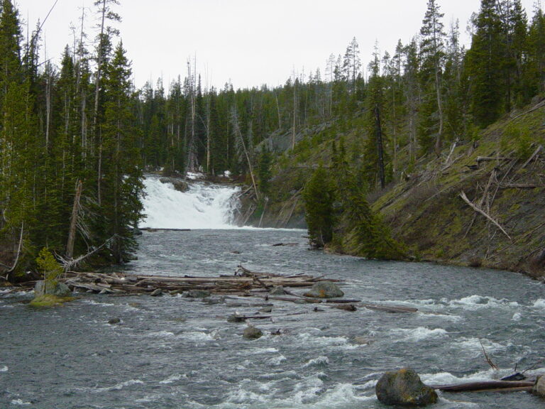
- On Lewis River
- 36 mi from West Yellowstone
Wyoming's waterfalls, from Yellowstone's canyon to the Wind River Range
Nearly nine of every ten of Wyoming's 267 named waterfalls sit in the two counties around Yellowstone and Grand Teton national parks, and each park was built by a different force. Yellowstone's plateau rose from repeated rhyolite lava flows after a supereruption about 631,000 years ago, and the Yellowstone River has since cut a canyon through rock that hot water weakened into the yellow and orange walls the park is named for. The Teton Range broke upward along a single fault six to nine million years ago, the youngest range in the Rockies, while the granite of the Wind River Range, over a billion years old, was carved into cirques and alpine lakes by later glaciers. Waterfalls collect wherever a stream drops off the edge of one of these landscapes.
Where the waterfalls are
Teton County and Park County between them hold 235 of the state's listings, split across Grand Teton National Park and the north and west sides of Yellowstone. East of the Tetons, the granite peaks of the Wind River Range spread across Fremont County and Sublette County. In north-central Wyoming, Big Horn County holds a small cluster in the Bighorn Mountains. The rest of the state adds single listings in Converse, Lincoln, Natrona, Albany, Platte and Sheridan counties.
Waterfalls worth the trip
- Lower Yellowstone Falls, 308 feet on the Yellowstone River, is reached by a steep 0.7-mile round trip that descends 600 feet to the brink. Upper Yellowstone Falls, 109 feet just upstream, drops from the same canyon rim, and together the two open the Grand Canyon of the Yellowstone.
- Tower Fall, 111 feet past a row of eroded volcanic pinnacles, is a short walk from its own parking area on the Tower-Canyon road.
- Undine Falls, 69 feet in three plunges on Lava Creek, is visible right from a roadside pullout between Mammoth and Tower.
- Osprey Falls, 177 feet on the Gardner River, sits at the bottom of an 8-mile round trip that descends about 700 feet into Sheepeater Canyon.
- Silver Cord Cascade, about 520 feet in four leaps into the canyon, was long billed at 1,200 feet before a lidar survey showed the true height; it is seen from across the canyon on the Seven Mile Hole Trail.
- Hidden Falls, 185 feet on Cascade Creek above Jenny Lake in Grand Teton National Park, is a 1-mile round trip with 300 feet of climbing from the west boat dock, reached by a shuttle-boat ride across the lake.
- Union Falls, about 147 feet on Mountain Ash Creek in Yellowstone's remote Bechler region, takes an 8-mile hike each way and a ford of the Falls River to reach.
- Popo Agie Falls, 75 feet on the Middle Fork Popo Agie River, is a 1.5-mile walk from the Bruce parking area next to Sinks Canyon State Park, where the river itself disappears underground and resurfaces in a pool downstream.
When to go
Yellowstone's high-plateau falls are fed by snowmelt and run strongest through June, then thin by late summer, a pattern Osprey Falls and Silver Cord Cascade both follow closely. The North Entrance road between Gardiner and Cooke City is Yellowstone's only route open to cars year-round; the park's other roads open between April 17 and May 22 and close by the end of October in 2026, and the Jenny Lake shuttle to Hidden Falls runs May 15 through September 30. The ford on the Union Falls trail often runs too high to cross safely before mid-July.
Fees, shuttles and closures
Yellowstone and Grand Teton each charge $35 per vehicle for seven days, $30 per motorcycle or $20 per pedestrian or cyclist in 2026, plus $100 per non-US resident age 16 or older; the parks share no combined pass, so a trip through both means paying twice. The Jenny Lake shuttle to Hidden Falls runs every 10 to 15 minutes from the East Boat Dock, no reservation needed. Sinks Canyon State Park, by Popo Agie Falls, charges Wyoming's standard state-park rate of $7 a vehicle for residents and $12 for non-residents. Camping in the Bechler backcountry for an overnight trip to Union Falls needs a permit at $5 per person a night plus a $10 reservation fee; day hikes need none.
The June 2022 flood still shapes Yellowstone's northern corner. The bridge to Rescue Creek Trailhead, off the North Entrance Road, washed out and has not been replaced, a Blacktail Creek bridge abutment is failing, and the Lava Creek Trail near Undine Falls now dead-ends at a missing bridge over the Gardner River.
Safety
The trails to Osprey Falls and Union Falls cross grizzly country, and rangers advise hiking in groups of three or more, carrying bear spray and staying 100 yards from any bear. The ford on the Union Falls trail runs cold, swift and about 40 feet wide in early summer, and a diving injury at a nearby spring-fed pool once required a helicopter evacuation. Silver Cord Cascade's rim above Ribbon Lake drops nearly 1,000 feet, unfenced; stay well back from any canyon edge in the park, especially near spray-slicked rock.
Waterfalls in Wyoming on the map
Numbers show how many sit in that area; zoom in or click to split them, click a marker for details.
Tallest waterfalls in Wyoming
- Upper Sweetwater Creek Falls945 ftPark County
- Rapunzel Falls560 ftPark County
- Fall Creek Falls550 ftPark County
- Silver Cord Cascade520 ftPark County
- Ribbon Cascade400 ftTeton County
- Big Creek Falls360 ftPark County
- Ferry Lake Falls355 ftFremont County
- Spring Creek Falls335 ftPark County
- Shoshoko Falls310 ftTeton County
- Lower Yellowstone Falls308 ftPark County
Waterfalls by county
Wyoming has named waterfalls in 11 counties. The most are in Teton County (121), Park County (114), Fremont County (8), Sublette County (8), Big Horn County (5), Lincoln County (3). Every county has its own page with a map and the tallest falls:
- Albany County 1
- Big Horn County 5
- Converse County 3
- Fremont County 8
- Lincoln County 3
- Natrona County 2
- Park County 114
- Platte County 1
- Sheridan County 1
- Sublette County 8
- Teton County 121
Types of waterfalls in Wyoming
tiered (79), cascade (42), plunge (32), fan (13), block (13), segmented (12). What the types mean is explained in the guide to waterfall types.
About the data
Of the 267 waterfalls in Wyoming, 249 have a measured height, 144 have coordinates verified against aerial imagery and 27 have photos. Heights are the total drop as recorded by the source; falls without a measurement are listed without one. Every page has the stream, the nearest town and distance, a map with directions and a review form for photos and notes.