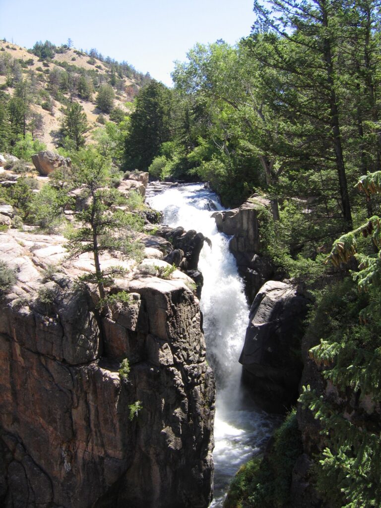
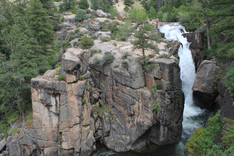
In Shell Canyon within Bighorn National Forest, Shell Falls drops about 40 feet as a plunge waterfall on Shell Creek in Big Horn County, Wyoming. The overlook along the Bighorn Scenic Byway is closed for all of 2026.
The falls
Shell Creek drops in a single plunge. Lidar measurements place the drop at roughly 40 feet; earlier surveys listed 75 feet, and regional accounts give 120 feet. The creek averages about 315 cubic feet per second during its three-month high-water season and about 53 the rest of the year. The canyon walls show Cambrian Flathead Sandstone, about 550 million years old, resting on Precambrian basement rock some 2.9 billion years old.
Getting there
The site is on US 14, the Bighorn Scenic Byway, a few miles upstream from the town of Shell and east of Greybull. A Forest Service order closes the trails, viewing areas, buildings and parking lot through 2026 while failed power and waste systems are replaced with a solar array, a new septic system and water upgrades. Entering past the gate is illegal, and parking on the highway shoulder or blocking the gate is prohibited.
When to go
No reopening date is set. The repair contract was expected by the end of June 2026, and federal project records show a planned finish of November 14, 2027.
On site
When open, the site features a visitor center, an interpretive trail and viewpoints over the falls. The overlook also takes in Copmans Tomb, a limestone formation to the north. Visitors have been using unofficial paths into the closed area; stay out until the site reopens.
History and name
Shell Canyon takes its name from the fossil shells in its sedimentary walls.
Nearby
East Fork Falls is about 20.1 miles away, Five Springs Falls about 23 miles and Porcupine Falls about 23.8 miles. Greybull, the nearest town, is about 22.8 miles away.
Distances are straight-line.