Waterfalls in Washington
2,596 waterfalls in Washington across 35 counties, from the USGS dataset; 1,529 with a measured height. The tallest is Falls Creek Falls at 2,715 ft. All US waterfalls.
State: Washington 47
- Alabama 97
- Arizona 66
- Arkansas 280
- California 1,039
- Colorado 345
- Connecticut 79
- Florida 3
- Georgia 298
- Idaho 249
- Illinois 20
- Indiana 24
- Iowa 8
- Kansas 24
- Kentucky 65
- Louisiana 6
- Maine 175
- Maryland 13
- Massachusetts 37
- Michigan 294
- Minnesota 43
- Mississippi 8
- Missouri 11
- Montana 252
- Nebraska 14
- Nevada 25
- New Hampshire 264
- New Jersey 5
- New Mexico 20
- New York 879
- North Carolina 495
- North Dakota 1
- Ohio 26
- Oklahoma 30
- Oregon 1,342
- Pennsylvania 274
- Rhode Island 5
- South Carolina 22
- South Dakota 10
- Tennessee 427
- Texas 71
- Utah 76
- Vermont 229
- Virginia 127
- Washington 2,596
- West Virginia 13
- Wisconsin 83
- Wyoming 267
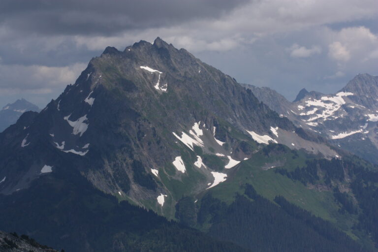
- Tallest drop 800 ft · 5 drops
- 28 mi from Darrington
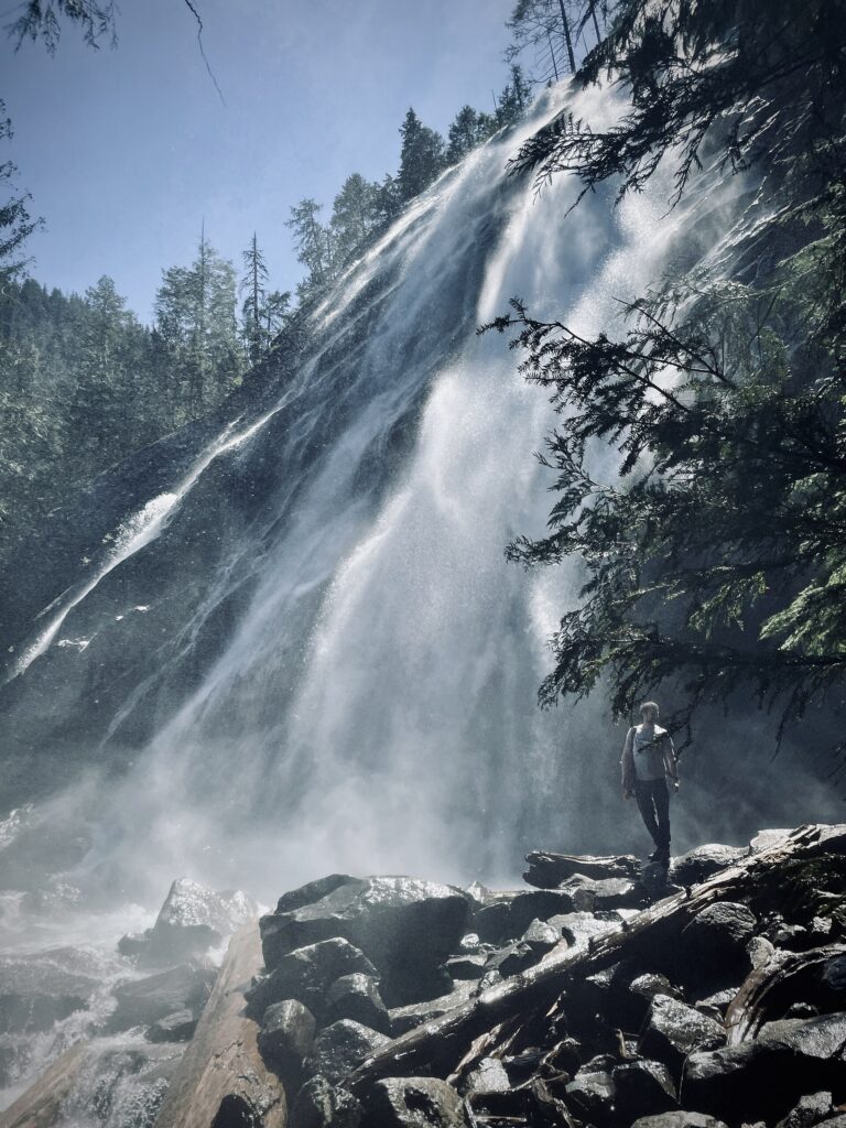
- Tallest drop 322 ft · 7 drops
- On Bridal Veil Creek
- 8 mi from Gold Bar
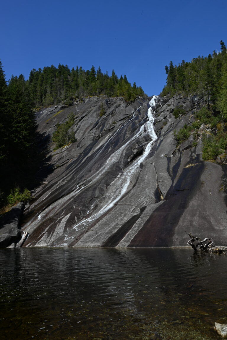
- Tallest drop 505 ft
- On Otter Creek
- 15 mi from Tanner
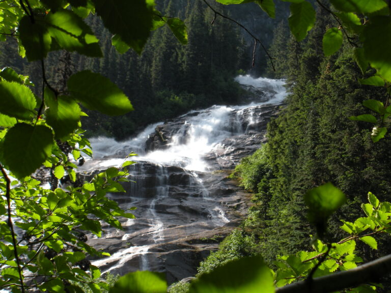
- On Depot Creek
- 39 mi from Peaceful Valley
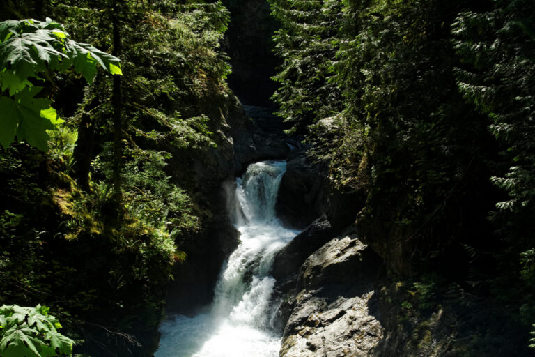
- Tallest drop 275 ft · 7 drops
- On Lookout Creek
- 13 mi from Peaceful Valley
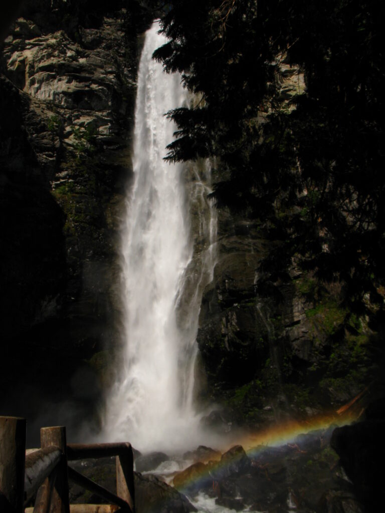
- Tallest drop 320 ft · 6 drops
- On Rainbow Creek
- 39 mi from Granite Falls
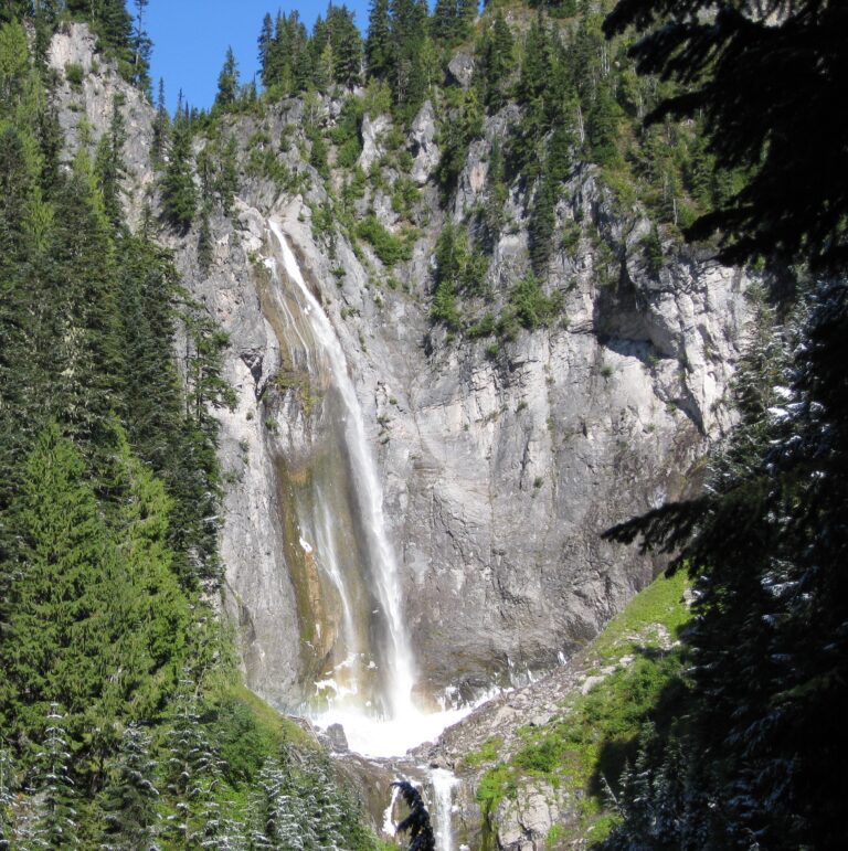
- Tallest drop 301 ft · 4 drops
- On Van Trump Creek
- 24 mi from Eatonville
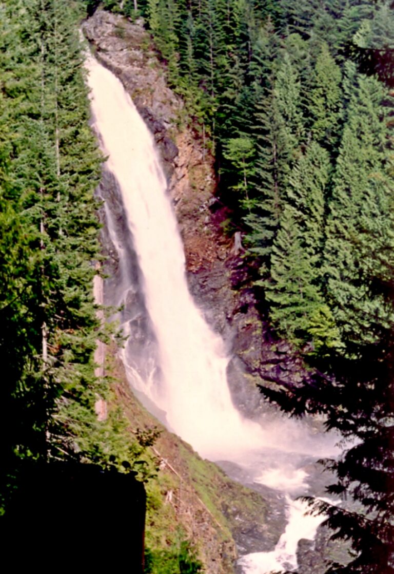
- Tallest drop 265 ft · 4 drops
- On Wallace River
- 3 mi from Gold Bar
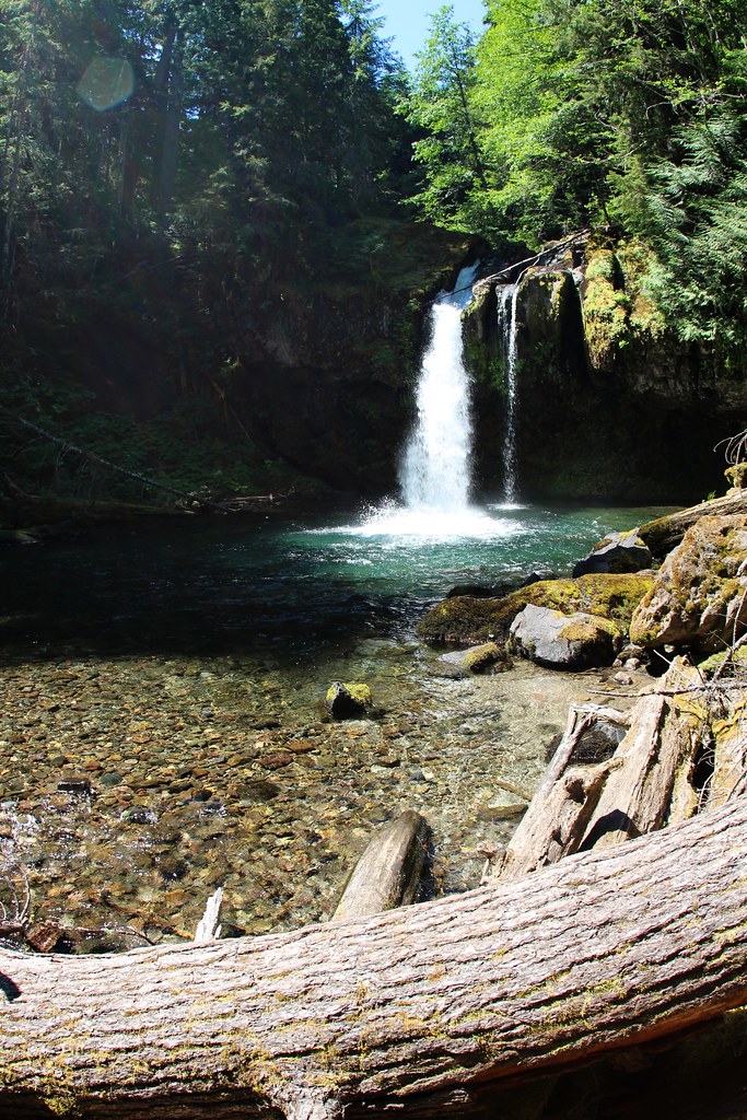
- Tallest drop 192 ft · 2 drops
- On Iron Creek
- 14 mi from Darrington
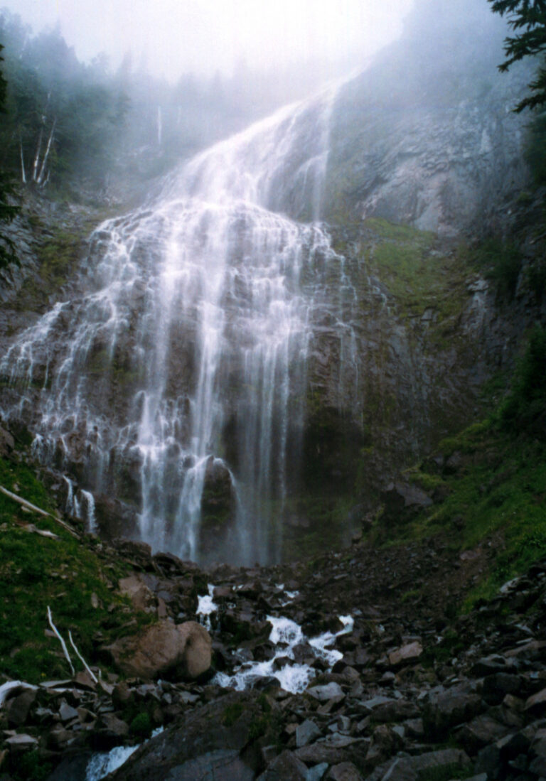
- On Spray Creek
- 17 mi from Crocker
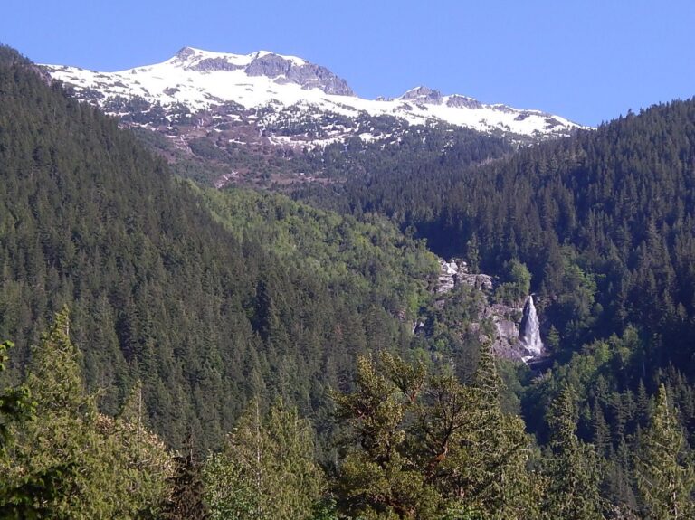
- Tallest drop 200 ft · 4 drops
- 28 mi from Darrington
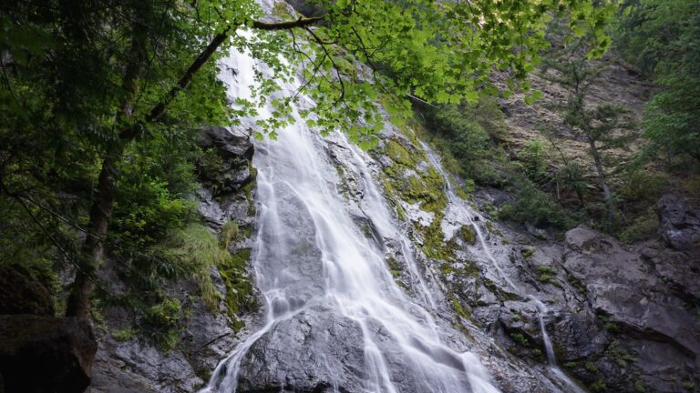
- Tallest drop 239 ft · 4 drops
- On Rocky Brook
- 8 mi from Seabeck
- Tallest drop 85 ft · 7 drops
- On Big Creek
- 26 mi from Carson
- Tallest drop 94 ft · 4 drops
- On Chenuis Creek
- 14 mi from Crocker
- On Snoqualmie River
- 1 mi from Snoqualmie
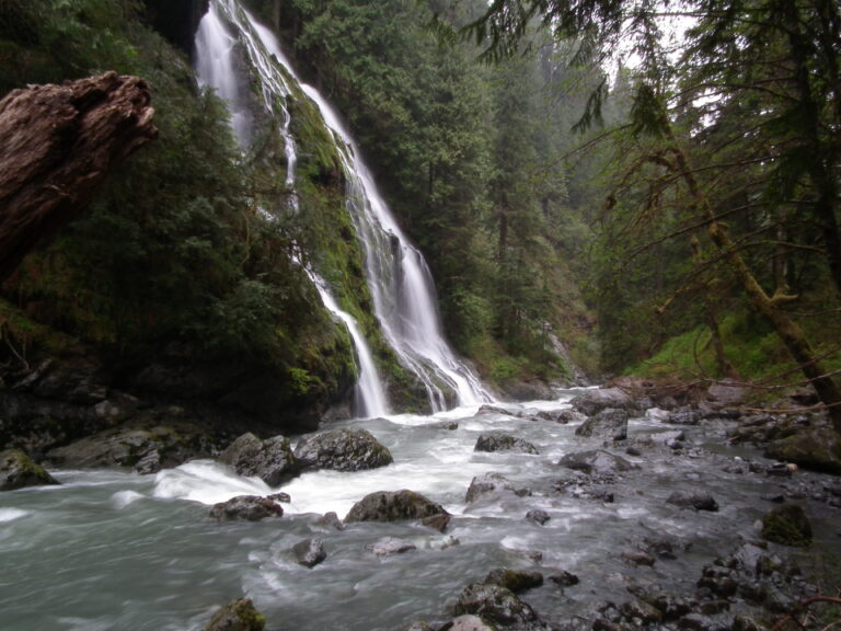
- 10 mi from Darrington
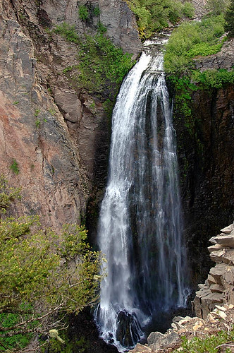
- On Clear Creek
- 28 mi from Tieton
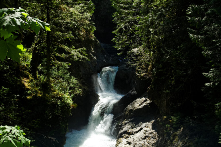
- Tallest drop 110 ft · 5 drops
- On South Fork Snoqualmie River
- 3 mi from Riverbend
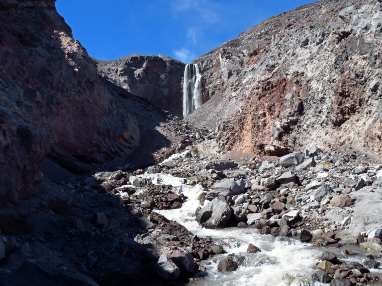
- On Loowit Creek
- 24 mi from Morton
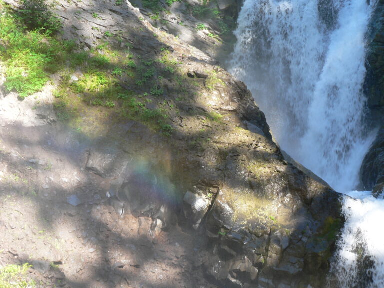
- Tallest drop 65 ft · 5 drops
- On Van Trump Creek
- 24 mi from Eatonville
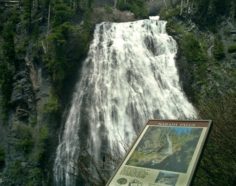
- Tallest drop 159 ft · 2 drops
- On Paradise River
- 25 mi from Eatonville
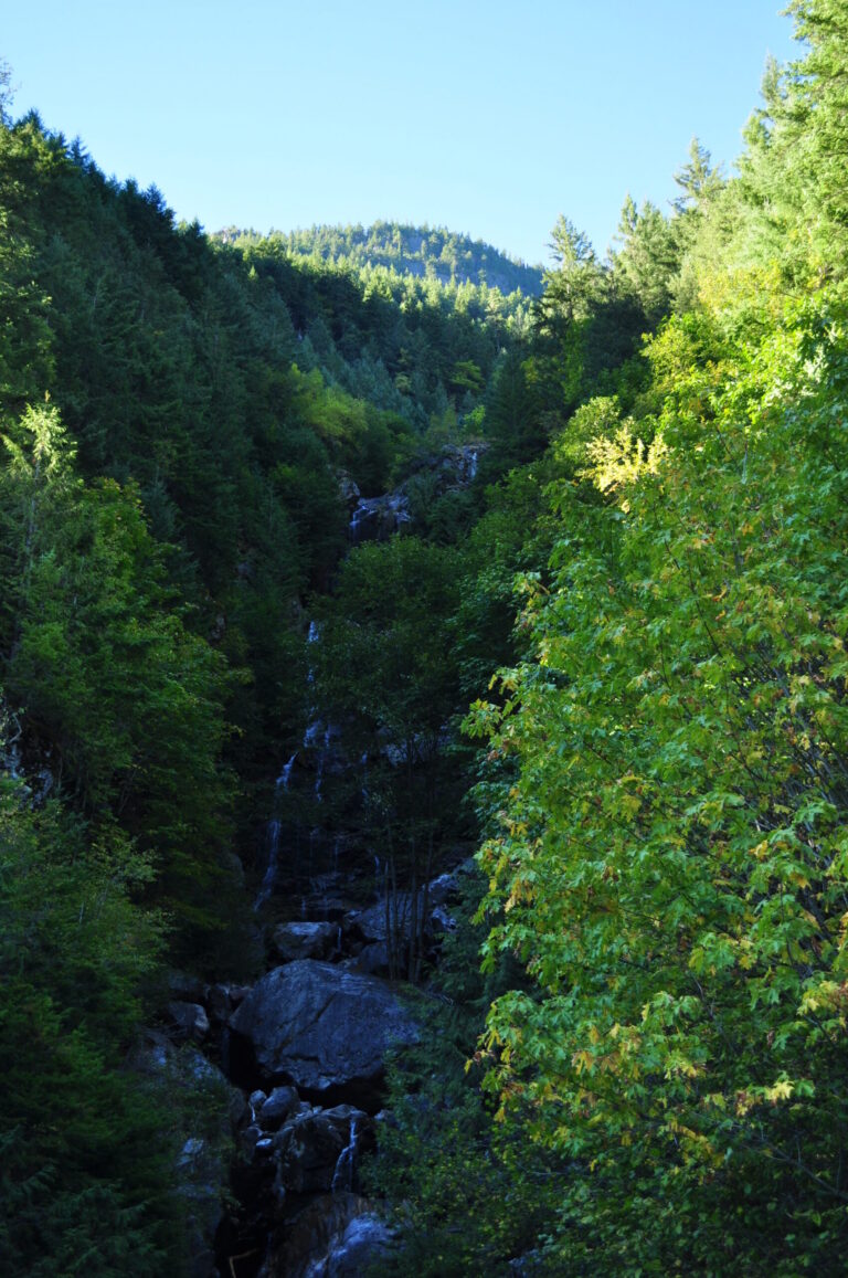
- On Ketchum Creek
- 36 mi from Darrington
Finding waterfalls in Washington, from Cascade peaks to canyon country
Two mountain ranges and one ancient flood account for most of Washington's 2,598 named waterfalls. Rain and snowmelt pour off volcanic peaks the length of the Cascades, orographic rain feeds a temperate rain forest on the Olympic Peninsula, and in the dry east a single Ice Age megaflood cut the canyon around one well-known drop on the Palouse River. Wider counts that include every drop, named or not, put the statewide total above 3,000.
Where the waterfalls are
The Cascade Range splits the state and holds most of its falls. Glaciers feed the North Cascades in Whatcom and Skagit counties; the national park there has more than 300 glaciers, the most heavily glaciated area in the country outside Alaska. South of there, King County (I-90) and Snohomish County (US 2) carry the foothill falls closest to Seattle, while Chelan, Okanogan, Kittitas and Yakima counties hold the drier east-slope falls. Mount Rainier National Park spans Pierce and Lewis counties, where creeks drop over old volcanic rock along the park's main road above Longmire.
The Washington side of the Columbia River Gorge (Skamania and Klickitat counties) and Olympic National Park's glacier peaks, rain forest and coast (Jefferson, Clallam, Mason and Grays Harbor counties) fill out the state's wetter edges. East of the mountains, where named falls thin out, the megaflood carved the canyon around Whitman County's waterfall.
Waterfalls worth the trip
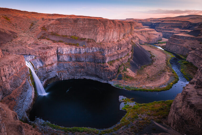
- Palouse Falls, 186 feet off a basalt rim, is Washington's official state waterfall; the viewpoint is a short walk from the lot.
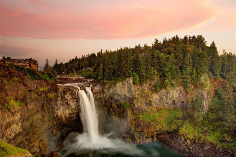
- Snoqualmie Falls drops 268 feet over an amphitheater of volcanic rock east of Seattle, with an upper viewpoint steps from the lot.
- Comet Falls, 462 feet in four tiers on Van Trump Creek in Mount Rainier National Park, is a 3.8-mile round trip with about 900 feet of climbing.
- Sol Duc Falls, where the river splits into several channels before dropping 48 feet into a narrow canyon, is a level 0.8-mile walk through Olympic old growth.
- Bridal Veil Falls near Gold Bar drops about 1,315 feet in tiers up Mount Index, reached by a multi-mile day hike on the Lake Serene Trail.
- Franklin Falls, 151 feet near Snoqualmie Pass, is an easy 2-mile round trip with 400 feet of gain.
- Panther Creek Falls, 136 feet on the Washington side of the Columbia Gorge, splits into two veils that reunite over lower tiers, a 0.16-mile round trip to a fenced viewpoint.
When to go
West of the Cascades, rain and lowland snowmelt keep falls like Snoqualmie and Franklin running hardest from fall through early summer. High, snow-fed drops such as Comet Falls are best left until the snow is fully gone, sometimes into June or July. Sol Duc Falls peaks March through July. East of the mountains, Palouse Falls carries the most water from December through May. Winter shuts the North Cascades Highway every year between the Ross Dam trailhead and the Silver Star gate; it closed for the 2025-26 season on December 4, 2025.
Fees, passes and closures
Washington State Parks, including Palouse Falls, take a Discover Pass: $10 a day or $45 a year per vehicle in 2026. Mount Rainier and Olympic National Parks each charge $30 per vehicle for seven days, $25 for a motorcycle and $15 on foot or bike, and Rainier will not run timed entry in 2026. North Cascades National Park charges no entrance fee; a Northwest Forest Pass, $5 a day or $30 a year, is needed only at national forest trailheads next to the park. Some forest pullouts, including Panther Creek Falls, charge nothing, while the Franklin Falls trailhead lot closed for the 2025-26 winter, with parking moved to the older Asahel Curtis Sno-Park. Snoqualmie Falls, on utility-owned land, asks nothing at the gate.
Safety
Basalt ledges and cold, fast currents make several of these falls dangerous up close. Washington State Parks bans swimming and any approach to the plunge pool at Palouse Falls, where two visitors died in 2018, one swimming below the falls and one falling from the rim above. A fatal fall in 2018 led to a fenced, rerouted viewpoint above Panther Creek Falls, and a hiker drowned after slipping from rocks above Sol Duc Falls in 2025. At Mount Rainier, wait until the snow has fully melted before hiking to Comet Falls: an avalanche buried the trail for a year in 2012. Stay behind railings and off the rocks above any drop.
Waterfalls in Washington on the map
Numbers show how many sit in that area; zoom in or click to split them, click a marker for details.
Tallest waterfalls in Washington
- Falls Creek Falls2,715 ftPierce County
- Colonial Creek Falls2,568 ftWhatcom County
- Johannesburg Falls2,465 ftSkagit County
- Cloudcap Falls2,400 ftWhatcom County
- Seahpo Peak Falls2,200 ftWhatcom County
- Lower Falls Creek Falls2,198 ftPierce County
- Sulphide Creek Falls2,182 ftWhatcom County
- Buck Mountain Falls2,040 ftChelan County
- Clark Mountain Falls2,000 ftChelan County
- Roush Creek Falls2,000 ftSkagit County
Waterfalls by county
Washington has named waterfalls in 35 counties. The most are in Whatcom County (347), Pierce County (315), Skamania County (244), King County (234), Snohomish County (224), Chelan County (183). Every county has its own page with a map and the tallest falls:
- Adams County 2
- Chelan County 183
- Clallam County 49
- Clark County 21
- Columbia County 3
- Cowlitz County 26
- Douglas County 5
- Ferry County 9
- Franklin County 2
- Garfield County 1
- Grant County 15
- Grays Harbor County 25
- Jefferson County 131
- King County 234
- Kitsap County 6
- Kittitas County 86
- Klickitat County 19
- Lewis County 180
- Lincoln County 4
- Mason County 42
- Okanogan County 76
- Pacific County 7
- Pend Oreille County 24
- Pierce County 315
- San Juan County 9
- Skagit County 178
- Skamania County 244
- Snohomish County 224
- Spokane County 9
- Stevens County 19
- Thurston County 14
- Wahkiakum County 6
- Whatcom County 347
- Whitman County 6
- Yakima County 75
Types of waterfalls in Washington
horsetail (397), tiered (321), plunge (253), cascade (181), segmented (75), veiling (64). What the types mean is explained in the guide to waterfall types.
About the data
Of the 2,596 waterfalls in Washington, 1,529 have a measured height, 123 have coordinates verified against aerial imagery and 92 have photos. Heights are the total drop as recorded by the source; falls without a measurement are listed without one. Every page has the stream, the nearest town and distance, a map with directions and a review form for photos and notes.