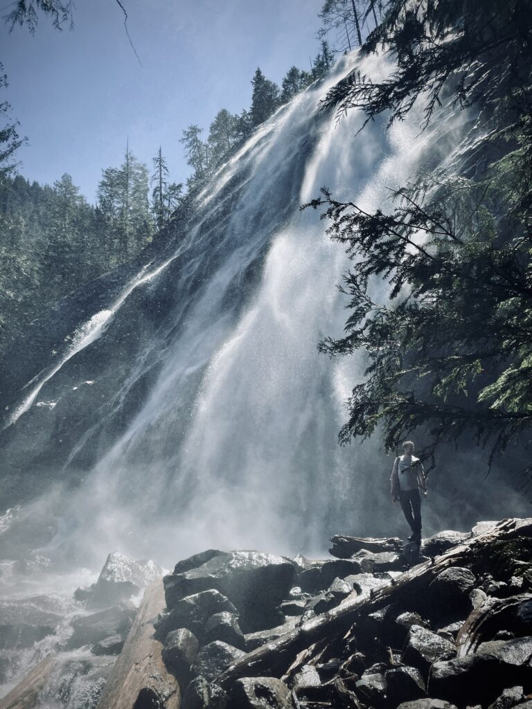
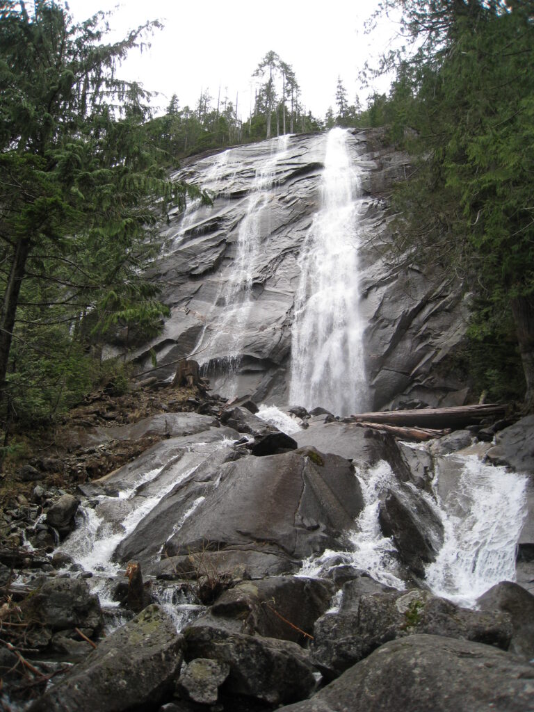
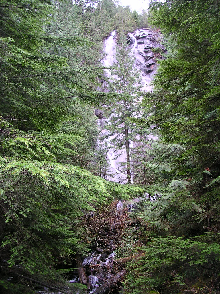
From Lake Serene on the east wall of Mount Index, Bridal Veil Falls drops 1,315 feet in seven tiers near the town of Index in Snohomish County, Washington. A trail off US Highway 2 climbs to viewpoints in the spray of its lower tiers.
The falls
Bridal Veil Creek drops out of Lake Serene in seven steps — five major sections separated by shorter cascades and level stretches — spread over more than a quarter mile of mountainside. The tallest single drop is 322 feet. Only about a third of the falls is visible from any one spot, and the upper tiers cannot be seen from the trail.
Getting there
From US Highway 2 near Index, take Mount Index Road to the Lake Serene Trail 1068 trailhead. Parking requires a Northwest Forest Pass or an America the Beautiful Pass, and there is a toilet at the trailhead.
The trail follows an old forest road, then a signed spur branches right toward the falls. The base of the lowest tier is about 1.8 miles from the trailhead, and the base of the second tier another half mile up a spur at 2.3 miles; the last half mile is steep, with switchbacks and wooden stairs. The round trip is 4 miles with 1,000 feet of gain, rated moderate. The main trail continues across the creek and up to Lake Serene for a much bigger climb.
When to go
The falls run hardest from November through June, fed by rain and snowmelt. The trail is usually hiked from late spring to fall; in winter and early spring, snow and ice make the stairs slick. The trailhead lot fills on summer weekends, so a weekday or early start helps.
On site
The viewpoints sit in the spray, and the rock and stairs are wet most of the year. The middle and upper tiers can be reached only by scrambling up cliffs, which is not advised. Dogs are allowed on leash. The trail is not suitable for wheelchairs or strollers.
History and name
The Honeymoon Mine near Lake Serene brought the first visitors into the area in the nineteenth century.
Nearby
Sunset Falls is about 1.3 miles away, and Eagle Falls about 2.6 miles; both are on the South Fork Skykomish River along Highway 2.
Distances are straight-line.