Waterfalls in Georgia
298 waterfalls in Georgia across 29 counties, from the USGS dataset; 233 with a measured height. The tallest is Rice Cabin Falls at 370 ft. All US waterfalls.
State: Georgia 47
- Alabama 97
- Arizona 66
- Arkansas 280
- California 1,039
- Colorado 345
- Connecticut 79
- Florida 3
- Georgia 298
- Idaho 249
- Illinois 20
- Indiana 24
- Iowa 8
- Kansas 24
- Kentucky 65
- Louisiana 6
- Maine 175
- Maryland 13
- Massachusetts 37
- Michigan 294
- Minnesota 43
- Mississippi 8
- Missouri 11
- Montana 252
- Nebraska 14
- Nevada 25
- New Hampshire 264
- New Jersey 5
- New Mexico 20
- New York 879
- North Carolina 495
- North Dakota 1
- Ohio 26
- Oklahoma 30
- Oregon 1,342
- Pennsylvania 274
- Rhode Island 5
- South Carolina 22
- South Dakota 10
- Tennessee 427
- Texas 71
- Utah 76
- Vermont 229
- Virginia 127
- Washington 2,596
- West Virginia 13
- Wisconsin 83
- Wyoming 267
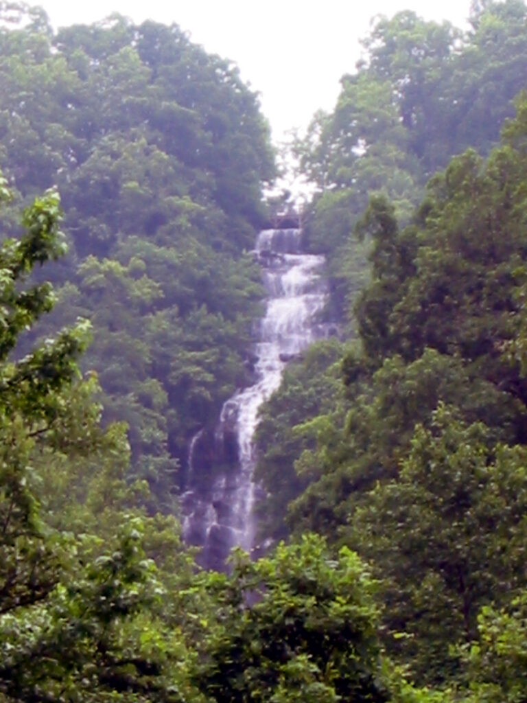
- On Amicalola Creek
- 12 mi from Dawsonville
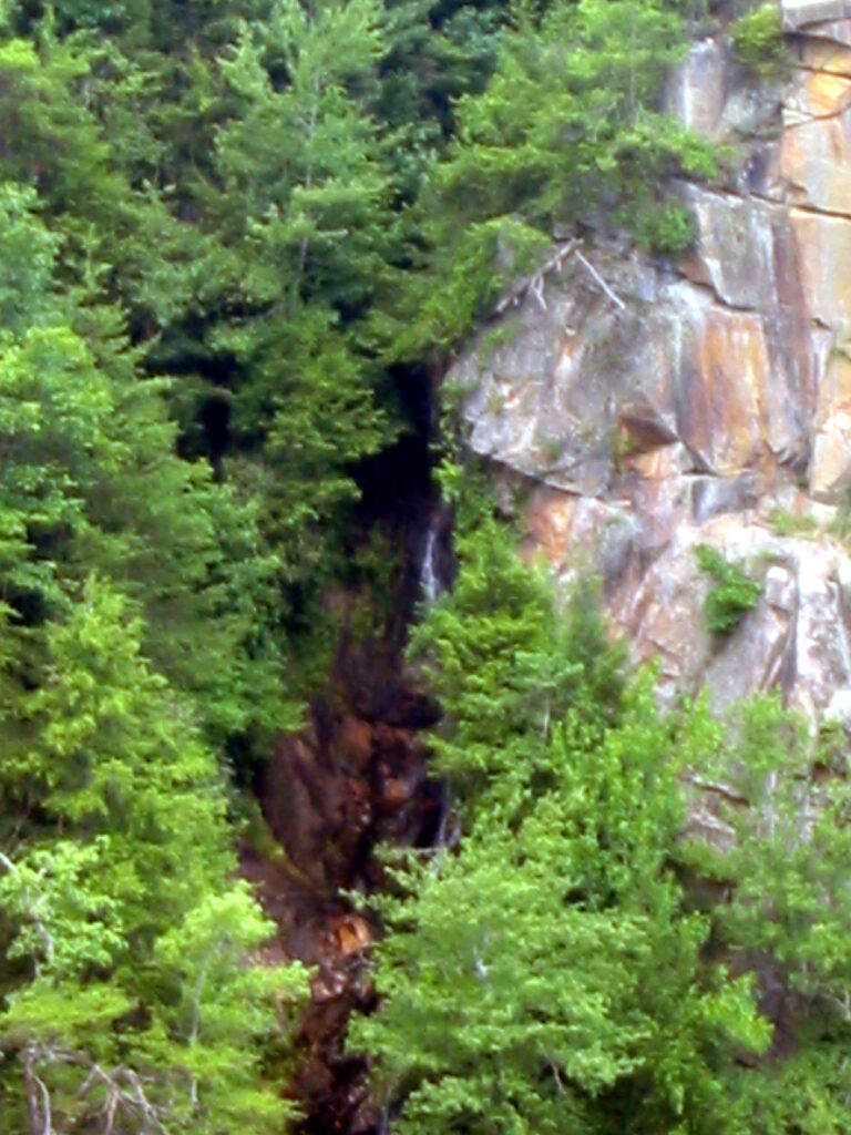
- Tallest drop 150 ft · 3 drops
- 10 mi from Clayton
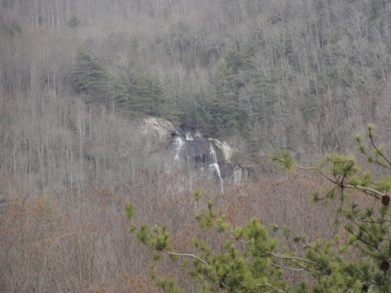
- Tallest drop 185 ft · 3 drops
- On Mud Creek
- 6 mi from Mountain City
- Tallest drop 160 ft · 3 drops
- On Duke Creek
- 8 mi from Cleveland
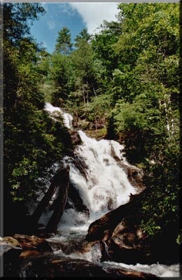
- 5 drops
- On Holcomb Creek
- 8 mi from Mountain City
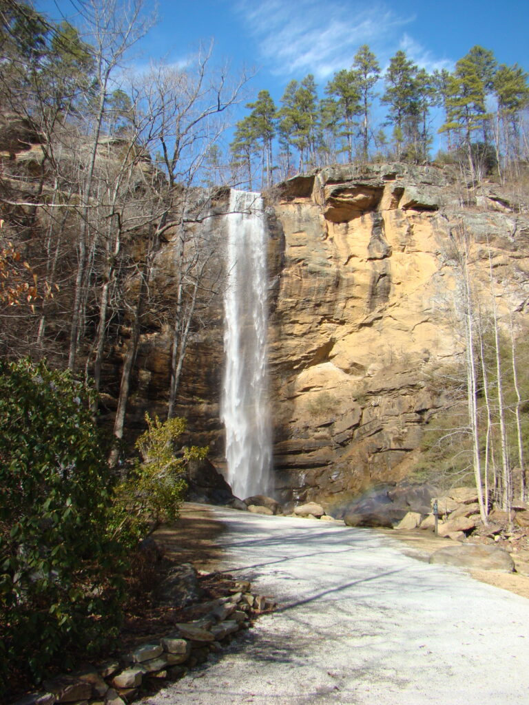
- On Toccoa Creek
- 2 mi from Toccoa
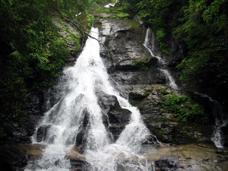
- 2 drops
- On High Shoals Creek
- 11 mi from Young Harris
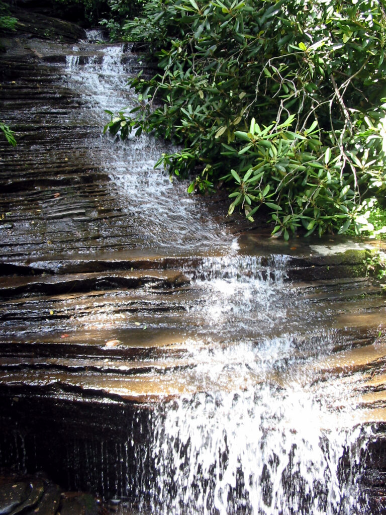
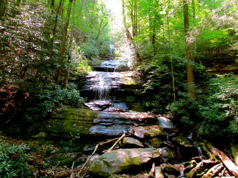
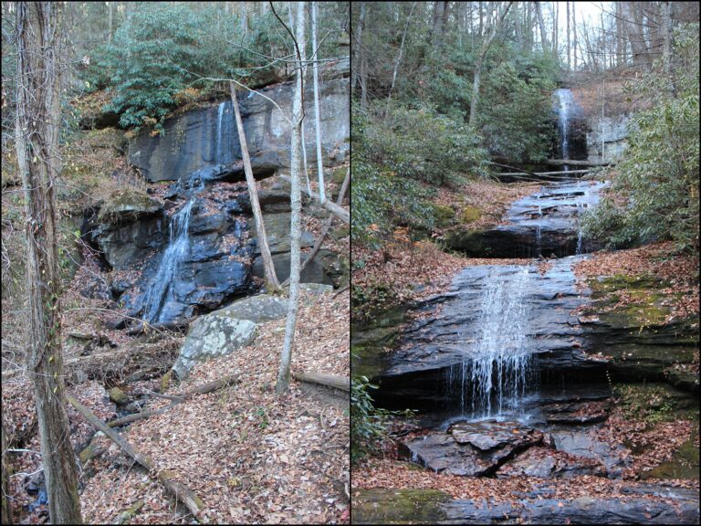
- Tallest drop 35 ft · 5 drops
- 12 mi from Cleveland
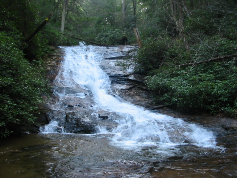
- Tallest drop 75 ft · 2 drops
- On Helton Creek
- 13 mi from Young Harris
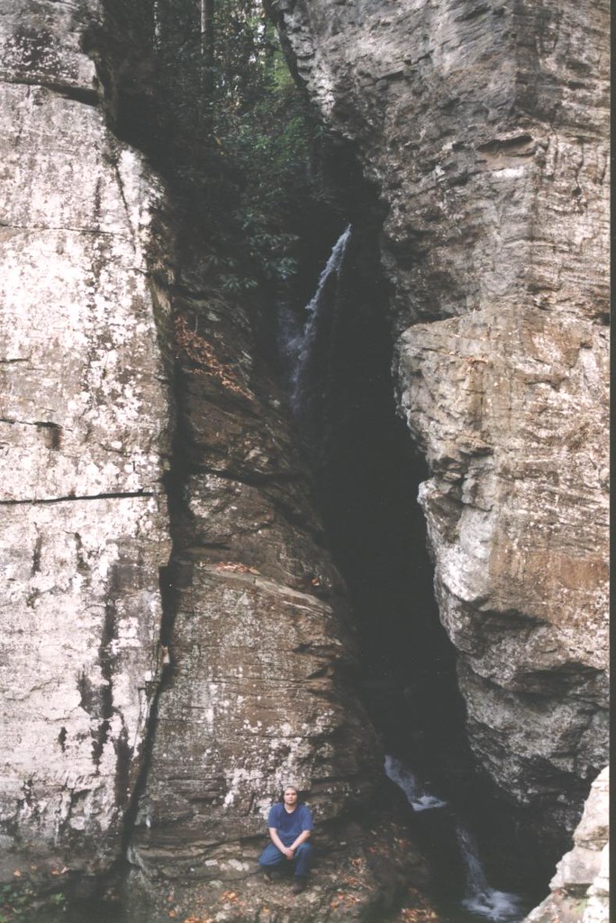
- Tallest drop 55 ft · 2 drops
- On Dodd Creek
- 9 mi from Cleveland
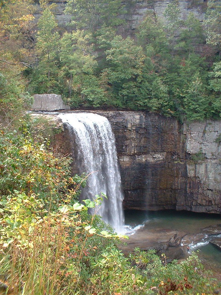
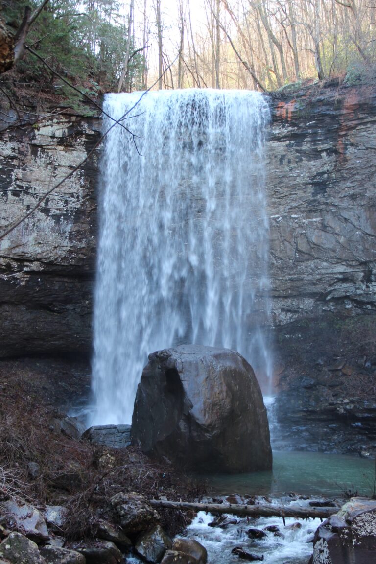
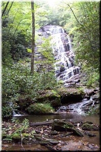
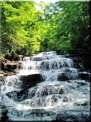
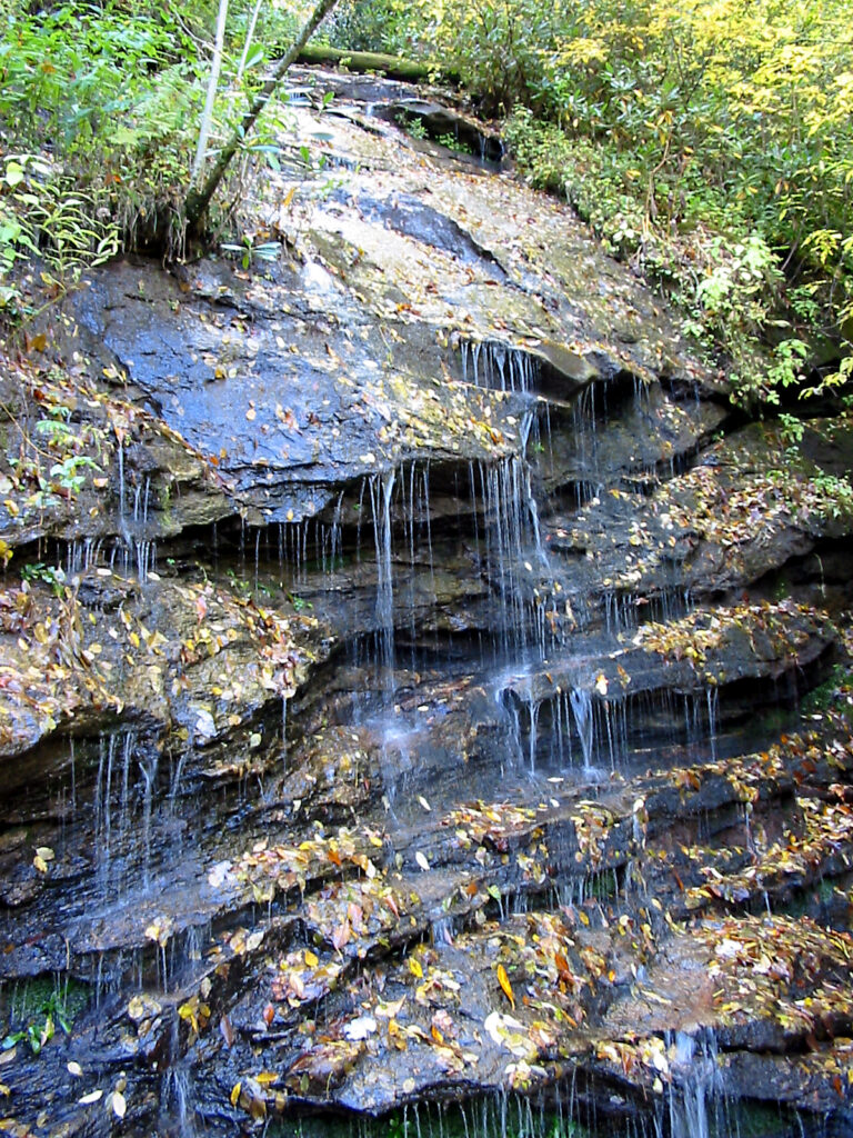
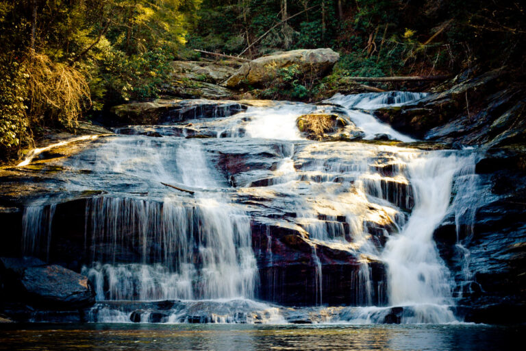
- Tallest drop 30 ft · 5 drops
- On Panther Creek
- 8 mi from Toccoa
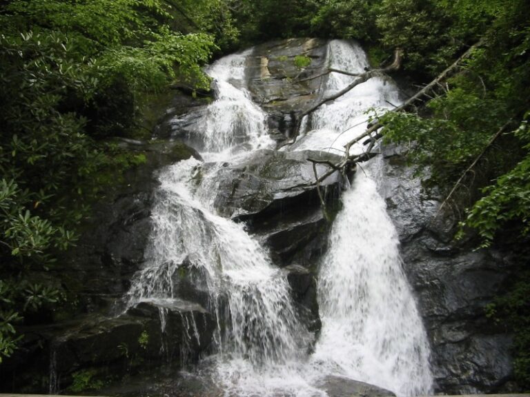
- Tallest drop 50 ft · 2 drops
- On Ammons Creek
- 8 mi from Mountain City
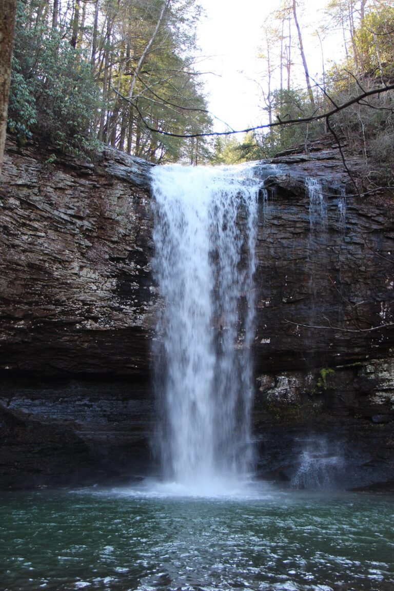
- 2 drops
- On Jacks River
- 11 mi from McCaysville
- 2 drops
- On Dicks Creek
- 9 mi from Mountain City
Georgia waterfalls, from Amicalola's cliffs to Lookout Mountain
In the far northeast corner of Georgia, the Blue Ridge rises into the state's highest ground, and the hard gneiss and schist underneath hold up ledges that a creek drops straight over instead of wearing down into a slope. Sandstone caprock on the Cumberland Plateau, in the separate northwest corner, does the same job above Lookout Mountain's canyons. Between those two corners and a scatter of small Piedmont shoals elsewhere, the state holds 300 named waterfalls across 29 counties, with nearly all of the tall ones in the Blue Ridge.
Where the waterfalls are
Rabun County alone counts 91 listings, around Tallulah Gorge State Park and the Chattooga River; it also holds 295-foot Estatoah Falls, which sits on posted private land and is seen only at a distance from GA 246. Habersham County and Stephens County add more along the same escarpment. West of there, White County, Lumpkin County, Union County, Dawson County and Towns County hold the Chattahoochee National Forest falls around Helen, Cleveland, Blairsville and Young Harris, plus Amicalola Falls State Park, while Fannin County, Gilmer County and Murray County hold the backcountry Cohutta Wilderness falls toward Tennessee.
Georgia's other mountains sit apart, in the northwest corner: on the Cumberland Plateau, Walker County and Dade County hold Lookout Mountain's falls, including Cloudland Canyon State Park and the privately preserved Lula Falls. Everywhere else, small Piedmont shoals turn up from Meriwether County to Polk County, none with more than a few listings.
Waterfalls worth the trip
- Amicalola Falls, 360 feet by lidar survey (the park gives 729), drops down Amicalola Mountain in tiers and horsetails. A wheelchair-friendly overlook is 0.3 mile round trip; the full staircase loop past the falls runs 2.1 miles over roughly 600 steps.
- Caledonia Cascade, 330 feet, is a short walk from South Rim overlooks in Tallulah Gorge State Park. Its small, rain-fed stream can shrink to almost nothing in dry weather.
- Dukes Creek Falls, 210 feet in tiered horsetails, is a moderate 2.5-mile round-trip hike to observation decks north of Helen.
- High Shoals Falls, 145 feet over two steep cascades, is a 2.4-mile round trip in the High Shoals Scenic Area, passing smaller Blue Hole Falls.
- Lula Falls, 105 feet in a single plunge on Lookout Mountain, is an easy 4.2-mile round trip inside the Lula Lake Land Trust, a private preserve open only on scheduled weekends.
- Hemlock Falls, 95 feet, is the taller of two falls on Cloudland Canyon's Waterfalls Trail, a strenuous 2-mile round trip down about 600 metal stairs.
- Panther Creek Falls, 80 feet over a wide, tiered ledge, ends a moderate 7.2-mile round-trip hike; its sandy beach and pool draw summer swimmers.
- Toccoa Falls, 160 feet in a single free fall, is a 100-yard walk from a campus gift shop on private university land.
When to go
Falls across the Blue Ridge and the Cumberland Plateau run strongest with winter and spring rain; smaller, rain-fed drops, including Caledonia Cascade, thin out or nearly stop in a dry summer. October brings fall color to Amicalola and the northern counties, and their busiest crowds. Tallulah Gorge schedules aesthetic water releases down the main river on set dates each fall.
Fees, permits and closures
Georgia State Parks charge $10 per vehicle daily, or $70 for an annual ParkPass, at Amicalola Falls, Tallulah Gorge, Cloudland Canyon and Black Rock Mountain; Amicalola's fee rose to $10 on January 1, 2026, up from $5. Walking the floor of Tallulah Gorge needs a free permit, capped at 100 a day and issued only after a same-day safety briefing. In the Chattahoochee National Forest, Dukes Creek Falls charges $4 per vehicle daily; High Shoals Falls and Panther Creek Falls are free. Lula Falls, on private land, opens only on Open Gate Days, the first and last weekends of each month, by online reservation, at $16 per vehicle. Toccoa Falls charges $2 for adults through its campus gift shop, which can close around holidays and school breaks.
Two access points are currently closed: the Ada-hi Falls Trail at Black Rock Mountain State Park, shut for stair repair with no reopening date, and the Panther Creek Recreation Area north of Old Highway 441, closed under a Forest Service order signed April 1, 2025 for up to two years (the falls trail stays open). Hurricane Helene's 2024 flooding and washouts hit the Chattahoochee-Oconee National Forest's Chattooga River Ranger District, around Rabun and Habersham counties, hardest; check current alerts there.
Safety
Panther Creek Falls' pool has proven fatal: a 19-year-old drowned there in about 12 feet of water in June 2026, and rescuers carried him nearly 900 yards over rough ground to reach a road. At Raven Cliff Falls, a 19-year-old fell 40 to 50 feet from the top in 2022 and was trapped between rocks for six hours before a technical rescue; a hiker fell about 50 feet down an embankment near Dukes Creek Falls in 2024. Toccoa Falls carries its own history: the Kelly Barnes Dam upstream failed in 1977, sending floodwater over the falls and through the campus below and killing 39 people. Stay back from unrailed edges, keep off wet rock at the top of a drop, and treat creek crossings with caution after heavy rain.
Waterfalls in Georgia on the map
Numbers show how many sit in that area; zoom in or click to split them, click a marker for details.
Tallest waterfalls in Georgia
- Rice Cabin Falls370 ftWhite County
- Amicalola Falls360 ftDawson County
- Caledonia Cascade330 ftRabun County
- Chinquapin Branch Falls320 ftWhite County
- Estatoah Falls295 ftRabun County
- Cochrans Falls235 ftDawson County
- Dukes Creek Falls210 ftWhite County
- Law Ground Creek Falls200 ftRabun County
- Lost House Branch Falls165 ftWhite County
- Spoilcane Creek Falls165 ftWhite County
Waterfalls by county
Georgia has named waterfalls in 29 counties. The most are in Rabun County (89), Lumpkin County (36), Towns County (30), White County (29), Habersham County (15), Walker County (13). Every county has its own page with a map and the tallest falls:
- Banks County 5
- Cherokee County 1
- Coffee County 1
- Dade County 4
- Dawson County 10
- DeKalb County 2
- Fannin County 11
- Forsyth County 1
- Fulton County 3
- Gilmer County 8
- Grady County 1
- Habersham County 15
- Hall County 2
- Jones County 1
- Lumpkin County 36
- Madison County 1
- Meriwether County 2
- Monroe County 1
- Murray County 9
- Oconee County 1
- Paulding County 1
- Pickens County 4
- Polk County 1
- Rabun County 89
- Stephens County 3
- Towns County 30
- Union County 13
- Walker County 13
- White County 29
Types of waterfalls in Georgia
horsetail (24), plunge (11), cascade (7), tiered (5), dam (2). What the types mean is explained in the guide to waterfall types.
About the data
Of the 298 waterfalls in Georgia, 233 have a measured height, 46 have coordinates verified against aerial imagery and 29 have photos. Heights are the total drop as recorded by the source; falls without a measurement are listed without one. Every page has the stream, the nearest town and distance, a map with directions and a review form for photos and notes.
Find waterfalls near me · All US waterfalls
Sources
- en.wikipedia.org
- worldwaterfalldatabase.com
- en.wikipedia.org
- worldwaterfalldatabase.com
- worldwaterfalldatabase.com
- en.wikipedia.org
- fs.usda.gov
- worldwaterfalldatabase.com
- worldwaterfalldatabase.com
- nowgeorgia.com
- worldwaterfalldatabase.com
- gastateparks.org
- worldwaterfalldatabase.com
- lulalake.org
- gastateparks.org
- gastateparks.org
- fs.usda.gov