Waterfalls in Connecticut
79 waterfalls in Connecticut across 9 counties, from the USGS dataset; 72 with a measured height. The tallest is Kent Falls at 209 ft. All US waterfalls.
State: Connecticut 47
- Alabama 97
- Arizona 66
- Arkansas 280
- California 1,039
- Colorado 345
- Connecticut 79
- Florida 3
- Georgia 298
- Idaho 249
- Illinois 20
- Indiana 24
- Iowa 8
- Kansas 24
- Kentucky 65
- Louisiana 6
- Maine 175
- Maryland 13
- Massachusetts 37
- Michigan 294
- Minnesota 43
- Mississippi 8
- Missouri 11
- Montana 252
- Nebraska 14
- Nevada 25
- New Hampshire 264
- New Jersey 5
- New Mexico 20
- New York 879
- North Carolina 495
- North Dakota 1
- Ohio 26
- Oklahoma 30
- Oregon 1,342
- Pennsylvania 274
- Rhode Island 5
- South Carolina 22
- South Dakota 10
- Tennessee 427
- Texas 71
- Utah 76
- Vermont 229
- Virginia 127
- Washington 2,596
- West Virginia 13
- Wisconsin 83
- Wyoming 267
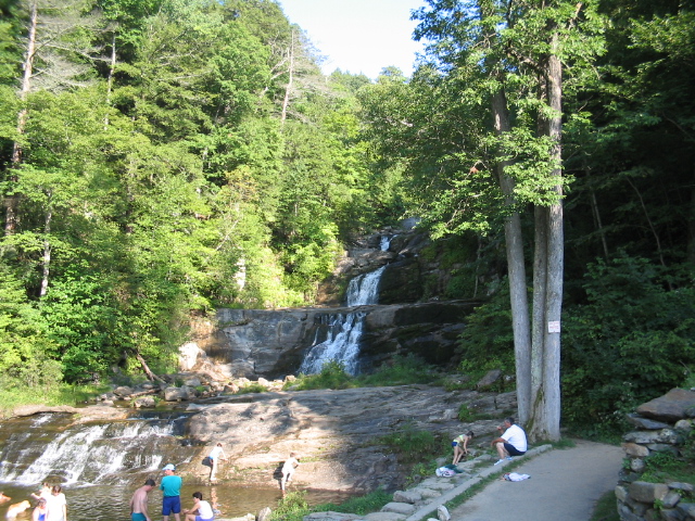
- Tallest drop 70 ft · 15 drops
- On Kent Falls Brook
- 5 mi from Kent
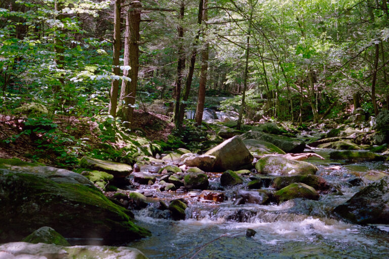
- Tallest drop 26 ft · 6 drops
- On Enders Brook
- 3 mi from Barkhamsted
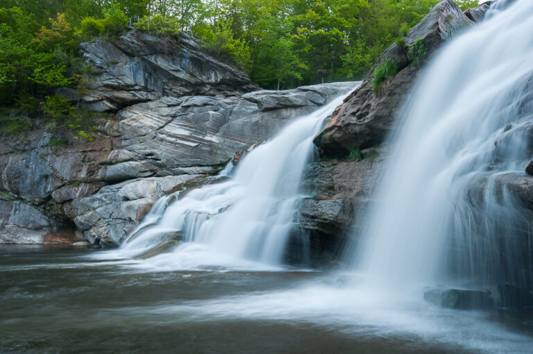
- 5 mi from Canaan
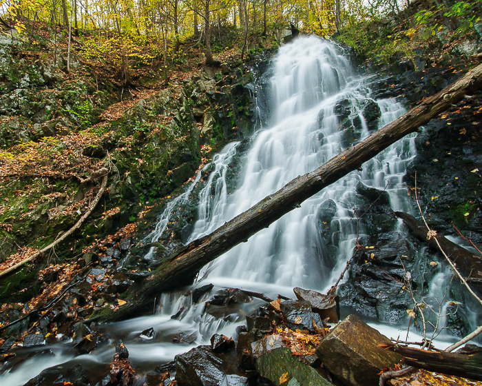
- On Roaring Brook
- 2 mi from Prospect
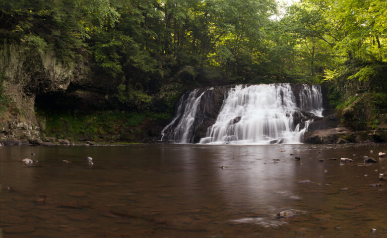
- On Wadsworth Brook
- 3 mi from Middletown
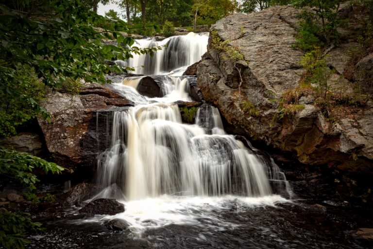
- Tallest drop 15 ft · 3 drops
- On Eightmile River
- 4 mi from Salem
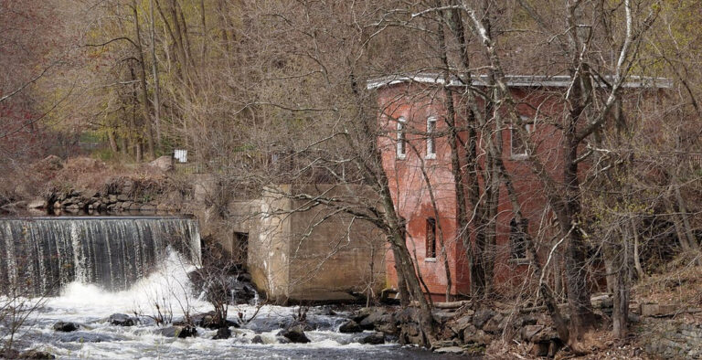
- 2 drops
- On Yantic River
- 1 mi from Norwich
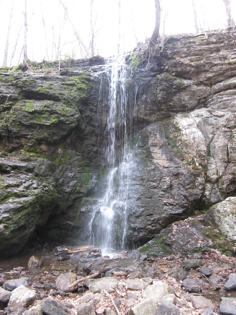
- 5 mi from Terramuggus
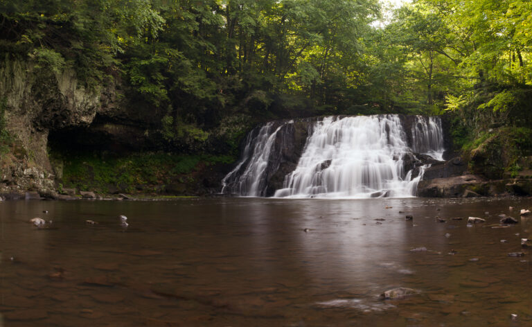
- On Coginchaug River
- 3 mi from Durham
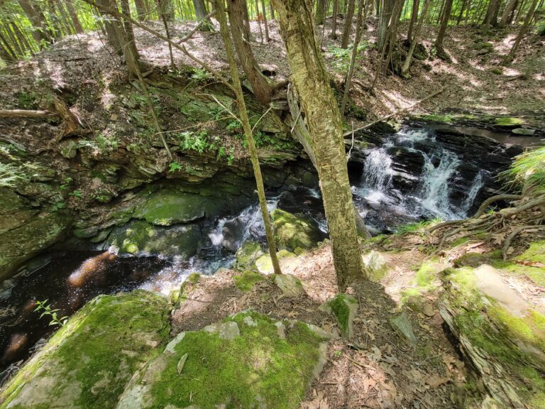
- Tallest drop 4 ft · 3 drops
- On Fishers Brook
- 2 mi from Storrs
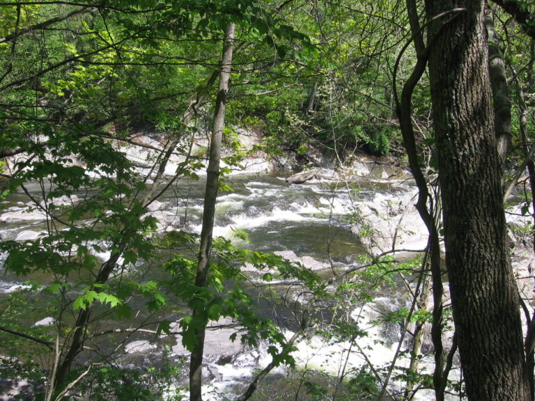
- 2 drops
- On Shepaug River
- 5 mi from Heritage Village
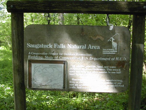
- 2 drops
- On Saugatuck River
- 4 mi from Georgetown

- Tallest drop 30 ft
- On Falls Brook
- 6 mi from Granville
- Tallest drop 20 ft
- On Watertown Branch
- 3 mi from Watertown
- 3 drops
- On Hancock Brook
- 2 mi from Terryville
- 3 mi from Winchester Center
- On Reed Brook
- 8 mi from Canaan
- 2 drops
- On Blackberry River
- 7 mi from Canaan
- 2 drops
- On Birch Mountain Brook
- 2 mi from Manchester
- 2 mi from Higganum
- On Hatch Brook
- 9 mi from Kent
- 3 mi from West Simsbury
- 2 mi from Kensington
- 2 drops
- On Pine Swamp Brook
- 11 mi from Kent
Small drops and marble ledges, Connecticut's waterfalls
Marble and gneiss ridges rise into the Litchfield Hills in Connecticut's northwest corner, and the brooks off them make the state's tallest, steepest falls; farther south and east, smaller streams cut through basalt ridges and glacial till from the last ice sheet. The state counts 79 named waterfalls, concentrated most heavily in that northwest hill country and thinning toward the eastern uplands and the shoreline.
Where the waterfalls are
The Northwest Hills Planning Region holds the largest share, around Kent, Cornwall and Canaan, where marble and gneiss give the steepest drops in the state. East of there, the Capitol Planning Region around Hartford and the Naugatuck Valley Planning Region add falls on brooks crossing central Connecticut's traprock ridges.
Along the lower Connecticut River, the Lower Connecticut River Valley Planning Region has falls cut into the old rift-valley basalt and sandstone, including the Eightmile River watershed. The Western Connecticut Planning Region and South Central Connecticut Planning Region hold smaller falls closer to the coast, and the Southeastern Connecticut Planning Region takes in the Yantic and Quinebaug river falls around Norwich. Falls thin out toward the Northeastern Connecticut Planning Region and the Greater Bridgeport Planning Region, each with only a couple of named drops.
Waterfalls worth the trip
- Kent Falls, 209 feet down a staircase of tiered drops on Kent Falls Brook, is the tallest and best-known waterfall in the state; a stepped trail climbs beside it for 0.84 mile round trip, though the state park's own materials still describe about 250 feet overall.
- Enders Falls drops 121 feet in six tiered steps on Enders Brook, reached by a half-mile loop with stone steps in Enders State Forest.
- Great Falls, a 50-foot horsetail where the Housatonic River spreads wide over a rock ledge at Falls Village, is a short walk from parking; a dam upstream diverts most of the flow to a hydroelectric station much of the year.
- Chapman Falls steps 40 feet down tiered schist ledges pocked with potholes in Devil's Hopyard State Park, a short walk from the lot.
- Yantic Falls drops 40 feet through a narrow gorge in Norwich, at the city's Uncas Leap Heritage Park, a flat, roughly one-mile round trip from downtown.
- Roaring Brook Falls is a 50-foot horsetail on West Mountain in Cheshire, at the end of a steep, rocky 1.8-mile round trip; most published accounts still give its older figure of 80 feet.
- Wadsworth Falls, a 20-foot curtain on the Coginchaug River, and its taller, narrower neighbor Wadsworth Little Falls at 45 feet share Wadsworth Falls State Park, a short walk apart.
When to go
Spring carries the strongest flow: Kent Falls and Wadsworth Falls run heaviest with snowmelt or rain, and Great Falls, held back by an upstream dam most of the year, peaks in late winter and early spring releases. Smaller brook falls such as Wadsworth Little Falls and Blackledge Falls need recent rain to run at all and often thin to a trickle by summer. Boardwalks at Enders Falls turn slick when wet or icy, and Indian Well Falls sits in a park closed to vehicle traffic from November through March, walk-in only.
Fees, passes and posted rules
Connecticut-registered vehicles park free at every state park and forest in 2026 under the Passport to the Parks program, funded by a surcharge on vehicle registrations since 2017. Out-of-state vehicles pay $10 on weekdays and $15 on weekends and holidays from April 1 through October 31 at parks that charge, or $112 for a non-resident season pass; Enders State Forest and Devil's Hopyard State Park charge no parking fee at all. Great Falls sits on land owned by the utility FirstLight, open to the public but privately managed for hydroelectric power. Codfish Falls is on private land where visitors have long been tolerated, but the conservation group holding an easement there does not encourage visits, and posted rules should be followed.
Safety
Kent Falls and Wadsworth Falls both ban swimming, and ask visitors to stay on the trails and off the ledges. Hikers have been hurt on the steep ground at Roaring Brook Falls: a 20-year-old fell about 15 feet in 2014, and the Cheshire Fire Department made two rescues of injured hikers there in 2024. Near Great Falls, four visitors were rescued in 2009 after one fell about 40 feet close to the ledge, and legislative testimony describes a serious fall at Enders Falls in 2017. Glastonbury bans ice climbing at Blackledge Falls.
Waterfalls in Connecticut on the map
Numbers show how many sit in that area; zoom in or click to split them, click a marker for details.
Tallest waterfalls in Connecticut
- Kent Falls209 ftNorthwest Hills Planning Region
- Enders Falls121 ftCapitol Planning Region
- Falls Brook Falls75 ftNorthwest Hills Planning Region
- Nonnewaug Falls62 ftNaugatuck Valley Planning Region
- Great Falls50 ftNorthwest Hills Planning Region
- Roaring Brook Falls50 ftNaugatuck Valley Planning Region
- Buttermilk Falls46 ftNaugatuck Valley Planning Region
- Wadsworth Little Falls45 ftLower Connecticut River Valley Planning Region
- Burr Falls43 ftNorthwest Hills Planning Region
- Deans Ravine Falls42 ftNorthwest Hills Planning Region
Waterfalls by county
Connecticut has named waterfalls in 9 counties. The most are in Northwest Hills Planning Region (20), Capitol Planning Region (14), Lower Connecticut River Valley Planning Region (12), Naugatuck Valley Planning Region (10), Western Connecticut Planning Region (7), Southeastern Connecticut Planning Region (7). Every county has its own page with a map and the tallest falls:
- Capitol Planning Region 14
- Greater Bridgeport Planning Region 1
- Lower Connecticut River Valley Planning Region 12
- Naugatuck Valley Planning Region 10
- Northeastern Connecticut Planning Region 2
- Northwest Hills Planning Region 20
- South Central Connecticut Planning Region 6
- Southeastern Connecticut Planning Region 7
- Western Connecticut Planning Region 7
Types of waterfalls in Connecticut
tiered (36), cascade (16), segmented (4), slide (4), fan (4), dam (3). What the types mean is explained in the guide to waterfall types.
About the data
Of the 79 waterfalls in Connecticut, 72 have a measured height, 41 have coordinates verified against aerial imagery and 12 have photos. Heights are the total drop as recorded by the source; falls without a measurement are listed without one. Every page has the stream, the nearest town and distance, a map with directions and a review form for photos and notes.
Find waterfalls near me · All US waterfalls
Sources
- en.wikipedia.org
- worldwaterfalldatabase.com
- ctparks.com
- worldwaterfalldatabase.com
- portal.ct.gov
- worldwaterfalldatabase.com
- en.wikipedia.org
- firstlight.energy
- worldwaterfalldatabase.com
- ctparks.com
- worldwaterfalldatabase.com
- norwichct.gov
- worldwaterfalldatabase.com
- cttrailfinder.com
- worldwaterfalldatabase.com
- ctparks.com
- ctparks.com
- portal.ct.gov
- portal.ct.gov
- ctdeepstore.com
- newenglandwaterfalls.com
- patch.com
- cheshirefd.org
- ctinsider.com
- cga.ct.gov
- glastonburyct.gov