Waterfalls in Michigan
294 waterfalls in Michigan across 14 counties, from the USGS dataset; 187 with a measured height. The tallest is Jasper Falls at 190 ft. All US waterfalls.
State: Michigan 47
- Alabama 97
- Arizona 66
- Arkansas 280
- California 1,039
- Colorado 345
- Connecticut 79
- Florida 3
- Georgia 298
- Idaho 249
- Illinois 20
- Indiana 24
- Iowa 8
- Kansas 24
- Kentucky 65
- Louisiana 6
- Maine 175
- Maryland 13
- Massachusetts 37
- Michigan 294
- Minnesota 43
- Mississippi 8
- Missouri 11
- Montana 252
- Nebraska 14
- Nevada 25
- New Hampshire 264
- New Jersey 5
- New Mexico 20
- New York 879
- North Carolina 495
- North Dakota 1
- Ohio 26
- Oklahoma 30
- Oregon 1,342
- Pennsylvania 274
- Rhode Island 5
- South Carolina 22
- South Dakota 10
- Tennessee 427
- Texas 71
- Utah 76
- Vermont 229
- Virginia 127
- Washington 2,596
- West Virginia 13
- Wisconsin 83
- Wyoming 267
- On Laughing Whitefish River
- 15 mi from K. I. Sawyer Air Force Base
- On Dover Creek
- 5 mi from Laurium
- Tallest drop 48 ft · 4 drops
- On Middle Branch Ontonagon River
- 32 mi from Iron River
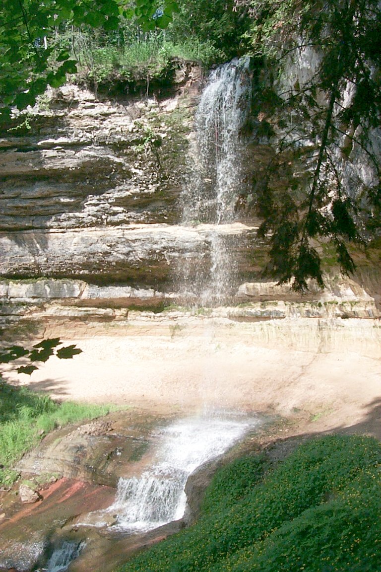
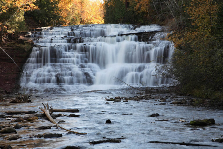
- Tallest drop 35 ft · 3 drops
- On Middle Branch Ontonagon River
- 29 mi from Ontonagon
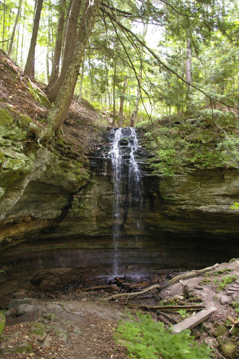
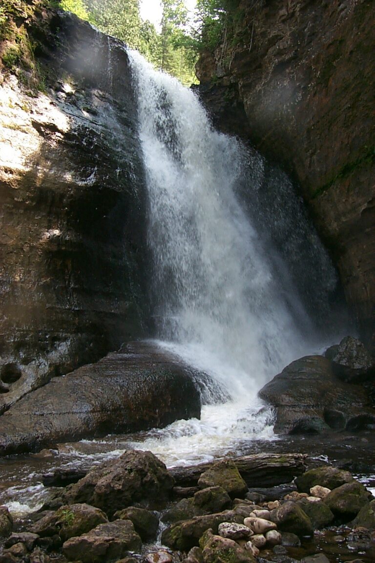
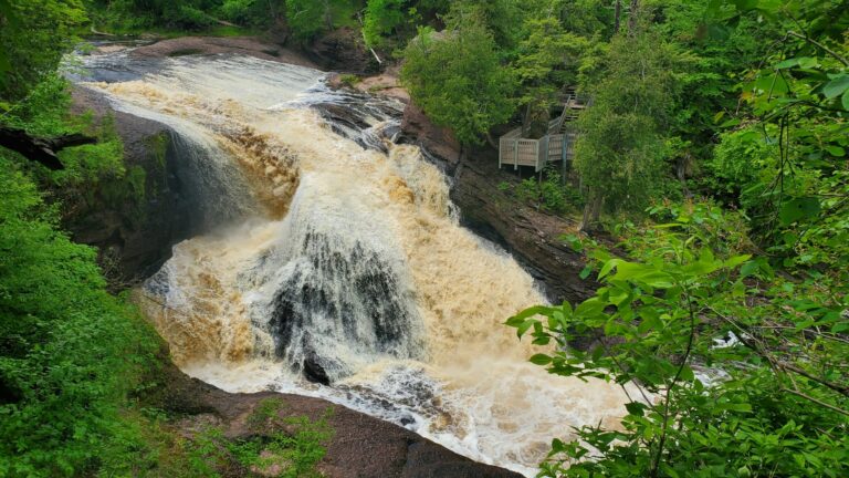
- On Black River
- 12 mi from Bessemer
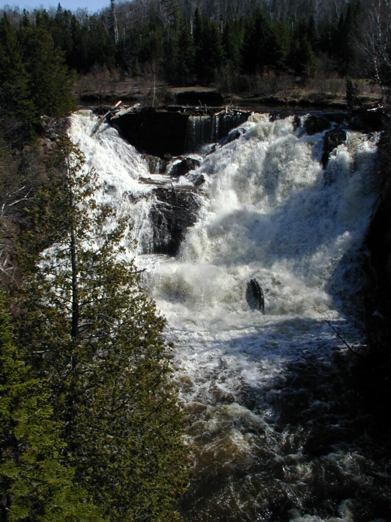
- On Eagle River
- 14 mi from Laurium
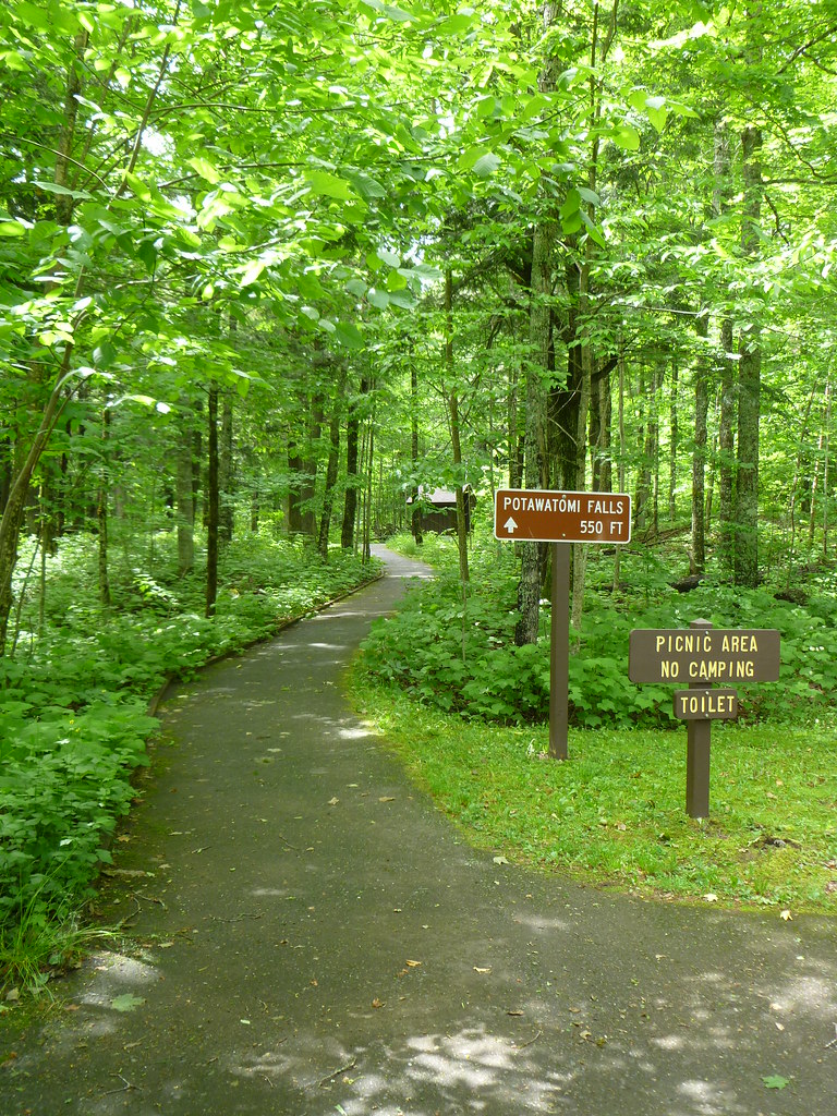
- 2 drops
- On Black River
- 11 mi from Bessemer
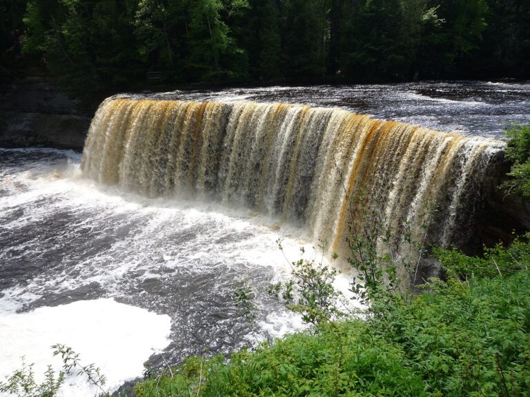
- On Tahquamenon River
- 19 mi from Newberry
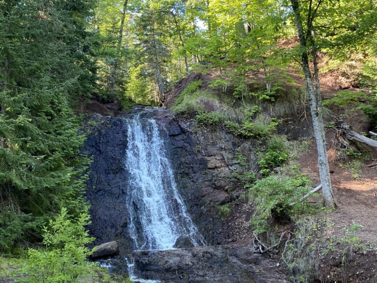
- Tallest drop 20 ft · 2 drops
- On Haven Creek
- 22 mi from Laurium
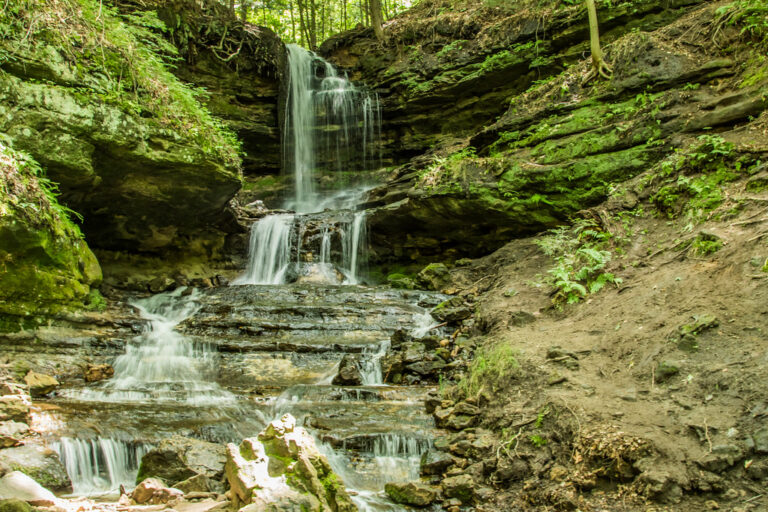
- Tallest drop 15 ft · 3 drops
- Under 1 mi from Munising
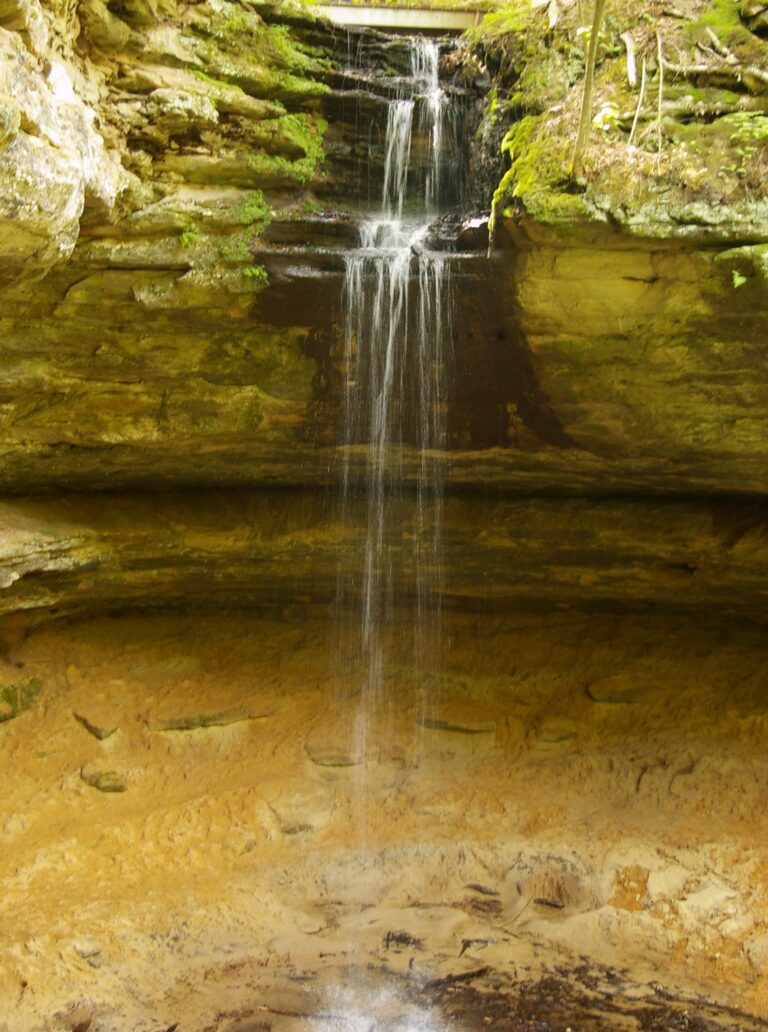
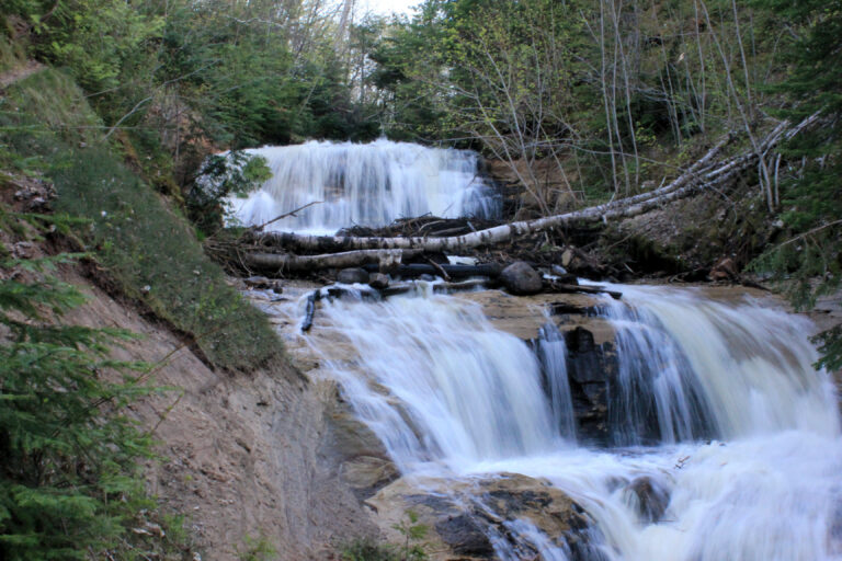
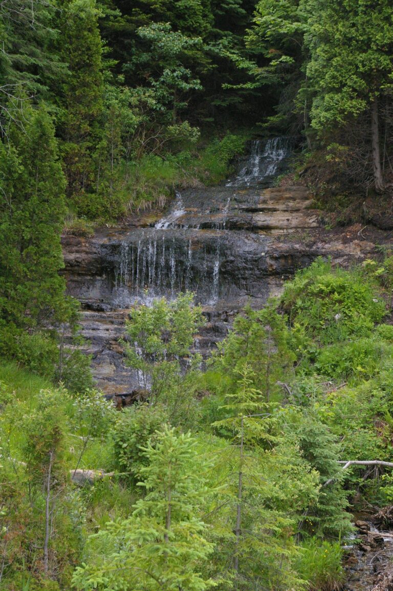
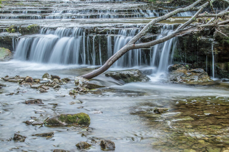
- 2 drops
- On Au Train River
- 11 mi from Munising
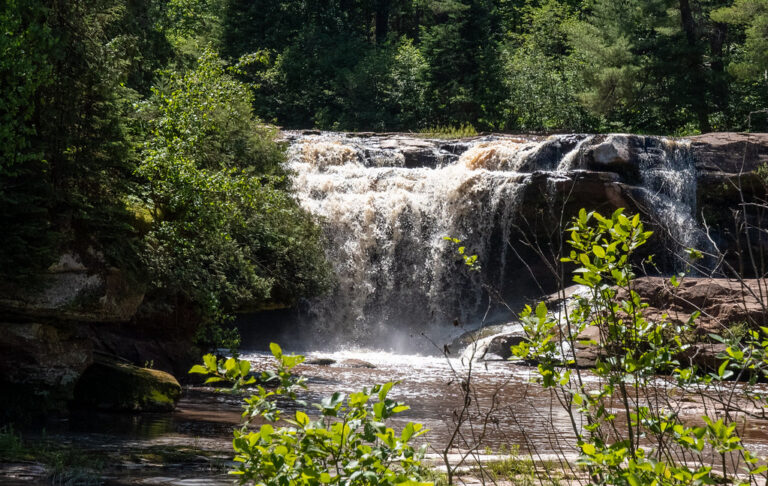
- On Baltimore River
- 17 mi from Ontonagon
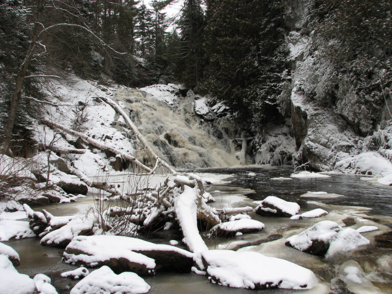
- On Yellow Dog River
- 16 mi from West Ishpeming
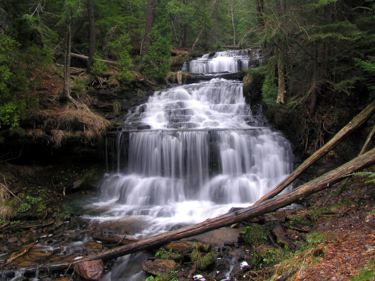
- 2 drops
- On Wagner Creek
- 2 mi from Munising
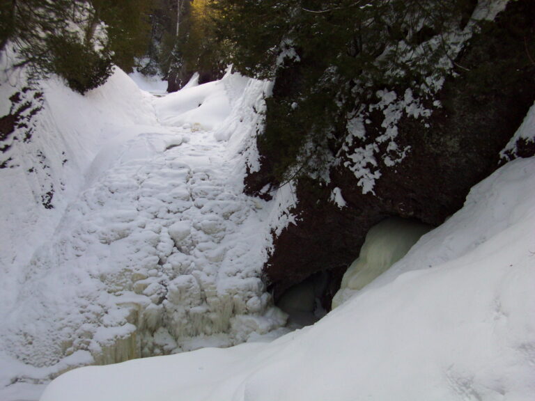
- On Black River
- 11 mi from Bessemer
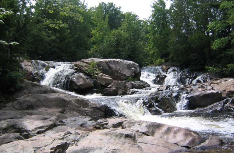
- On Yellow Dog River
- 17 mi from Negaunee
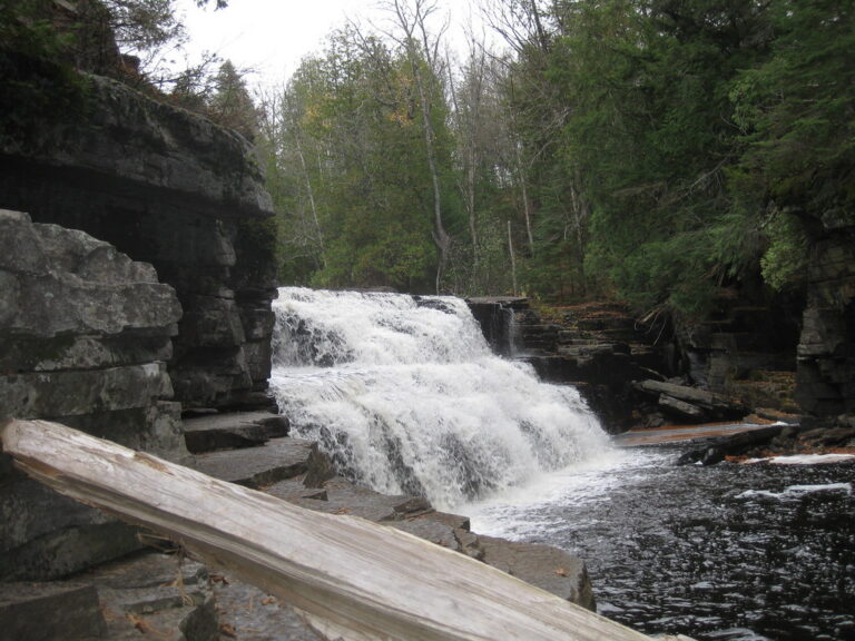
- On Sturgeon River
- 9 mi from L'Anse
Michigan's waterfalls, from Pictured Rocks to the Porcupine Mountains
Nearly all of Michigan's 297 named waterfalls lie north of the Mackinac Bridge, on rock the Lower Peninsula never had. Near Munising, a hard dolomitic sandstone cap called the Au Train Formation resists erosion better than the softer stone beneath it, forming the lip of dozens of falls at Pictured Rocks. Farther west, the Porcupine Mountains are a basalt-and-conglomerate escarpment left by an ancient volcano, among the oldest rock exposed on the continent, where rivers step down in tiers rather than single plunges.
Where the waterfalls are
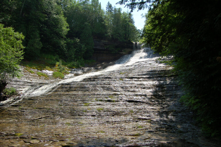
Alger County holds the best-known cluster, in and around Pictured Rocks National Lakeshore, with Munising anchoring several short-trail falls and Laughing Whitefish Falls dropping over a limestone escarpment a few miles inland. East of it, Luce County and Chippewa County share the Tahquamenon River's two falls inside one state park.
Marquette County lists more waterfalls than any other, 77, mostly on unmarked streams draining the Huron Mountains, and Baraga County adds 53 more on the Sturgeon, Slate and Silver rivers, most without a maintained trail.
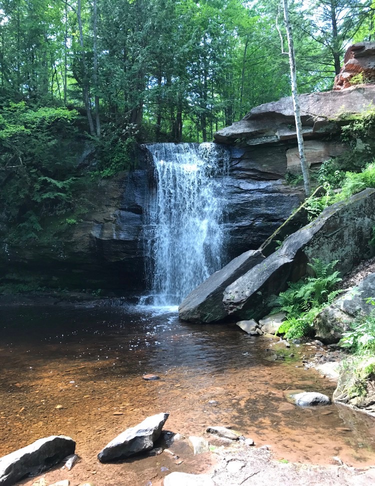
In the west, Gogebic County and Ontonagon County share the Porcupine Mountains and the Ottawa National Forest, where the Presque Isle and Black rivers each drop through several named falls and Bond and Agate Falls sit on the Middle Branch Ontonagon River. Keweenaw County and Houghton County, on the old copper-mining peninsula, have shorter falls dropping straight to the lake, including the Hungarian Falls on Dover Creek. Dickinson, Iron and Delta Counties, along the Wisconsin border, are smaller and less documented. In the Lower Peninsula, Presque Isle County's Ocqueoc Falls is the one significant waterfall outside the Upper Peninsula.
Waterfalls worth the trip
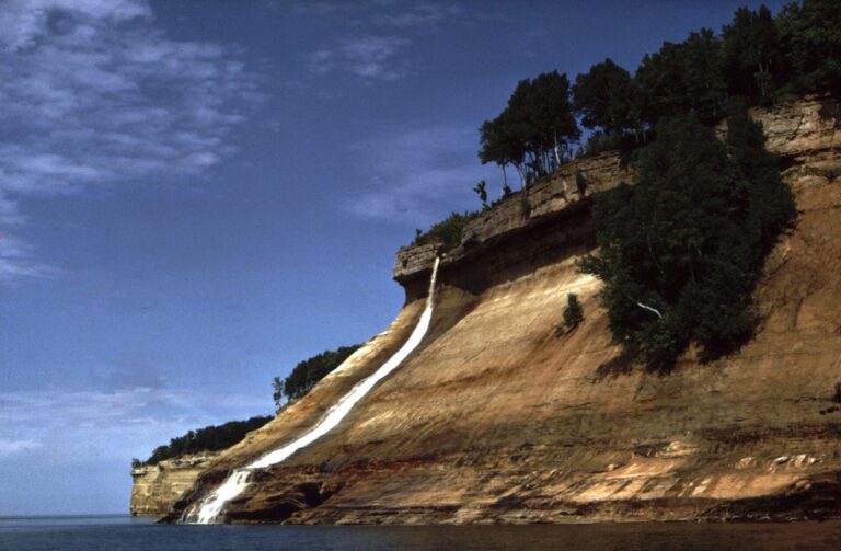
- Bridal Veil Falls, 140 feet, drops off a sandstone cap straight into Lake Superior near Miners Beach. There's no trail to the base; the view comes from a boat tour or a distant look from the Miners Castle overlook.
- Upper Tahquamenon Falls, a wide curtain of amber-stained river, is a short walk from a new accessible boardwalk; Lower Tahquamenon Falls, smaller drops split by an island a few miles downstream, can also be reached by rented rowboat.
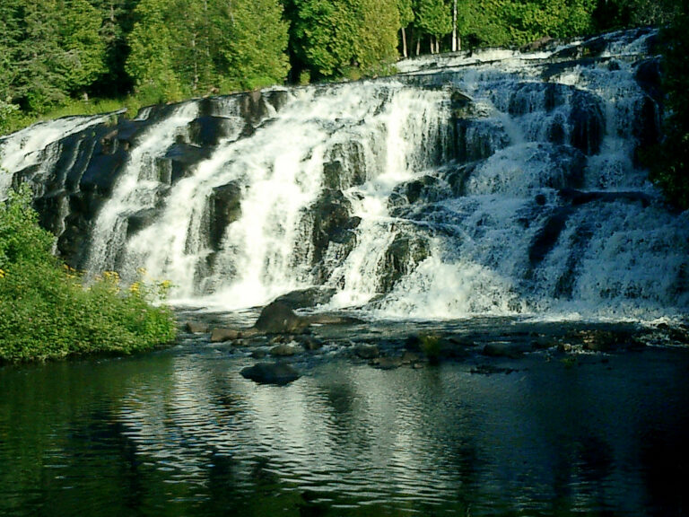
- Bond Falls, 65 feet over three or four tiers, has a roadside boardwalk with six viewpoints.
- Agate Falls, 60 feet in three terraced steps upstream on the same river, is a half-mile walk from a highway rest area to a crest-view platform under an old railway trestle.
- Manabezho Falls (15 feet), Manido Falls (12 feet) and Nawadaha Falls (10 feet) step down the Presque Isle River in the Porcupine Mountains on boardwalked loop trails.
- Rainbow Falls (40 feet), Potawatomi Falls (35 feet) and Great Conglomerate Falls (15 feet), three of six named drops on the Black River in the Ottawa National Forest, each sit a short walk from a trailhead off County Road 513.
- Laughing Whitefish Falls, 85 feet over a limestone escarpment, has its own state park with three viewing platforms; the lowest is 137 steps down.
- Pinnacle Falls, a 25-foot drop into a gorge on the Yellow Dog River, is a rugged mile-long walk on Yellow Dog Watershed Preserve land, where swimming below the falls is allowed.
When to go
Spring snowmelt brings the heaviest flow, especially on the Presque Isle River, and the smaller falls thin out by late summer. Bond and Agate Falls' overlook drives are normally open mid-May through mid-October, weather permitting; both boardwalks and trails stay open on foot year-round, just unplowed and unmonitored for ice. The access road to Laughing Whitefish Falls is the same in winter, reachable only by snowshoe or ski.
Fees, permits and closures
A Michigan Recreation Passport covers vehicle entry to the state's own sites — Bond Falls, Agate Falls, Laughing Whitefish Falls, Wagner Falls, Ocqueoc Falls and Tahquamenon Falls State Park — for $15 a year on a Michigan plate at renewal, or $5 more bought separately, and $12 a day or $42 a year for an out-of-state vehicle, in 2026. Pictured Rocks National Lakeshore, covering Bridal Veil, Munising, Miners and Sable Falls, charges $25 per vehicle for seven days, $20 per motorcycle or $15 per walk-in visitor, or $45 for an annual pass. In the Ottawa National Forest, a reconstruction project is replacing aging platforms at Rainbow, Potawatomi and Great Conglomerate Falls through fall 2027, with rolling partial closures. Munising Falls' own trail has been closed since an April 2025 washout, with repairs due by the end of 2027, and Tannery and Memorial Falls, inside a Michigan Nature Association preserve, are closed to all visitors.
Safety
Michigan's falls sit on wet sandstone, basalt and limestone ledges with few guardrails. A woman was swept over Rainbow Falls and died in 2020 after trying to cross the river above it. Swimming is banned in the Presque Isle River at the Porcupine Mountains falls and near Tahquamenon's Upper Falls, though it is allowed below Pinnacle Falls. Stay back from unfenced brinks and treat a river crossing above a falls as a hazard, not a shortcut.
Waterfalls in Michigan on the map
Numbers show how many sit in that area; zoom in or click to split them, click a marker for details.
Tallest waterfalls in Michigan
- Jasper Falls190 ftAlger County
- Bridal Veil Falls140 ftAlger County
- Eighty Foot Falls (Ives Falls)105 ftMarquette County
- Laughing Whitefish Falls85 ftAlger County
- Saxon Falls78 ftGogebic County
- Lower Hungarian Falls75 ftHoughton County
- Rocking Chair Lakes Falls75 ftMarquette County
- Bond Falls65 ftOntonagon County
- Eister Falls65 ftKeweenaw County
- Munising Falls65 ftAlger County
Waterfalls by county
Michigan has named waterfalls in 14 counties. The most are in Marquette County (75), Baraga County (52), Gogebic County (44), Ontonagon County (31), Alger County (30), Keweenaw County (19). Every county has its own page with a map and the tallest falls:
- Alger County 30
- Baraga County 52
- Berrien County 1
- Chippewa County 2
- Delta County 6
- Dickinson County 7
- Gogebic County 44
- Houghton County 18
- Iron County 7
- Keweenaw County 19
- Luce County 1
- Marquette County 75
- Ontonagon County 31
- Presque Isle County 1
Types of waterfalls in Michigan
tiered (106), cascade (25), block (22), horsetail (13), slide (12), plunge (8). What the types mean is explained in the guide to waterfall types.
About the data
Of the 294 waterfalls in Michigan, 187 have a measured height, 77 have coordinates verified against aerial imagery and 39 have photos. Heights are the total drop as recorded by the source; falls without a measurement are listed without one. Every page has the stream, the nearest town and distance, a map with directions and a review form for photos and notes.