Waterfalls in Pennsylvania
274 waterfalls in Pennsylvania across 38 counties, from the USGS dataset; 228 with a measured height. The tallest is Silverthread Falls at 145 ft. All US waterfalls.
State: Pennsylvania 47
- Alabama 97
- Arizona 66
- Arkansas 280
- California 1,039
- Colorado 345
- Connecticut 79
- Florida 3
- Georgia 298
- Idaho 249
- Illinois 20
- Indiana 24
- Iowa 8
- Kansas 24
- Kentucky 65
- Louisiana 6
- Maine 175
- Maryland 13
- Massachusetts 37
- Michigan 294
- Minnesota 43
- Mississippi 8
- Missouri 11
- Montana 252
- Nebraska 14
- Nevada 25
- New Hampshire 264
- New Jersey 5
- New Mexico 20
- New York 879
- North Carolina 495
- North Dakota 1
- Ohio 26
- Oklahoma 30
- Oregon 1,342
- Pennsylvania 274
- Rhode Island 5
- South Carolina 22
- South Dakota 10
- Tennessee 427
- Texas 71
- Utah 76
- Vermont 229
- Virginia 127
- Washington 2,596
- West Virginia 13
- Wisconsin 83
- Wyoming 267
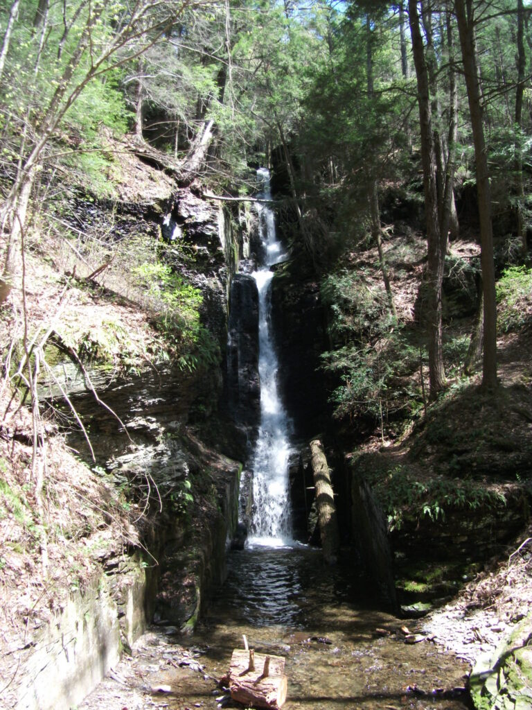
- Tallest drop 80 ft · 3 drops
- 2 mi from Birchwood Lakes
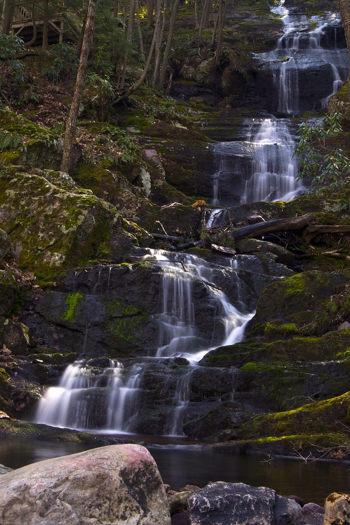
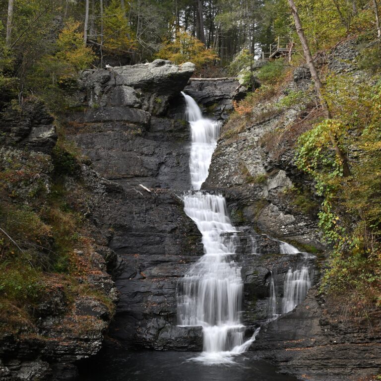
- Tallest drop 45 ft · 3 drops
- On Raymondskill Creek
- 5 mi from Birchwood Lakes
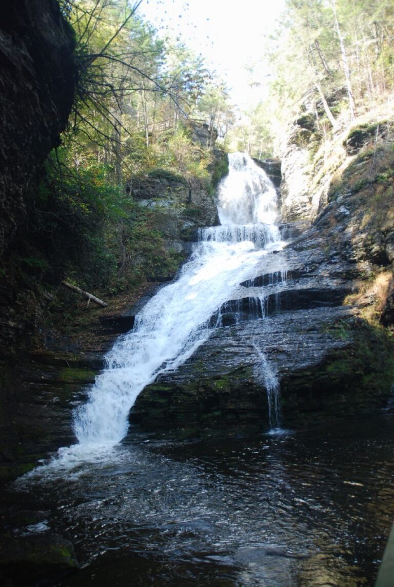
- 3 drops
- On Dingmans Creek
- 2 mi from Birchwood Lakes
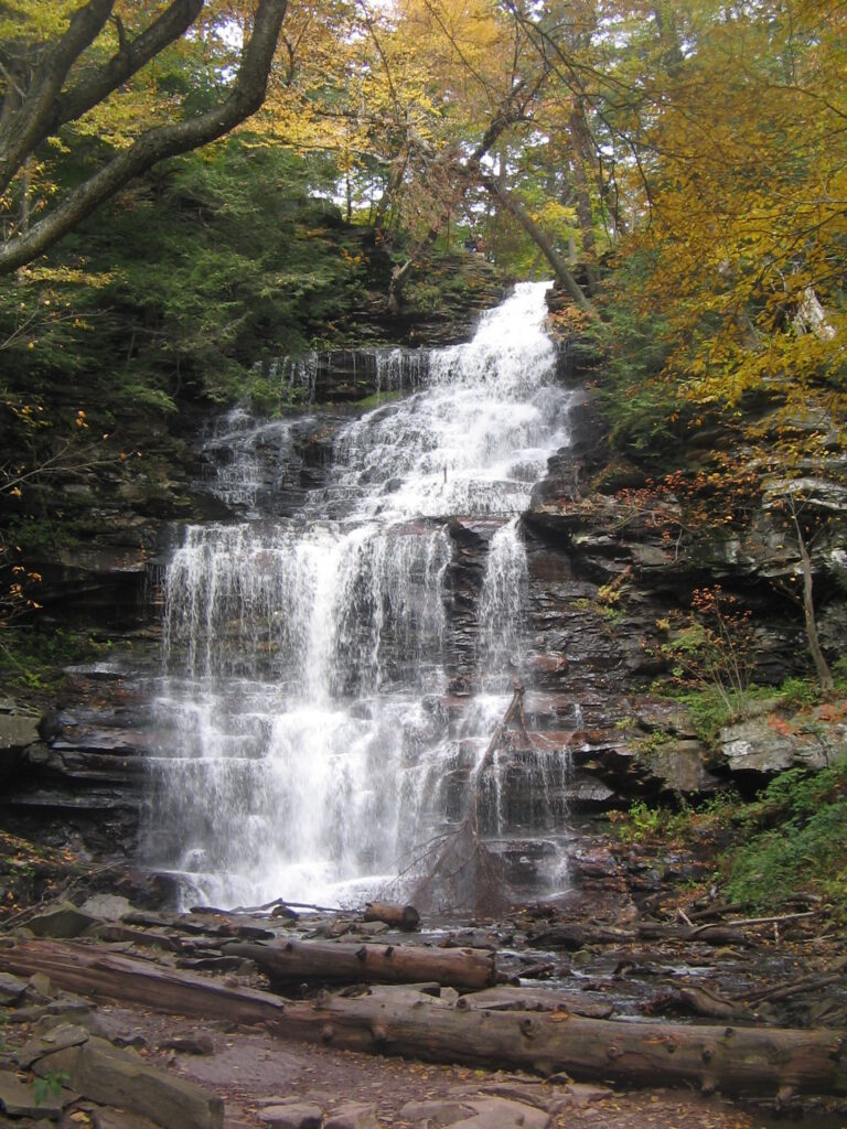
- Tallest drop 48 ft · 2 drops
- On Ganoga Glen Branch
- 14 mi from Harveys Lake
- On Buck Hill Creek
- Under 1 mi from Canadensis
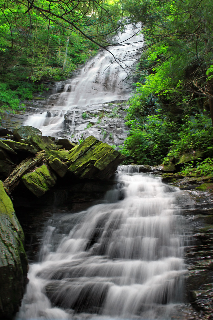
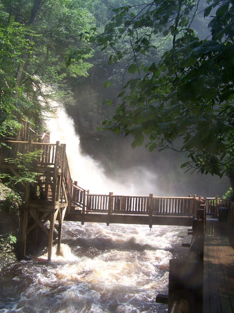
- Tallest drop 62 ft · 2 drops
- On Little Bush Kill Creek
- 2 mi from Saw Creek
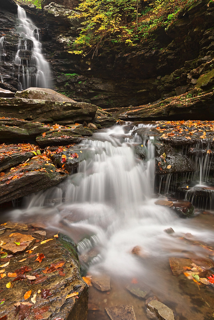
- Tallest drop 42 ft · 5 drops
- On Leigh Glen Branch
- 14 mi from Harveys Lake
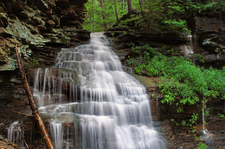
- Tallest drop 12 ft
- On Falls Run
- 11 mi from Hughesville
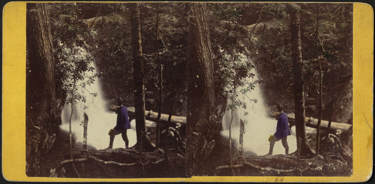
- Tallest drop 30 ft · 2 drops
- On Caldeno Creek
- 3 mi from East Stroudsburg
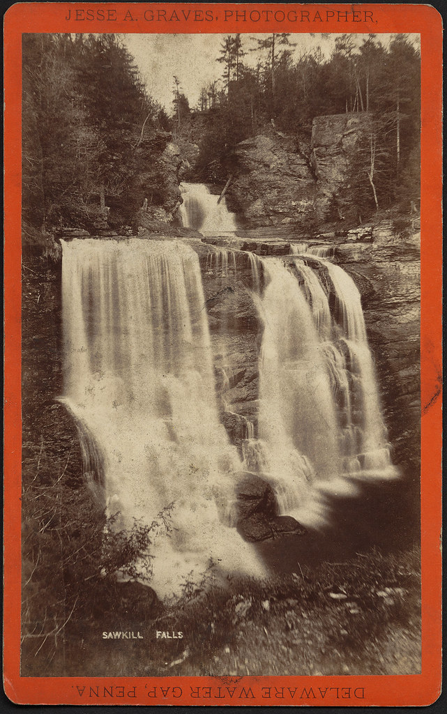
- 3 drops
- On Sawkill Creek
- 5 mi from Gold Key Lake
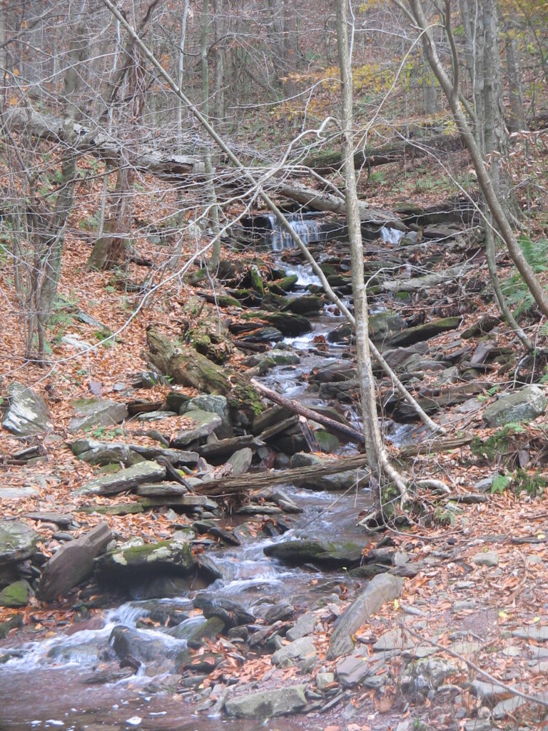
- On Shingle Cabin Creek
- 14 mi from Harveys Lake
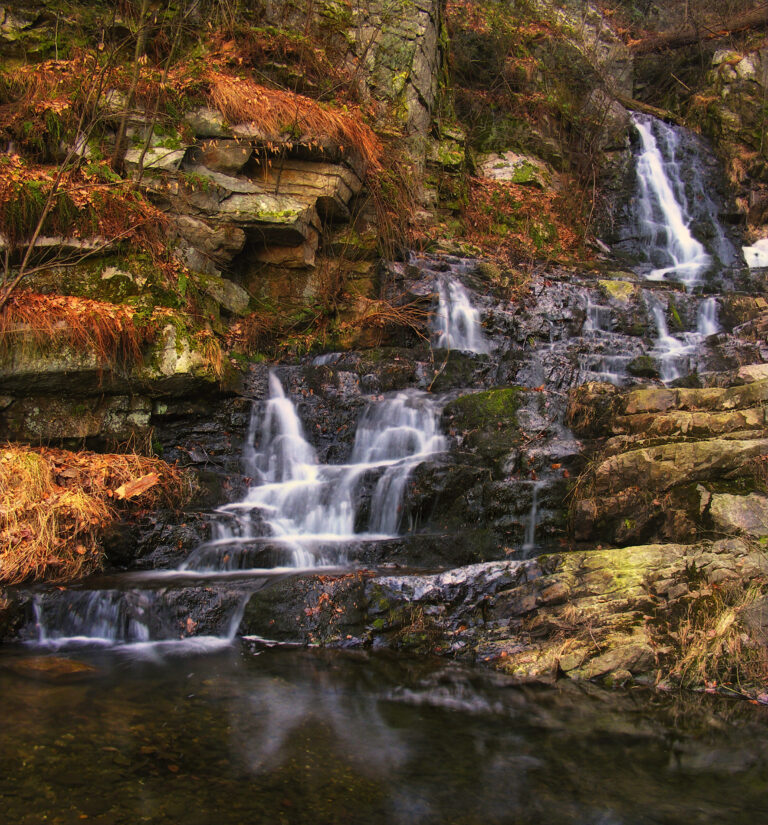
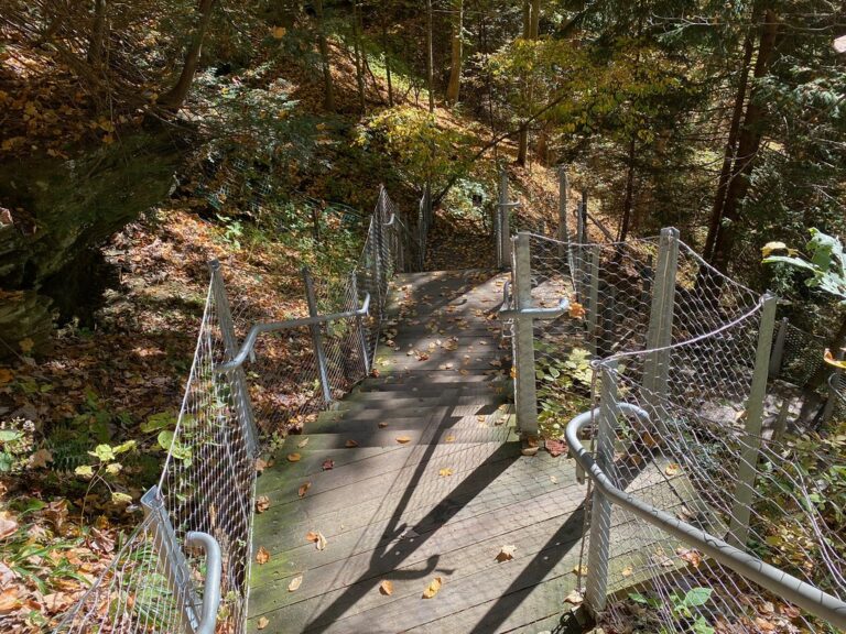
- On Buttermilk Creek
- 7 mi from Tunkhannock
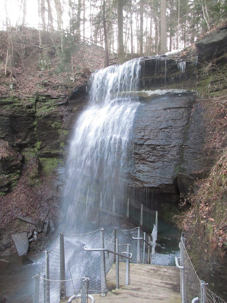
- On Hines Run
- 7 mi from Black Lick
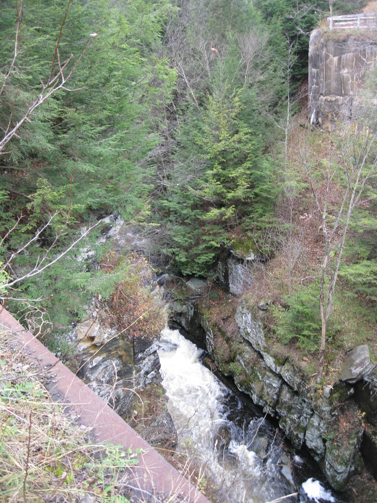
- Tallest drop 30 ft · 2 drops
- On Shohola Creek
- 6 mi from Sunrise Lake
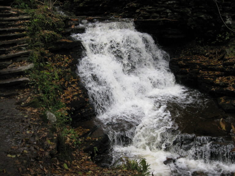
- Tallest drop 19 ft · 2 drops
- On Ganoga Glen Branch
- 14 mi from Harveys Lake
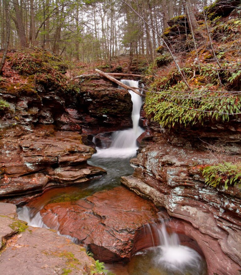
- Tallest drop 24 ft · 3 drops
- On Kitchen Creek
- 14 mi from Glen Lyon
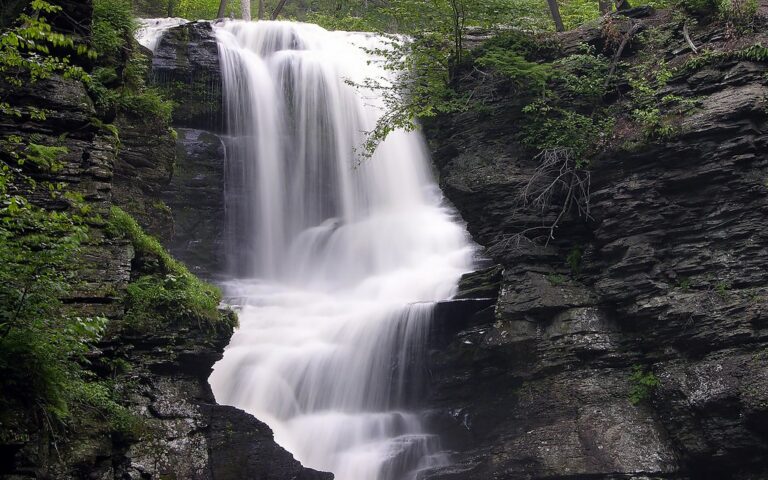
- On Dingmans Creek
- 1 mi from Birchwood Lakes
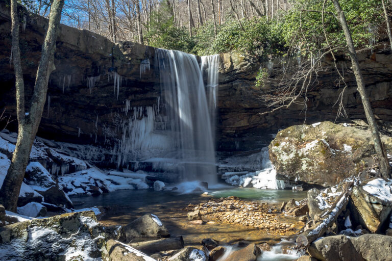
- On Cucumber Run
- 10 mi from Dunbar
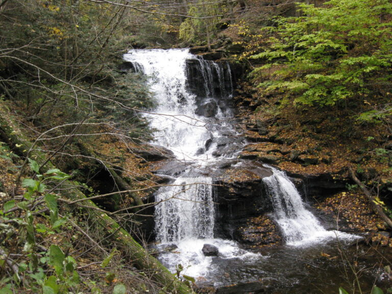
- Tallest drop 26 ft · 2 drops
- On Ganoga Glen Branch
- 14 mi from Harveys Lake
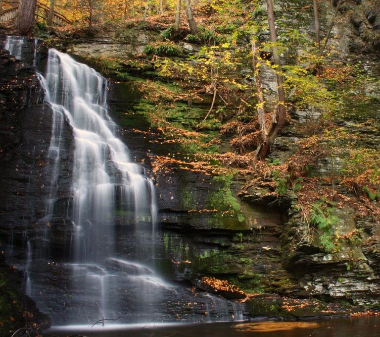
- On Pond Run Creek
- 2 mi from Saw Creek
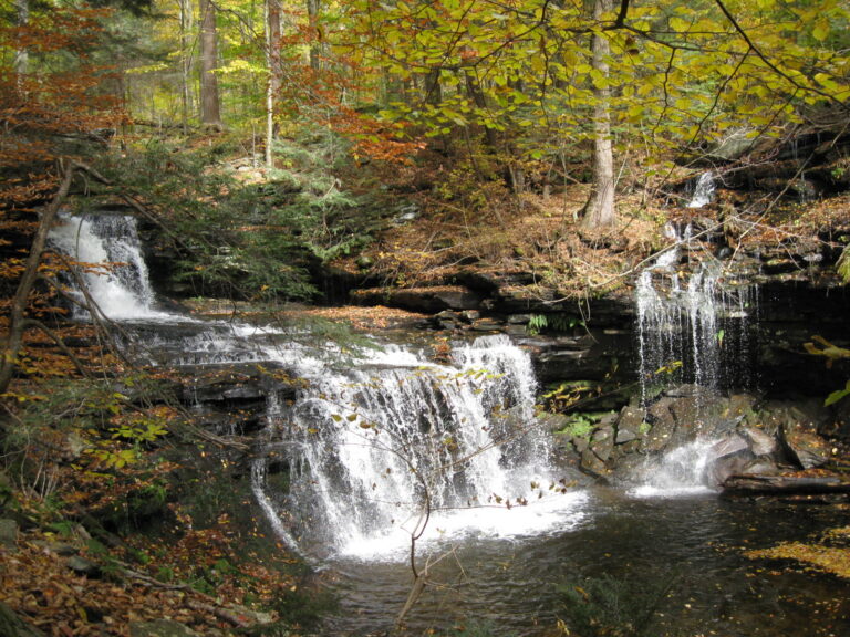
- Tallest drop 13 ft · 3 drops
- On Leigh Glen Branch
- 14 mi from Harveys Lake
Pennsylvania waterfalls, from the Poconos to the Laurel Highlands
Two different landscapes produced Pennsylvania's waterfalls. Across the glaciated Pocono Plateau in the northeast, creeks drop over alternating bands of hard sandstone and softer shale, from the Delaware Water Gap to Ricketts Glen State Park, where the ice age nearly doubled Kitchen Creek's drainage basin and cut the sluiceway that still feeds its cascades. In the southwest, the Youghiogheny River and Slippery Rock Creek cut gorges through the coal-bearing sandstone and shale of the Allegheny Plateau. In all, 275 named falls are recorded across 38 counties, with the largest share in the glaciated northeast.
Where the waterfalls are
Pike County leads with 48 listings, most inside Delaware Water Gap National Recreation Area along Dingmans and Raymondskill creeks, plus the privately run Bushkill Falls; Monroe County (22) and Wayne County (9) add falls across the wider Poconos.
East of the Susquehanna, the glaciated Endless Mountains hold a second cluster: Sullivan County (36) covers Loyalsock State Forest, and Luzerne County (35) holds most of Ricketts Glen State Park's 24 named falls. Wyoming, Bradford, Lycoming and Tioga counties add more. South along the Lehigh River, Carbon County (17) holds most of its falls on Glen Onoko Run inside Lehigh Gorge State Park.
In the southwest, the Laurel Highlands section of the Allegheny Plateau holds a third cluster: Fayette County has Ohiopyle State Park on the Youghiogheny River, with Westmoreland, Somerset, Cambria and Indiana counties nearby. Northwestern Pennsylvania's glaciated plateau holds a fourth cluster around Lawrence County and McConnells Mill State Park, with Mercer and Venango counties adding smaller, scattered falls.
Central and southeastern Pennsylvania's Ridge-and-Valley and Piedmont country has fewer, smaller falls, among them York and Lancaster, home to Conewago Falls on the Susquehanna.
Waterfalls worth the trip
- Raymondskill Falls drops 120 feet in three tiers down a hemlock ravine, a third-of-a-mile trail to two viewing platforms; roots and wet rock make the boardwalk slippery, and leaving it is not allowed.
- Fulmer Falls, 38 feet, anchors the 1.4-mile George W. Childs Park loop with Deer Leap Falls and Factory Falls; the park reopened in October 2024 after six years of storm-damage closure.
- Bushkill Falls, a privately run 75-foot drop marketed as the "Niagara of Pennsylvania," is a short trail from the visitor center, with a longer trail linking seven more falls on the property.
- Ganoga Falls, 89 feet (the park gives 94) and the tallest of Ricketts Glen's 24 named falls, anchors the 7.2-mile Falls Trail loop, rated most difficult for its wet, rocky steps; Harrison Wright Falls and a dozen others drop along the same loop.
- Adams Falls, 38 feet, sits apart from the main loop on Ricketts Glen's easy, 1-mile Evergreen Trail, signed suitable for children.
- Ohiopyle Falls, a 15-foot drop spanning the Youghiogheny River, is seen from an ADA-accessible deck; swimming above or below it is prohibited for the current. Nearby, Cucumber Falls fans 37 feet over sandstone on Cucumber Run.
- Hells Hollow Falls in McConnells Mill State Park drops 20 feet in three steps past a 19th-century lime kiln, a half-mile walk from the trailhead.
- Buttermilk Falls in Indiana County slides 40 feet over sandstone on what was once the retreat of Fred Rogers's grandfather, a short walk with steps down for a closer view.
When to go
Ricketts Glen's falls, fed by upstream lakes and marshes, run year-round but are lowest from late July through September; winter travel on the Falls Trail calls for ice-climbing gear or a park office check-in. Rain-fed drops like Cucumber Falls swell after a storm and thin out in a dry summer. Childs Park's lot closes each winter, from the first snow through April 15.
Fees, permits and closures
Pennsylvania's state parks and forests charge no entrance or parking fee, so Ricketts Glen, Ohiopyle, McConnells Mill and Indiana County's Buttermilk Falls are free. Delaware Water Gap National Recreation Area also charges no general entrance fee; since April 15, 2026 it collects $10 a vehicle at five developed river-access sites, none of them the Raymondskill or Childs Park trailheads. Bushkill Falls, privately run, raised its admission on September 24, 2026 to $24 for adults, $22 for seniors and active military, and $12 for children 4 to 10, with children 3 and under free.
Dingmans Falls and Silverthread Falls, on the same Dingmans Creek boardwalk, have been closed since 2025 for bridge and trail reconstruction, with no reopening date confirmed as of September 2026. Glen Onoko Falls Trail in Carbon County's Lehigh Gorge State Park has been closed since May 2019 over trail safety, affecting roughly ten named falls on Glen Onoko Run; the state is transferring the land from the Game Commission to state park management and rebuilding the trail, with no reopening date set.
Safety
Delaware Water Gap National Recreation Area bans swimming and wading at its named falls and closes the ground within 50 feet upstream of any brink; waterfall pools and cliffs have produced deaths and serious injuries. A hiker's body was found in Dingmans Creek above the falls in July 2007, and a teenager died at Bushkill Falls in August 2011. Ricketts Glen's Falls Trail stays wet and slick even in dry weather. Stay on marked trails and behind railings.
Waterfalls in Pennsylvania on the map
Numbers show how many sit in that area; zoom in or click to split them, click a marker for details.
Tallest waterfalls in Pennsylvania
- Silverthread Falls145 ftPike County
- Buttermilk Falls130 ftCarbon County
- Raymondskill Falls120 ftPike County
- Dingmans Falls115 ftPike County
- Pinchot Falls100 ftPike County
- Ganoga Falls89 ftLuzerne County
- Buck Hill Falls80 ftMonroe County
- Devils Falls80 ftLuzerne County
- Paupack Falls80 ftPike County
- Angel Falls75 ftSullivan County
Waterfalls by county
Pennsylvania has named waterfalls in 38 counties. The most are in Pike County (48), Sullivan County (36), Luzerne County (35), Monroe County (22), Carbon County (17), Lycoming County (9). Every county has its own page with a map and the tallest falls:
- Armstrong County 3
- Beaver County 1
- Bradford County 8
- Bucks County 2
- Cambria County 4
- Carbon County 17
- Chester County 1
- Clinton County 2
- Crawford County 1
- Dauphin County 1
- Erie County 1
- Fayette County 7
- Forest County 2
- Greene County 1
- Huntingdon County 1
- Indiana County 2
- Jefferson County 1
- Lackawanna County 3
- Lancaster County 1
- Lawrence County 9
- Luzerne County 35
- Lycoming County 9
- Mercer County 5
- Monroe County 22
- Northampton County 1
- Philadelphia County 2
- Pike County 48
- Schuylkill County 3
- Somerset County 4
- Sullivan County 36
- Susquehanna County 4
- Tioga County 6
- Venango County 5
- Warren County 2
- Wayne County 9
- Westmoreland County 4
- Wyoming County 8
- York County 3
Types of waterfalls in Pennsylvania
horsetail (45), plunge (21), veiling (12), dam (3), punchbowl (2). What the types mean is explained in the guide to waterfall types.
About the data
Of the 274 waterfalls in Pennsylvania, 228 have a measured height, 47 have coordinates verified against aerial imagery and 54 have photos. Heights are the total drop as recorded by the source; falls without a measurement are listed without one. Every page has the stream, the nearest town and distance, a map with directions and a review form for photos and notes.