Waterfalls in West Virginia
13 waterfalls in West Virginia across 8 counties, from the USGS dataset; 10 with a measured height. The tallest is Falls of Hills Creek at 55 ft. All US waterfalls.
State: West Virginia 47
- Alabama 97
- Arizona 66
- Arkansas 280
- California 1,039
- Colorado 345
- Connecticut 79
- Florida 3
- Georgia 298
- Idaho 249
- Illinois 20
- Indiana 24
- Iowa 8
- Kansas 24
- Kentucky 65
- Louisiana 6
- Maine 175
- Maryland 13
- Massachusetts 37
- Michigan 294
- Minnesota 43
- Mississippi 8
- Missouri 11
- Montana 252
- Nebraska 14
- Nevada 25
- New Hampshire 264
- New Jersey 5
- New Mexico 20
- New York 879
- North Carolina 495
- North Dakota 1
- Ohio 26
- Oklahoma 30
- Oregon 1,342
- Pennsylvania 274
- Rhode Island 5
- South Carolina 22
- South Dakota 10
- Tennessee 427
- Texas 71
- Utah 76
- Vermont 229
- Virginia 127
- Washington 2,596
- West Virginia 13
- Wisconsin 83
- Wyoming 267

- On New River
- 6 mi from Hinton
- Under 1 mi from Tornado

- 13 mi from Webster Springs
West Virginia's waterfalls, from the New River Gorge to the high Alleghenies
West Virginia's named waterfalls follow its rivers off the Allegheny Plateau and the higher Allegheny Mountains to its east, where the Monongahela, Potomac, Greenbrier, Elk, Tygart and Gauley rivers all begin. Thirteen listings spread across eight counties, from the New River Gorge to the high country around Monongahela National Forest.
Where the waterfalls are
Summers County leads with three listings in the New River Gorge, including Sandstone Falls; Fayette County downstream on the same river system holds Kanawha Falls near the New and Gauley rivers' confluence. In the high Alleghenies, Pocahontas County holds the Falls of Hills Creek inside Monongahela National Forest, and Randolph County has High Falls and Whitaker Falls. Webster and Pendleton counties add falls farther into the eastern highlands, while Kanawha County, near Charleston, holds two lowland falls on the Coal River. Tucker County holds Blackwater Falls, the state's best-known waterfall; Valley Falls State Park, with four falls on the Tygart Valley River near Fairmont, is another well-known stop.
Waterfalls worth the trip
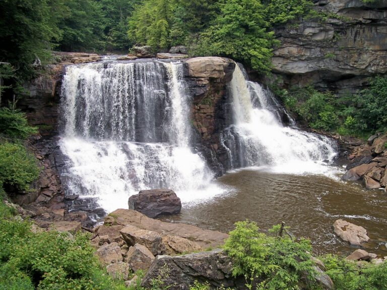
- Blackwater Falls, 50 feet where the Blackwater River drops into Blackwater Canyon near Davis, runs tea-colored from tannins in fallen hemlock and spruce needles; a boardwalk of more than 200 steps descends a quarter mile to the main deck, or a level, paved quarter-mile Gentle Trail reaches a second overlook. The park's own figure is 57 feet.
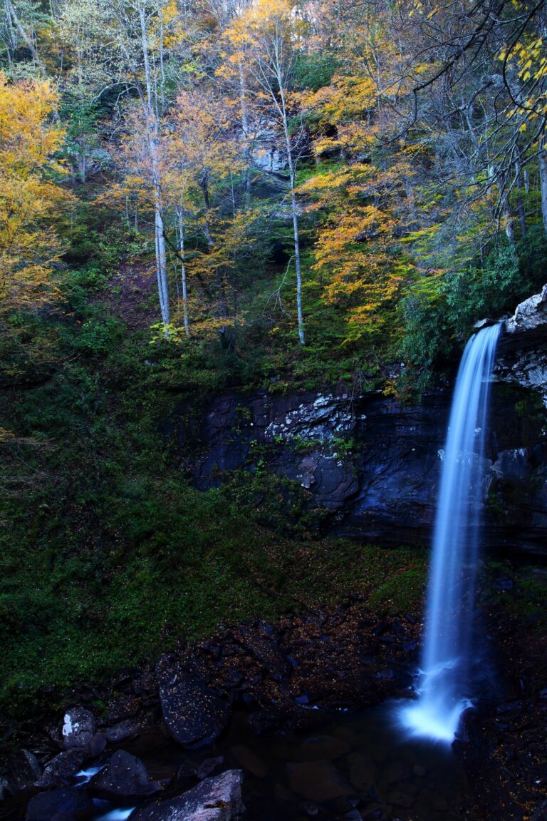
- Falls of Hills Creek, 55 feet, is the lowest of three falls on Hills Creek in a Monongahela National Forest scenic area; reaching it means 382 steps down a strenuous, 0.75-mile route, while the first 1,700 feet to the upper falls stays accessible. The lower trail reopened in April 2026 after boardwalk repairs.
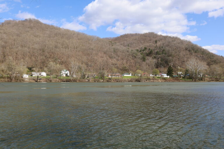
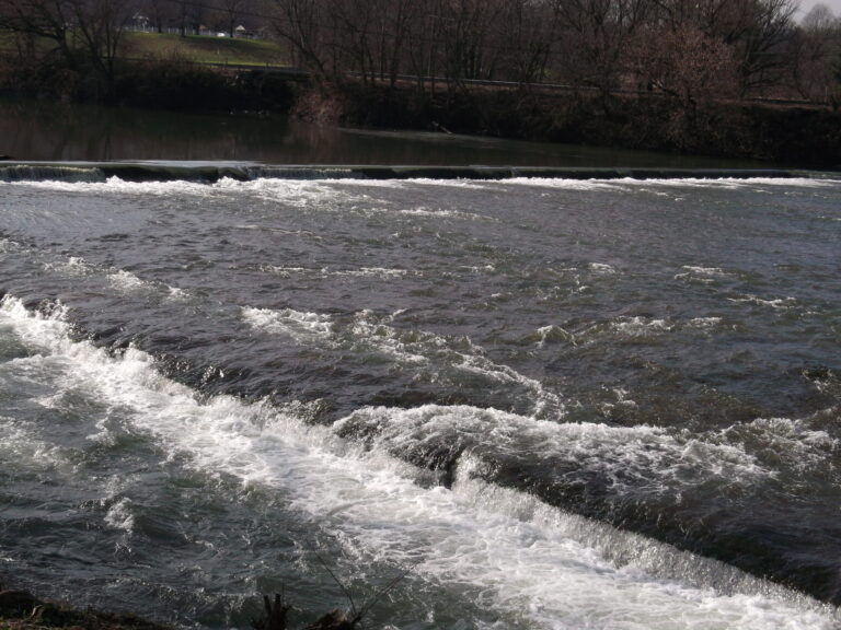
- Sandstone Falls, 20 feet, spreads the New River across islands over a 1,500-foot span in New River Gorge National Park and Preserve, reached by a free, quarter-mile accessible boardwalk from Hinton.
- Kanawha Falls, 15 feet, is a natural sandstone ledge across the Kanawha River near Gauley Bridge, altered by an upstream dam that diverts water for hydropower; it's visible from a roadside pull-off on US 60, no hike needed.
Access and closures
Sandstone Falls' boardwalk requires no fee or reservation. No day-use entrance charge is posted for Blackwater Falls State Park or the Falls of Hills Creek Scenic Area. The narrow River Road approach to Sandstone Falls from Hinton discourages vehicles longer than 25 feet. Flooding damaged US 60 near Kanawha Falls in mid-August 2026; check road conditions before counting on the roadside pull-off.
Safety
The Forest Service warns of slippery, steep ground at the Falls of Hills Creek, where dogs must stay leashed and camping is prohibited. At Sandstone Falls, the National Park Service warns of swift water and recommends a life jacket; a boater drowned there in 1994 after his boat capsized and he became entangled underwater. A kayaker flipped into a dangerous pocket at Kanawha Falls in September 2022 but reached an installed rescue chain and was pulled out.
Waterfalls in West Virginia on the map
Numbers show how many sit in that area; zoom in or click to split them, click a marker for details.
Tallest waterfalls in West Virginia
- Falls of Hills Creek55 ftPocahontas County
- Blackwater Falls50 ftTucker County
- Tecumseh Falls25 ftWebster County
- Sandstone Falls20 ftSummers County
- Kanawha Falls15 ftFayette County
- Tenskwatawa Falls15 ftWebster County
- High Falls12 ftRandolph County
- Lower Falls10 ftKanawha County
- Whitaker Falls6 ftRandolph County
- Brooks Falls5 ftSummers County
Waterfalls by county
West Virginia has named waterfalls in 8 counties. The most are in Summers County (3), Randolph County (2), Webster County (2), Kanawha County (2), Tucker County (1), Pocahontas County (1). Every county has its own page with a map and the tallest falls:
- Fayette County 1
- Kanawha County 2
- Pendleton County 1
- Pocahontas County 1
- Randolph County 2
- Summers County 3
- Tucker County 1
- Webster County 2
Types of waterfalls in West Virginia
dam (1), plunge (1). What the types mean is explained in the guide to waterfall types.
About the data
Of the 13 waterfalls in West Virginia, 10 have a measured height, 8 have coordinates verified against aerial imagery and 6 have photos. Heights are the total drop as recorded by the source; falls without a measurement are listed without one. Every page has the stream, the nearest town and distance, a map with directions and a review form for photos and notes.