Waterfalls in Tennessee
427 waterfalls in Tennessee across 50 counties, from the USGS dataset; 401 with a measured height. The tallest is Buckeye Falls at 395 ft. All US waterfalls.
State: Tennessee 47
- Alabama 97
- Arizona 66
- Arkansas 280
- California 1,039
- Colorado 345
- Connecticut 79
- Florida 3
- Georgia 298
- Idaho 249
- Illinois 20
- Indiana 24
- Iowa 8
- Kansas 24
- Kentucky 65
- Louisiana 6
- Maine 175
- Maryland 13
- Massachusetts 37
- Michigan 294
- Minnesota 43
- Mississippi 8
- Missouri 11
- Montana 252
- Nebraska 14
- Nevada 25
- New Hampshire 264
- New Jersey 5
- New Mexico 20
- New York 879
- North Carolina 495
- North Dakota 1
- Ohio 26
- Oklahoma 30
- Oregon 1,342
- Pennsylvania 274
- Rhode Island 5
- South Carolina 22
- South Dakota 10
- Tennessee 427
- Texas 71
- Utah 76
- Vermont 229
- Virginia 127
- Washington 2,596
- West Virginia 13
- Wisconsin 83
- Wyoming 267
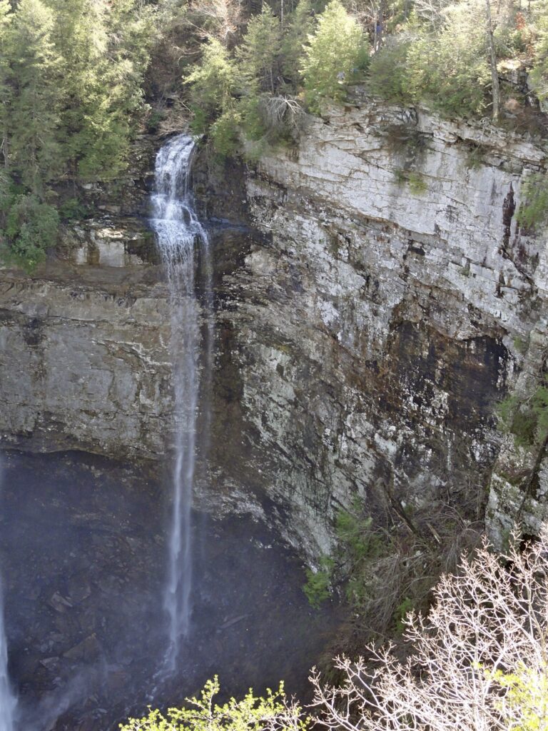
- On Coon Creek
- 8 mi from Spencer
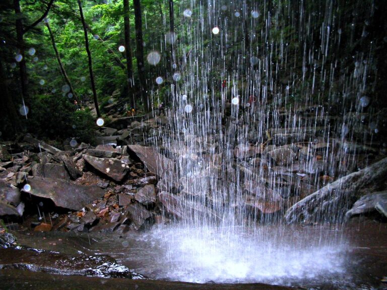
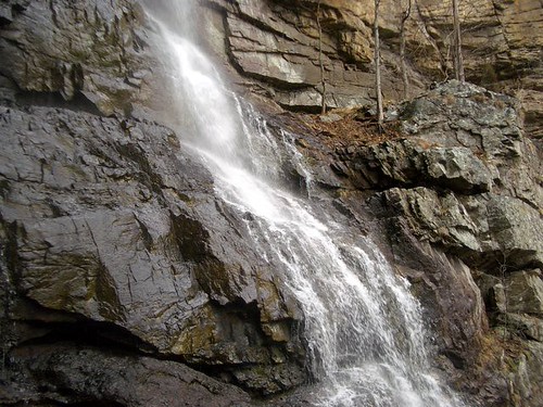
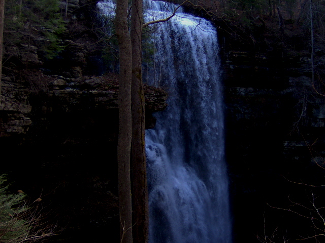
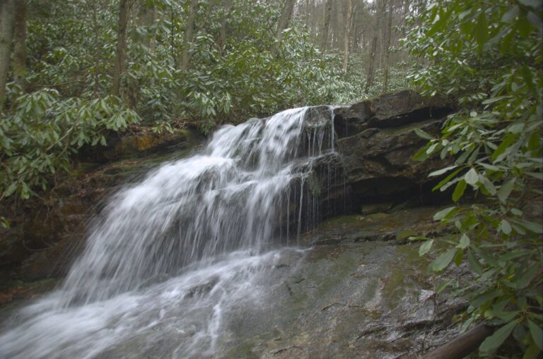
- Tallest drop 65 ft · 8 drops
- On Red Fork
- 6 mi from Unicoi
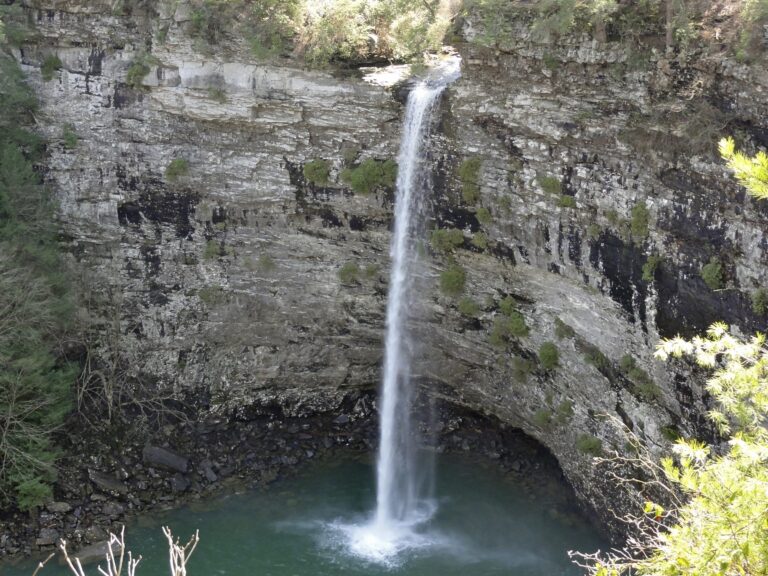
- On Rockhouse Creek
- 9 mi from Spencer
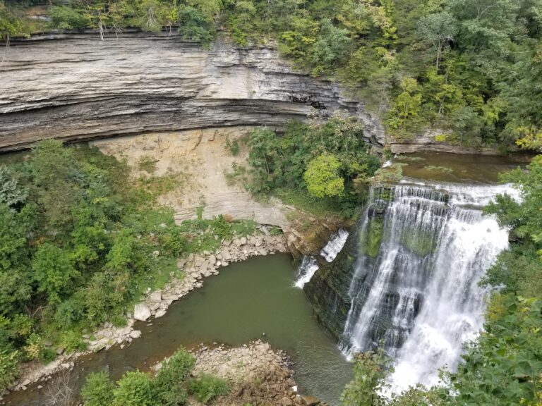
- On Falling Water River
- 8 mi from Baxter
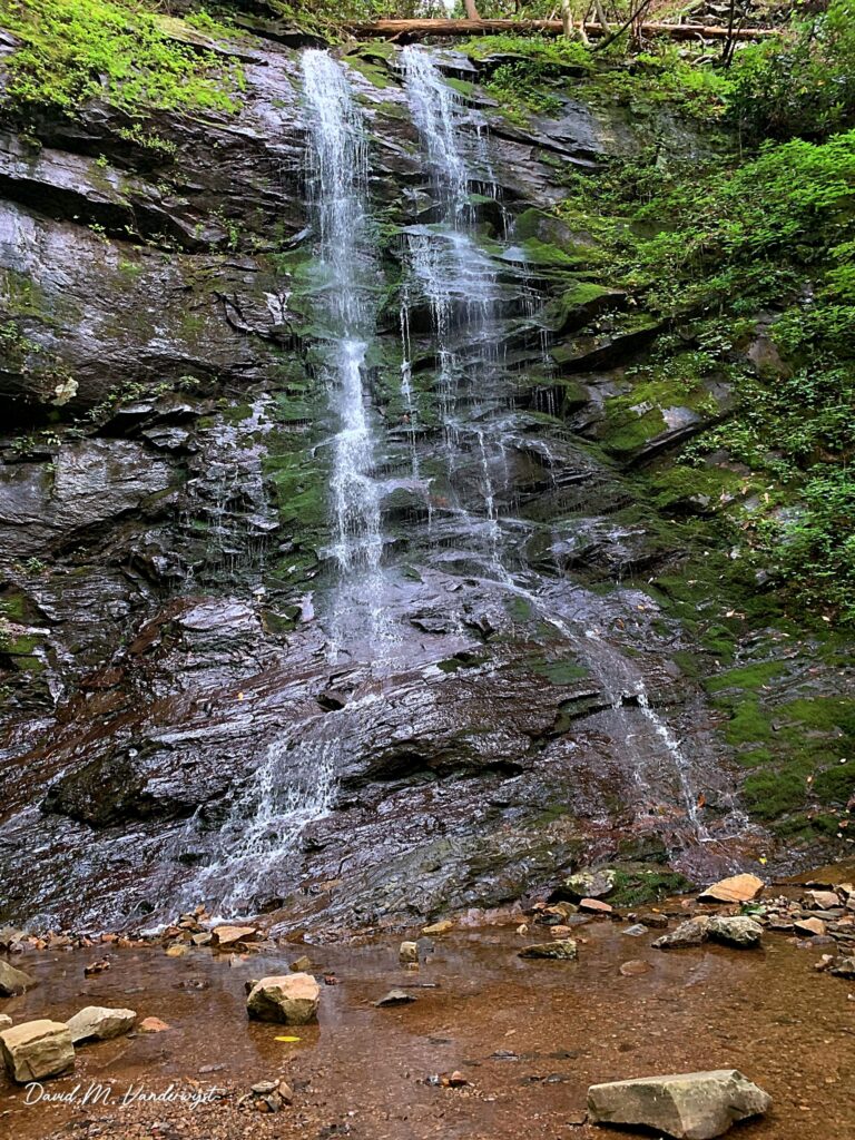
- On North Fork Sill Branch
- 6 mi from Banner Hill
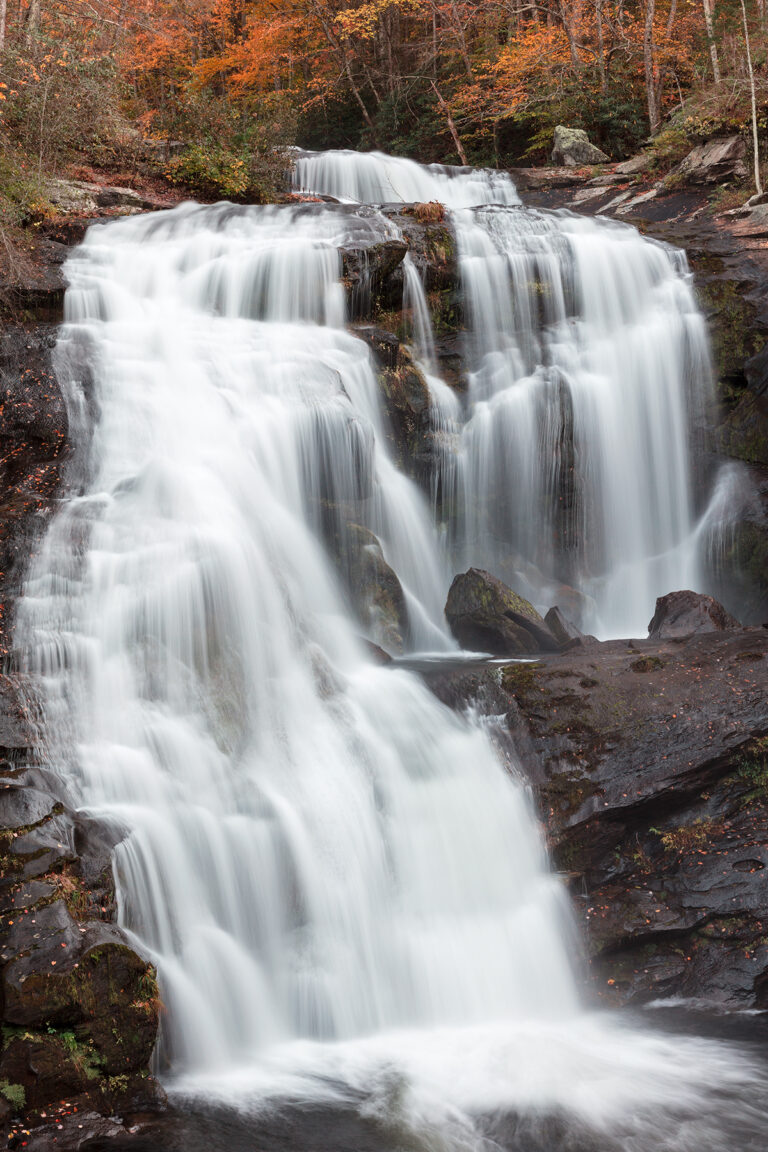
- Tallest drop 60 ft · 3 drops
- On Bald River
- 17 mi from Madisonville
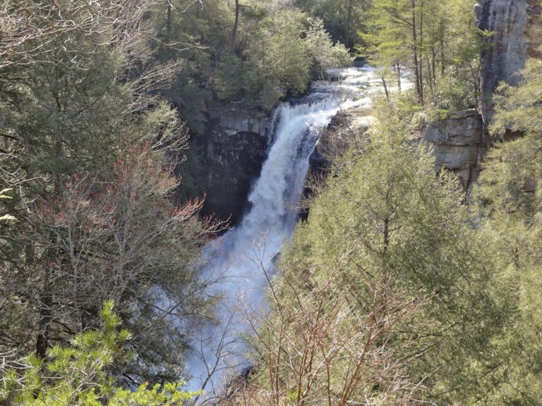
- 2 drops
- On Piney Creek
- 7 mi from Spencer
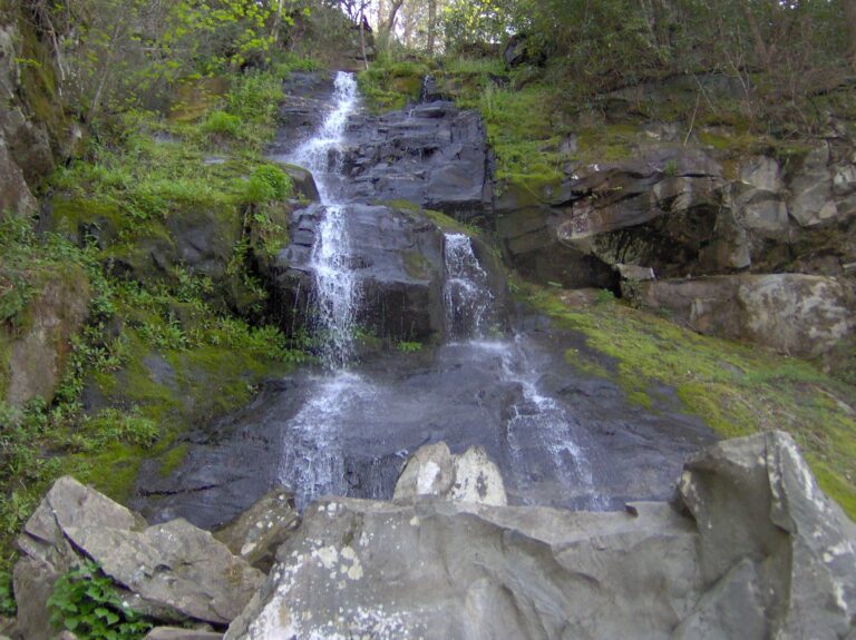
- On Lower Falling Branch
- 15 mi from Newport
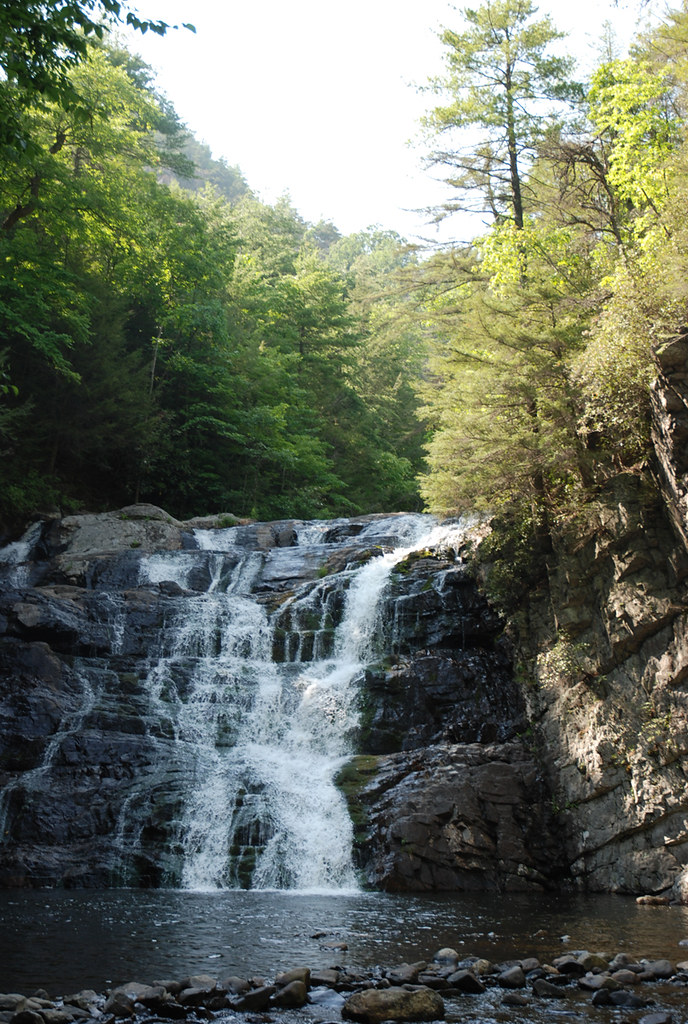
- On John McNabb Branch
- 5 mi from Lookout Mountain
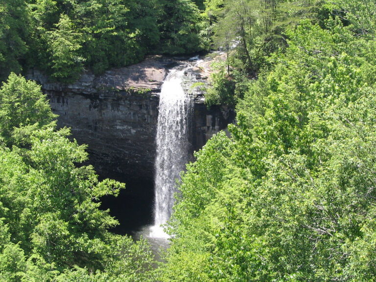
- On Little Gizzard Creek
- 6 mi from Tracy City

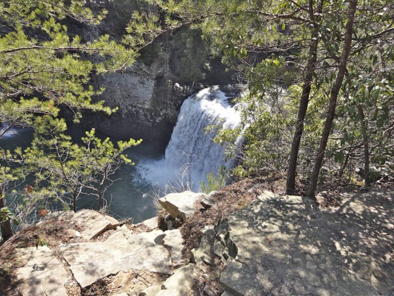
- On Cane Creek
- 9 mi from Spencer
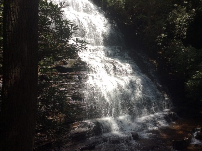
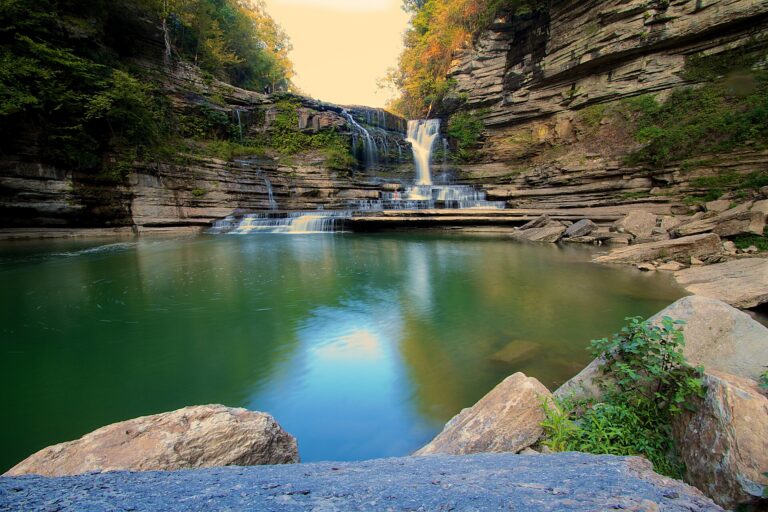
- Tallest drop 52 ft · 2 drops
- On Blackburn Fork
- 5 mi from Dodson Branch
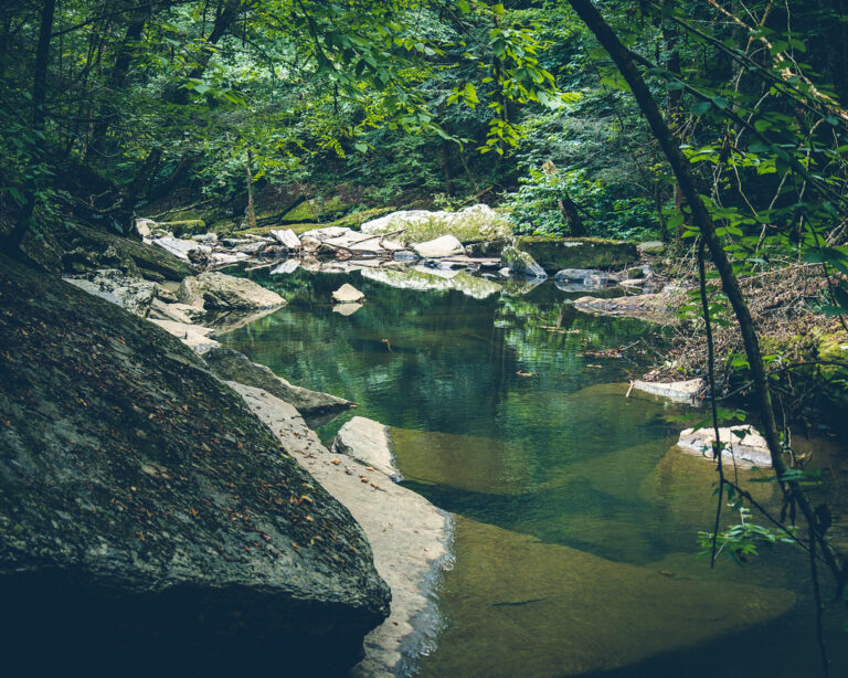
- Tallest drop 50 ft · 2 drops
- On Firescald Creek
- 2 mi from Altamont
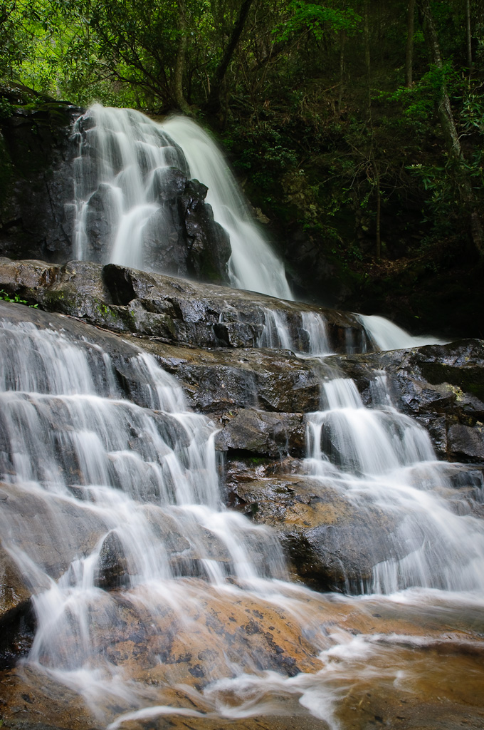
- Tallest drop 25 ft · 3 drops
- On Laurel Branch
- 5 mi from Gatlinburg

- Tallest drop 50 ft · 4 drops
- On Bruce Creek
- 2 mi from Caryville
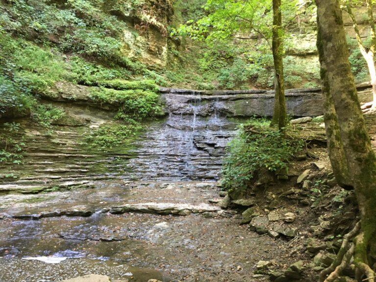
- Tallest drop 30 ft · 2 drops
- On Jackson Branch
- 11 mi from Centerville
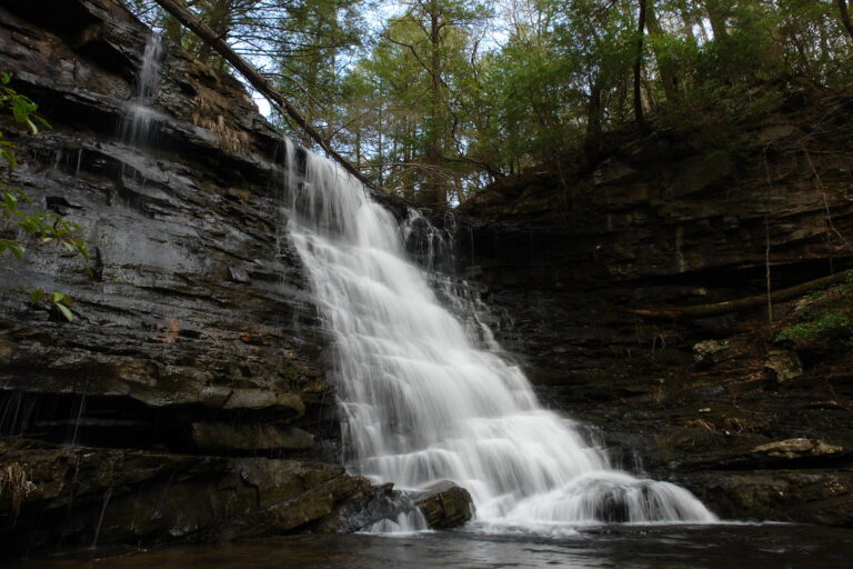
- Tallest drop 30 ft · 2 drops
- 2 mi from Altamont
- On Laurel Fork
- 6 mi from Roan Mountain
Tennessee waterfalls: where to go and when
Tennessee's waterfalls are a story of two landscapes. Most of the 427 named falls in the state pour off the edge of the Cumberland Plateau and the Highland Rim, where streams cut through a hard sandstone cap into soft shale and leave the rock overhanging the gorge below. The rest tumble down the old, wet mountains of the Smokies and the Cherokee National Forest on the North Carolina line. State parks hold many of the best-known falls, and entry to them is free.
Where the waterfalls are
The Cumberland Plateau runs across the middle of the state and holds the tallest and most dramatic falls. Fall Creek Falls State Park in Van Buren County has several in one gorge, Savage Gulf and the South Cumberland parks in Grundy County and Marion County have more, and White County hides Virgin Falls, which comes out of a cave and disappears into another.
Closer to Nashville, the Eastern Highland Rim has wide, stepped falls on rivers rather than creeks: Burgess Falls in Putnam County, Cummins Falls in Jackson County and Rock Island in Warren County. In the east, Sevier County has more listed falls than any other county in the state, most of them inside Great Smoky Mountains National Park, and the Cherokee National Forest adds falls from Monroe County north to Carter County.
Waterfalls worth the trip
- Fall Creek Falls is the state's showpiece: 203 feet by lidar survey, though the state park still gives 256. The overlook is steps from the road; the trail to the base is only 0.35 mile each way but steep and strenuous on the climb back. Rockhouse Falls and Cane Creek Falls share a pool a short drive away in the same park.
- Burgess Falls is the last and biggest of four falls on the Falling Water River, all passed on a 1.5-mile loop.
- Cummins Falls is a broad, stepped fall with a swimming pool at the base. An overlook trail needs no permit; the half-mile route up the riverbed to the pool does.
- Virgin Falls, 120 feet, rewards a 9-mile round trip that drops about 900 feet into the gorge and climbs back out; plan most of a day.
- Foster Falls has a paved overlook by the picnic area and a trail to a plunge pool below the 70-foot drop.
- Grotto Falls in the Smokies is the only fall in the park with a trail running behind it, 2.6 miles round trip from the Roaring Fork Motor Nature Trail.
- Ramsay Cascades, the tallest waterfall in the national park, is a hard 8-mile round trip with more than 2,100 feet of climbing from Greenbrier.
- Bald River Falls can be seen from the car on Tellico River Road, and a new bridge with a viewing platform opened in 2025.
When to go
Spring is the best season across the state, when rain and snowmelt fill the plateau streams, and the state parks run guided waterfall hikes every spring. By late summer and early autumn many plateau falls, Virgin Falls among them, shrink to a trickle, and swimming holes get shallow in drought. In the Smokies the Roaring Fork Motor Nature Trail to Grotto Falls closes for part of the year. River gorges below dams behave differently: at Rock Island the gorge closes whenever the dam upstream is releasing water.
Parking, permits and closures
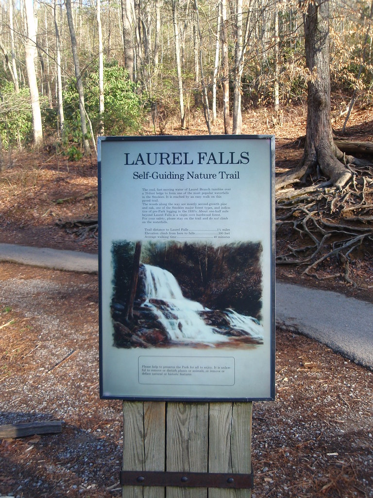
Tennessee State Parks charge no entrance fee, and hiking to the falls is free; Cummins Falls is the exception, where entering the gorge takes a permit booked online. At Burgess Falls the upper parking lot is closed for construction and the stairs to the base were removed after flooding, so the falls are seen from the rim. In the Smokies entry is free, but any car parked for more than 15 minutes needs a parking tag: $5 a day, $15 a week or $40 a year, and tags can't be bought on the Roaring Fork road itself. The popular Laurel Falls trail has been closed since January 2025 for rebuilding, and the park now expects it to reopen in 2027.
Safety
Plateau gorges flood fast. In 2017 a flash flood at Cummins Falls trapped about 40 people and two drowned, which is why the gorge now runs on permits and closes when the river rises. In the Smokies drowning is among the leading causes of death, and the park asks visitors not to climb falls or swim near them; at Ramsay Cascades climbing to the top has killed several hikers. Jumping from falls and cliffs is banned in the state parks.
Waterfalls in Tennessee on the map
Numbers show how many sit in that area; zoom in or click to split them, click a marker for details.
Tallest waterfalls in Tennessee
- Buckeye Falls395 ftUnicoi County
- Lester Prong Falls350 ftSevier County
- Fall Creek Falls203 ftVan Buren County
- Painter Creek Falls200 ftWashington County
- Coon Creek Falls191 ftVan Buren County
- Camp Creek Falls150 ftGreene County
- Hendrix Creek Falls150 ftMarion County
- Rainbow Falls145 ftOverton County
- Power Line Falls140 ftHamilton County
- Buzzard Roost Falls130 ftCocke County
Waterfalls by county
Tennessee has named waterfalls in 50 counties. The most are in Sevier County (37), Monroe County (29), Grundy County (27), White County (21), Unicoi County (20), Blount County (20). Every county has its own page with a map and the tallest falls:
- Anderson County 2
- Bedford County 1
- Bledsoe County 3
- Blount County 20
- Campbell County 4
- Cannon County 1
- Carter County 17
- Cocke County 4
- Coffee County 15
- Cumberland County 6
- DeKalb County 6
- Fentress County 11
- Franklin County 12
- Grainger County 6
- Greene County 14
- Grundy County 27
- Hamilton County 15
- Hancock County 2
- Hardin County 1
- Hawkins County 5
- Hickman County 5
- Jackson County 8
- Johnson County 4
- Knox County 1
- Lawrence County 2
- Lewis County 4
- Lincoln County 1
- Marion County 15
- Maury County 1
- Monroe County 29
- Moore County 1
- Morgan County 14
- Overton County 7
- Perry County 1
- Pickett County 2
- Polk County 10
- Putnam County 8
- Rhea County 14
- Roane County 1
- Scott County 18
- Sequatchie County 2
- Sevier County 37
- Sullivan County 4
- Unicoi County 20
- Union County 1
- Van Buren County 8
- Warren County 7
- Washington County 5
- Wayne County 4
- White County 21
Types of waterfalls in Tennessee
tiered (80), plunge (74), cascade (43), block (38), horsetail (34), fan (21). What the types mean is explained in the guide to waterfall types.
About the data
Of the 427 waterfalls in Tennessee, 401 have a measured height, 51 have coordinates verified against aerial imagery and 40 have photos. Heights are the total drop as recorded by the source; falls without a measurement are listed without one. Every page has the stream, the nearest town and distance, a map with directions and a review form for photos and notes.