Waterfalls in California
1,039 waterfalls in California across 49 counties, from the USGS dataset; 889 with a measured height. The tallest is Yosemite Falls at 2,425 ft. All US waterfalls.
State: California 47
- Alabama 97
- Arizona 66
- Arkansas 280
- California 1,039
- Colorado 345
- Connecticut 79
- Florida 3
- Georgia 298
- Idaho 249
- Illinois 20
- Indiana 24
- Iowa 8
- Kansas 24
- Kentucky 65
- Louisiana 6
- Maine 175
- Maryland 13
- Massachusetts 37
- Michigan 294
- Minnesota 43
- Mississippi 8
- Missouri 11
- Montana 252
- Nebraska 14
- Nevada 25
- New Hampshire 264
- New Jersey 5
- New Mexico 20
- New York 879
- North Carolina 495
- North Dakota 1
- Ohio 26
- Oklahoma 30
- Oregon 1,342
- Pennsylvania 274
- Rhode Island 5
- South Carolina 22
- South Dakota 10
- Tennessee 427
- Texas 71
- Utah 76
- Vermont 229
- Virginia 127
- Washington 2,596
- West Virginia 13
- Wisconsin 83
- Wyoming 267
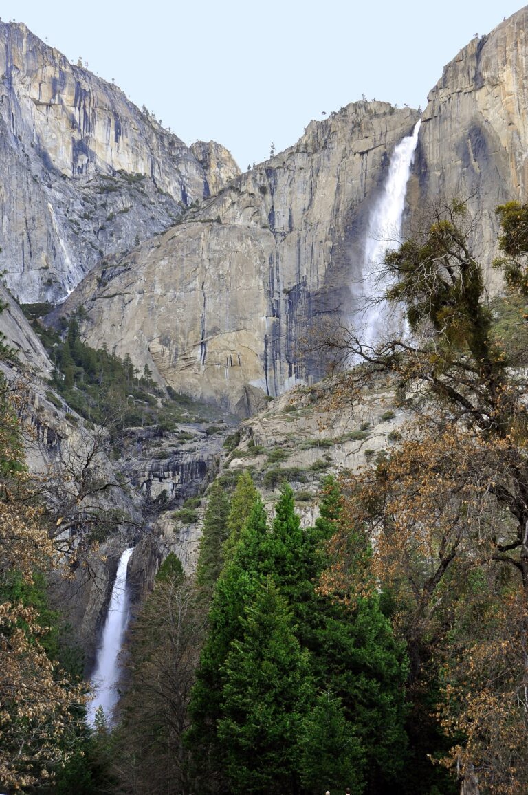
- Tallest drop 1,430 ft · 6 drops
- On Yosemite Creek
- 2 mi from Yosemite Valley
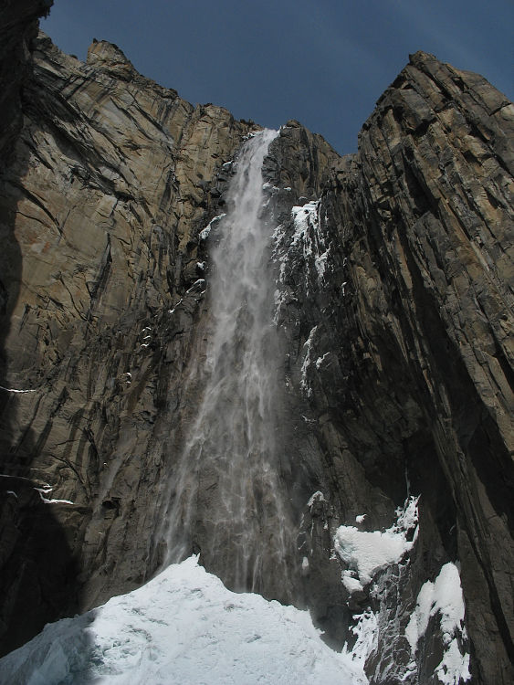
- On Ribbon Creek
- 4 mi from Yosemite Valley
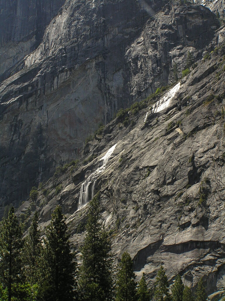
- 5 drops
- On Gossamer Creek
- Under 1 mi from Yosemite Valley
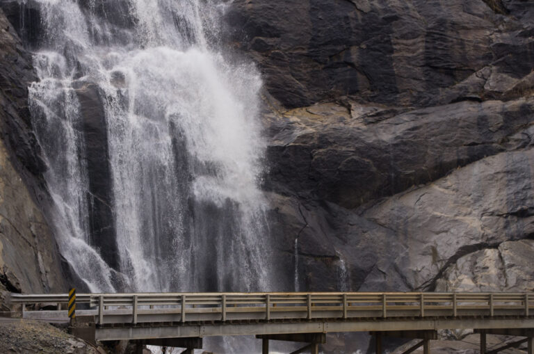
- Tallest drop 520 ft · 9 drops
- On Stevenson Creek
- 9 mi from Auberry
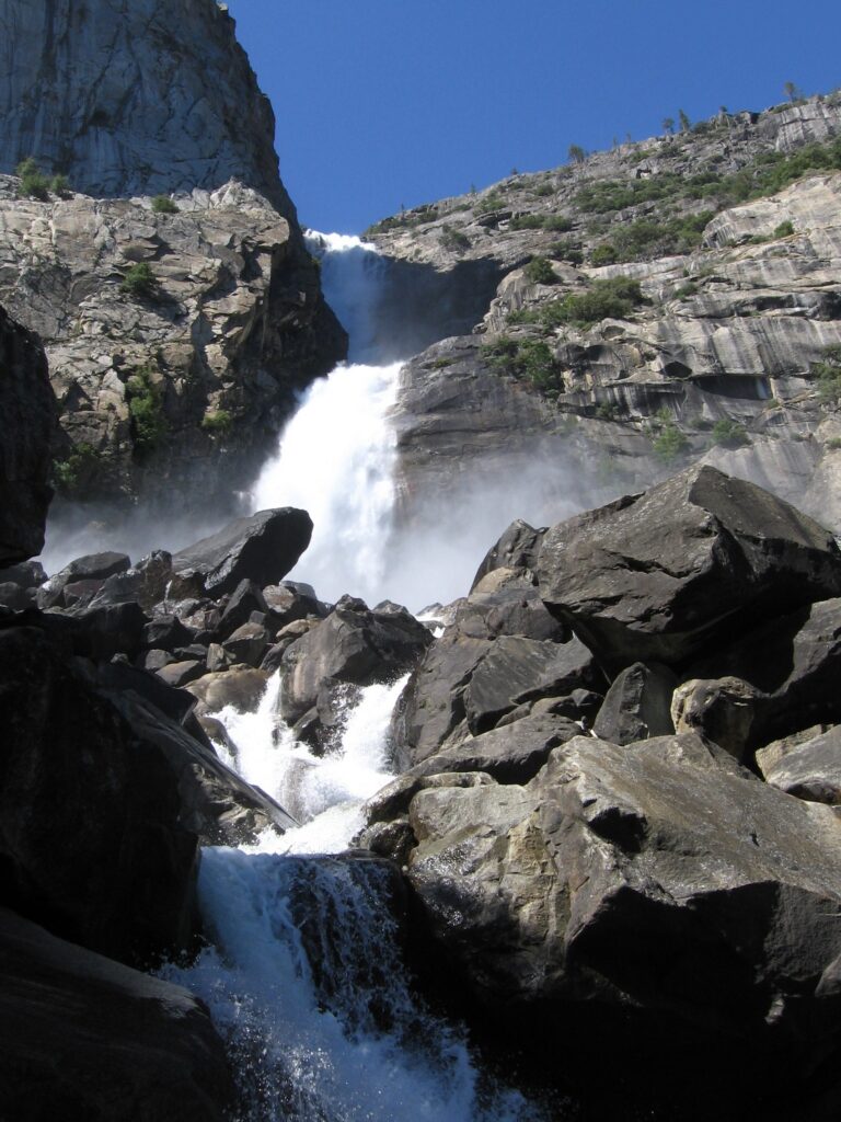
- On Falls Creek
- 19 mi from Yosemite Valley
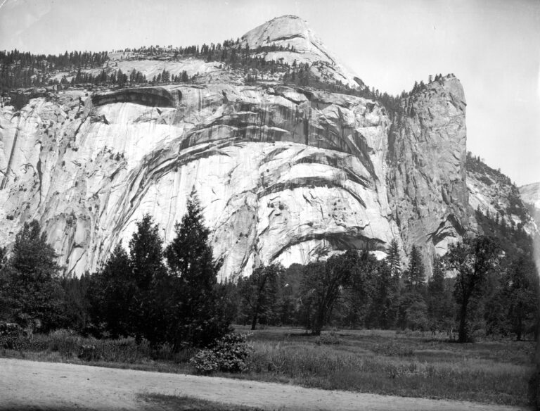
- On Royal Arch Creek
- Under 1 mi from Yosemite Valley
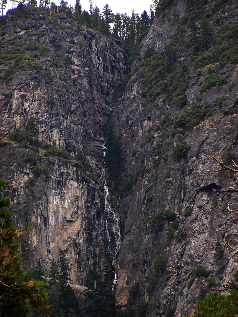
- Tallest drop 1,180 ft
- On Lehamite Creek
- 2 mi from Yosemite Valley
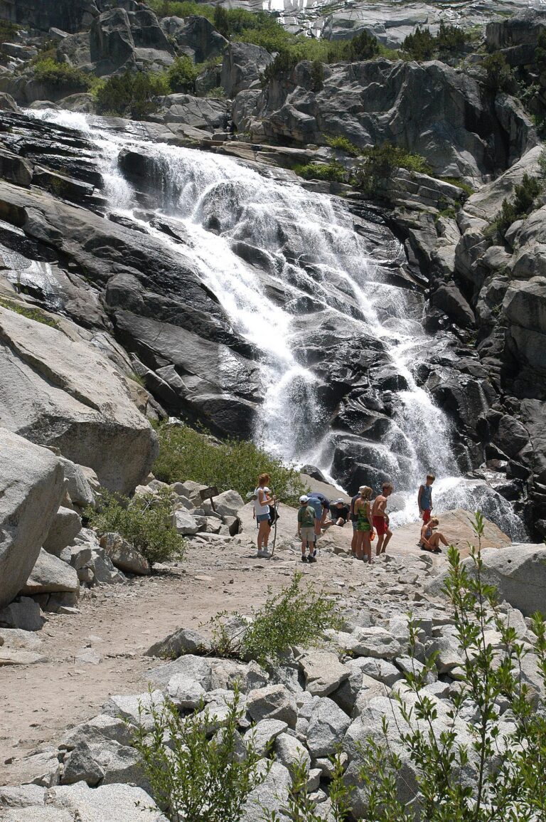
- On Marble Fork Kaweah River
- 17 mi from Three Rivers
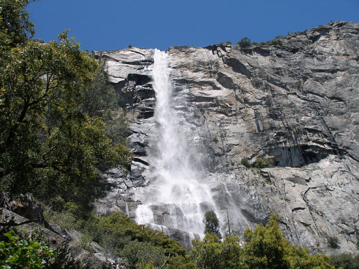
- On Falls Creek
- 19 mi from Yosemite Valley
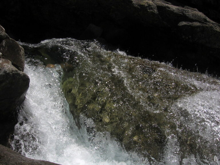
- Tallest drop 440 ft · 7 drops
- On Pyramid Creek
- 10 mi from South Lake Tahoe
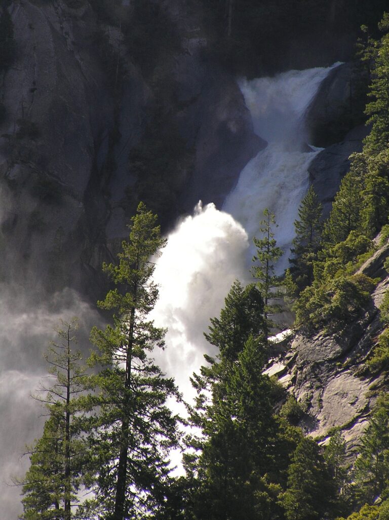
- 11 drops
- On Snow Creek
- 3 mi from Yosemite Valley
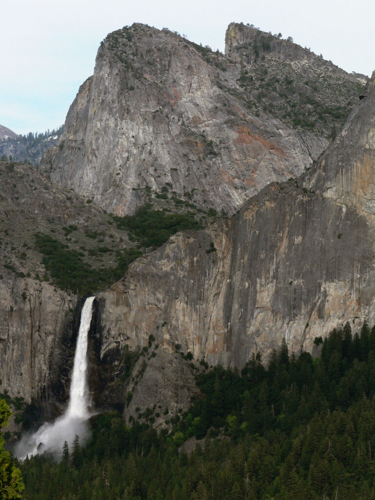
- On Bridalveil Creek
- 4 mi from Yosemite Valley
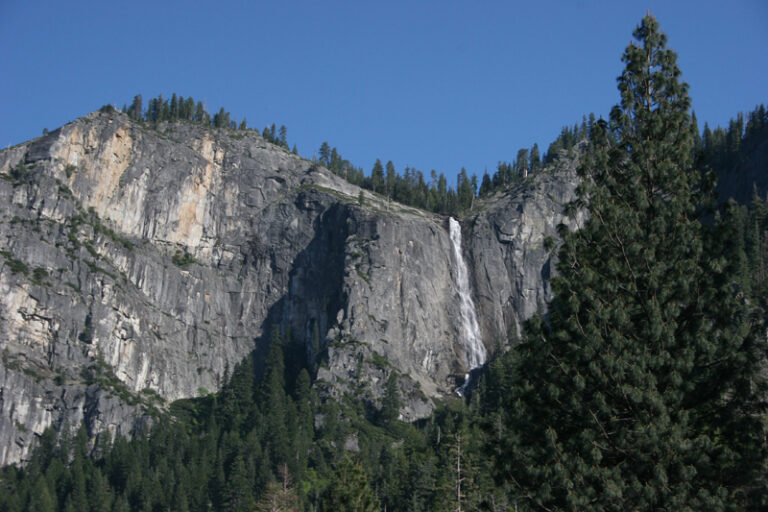
- On Meadow Brook
- 6 mi from Yosemite Valley
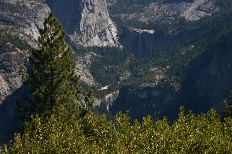
- On Merced River
- 3 mi from Yosemite Valley
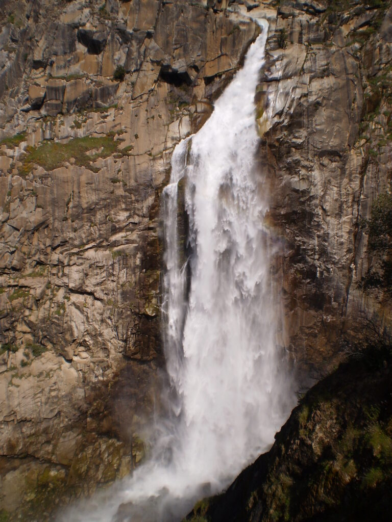
- On Fall River
- 7 mi from Berry Creek
- 6 drops
- 19 mi from Big Pine
- 4 drops
- On Tuolumne River
- 14 mi from Yosemite Valley
- On Illilouette Creek
- 2 mi from Yosemite Valley
- Tallest drop 145 ft · 4 drops
- 10 mi from Rancho Cucamonga
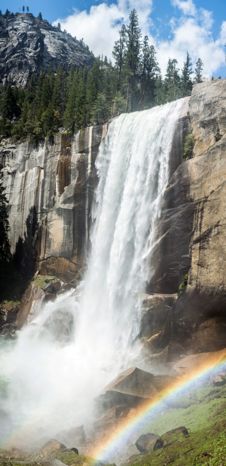
- On Merced River
- 2 mi from Yosemite Valley
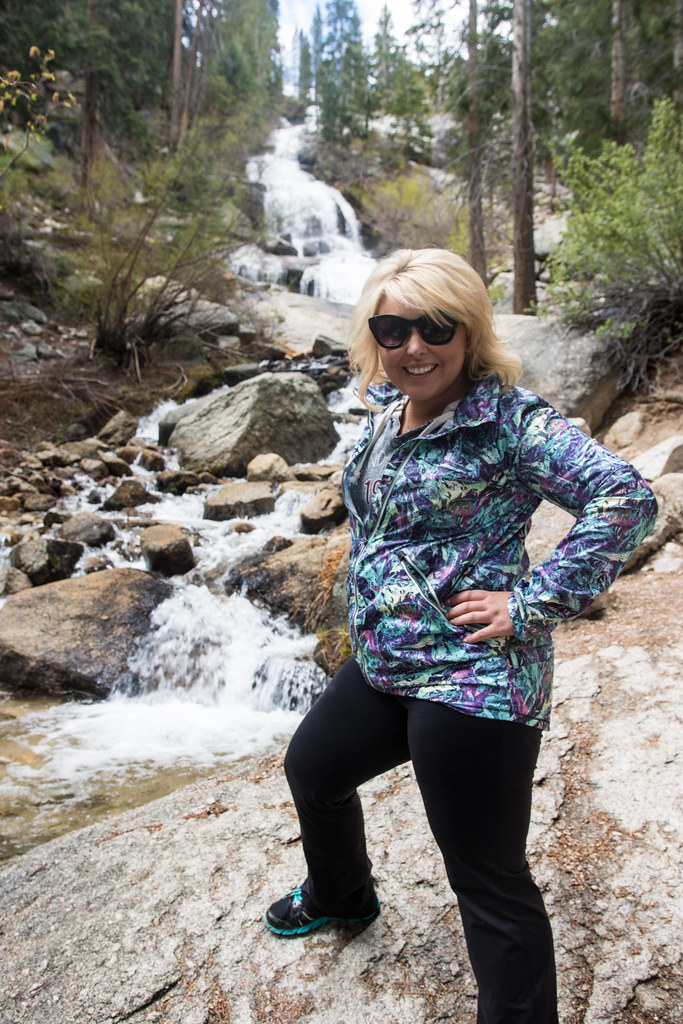
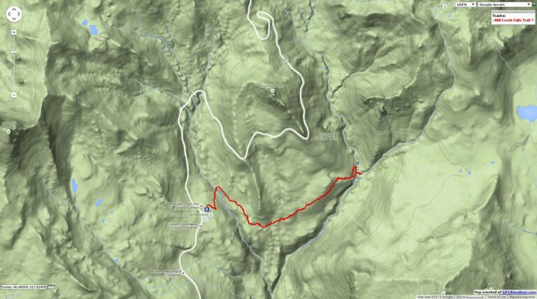
- On Mill Creek
- 10 mi from Pollock Pines
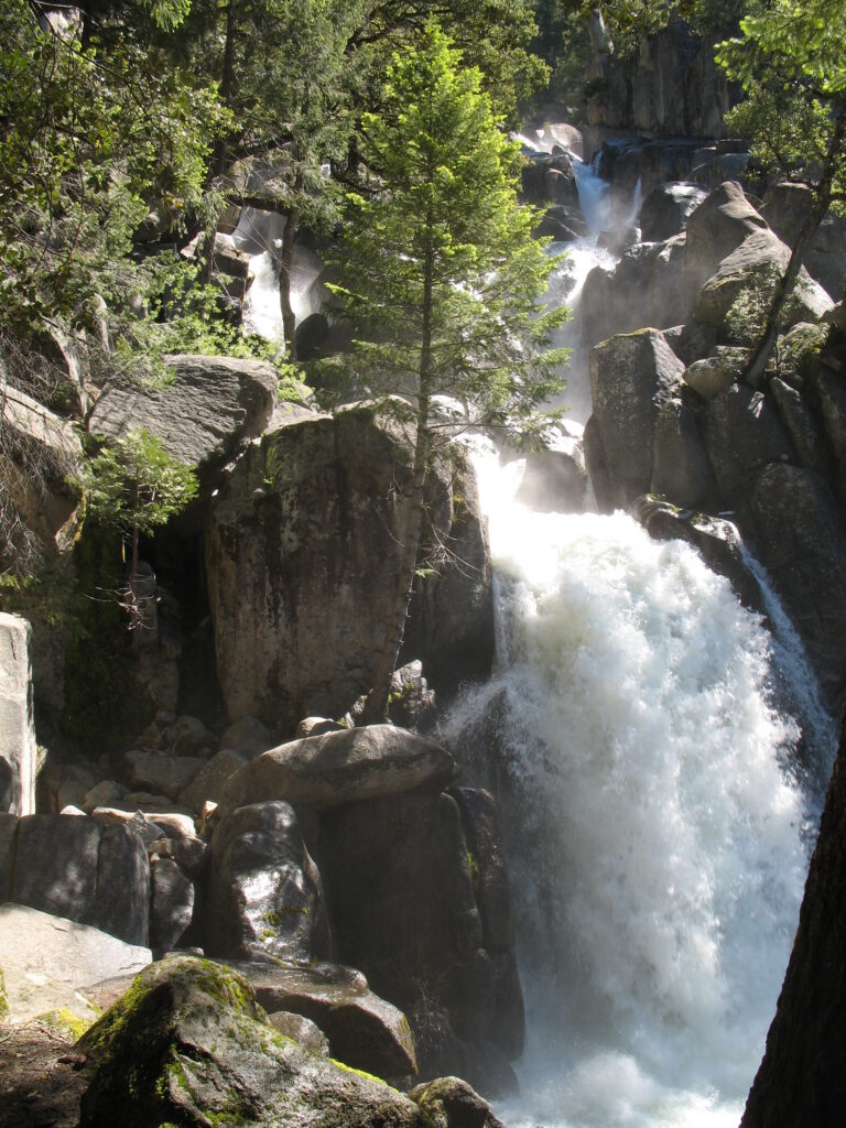
- On Chilnualna Creek
- 12 mi from Yosemite Valley
California's waterfalls, from glacial granite to the edge of the Pacific
Glaciers, volcanoes and a young, rising coastline give California nearly every kind of waterfall setting there is. Granite hanging valleys cut by Ice Age ice hold the state's tallest drops around Yosemite; porous volcanic rock in the southern Cascades feeds falls that never run dry; and on two stretches of coast, creeks drop straight onto the sand or into the surf. California records 1,039 named waterfalls across 49 counties, concentrated above all in and around Yosemite, Kings Canyon and Sequoia national parks.
Where the waterfalls are
The Sierra Nevada carries most of the state's falls. Fresno County, Tulare County, Tuolumne County and Madera County hold the national-forest and national-park backcountry around Kings Canyon, Sequoia and northern Yosemite, while Mariposa County holds Yosemite Valley itself. Further north, granite basins around Lake Tahoe fill Placer County and El Dorado County, and volcanic country east of the crest holds Mono County and Inyo County.
The southern Cascades and northern Sierra foothills add a second cluster: Shasta County and Siskiyou County around Mount Shasta, and Butte County and Plumas County to the south. On the coast, Big Sur gives Monterey County its falls, and Marin County has the North Coast's, inside Point Reyes National Seashore. In Southern California, chaparral canyons in the national forests hold most of the falls in Los Angeles County and San Diego County.
Waterfalls worth the trip
- Yosemite Falls, 2,425 feet in three tiers, is the tallest waterfall in California and one of the tallest in North America. A paved loop, 1 mile round trip, reaches the base; the climb to the top is 7.2 miles round trip.
- Bridalveil Fall drops 620 feet at the entrance to Yosemite Valley and, fed by a basin to the south, flows all year; the paved path to the platform is a half-mile round trip.
- Vernal Fall, 290 feet, and Nevada Fall, 594 feet, form the Merced River's "giant staircase" on the Mist Trail; reaching the top of Nevada Fall is a 5.4-mile round trip with about 2,000 feet of climbing.
- Horsetail Falls on Pyramid Creek near Lake Tahoe drops 815 feet over seven lake-fed granite steps that run all year; the rough scramble to the base is a 2.8- to 3.3-mile round trip.
- Feather Falls, 410 feet in Plumas National Forest, reopened in October 2025 after its fire-damaged bridges and overlook were rebuilt; the loop trail is 8.7 miles round trip.
- Burney Falls, 114 feet over volcanic springs (the state park's own sign gives 129), is a short walk from the parking lot at McArthur-Burney Falls Memorial State Park.
- McWay Falls, 80 feet, drops onto a beach at Julia Pfeiffer Burns State Park; its overlook trail is closed in 2026 for repairs and fire damage. Alamere Falls, 40 feet, reaches the ocean directly at the end of a roughly 13.2-mile round trip from the Palomarin trailhead at Point Reyes, on a beach route passable only at low tide.
When to go
Snowmelt falls in the high Sierra — Yosemite Falls, Vernal Fall and Nevada Fall among them — run strongest from March through June and largely disappear by late summer. Spring- and lake-fed falls run all year: Bridalveil, Horsetail Falls, Burney Falls and McWay Falls flow through summer and winter alike. Feather Falls peaks from January through June, and since wildfire burned the shade off its trail, a summer hike there now runs 10 to 20 degrees hotter. At Point Reyes, Alamere Falls is easiest to reach from late September into early November, when the beach route carries the most sand and skies are clearest.
Fees, permits and closures
Yosemite charges $35 per vehicle for seven days or $20 per person on foot or bicycle, plus $100 for non-US residents 16 and older without an annual or America the Beautiful pass; in 2026 the park is not using a timed-entry reservation system. California State Parks charge $10 a vehicle for day use at McWay Falls and Burney Falls, and Burney Falls requires weekend and holiday reservations from mid-May through late September 2026. National forest trailheads add their own charges, from $10 a day at Pyramid Creek and Feather Falls to a $5 Adventure Pass at Switzer Falls and a $6 Recreation.gov permit for Cedar Creek Falls in San Diego County.
Wildfire has reshaped access at both ends of the state. Eaton Canyon Falls near Los Angeles has been closed since the January 2025 Eaton Fire, through 2027, and two 2026 fires near Big Sur keep Julia Pfeiffer Burns' backcountry closed east of Highway 1. Mossbrae Falls near Dunsmuir has no legal public trail: the only approach follows an active rail line, and the city's planned path is still unfunded.
Safety
Several of California's best-known falls have proven fatal. Three hikers were swept over Vernal Fall in July 2011, and at least 17 people have gone over the same fall since 1924; a hiker was swept over Nevada Fall in June 2026 after a swift-water incident above the brink. A visitor died in 2019 after climbing the wet boulders above Bridalveil Fall, and a man died in 2018 after jumping from Burney Falls, where swimming at the base is banned. Stay on marked trails and behind railings, and keep back from the edge of any fall.
Waterfalls in California on the map
Numbers show how many sit in that area; zoom in or click to split them, click a marker for details.
Tallest waterfalls in California
- Yosemite Falls2,425 ftMariposa County
- East Snow Mountain Falls2,200 ftPlacer County
- Sentinel Fall1,920 ftMariposa County
- Widow's Tears1,680 ftMariposa County
- Ribbon Fall1,612 ftMariposa County
- Columbia Cascade1,550 ftMariposa County
- Staircase Falls1,425 ftMariposa County
- Stevenson Creek Falls1,345 ftFresno County
- Wapama Falls1,300 ftTuolumne County
- Royal Arch Cascade1,275 ftMariposa County
Waterfalls by county
California has named waterfalls in 49 counties. The most are in Fresno County (116), Tulare County (93), Tuolumne County (84), Madera County (71), Placer County (59), El Dorado County (57). Every county has its own page with a map and the tallest falls:
- Alameda County 3
- Alpine County 9
- Amador County 2
- Butte County 25
- Calaveras County 2
- Contra Costa County 2
- Del Norte County 5
- El Dorado County 57
- Fresno County 116
- Humboldt County 4
- Imperial County 2
- Inyo County 25
- Lake County 1
- Lassen County 1
- Los Angeles County 48
- Madera County 71
- Marin County 13
- Mariposa County 55
- Mendocino County 6
- Modoc County 1
- Mono County 42
- Monterey County 14
- Napa County 5
- Nevada County 23
- Orange County 3
- Placer County 59
- Plumas County 13
- Riverside County 7
- San Benito County 2
- San Bernardino County 16
- San Diego County 18
- San Francisco County 1
- San Luis Obispo County 7
- San Mateo County 4
- Santa Barbara County 12
- Santa Clara County 8
- Santa Cruz County 8
- Shasta County 43
- Sierra County 13
- Siskiyou County 39
- Solano County 1
- Sonoma County 2
- Sutter County 1
- Tehama County 14
- Trinity County 19
- Tulare County 93
- Tuolumne County 84
- Ventura County 36
- Yuba County 4
Types of waterfalls in California
horsetail (24), tiered (23), plunge (22), cascade (13), segmented (6), slide (5). What the types mean is explained in the guide to waterfall types.
About the data
Of the 1,039 waterfalls in California, 889 have a measured height, 217 have coordinates verified against aerial imagery and 72 have photos. Heights are the total drop as recorded by the source; falls without a measurement are listed without one. Every page has the stream, the nearest town and distance, a map with directions and a review form for photos and notes.