Horsetail Falls is an 815-foot tiered waterfall on Pyramid Creek in El Dorado County, California, pouring out of Desolation Valley on the edge of Desolation Wilderness about 15 miles west of South Lake Tahoe. Its long white upper slide is plain to see from Highway 50, and the short, rough hike to it is popular and, for those who climb too close, dangerous.
The falls
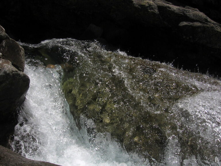
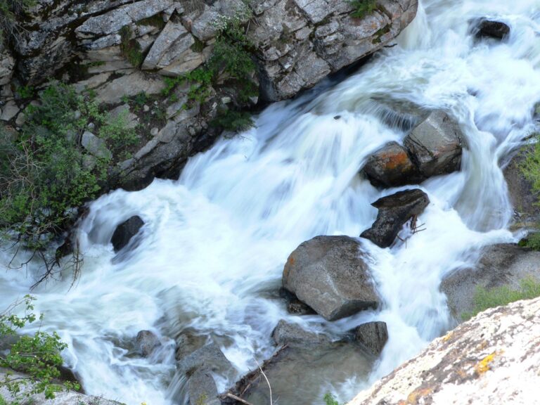
Pyramid Creek drops in seven steps over about four-tenths of a mile of granite: a 440-foot slide and horsetail at the top, a 140-foot cascade, sheer drops of 50 and 100 feet, and finally a box canyon with two 20-foot drops and a 45-foot cascade. About a dozen lakes feed the creek, so it runs all year, carrying an average of about 102 cubic feet per second at its peak and about 28 at its lowest.
Getting there
The Pyramid Creek Trailhead, also known as Twin Bridges, is on Highway 50 about 2 miles east of Strawberry, with flush toilets. Parking costs $10 per vehicle per day, and the lot closes for the winter in late October. Day hikers fill out a free wilderness permit at the trailhead; there is no day-use quota.
The trail climbs through open granite and becomes an unmarked scramble over slabs, with many false paths. The base is about 1.25 miles one way; with the scramble back, guides measure the round trip at 2.8 to 3.3 miles with 646 to 700 feet of gain. A lower loop gives views of the lower cascades without the scramble.
When to go
The falls are strongest from April through July, with snowmelt peaking around June. They keep flowing through summer and fall at lower volume, when the creek is easier to be around. In winter, only the first mile of trail is easily reached.
On site
The granite is steep and slick, and the creek between the drops is fast and turbulent at high water. In June 2002 a young woman wading above the falls to take a photo was swept about 200 feet over them, and several other hikers have been airlifted out after falls on the slabs, including a teenager in 2015. Stay out of the creek above and between the drops, keep dogs on a leash and away from the banks, and turn back where the route becomes a climb. The trail is not suitable for wheelchairs or small children.
History and name
The area's scenery helped defeat a proposed small hydroelectric project on Pyramid Creek, and the Forest Service protects 1,150 acres around it as a special geological area.
Nearby
Pyramid Creek Cascades is about 1.2 miles away, Ropi Lake Falls about 0.9 mile and Lovers Leap Cascades about 1.7 miles.
Distances are straight-line.