Waterfalls in North Carolina
495 waterfalls in North Carolina across 34 counties, from the USGS dataset; 441 with a measured height. The tallest is Laurel Falls at 475 ft. All US waterfalls.
State: North Carolina 47
- Alabama 97
- Arizona 66
- Arkansas 280
- California 1,039
- Colorado 345
- Connecticut 79
- Florida 3
- Georgia 298
- Idaho 249
- Illinois 20
- Indiana 24
- Iowa 8
- Kansas 24
- Kentucky 65
- Louisiana 6
- Maine 175
- Maryland 13
- Massachusetts 37
- Michigan 294
- Minnesota 43
- Mississippi 8
- Missouri 11
- Montana 252
- Nebraska 14
- Nevada 25
- New Hampshire 264
- New Jersey 5
- New Mexico 20
- New York 879
- North Carolina 495
- North Dakota 1
- Ohio 26
- Oklahoma 30
- Oregon 1,342
- Pennsylvania 274
- Rhode Island 5
- South Carolina 22
- South Dakota 10
- Tennessee 427
- Texas 71
- Utah 76
- Vermont 229
- Virginia 127
- Washington 2,596
- West Virginia 13
- Wisconsin 83
- Wyoming 267
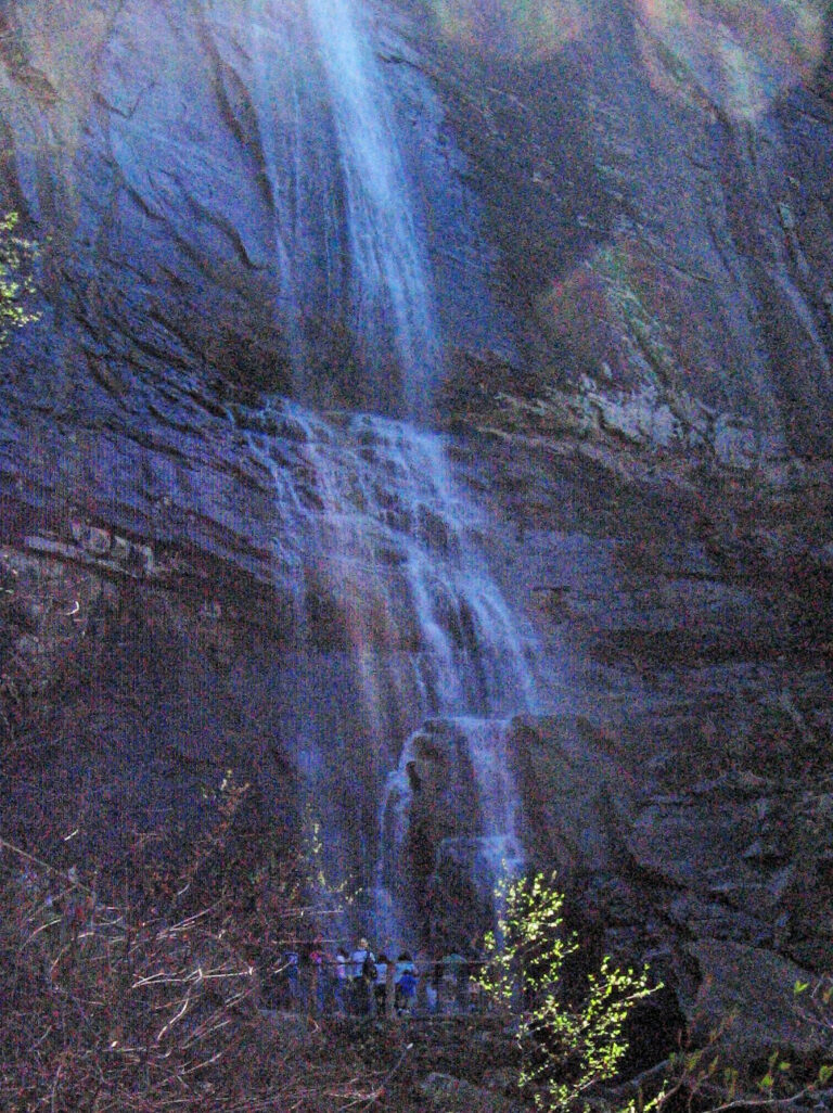
- Tallest drop 351 ft
- On Fall Creek
- 3 mi from Lake Lure
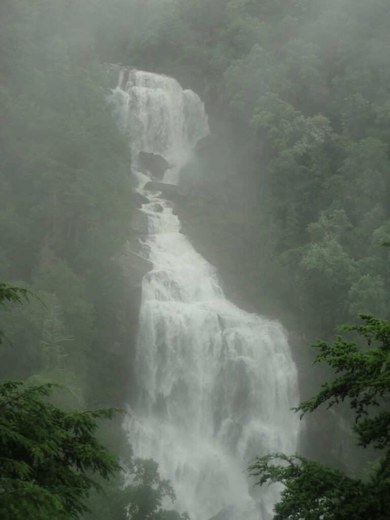
- Tallest drop 215 ft · 2 drops
- On Whitewater River
- 19 mi from Walhalla
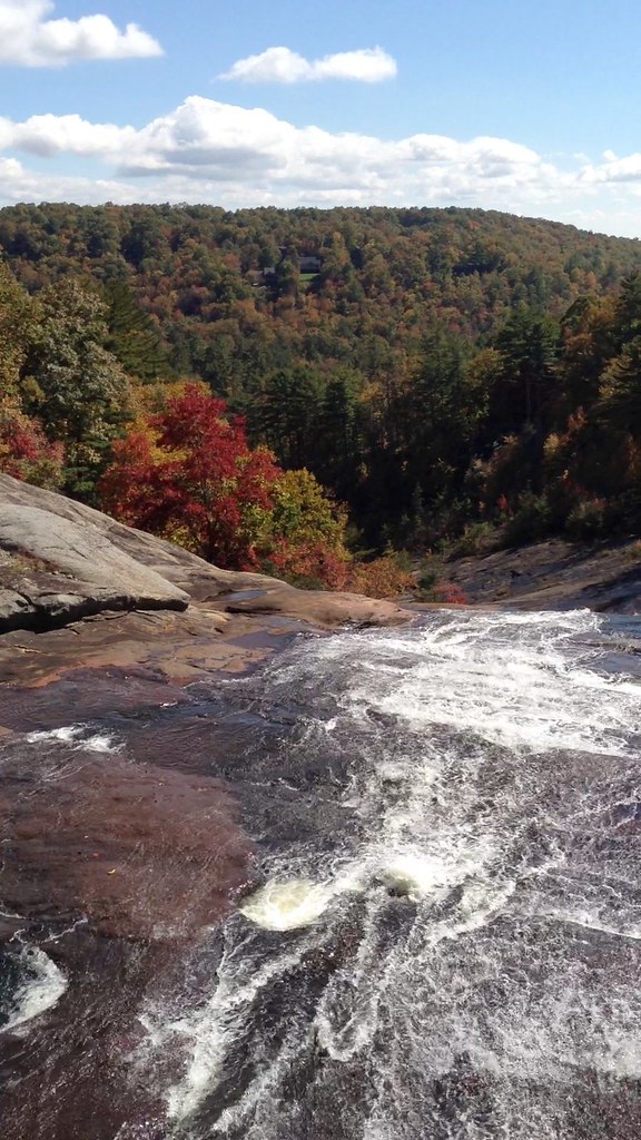
- Tallest drop 115 ft · 4 drops
- On Toxaway River
- 14 mi from Brevard
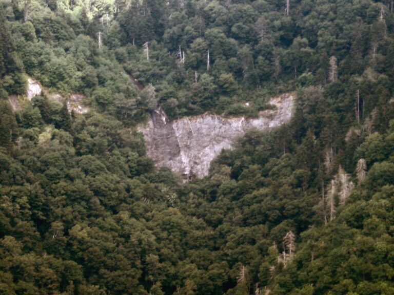
- On Glassmine Branch
- 8 mi from Black Mountain
- Tallest drop 145 ft · 3 drops
- 3 mi from Lake Lure
- On Catawba River
- 4 mi from Black Mountain
- Tallest drop 100 ft · 4 drops
- On Cullasaja River
- 8 mi from Franklin
- Tallest drop 120 ft · 2 drops
- 12 mi from Franklin
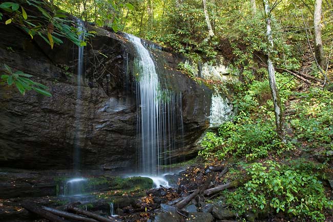
- 2 drops
- On Little Mill Creek
- 6 mi from Cullowhee
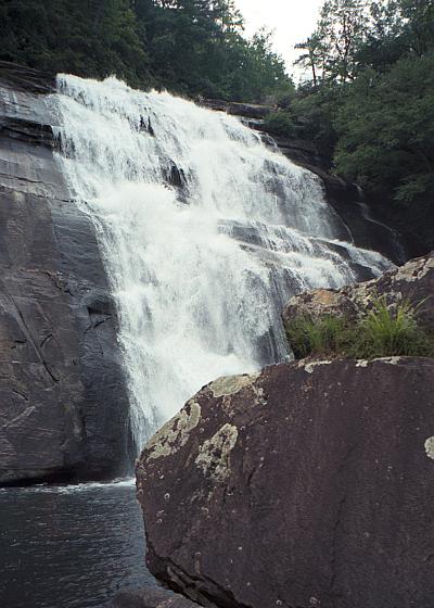
- On Horsepasture River
- 16 mi from Brevard
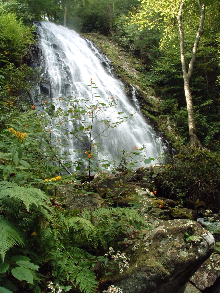
- On Big Crabtree Creek
- 8 mi from Spruce Pine
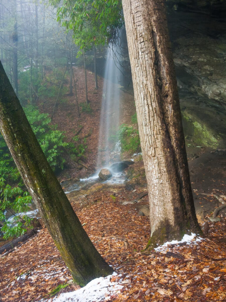
- Tallest drop 85 ft · 2 drops
- On tributary of Abes Creek
- 10 mi from Mountain City
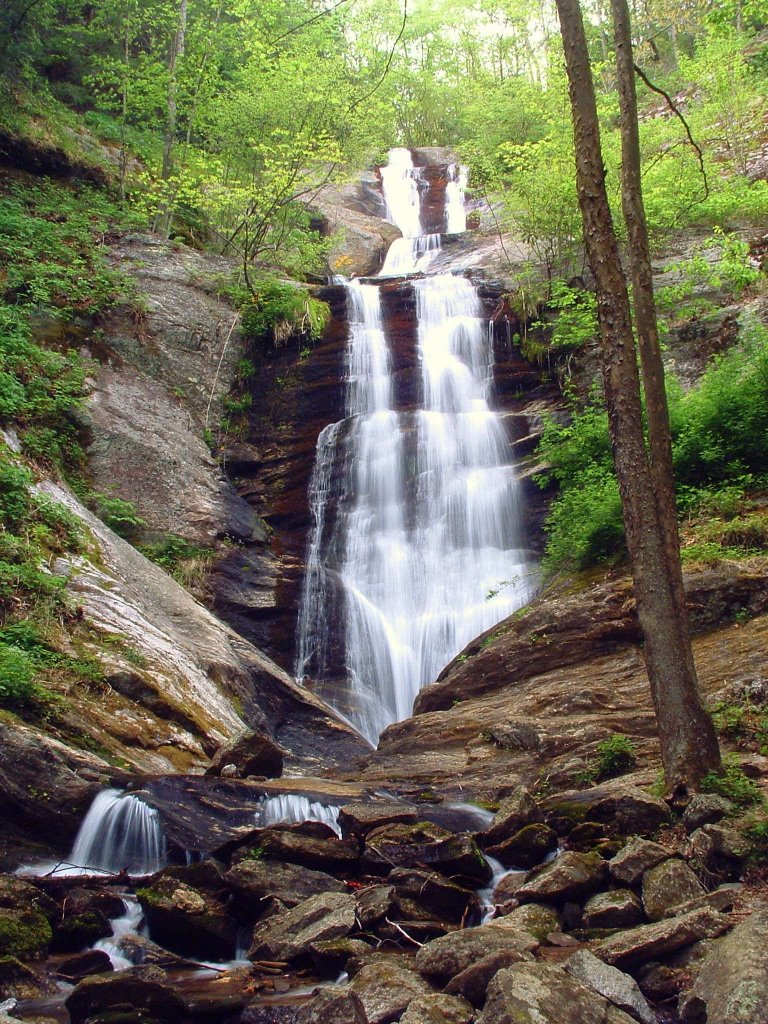
- 5 drops
- On Toms Creek
- 7 mi from Marion
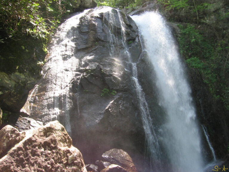
- Tallest drop 50 ft · 2 drops
- On Jacob Fork South Fork Catawba River
- 8 mi from Salem
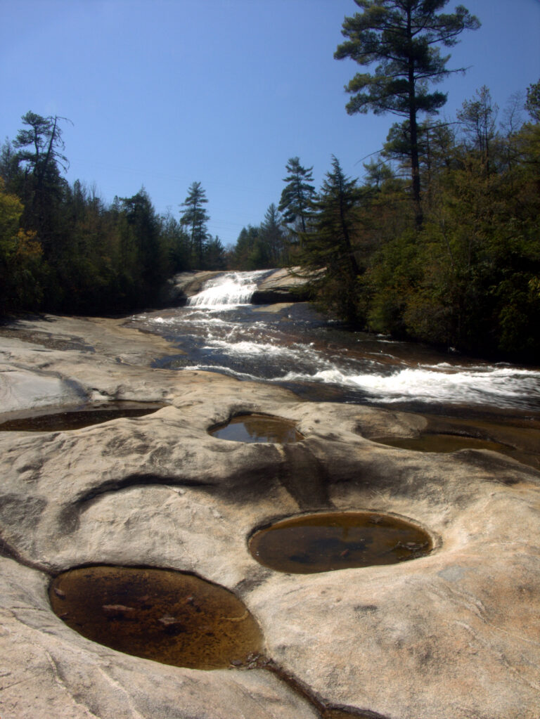
- On Little River
- 7 mi from Brevard
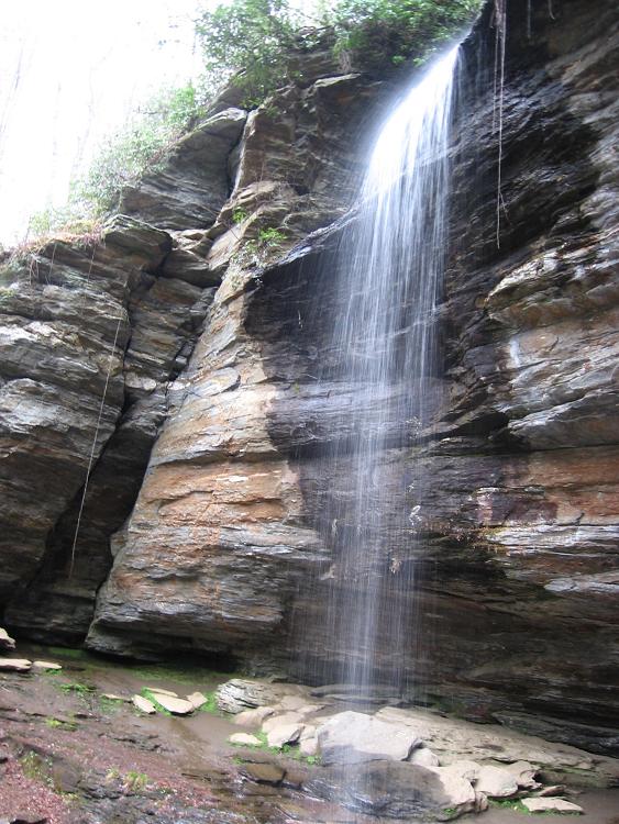
- Tallest drop 60 ft
- On Moore Cove
- 6 mi from Brevard
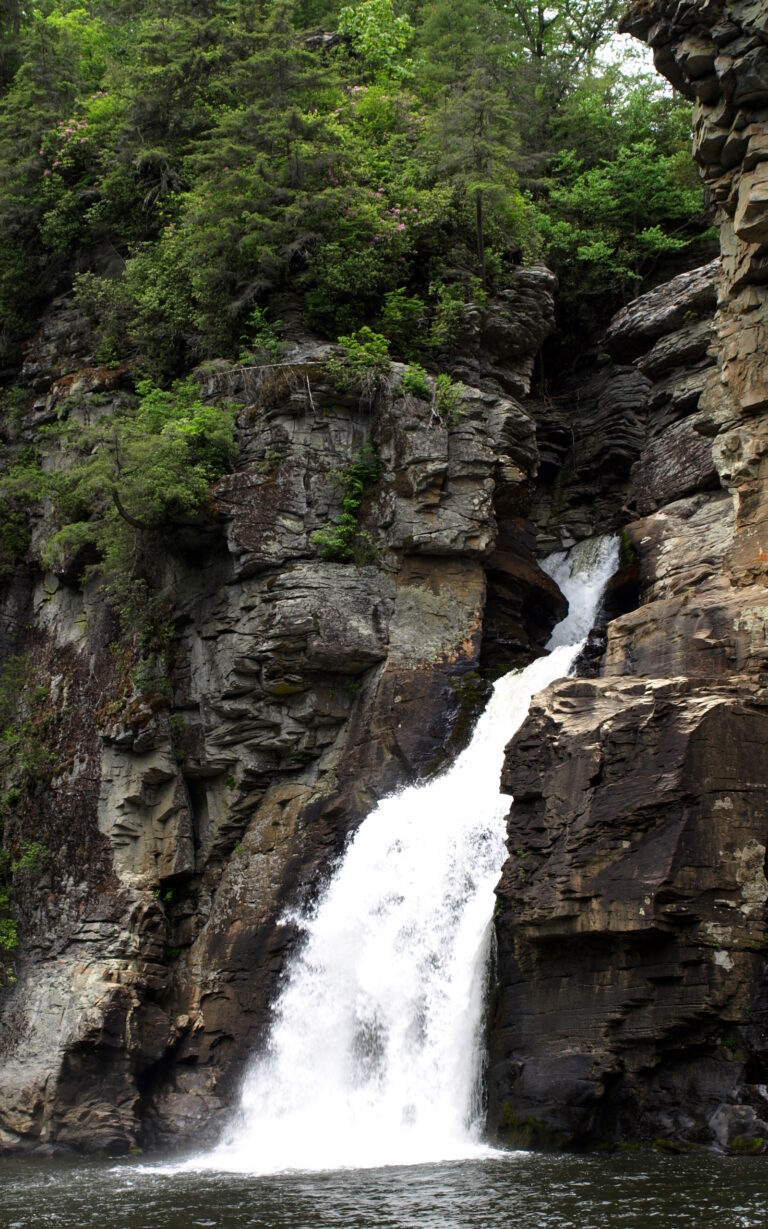
- Tallest drop 40 ft · 5 drops
- On Linville River
- 8 mi from Spruce Pine
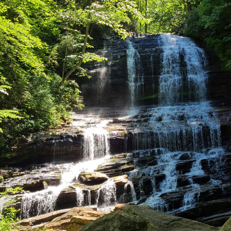
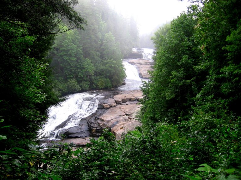
- Tallest drop 40 ft · 3 drops
- On Little River
- 7 mi from Brevard
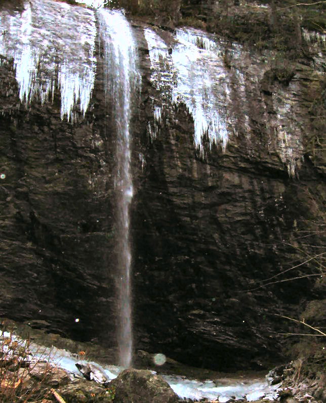
- On Carter Creek
- 8 mi from Black Mountain
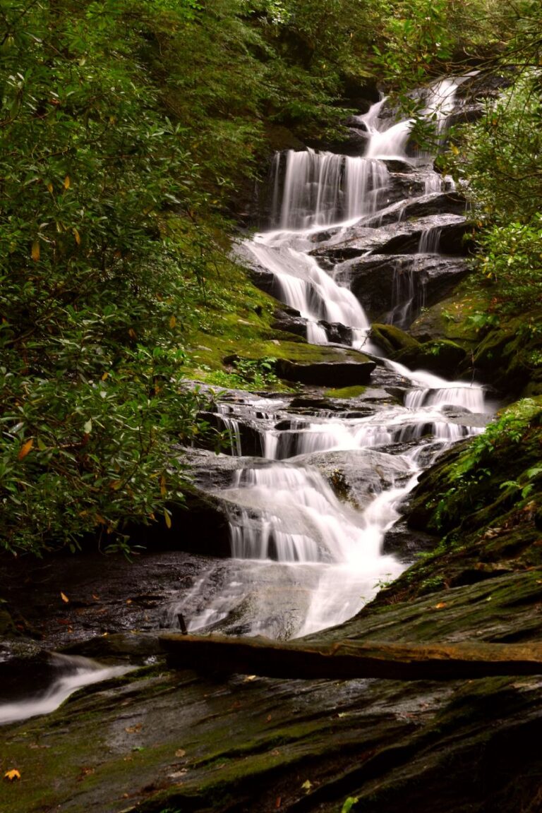
- On Roaring Fork
- 12 mi from Marion
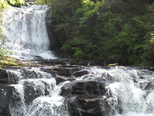
- 4 drops
- On Carson Creek
- 5 mi from Brevard
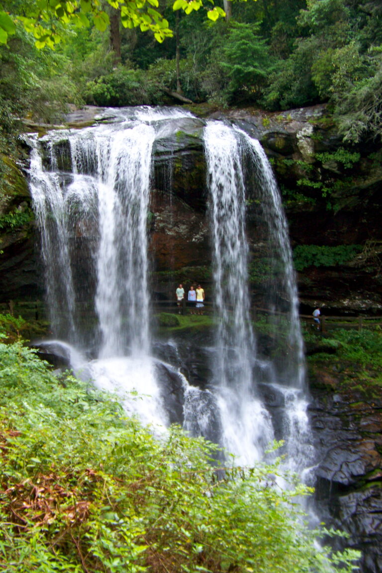
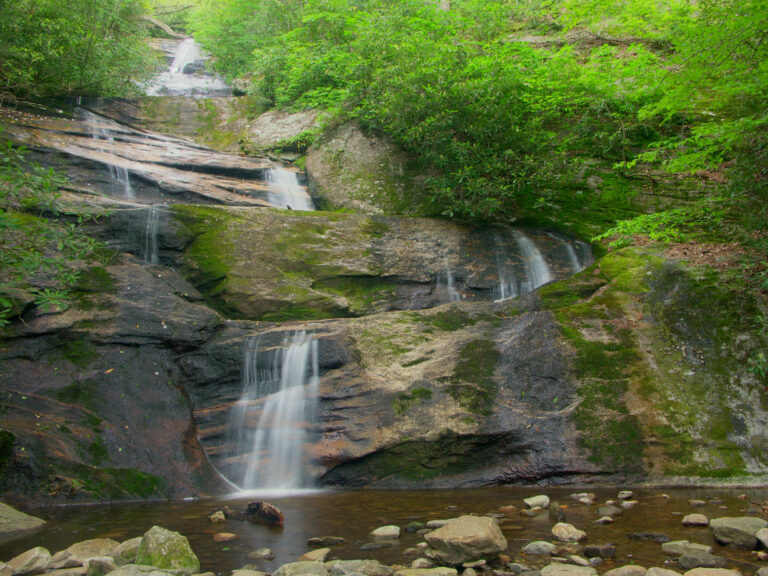
- 4 drops
- On Setrock Creek
- 11 mi from Black Mountain
North Carolina's waterfall country, from escarpment gorges to a storm-scarred parkway
Where the Blue Ridge Plateau drops toward South Carolina in a wall of gneiss and schist called the Blue Ridge Escarpment, rivers pour off it in fall after fall. That stretch of Transylvania, Jackson and Macon counties alone holds more than half of the state's 495 named falls; the rest run from the Smokies and the Blue Ridge Parkway's Black Mountains to old mill-dam falls in the Piedmont. Hurricane Helene tore through western North Carolina in September 2024, and two years on, several well-known falls are still working through rebuilt trails and a slow reopening.
Where the waterfalls are
The escarpment carries the largest share: Transylvania County alone counts 132 listings in Pisgah National Forest, DuPont State Recreational Forest and Gorges State Park; Jackson County adds 79 in Nantahala National Forest around Cashiers, and Macon County another 49 along the Cullasaja Gorge toward Highlands and Franklin.
Along the Blue Ridge Parkway, national forest land in Buncombe, McDowell, Yancey and Burke counties holds Linville Gorge, the nation's first wilderness area, and South Mountains State Park. Swain and Haywood counties sit inside Great Smoky Mountains National Park and the adjoining Qualla Boundary, home of the Eastern Band of Cherokee Indians. The High Country around Grandfather Mountain fills out Avery and Watauga counties, and the foothills add Wilkes and Caldwell counties. East of Asheville, Hickory Nut Gorge runs through Rutherford into Polk County, and the Sauratown Mountains hold Hanging Rock State Park's falls in Stokes County. The Piedmont adds mill-dam falls in counties with one or two listings apiece.
Waterfalls worth the trip
- Whitewater Falls, 335 feet in two tiers, is reached by a paved quarter-mile path to the upper overlook, and 154 steps continue to a second view.
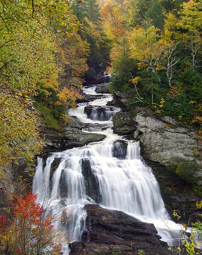
- Linville Falls drops about 100 feet in stepped tiers where the Linville River enters Linville Gorge. The paved overlook trails are open, though Helene destroyed the visitor center and the trail to the river's base stays closed.
- Hickory Nut Falls, 404 feet down the wall of Hickory Nut Gorge in Chimney Rock State Park, is a 1.4-mile round trip with a rocky climb near the end; the park reopened in June 2025 after Helene destroyed its access bridge.
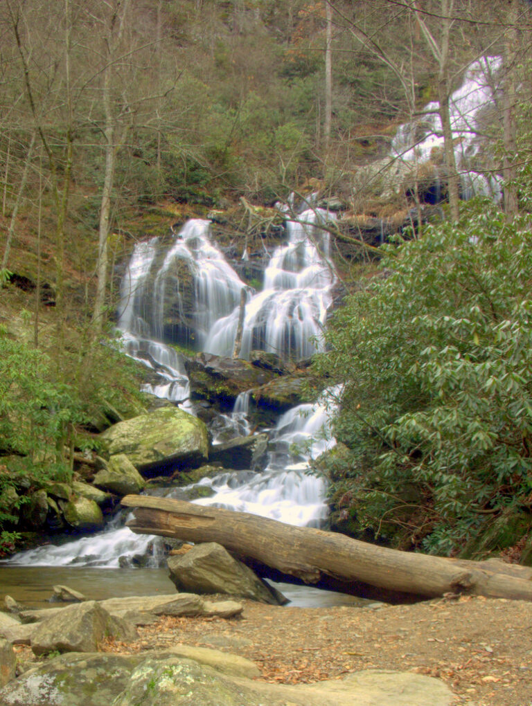
- Catawba Falls, about 220 feet of cascades near Old Fort, is a free 3.5-mile loop climbing 580 stairs past three overlooks and a tower, rebuilt in 2024 and still recovering from Helene's damage upstream.
- Looking Glass Falls, a 55-foot curtain beside US 276, needs no hike: a paved walkway at street level gives the view, with steps down to the pool.
- Dry Falls drops 85 feet on the Cullasaja River outside Highlands, where a path passes behind the water; Cullasaja Falls, 165 feet in four tiers farther down the same gorge, is seen from a roadside pullout on a blind curve.
- Triple Falls, 100 feet in three tiers in DuPont State Recreational Forest, and Hooker Falls, a 10-foot ledge downstream, are each a short walk from their own lot; the stairs to Triple Falls' base remain closed after Helene washed them out.
- Soco Falls, 35 feet near Maggie Valley, has a rebuilt trail and deck that reopened in August 2025.
When to go
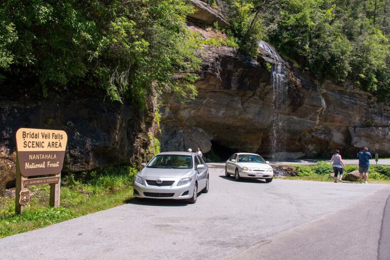
Escarpment streams run heaviest with winter and spring rain and thin by late summer; Bridal Veil Falls near Highlands can nearly dry up in drought. October is the busiest month at DuPont and along US 64, and winter's bare trees open the clearest view into the Cullasaja Gorge.
Fees, permits and storm closures
Most state parks charge no entrance fee; Chimney Rock is an exception, at $17 for adults and $8 for ages 5 to 15. Whitewater Falls, Dry Falls and Whiteside Mountain share a Forest Service day pass, $3 a vehicle or $15 a year. Looking Glass, Cullasaja and Catawba Falls and all of DuPont, including Triple, Hooker and Bridal Veil Falls, are free; DuPont is open daily 5 a.m. to 10 p.m. and bans swimming or climbing on its waterfalls.
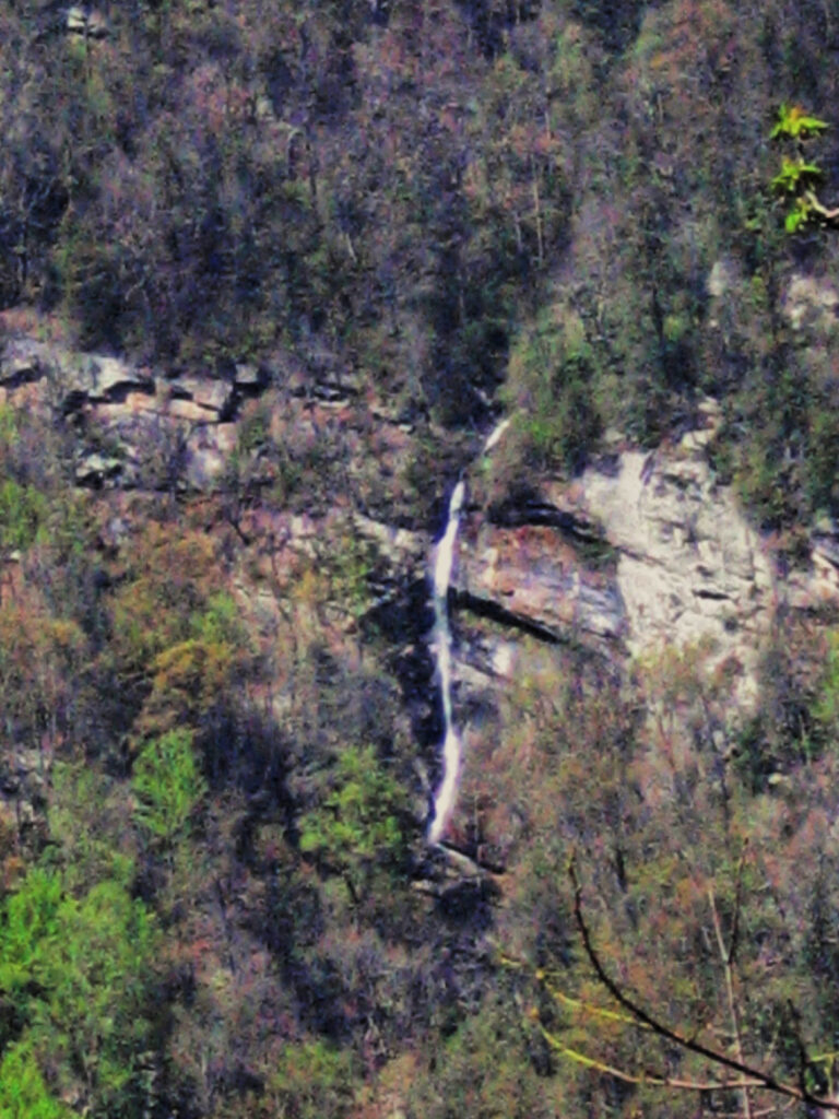
Hurricane Helene, in September 2024, still shapes access. The Blue Ridge Parkway has reopened in stretches, including Asheville to Craggy Gardens in September 2025 and Blowing Rock to Linville Falls in July 2025, but the Crabtree Falls Loop and the High Shoals Falls Trail stay closed in 2026 with no date announced. Soco Falls sits on Qualla Boundary land, belonging to the Eastern Band of Cherokee Indians; follow posted tribal rules there. Glassmine Falls and Rainbow Falls in Rutherford County sit on watershed or private land with no legal access, seen only from a distance.
Safety
Whitewater Falls has recorded at least 15 deaths since 1995, more than any other waterfall in the state, most from climbing onto rocks above or beside the drop; a 3-year-old was swept over the top in 2022. High Shoals Falls has had four deaths since 1993, mostly from swimming near the top, now banned there, and two hikers died in separate falls above Catawba Falls in 2017 and 2018. Stay off ledges above a falls, keep out of the current leading into one, and keep dogs leashed.
Waterfalls in North Carolina on the map
Numbers show how many sit in that area; zoom in or click to split them, click a marker for details.
Tallest waterfalls in North Carolina
- Laurel Falls475 ftTransylvania County
- Mount Toxaway Falls425 ftJackson County
- Slick Falls425 ftMcDowell County
- Cascades Waterfall410 ftBuncombe County
- Norton Mill Creek Falls410 ftJackson County
- Hickory Nut Falls404 ftRutherford County
- Whitewater Falls335 ftJackson County
- Bluff Mountain Falls320 ftAshe County
- John Brown Branch Falls320 ftJackson County
- Big Falls295 ftTransylvania County
Waterfalls by county
North Carolina has named waterfalls in 34 counties. The most are in Transylvania County (132), Jackson County (79), Macon County (49), Haywood County (23), Swain County (22), Henderson County (20). Every county has its own page with a map and the tallest falls:
- Alleghany County 2
- Ashe County 3
- Avery County 19
- Bladen County 1
- Buncombe County 11
- Burke County 14
- Caldwell County 11
- Cherokee County 5
- Clay County 5
- Cleveland County 1
- Cumberland County 1
- Graham County 12
- Harnett County 1
- Haywood County 23
- Henderson County 20
- Jackson County 79
- Macon County 49
- Madison County 5
- McDowell County 11
- Mitchell County 5
- Moore County 1
- Polk County 8
- Randolph County 1
- Richmond County 1
- Rockingham County 1
- Rutherford County 9
- Stanly County 1
- Stokes County 5
- Swain County 22
- Transylvania County 132
- Watauga County 8
- Wilkes County 16
- Yadkin County 2
- Yancey County 10
Types of waterfalls in North Carolina
tiered (199), cascade (60), slide (52), horsetail (40), block (15), plunge (12). What the types mean is explained in the guide to waterfall types.
About the data
Of the 495 waterfalls in North Carolina, 441 have a measured height, 100 have coordinates verified against aerial imagery and 53 have photos. Heights are the total drop as recorded by the source; falls without a measurement are listed without one. Every page has the stream, the nearest town and distance, a map with directions and a review form for photos and notes.