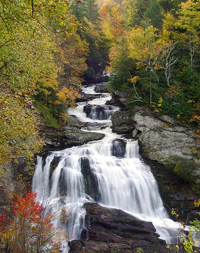
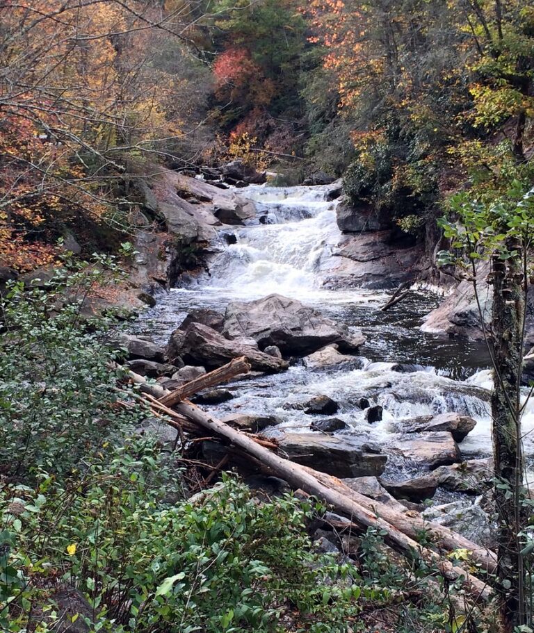
Cullasaja Falls is a 165-foot tiered waterfall on the Cullasaja River in Macon County, North Carolina, the last major fall on the river as it runs through the Cullasaja Gorge in the Nantahala National Forest. It sits directly below US 64, the Mountain Waters Scenic Byway, between Highlands and Franklin.
The falls
The river runs as a long cascade over about 0.2 miles. About 65 feet of cascades drop at the top, then a broad 100-foot veiling horsetail splits into several strands at lower flow, for four drops and 165 feet in all. Earlier surveys listed 200 feet, the figure in Kevin Adams' book; other guides give 180 or 250 feet.
Getting there
The falls are 8.8 miles west of the NC 106 junction in Highlands on US 64, or about 10.25 miles east of US 23/441 in Franklin. Here the highway is cut into a near-vertical wall, with blind curves and sheer drops above and below the road. The only parking is an unmarked pullout on the left when heading west, with room for about four cars. The easiest approach is to drive past, turn around safely and come back eastbound so the pullout is on the right. Walking along the road is dangerous. The gorge is national forest land managed by the Nantahala Ranger District. In January 2024 a storm-damaged embankment closed US 64 in the gorge for several weeks of repairs; the road has since reopened.
When to go
The falls are at their best when the river is running high. Trees now screen much of the roadside view, and winter, when the leaves are down, gives the clearest view.
On site
From the pullout, a small knoll and a steep slope of loose rock give an open view. An unofficial path leads to the base: it runs parallel to the road, then descends steeply over boulders and broken rock with open ledges where a slip could mean a fall of about 150 feet. It is not suitable for children unless everyone stays up at the car. People swim in the pool below and rappel the cliffs, though reaching them is difficult.
History and name
An older name for the falls is Lower Sugar Fork Falls. Cullasaja is a Cherokee word meaning "honey locust place," while the river name traces to Kulsetsi, the Cherokee town known as Sugartown. The Forest Service once studied a parking and viewing platform hung off the cliff, but it was never built.
Nearby
Lower Buck Creek Falls is about 0.6 miles away, and Bust Your Butt Falls, upstream on the same river, about 1.7 miles. Farther up the gorge toward Highlands are Dry Falls, about 3.8 miles, and Bridal Veil Falls, about 3.9 miles.
Distances are straight-line.