Waterfalls in Wisconsin
83 waterfalls in Wisconsin across 24 counties, from the USGS dataset; 47 with a measured height. The tallest is Big Manitou Falls at 135 ft. All US waterfalls.
State: Wisconsin 47
- Alabama 97
- Arizona 66
- Arkansas 280
- California 1,039
- Colorado 345
- Connecticut 79
- Florida 3
- Georgia 298
- Idaho 249
- Illinois 20
- Indiana 24
- Iowa 8
- Kansas 24
- Kentucky 65
- Louisiana 6
- Maine 175
- Maryland 13
- Massachusetts 37
- Michigan 294
- Minnesota 43
- Mississippi 8
- Missouri 11
- Montana 252
- Nebraska 14
- Nevada 25
- New Hampshire 264
- New Jersey 5
- New Mexico 20
- New York 879
- North Carolina 495
- North Dakota 1
- Ohio 26
- Oklahoma 30
- Oregon 1,342
- Pennsylvania 274
- Rhode Island 5
- South Carolina 22
- South Dakota 10
- Tennessee 427
- Texas 71
- Utah 76
- Vermont 229
- Virginia 127
- Washington 2,596
- West Virginia 13
- Wisconsin 83
- Wyoming 267
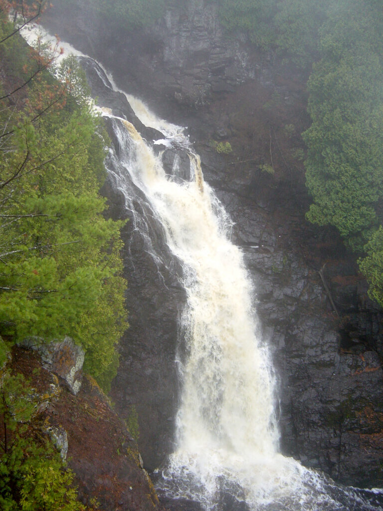
- Tallest drop 120 ft · 2 drops
- 13 mi from Superior
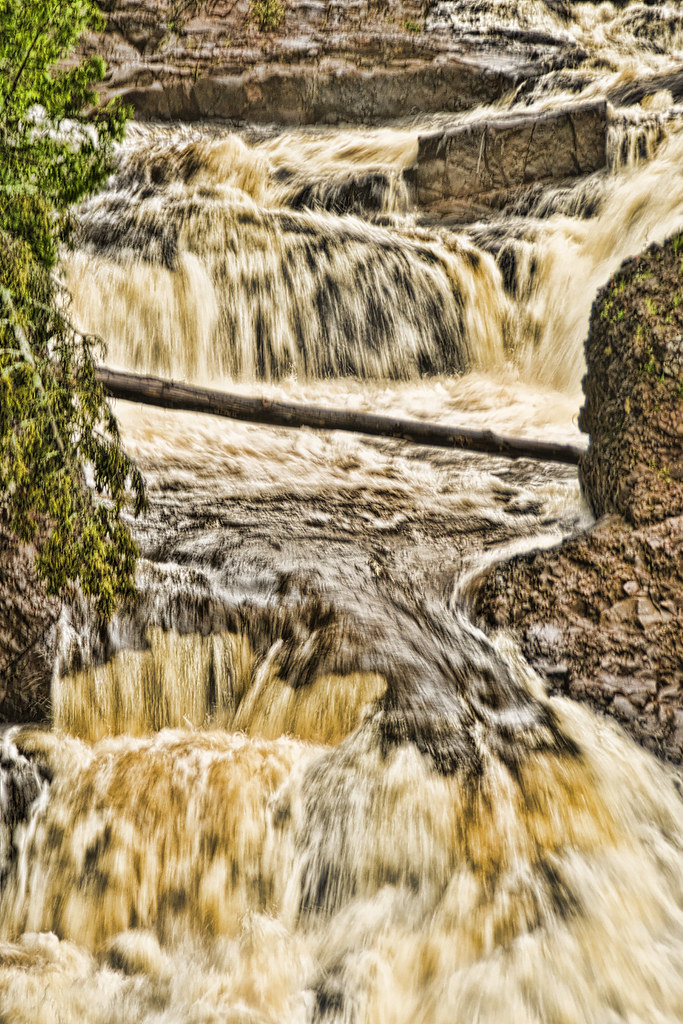
- Tallest drop 35 ft · 4 drops
- On Potato River
- 16 mi from Hurley

- Tallest drop 50 ft · 3 drops
- On Montreal River
- 13 mi from Hurley
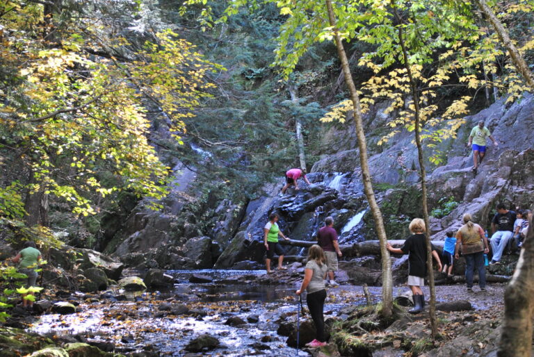
- Tallest drop 55 ft · 2 drops
- On Morgan Creek
- 17 mi from Ashland
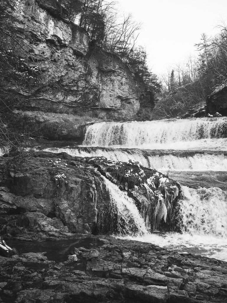
- 5 drops
- On Willow River
- 4 mi from North Hudson
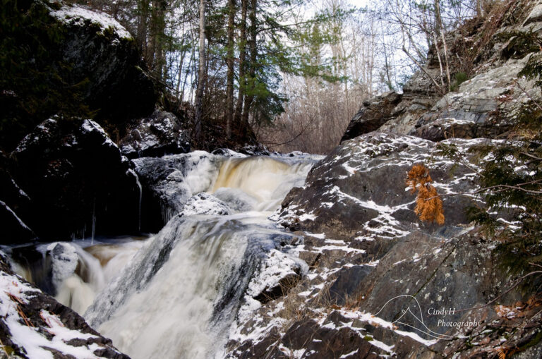
- 4 drops
- On North Branch Pemebonwon River
- 7 mi from Niagara
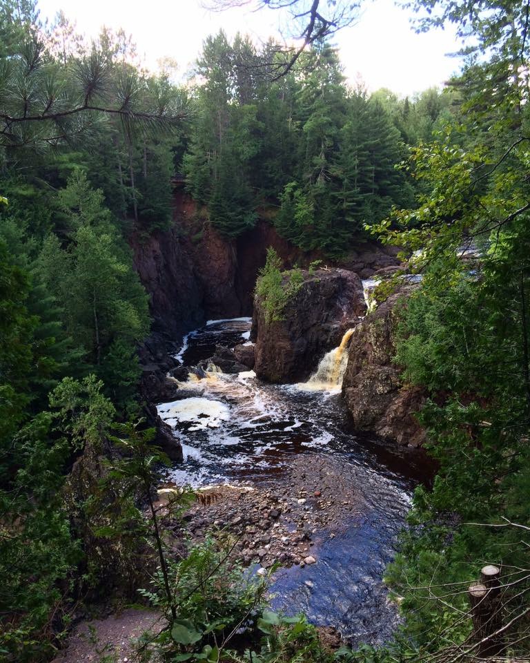
- On Bad River
- 19 mi from Ashland
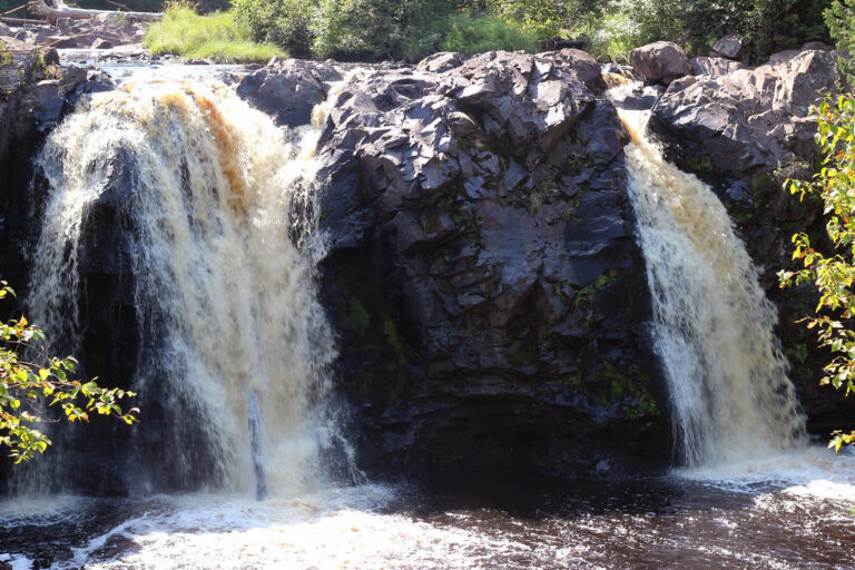
- On Black River
- 14 mi from Superior
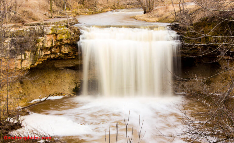
- On Bower Creek
- 2 mi from Bellevue
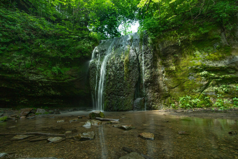
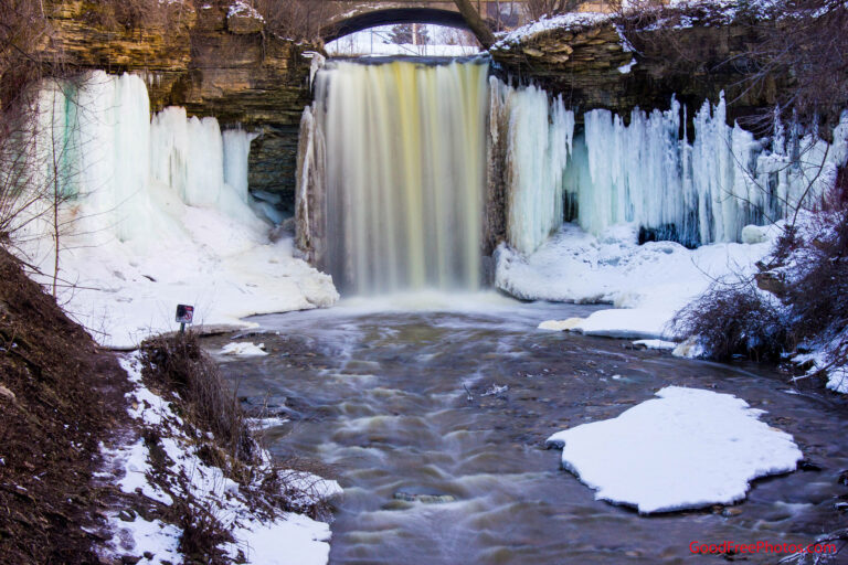
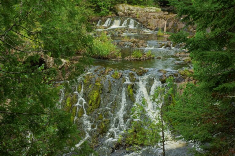
- Tallest drop 9 ft · 2 drops
- On Potato River
- 12 mi from Hurley
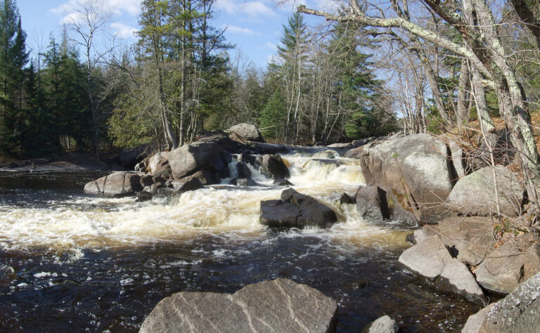
- On Peshtigo River
- 23 mi from Kingsford
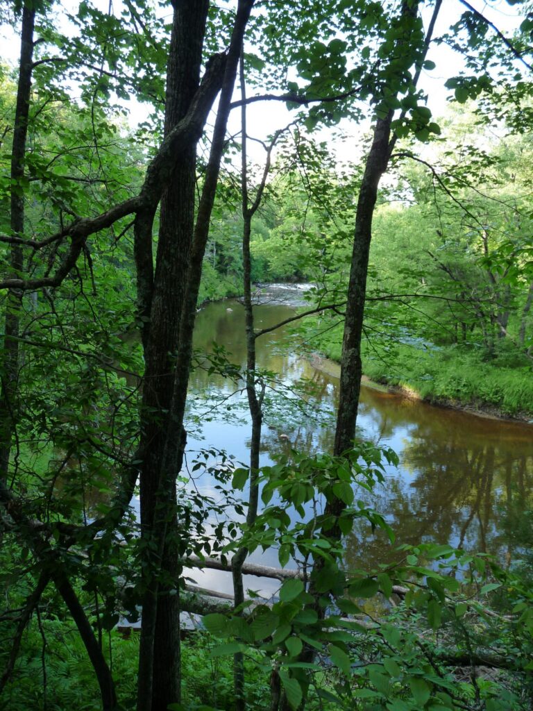
- On North Fork Eau Claire River
- 11 mi from Augusta
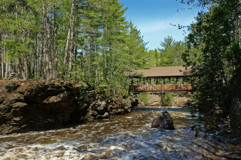
- On Amnicon River
- 11 mi from Lake Nebagamon

- Tallest drop 30 ft · 2 drops
- On Tyler Forks River
- 19 mi from Ashland
- Under 1 mi from Niagara
- On Montreal River
- 2 mi from Hurley
- On Montreal River
- 2 mi from Hurley
- On Siskiwit River
- 16 mi from Washburn
- On Amnicon River
- 11 mi from Lake Nebagamon
- On Wolf River
- 9 mi from Keshena
Wisconsin waterfalls: where to go and when
Wisconsin's waterfalls are a northern affair. Of the 83 named falls in the state, most sit in a band of counties along the Lake Superior basin and the Michigan border, where rivers cross billion-year-old lava rock on their way north to the lake or east to Green Bay. The drops are shorter than in the mountain states, but the gorges are cut into red and black lava rock, and many falls are a short walk from a state or county park lot. The south has a handful of glens and ledges, including the one closest to the Twin Cities.
Where the waterfalls are
The tallest falls are in the far northwest, in Douglas County near Superior. The Black and Amnicon rivers there run off hard basalt onto soft sandstone, and at Amnicon the two main falls sit on opposite sides of an ancient fault. East of it, Ashland County has Copper Falls State Park, where the Bad River and the Tyler Forks drop into a gorge with walls 60 to 100 feet high. Iron County around Hurley packs falls onto the Montreal, Potato and Tyler Forks rivers.
The largest group is in Marinette County, which calls itself the waterfalls capital of the state and signs a driving tour of 15 falls and rapids on the Pike, Peshtigo and Thunder rivers. The Wolf River falls in Menominee County are on the Menominee Reservation. In the south, falls are scattered: a glen in Sauk County, a limestone ledge on the Niagara Escarpment near Green Bay, and Willow Falls in St. Croix County, the closest to the Twin Cities.
Waterfalls worth the trip
- Big Manitou Falls in Pattison State Park is the tallest in Wisconsin: 135 feet by lidar survey, though park signs still give 165. A tunnel under Highway 35 leads to overlooks on both rims, and Little Manitou Falls is upstream in the same park.
- Amnicon Falls and Snake Pit Falls are both on a quarter-mile island loop reached over a covered footbridge; wading is allowed, jumping is not.
- Copper Falls and Brownstone Falls share the 1.7-mile Doughboys loop, with a half-mile accessible stretch to an overlook.
- Potato River Falls drops about 90 feet in four steps in a free county forest park, with stairs to an upper and a lower viewpoint.
- Superior Falls is the last big drop on the Montreal River before Lake Superior; the overlook is reached from the Michigan side.
- Long Slide Falls is the longest drop on the Marinette County tour, and Dave's Falls and Smalley Falls are an easy stop on the same loop.
- Willow Falls spills about 50 feet in five tiers in Willow River State Park; the trail down to it is short but very steep.
When to go
Spring snowmelt is the season: the northern falls usually start roaring in April and keep going through May, when trails can still be icy in the shade and rivers run high. Summer flow drops in dry spells and picks up again after heavy rain. Autumn is the second peak for visitors, with color in the north often starting in late September and reaching the south by mid-October. The state parks stay open all winter, but part of the Doughboys trail at Copper Falls closes when its stone steps ice over.
Fees and access
A Wisconsin state park sticker covers Pattison, Amnicon, Copper Falls, Willow River and Parfrey's Glen: $13 a day or $28 a year for Wisconsin plates and $16 a day or $50 a year for out-of-state vehicles. Marinette County parks on the waterfall tour charge $5 a day or $25 a year from May 1, paid in cash. Potato River Falls is free. Superior Falls sits on utility land around a hydro dam, and the Wolf River falls are on tribal land, so respect posted rules at both. Dogs are not allowed on the Copper Falls waterfall trail or at Parfrey's Glen, where the boardwalks washed out and the path now follows the creek bed. At Pattison, rebuilding of the Interfalls Lake dam is planned for 2027 and may change the flow over Big Manitou.
Safety
Wisconsin's gorges have unfenced edges, wet rock and roots, and falling rock injured two people at Willow Falls in 2026. Stay on marked trails, keep children close near the rims and stay out of the water in spring, when the current is at its strongest.
Waterfalls in Wisconsin on the map
Numbers show how many sit in that area; zoom in or click to split them, click a marker for details.
Tallest waterfalls in Wisconsin
- Big Manitou Falls135 ftDouglas County
- Potato River Falls90 ftIron County
- Superior Falls90 ftIron County
- Morgan Falls65 ftAshland County
- Willow Falls50 ftSt. Croix County
- Brownstone Falls40 ftAshland County
- Little Quinnesec Falls35 ftMarinette County
- Long Slide Falls35 ftMarinette County
- Copper Falls28 ftAshland County
- Houghton Falls25 ftBayfield County
Waterfalls by county
Wisconsin has named waterfalls in 24 counties. The most are in Marinette County (17), Iron County (10), Menominee County (8), Douglas County (6), Manitowoc County (6), Ashland County (4). Every county has its own page with a map and the tallest falls:
- Ashland County 4
- Bayfield County 3
- Brown County 3
- Douglas County 6
- Dunn County 1
- Eau Claire County 2
- Florence County 3
- Forest County 1
- Iowa County 1
- Iron County 10
- Jackson County 2
- Lincoln County 1
- Manitowoc County 6
- Marathon County 1
- Marinette County 17
- Menominee County 8
- Oconto County 1
- Price County 1
- Sauk County 2
- Sawyer County 3
- Shawano County 3
- St. Croix County 2
- Waupaca County 1
- Wood County 1
Types of waterfalls in Wisconsin
tiered (13), block (9), cascade (7), segmented (6), slide (6), horsetail (3). What the types mean is explained in the guide to waterfall types.
About the data
Of the 83 waterfalls in Wisconsin, 47 have a measured height, 53 have coordinates verified against aerial imagery and 16 have photos. Heights are the total drop as recorded by the source; falls without a measurement are listed without one. Every page has the stream, the nearest town and distance, a map with directions and a review form for photos and notes.