Waterfalls in Arkansas
280 waterfalls in Arkansas across 25 counties, from the USGS dataset; 130 with a measured height. The tallest is Hemmed In Hollow Falls at 209 ft. All US waterfalls.
State: Arkansas 47
- Alabama 97
- Arizona 66
- Arkansas 280
- California 1,039
- Colorado 345
- Connecticut 79
- Florida 3
- Georgia 298
- Idaho 249
- Illinois 20
- Indiana 24
- Iowa 8
- Kansas 24
- Kentucky 65
- Louisiana 6
- Maine 175
- Maryland 13
- Massachusetts 37
- Michigan 294
- Minnesota 43
- Mississippi 8
- Missouri 11
- Montana 252
- Nebraska 14
- Nevada 25
- New Hampshire 264
- New Jersey 5
- New Mexico 20
- New York 879
- North Carolina 495
- North Dakota 1
- Ohio 26
- Oklahoma 30
- Oregon 1,342
- Pennsylvania 274
- Rhode Island 5
- South Carolina 22
- South Dakota 10
- Tennessee 427
- Texas 71
- Utah 76
- Vermont 229
- Virginia 127
- Washington 2,596
- West Virginia 13
- Wisconsin 83
- Wyoming 267
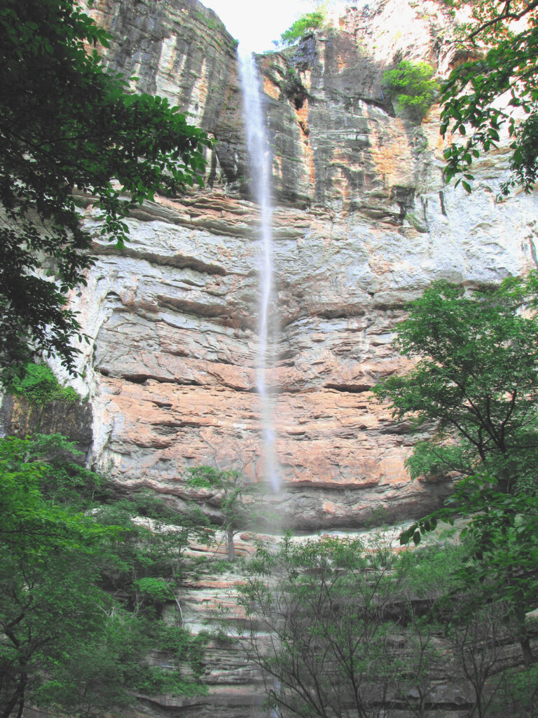
- On Hemmed-In-Hollow
- 16 mi from Harrison
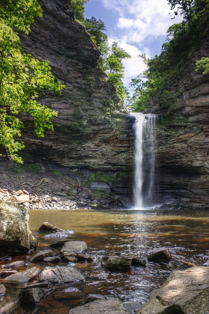
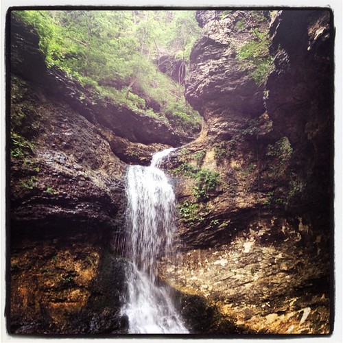
- 3 drops
- On Clark Creek
- 20 mi from Huntsville
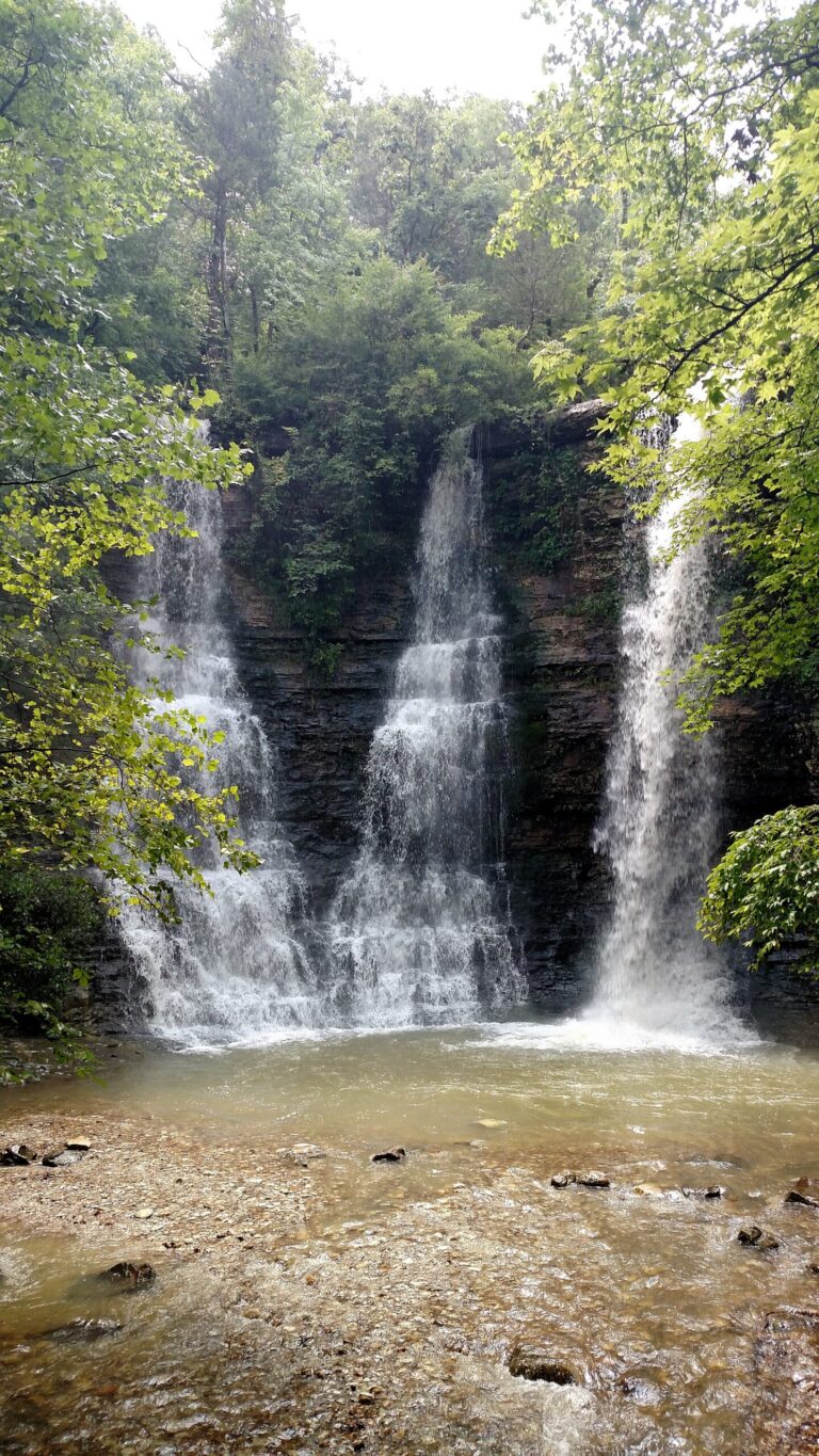
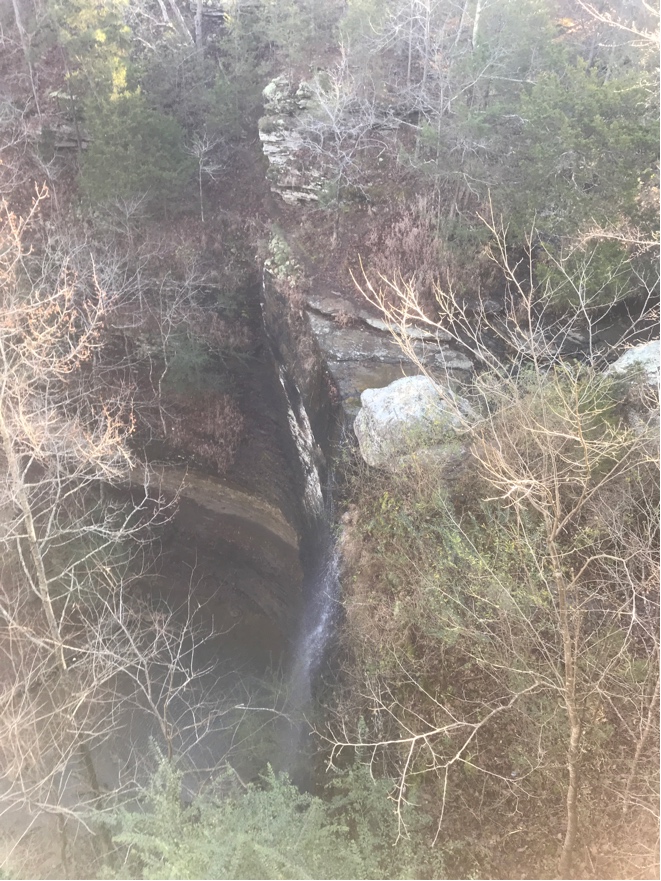
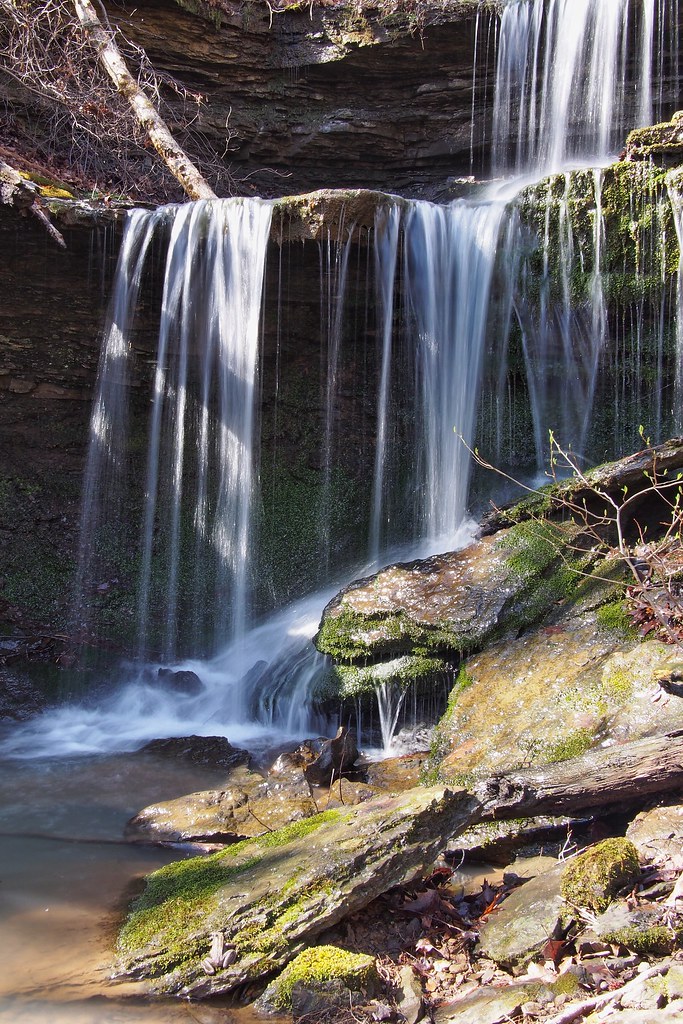
- Tallest drop 15 ft · 3 drops
- On tributary of Frog Bayou
- 14 mi from West Fork
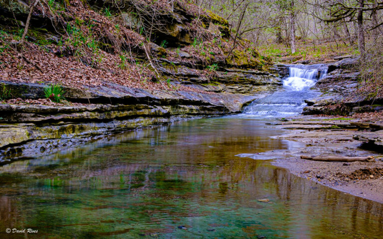
- Tallest drop 15 ft · 4 drops
- On Broadwater Hollow
- 12 mi from Harrison

- On Dismal Creek
- 25 mi from Clarksville
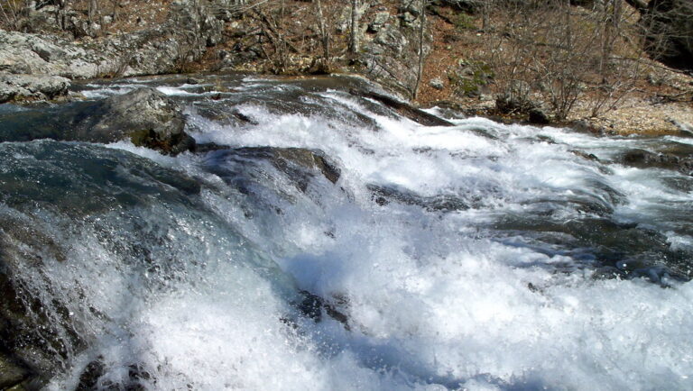
- Tallest drop 6 ft · 3 drops
- On Little Missouri River
- 19 mi from Mount Ida
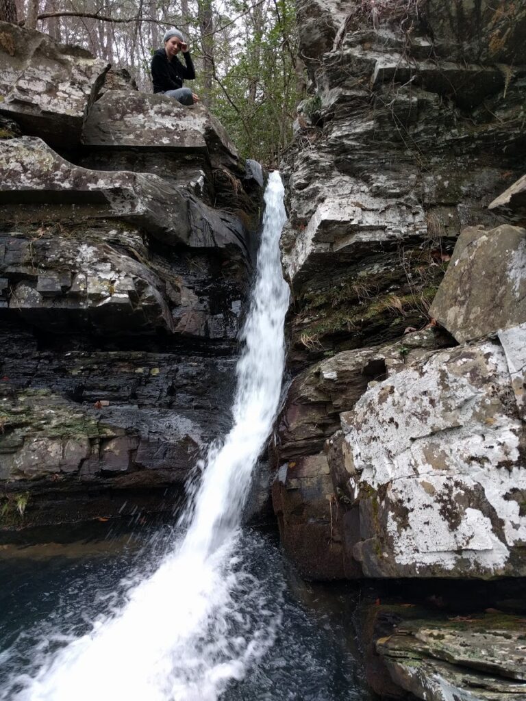
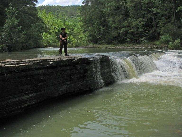

- On tributary of Hemmed-In-Hollow
- 16 mi from Harrison
- On tributary of Right Hand Prong
- 23 mi from Dover
- Tallest drop 71 ft · 2 drops
- On tributary of Dewey Canyon
- 12 mi from Calico Rock
- On Dewey Canyon
- 12 mi from Calico Rock
- On tributary of Leatherwood Creek
- 13 mi from Gassville
- On Sweden Creek
- 18 mi from Huntsville
- On tributary of Fallingwater Creek
- 19 mi from Marshall
- On tributary of South Prong of Middle Creek
- 15 mi from Calico Rock
- On tributary of Home Creek
- 26 mi from Clarksville
- On tributary of Wet Hollow
- 14 mi from Gassville
- On tributary of Mulberry River
- 16 mi from Ozark
Arkansas waterfalls: the Ozarks, the Ouachitas and what's between them
Arkansas's waterfalls fall into two mountain belts on either side of the Arkansas River Valley. In the north, the Ozark Plateau is cut into a maze of hollows, where sandstone caps over softer shale and dolomite let creeks drop off ledges into narrow canyons; the deepest of these, along the Buffalo National River, hold the state's tallest falls. In the west-central and southwest corner, the folded, east-west ridges of the Ouachita Mountains tend to step streams down in a series of shorter drops rather than one tall plunge. Between the two ranges, mesa mountains including Petit Jean and Mount Magazine add a few more. In all, 291 named falls are recorded here across 25 counties, most of them in the Ozarks.
Where the waterfalls are
The Ozark National Forest holds the largest concentration, in the Big Piney and Mulberry river country of Pope County and Johnson County, with more in Franklin County and Crawford County to the west. Newton County, inside the Buffalo National River and the Upper Buffalo Wilderness, has the deepest hollows and the tallest drops. East of there, dolomite bluffs above the White River hold dozens of small falls and "pouroffs" in Baxter County, Stone County and Searcy County. In the Ouachita Mountains, Montgomery County, Polk County and Howard County hold falls inside national forest wilderness areas, while Garland County and Saline County add smaller ones near Hot Springs. Conway County has the falls of Petit Jean Mountain, and Logan County has a few on Mount Magazine, the state's highest point.
Waterfalls worth the trip
- Hemmed In Hollow Falls, at 209 feet the tallest waterfall in the state, drops off a sandstone bluff in the Buffalo National River. The Compton Trailhead route is 5 miles round trip with nearly 1,400 feet of descent to regain on the way back.
- Cedar Falls in Petit Jean State Park drops 80 feet into Cedar Creek Canyon; the state park itself gives 90. The base trail from Mather Lodge is 2 miles round trip and strenuous, descending more than 200 feet of rock steps, while a separate quarter-mile stroll reaches an overlook.
- Eden Falls, 53 feet on Clark Creek, is 1.2 miles from the Lost Valley trailhead south of Ponca, past a natural bridge and a rock shelter; a spur climbs to a second, smaller fall inside a cave.
- Glory Hole Falls pours 31 feet through a hole worn in the roof of a rock shelter. The two-mile round trip from a pull-off near Ozone gains close to 500 feet and crosses the creek more than once.
- Little Missouri Falls steps down 20 feet over three tiers in the Ouachita National Forest, reached by an all-weather gravel road to a paved trail and observation points, with a picnic area at the lot.
- Katy Falls, a 10-foot drop tucked in the Caney Creek Wilderness, sits beside a trail junction on unmarked wilderness paths; heavy rain can flash-flood the creek crossings.
- Bridal Veil Falls near Heber Springs drops 45 feet a short walk from a city parking area off AR 25, with an overlook close to the lot and steep steps to the base.
- Twin Falls on Shop Creek runs about 50 feet in two strands, or three after rain, a short walk from a signed public parking area near Camp Orr; stay on the marked route and respect the camp's posted boundary.
When to go
Ozark and Ouachita falls run strongest in winter and spring, when rain and snowmelt fill the creeks; several of the smaller drops, including Cedar Falls and Twin Falls, thin out or nearly stop by mid-to-late summer without recent rain.
Fees, permits and closures
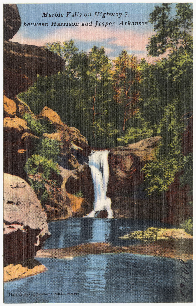
Arkansas State Parks, including Petit Jean, charge no general admission, with day-use areas open from sunrise to an hour after sunset. Buffalo National River charges no entrance, day-use or backcountry fee; check its current alerts before a trip. The Haw Creek Falls day-use area in the Ozark National Forest is open all year at no cost. A January 2026 exemption keeps Eden Falls Cave and Natural Bridge at Lost Valley open despite the park's wider cave closure. One former attraction is off-limits: Marble Falls, on the old Dogpatch USA property, sits behind the current owner's gates as a private nature park still unopened as of mid-2026.
Safety
Sandstone ledges and pouroffs across both ranges are wet, uneven and higher than they look from below. A 16-year-old died leaving the trail near the cave at Lost Valley in 2021, and a teenager died in 2012 after climbing rocks off the Cedar Falls Trail at Petit Jean. Swimming is banned in the pool at Cedar Falls, and rangers note frequent rescues on the Hemmed In Hollow trail. Stay on marked paths, keep back from bluff edges, and treat wilderness creek crossings with caution after rain, when they can flash-flood without warning.
Waterfalls in Arkansas on the map
Numbers show how many sit in that area; zoom in or click to split them, click a marker for details.
Tallest waterfalls in Arkansas
- Hemmed In Hollow Falls209 ftNewton County
- Diamond Falls148 ftNewton County
- Hedges Pouroff113 ftNewton County
- Kings Bluff Falls100 ftPope County
- Bumpers Falls98 ftBaxter County
- Dewey Canyon Falls88 ftBaxter County
- Cathedral Falls87 ftBaxter County
- Sweden Creek Falls81 ftMadison County
- Cedar Falls80 ftConway County
- Keefe Falls78 ftSearcy County
Waterfalls by county
Arkansas has named waterfalls in 25 counties. The most are in Johnson County (56), Pope County (53), Newton County (42), Baxter County (31), Van Buren County (26), Franklin County (14). Every county has its own page with a map and the tallest falls:
- Baxter County 31
- Benton County 1
- Cleburne County 1
- Conway County 4
- Crawford County 6
- Franklin County 14
- Fulton County 2
- Garland County 2
- Hot Spring County 1
- Howard County 2
- Independence County 1
- Johnson County 56
- Logan County 2
- Madison County 5
- Marion County 3
- Montgomery County 2
- Newton County 42
- Perry County 2
- Polk County 1
- Pope County 53
- Saline County 2
- Searcy County 8
- Sebastian County 1
- Stone County 12
- Van Buren County 26
Types of waterfalls in Arkansas
plunge (56), tiered (18), block (10), horsetail (9), cascade (9), segmented (8). What the types mean is explained in the guide to waterfall types.
About the data
Of the 280 waterfalls in Arkansas, 130 have a measured height, 12 have coordinates verified against aerial imagery and 12 have photos. Heights are the total drop as recorded by the source; falls without a measurement are listed without one. Every page has the stream, the nearest town and distance, a map with directions and a review form for photos and notes.