Waterfalls in Nevada
25 waterfalls in Nevada across 8 counties, from the USGS dataset; 8 with a measured height. The tallest is Upper Thomas Creek Falls at 280 ft. All US waterfalls.
State: Nevada 47
- Alabama 97
- Arizona 66
- Arkansas 280
- California 1,039
- Colorado 345
- Connecticut 79
- Florida 3
- Georgia 298
- Idaho 249
- Illinois 20
- Indiana 24
- Iowa 8
- Kansas 24
- Kentucky 65
- Louisiana 6
- Maine 175
- Maryland 13
- Massachusetts 37
- Michigan 294
- Minnesota 43
- Mississippi 8
- Missouri 11
- Montana 252
- Nebraska 14
- Nevada 25
- New Hampshire 264
- New Jersey 5
- New Mexico 20
- New York 879
- North Carolina 495
- North Dakota 1
- Ohio 26
- Oklahoma 30
- Oregon 1,342
- Pennsylvania 274
- Rhode Island 5
- South Carolina 22
- South Dakota 10
- Tennessee 427
- Texas 71
- Utah 76
- Vermont 229
- Virginia 127
- Washington 2,596
- West Virginia 13
- Wisconsin 83
- Wyoming 267
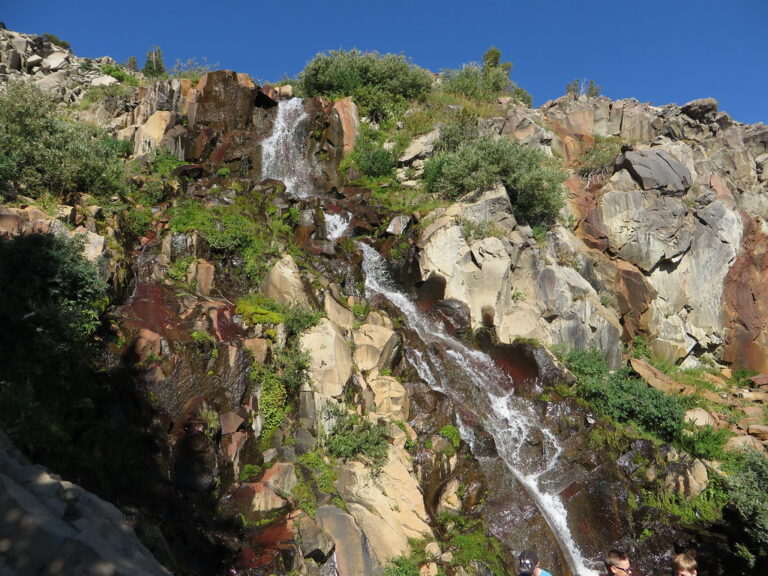
- On Galena Creek
- 6 mi from Incline Village
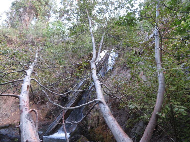
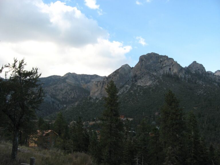
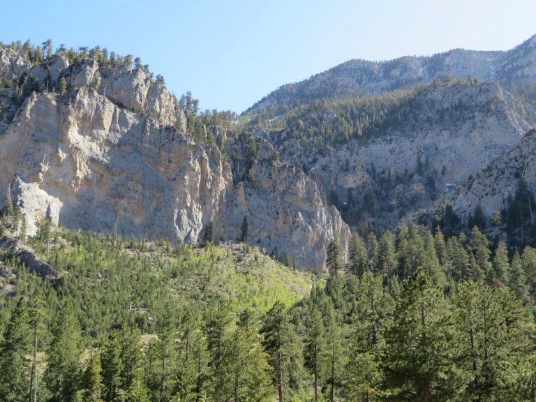

- On Thomas Creek
- 12 mi from Spring Creek
- On Right Fork Lamoille Creek
- 10 mi from Spring Creek
Nevada's waterfalls, snowmelt drops in a desert state's few wet ranges
Nevada is built on fault-block mountains rising out of dry basins, and only a handful of those ranges hold streams that survive long enough on spring snowmelt to drop over rock. The state's 25 named waterfalls cluster in three such ranges: the Ruby Mountains in the northeast, the Spring Mountains and Red Rock Canyon near Las Vegas, and the Carson Range west of Reno. Most are short, lightly documented drops on mountain creeks rather than dramatic plunges.
Where the waterfalls are
Elko County holds the largest share, 9 listings on creeks draining the glacially carved Ruby Mountains into Lamoille Canyon, among them Lamoille Falls, Thomas Creek Falls, Right Fork Cascades and Rabbit Creek Falls. Clark County has 8 listings split between two ranges near Las Vegas: the Spring Mountains around Mt. Charleston, with Mary Jane Falls, Little Falls, Big Falls and Charlston Peak Falls, and the sandstone canyons of Red Rock Canyon National Conservation Area, with Pine Creek Falls, Lost Creek Falls, Icebox Canyon Falls and Icecube Falls. Washoe County, in the Carson Range west of Reno, adds Galena Creek Falls, Hunter Creek Falls and Jumbo Falls, and Carson City has one listing, Kings Canyon Falls, in the same range. Single, sparsely documented drops round out Churchill, Lander, Lincoln and Nye counties.
Waterfalls worth the trip
- Galena Creek Falls, 85 feet, is a horsetail on Galena Creek beside the Mount Rose Trail; it can stay buried in snow into July but keeps some flow into late summer.
- Hunter Creek Falls, 35 feet, drops on Hunter Creek at the end of a steep, rocky trail west of Reno; Travel Nevada's own trailhead page gives 30 feet.
- Little Falls, in the Spring Mountains, is reachable from the Cathedral Rock Trailhead after reopening in 2024, following storm damage that closed much of the surrounding Kyle Canyon area.
- Lamoille Falls, on Lamoille Creek in glacially carved Lamoille Canyon, sits along the same road that reaches most of Elko County's other listings.
When to go
Snowmelt drives the season everywhere: Galena Creek Falls can be under snow into July and thins by late summer, and Ruby Mountains creeks follow the same pattern. The Lamoille Canyon Scenic Byway that reaches most of Elko County's falls closes each winter and reopens in spring, and Mt. Charleston's trails ice over in winter.
Fees, permits and closures
Red Rock Canyon National Conservation Area requires a timed-entry reservation for its 13-mile Scenic Drive from October 1 through May 31, 8 a.m. to 5 p.m.; standard entry runs $20 a vehicle. In the Spring Mountains National Recreation Area, day-use picnic areas charge a fee and run 10 a.m. to 5 p.m., except free Sawmill; a federal interagency pass covers most sites but not the Visitor Gateway or the Foxtail and Cathedral Group picnic areas. Mary Jane Falls Trailhead and Trail, plus Trail Canyon Trail, Echo Road and the Powerline Access Road, stay closed under a Forest Service order tied to 2023 flash-flood damage, in force through May 2027. Lamoille Canyon Road closes to vehicles above Lions Camp Lamoille from mid-September 2026 for about a month of reconstruction; the canyon stays open on foot, though Thomas Canyon Campground closes.
Safety
The route to Hunter Creek Falls is steep, rocky and narrow, with drop-offs that make it a poor choice for small children; keep dogs leashed. Around Mary Jane Falls, the 2023 flood left unstable, storm-damaged ground, which is why the area stays closed.
Waterfalls in Nevada on the map
Numbers show how many sit in that area; zoom in or click to split them, click a marker for details.
Tallest waterfalls in Nevada
- Upper Thomas Creek Falls280 ftElko County
- Right Fork Cascades140 ftElko County
- Galena Creek Falls85 ftWashoe County
- Lamoille Falls75 ftElko County
- Hunter Creek Falls35 ftWashoe County
- Kings Canyon Falls35 ftCarson City
- Jumbo Falls25 ftWashoe County
- Thomas Creek Falls25 ftElko County
Waterfalls by county
Nevada has named waterfalls in 8 counties. The most are in Elko County (9), Clark County (8), Washoe County (3), Nye County (1), Carson City (1), Lander County (1). Every county has its own page with a map and the tallest falls:
- Carson City 1
- Churchill County 1
- Clark County 8
- Elko County 9
- Lander County 1
- Lincoln County 1
- Nye County 1
- Washoe County 3
Types of waterfalls in Nevada
plunge (2), ephemeral (2), horsetail (1), dam (1). What the types mean is explained in the guide to waterfall types.
About the data
Of the 25 waterfalls in Nevada, 8 have a measured height, 2 have coordinates verified against aerial imagery and 4 have photos. Heights are the total drop as recorded by the source; falls without a measurement are listed without one. Every page has the stream, the nearest town and distance, a map with directions and a review form for photos and notes.