Waterfalls in Ohio
26 waterfalls in Ohio across 11 counties, from the USGS dataset; 20 with a measured height. The tallest is Big Spring Hollow Falls at 120 ft. All US waterfalls.
State: Ohio 47
- Alabama 97
- Arizona 66
- Arkansas 280
- California 1,039
- Colorado 345
- Connecticut 79
- Florida 3
- Georgia 298
- Idaho 249
- Illinois 20
- Indiana 24
- Iowa 8
- Kansas 24
- Kentucky 65
- Louisiana 6
- Maine 175
- Maryland 13
- Massachusetts 37
- Michigan 294
- Minnesota 43
- Mississippi 8
- Missouri 11
- Montana 252
- Nebraska 14
- Nevada 25
- New Hampshire 264
- New Jersey 5
- New Mexico 20
- New York 879
- North Carolina 495
- North Dakota 1
- Ohio 26
- Oklahoma 30
- Oregon 1,342
- Pennsylvania 274
- Rhode Island 5
- South Carolina 22
- South Dakota 10
- Tennessee 427
- Texas 71
- Utah 76
- Vermont 229
- Virginia 127
- Washington 2,596
- West Virginia 13
- Wisconsin 83
- Wyoming 267
- 2 mi from Newburgh Heights
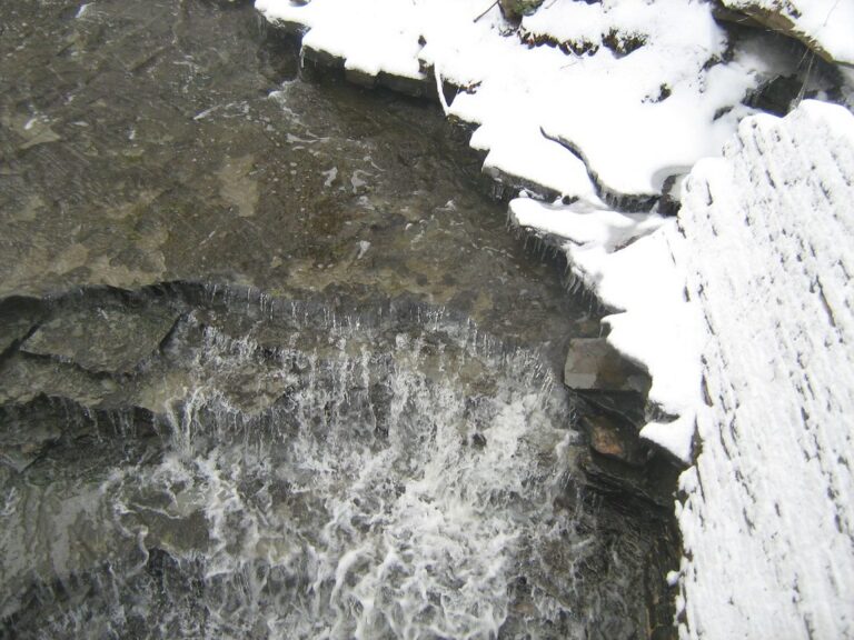
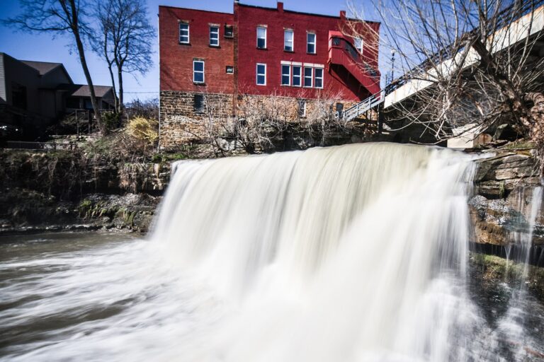
- On Chagrin River
- Under 1 mi from Chagrin Falls
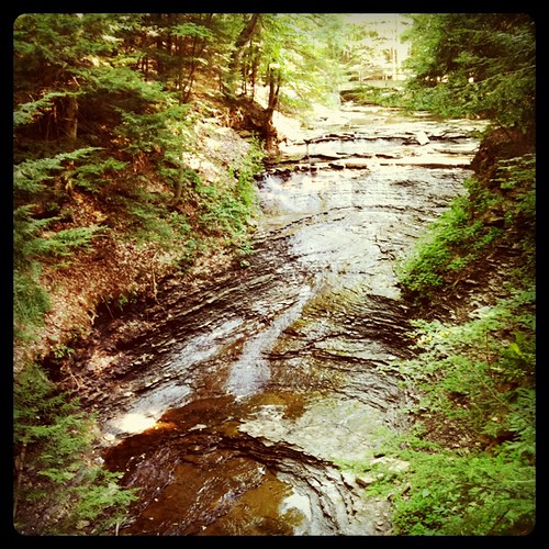
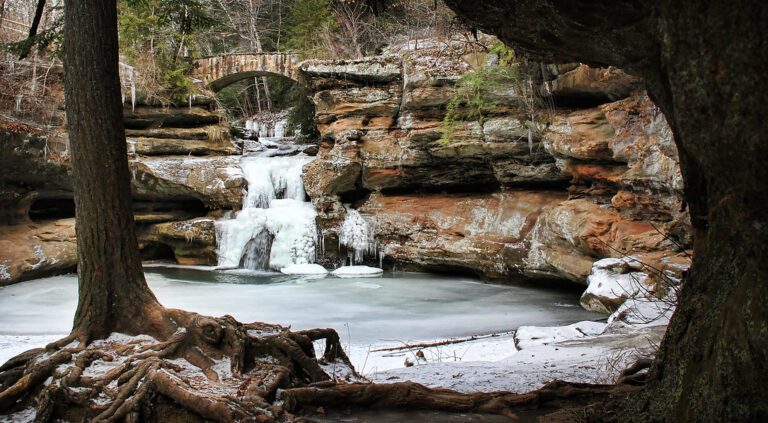
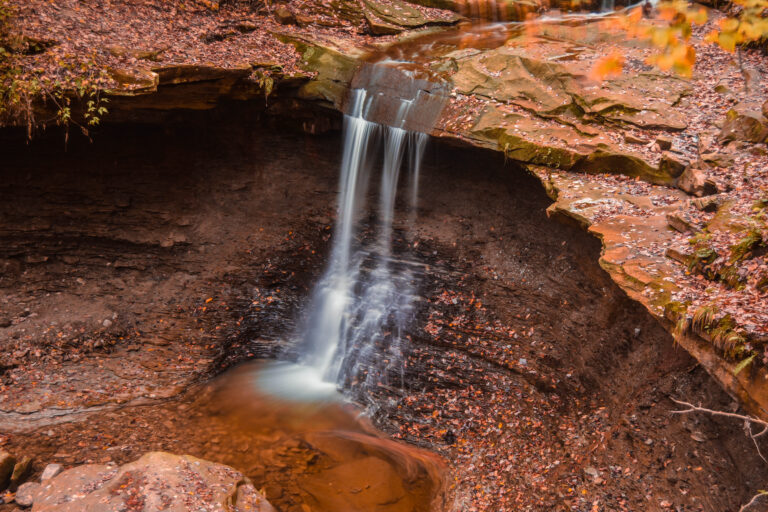

- On Tinkers Creek
- Under 1 mi from Bedford
Ohio's waterfalls, from Hocking Hills to the Cuyahoga Valley
Only 26 named waterfalls break up Ohio's mostly flat, farmed landscape, most of them where a river found a resistant cap rock instead of the soft till around it. Around Logan in the southeast, Hocking Hills' cliffs and gorges are cut into Black Hand Sandstone. In the northeast, a cap of Berea Sandstone over softer shale lets Brandywine Creek and the Chagrin River drop cleanly into the Cuyahoga Valley and through a village that took the waterfall's name. The rest are spread one or two to a county, across 11 counties in all.
Where the waterfalls are
Hocking County holds the largest cluster, 7 listings around Hocking Hills State Park: Old Man's Cave, Ash Cave, Cedar Falls, Conkles Hollow and the more remote Big Spring Hollow Falls in the adjoining state forest. Cuyahoga County has 6 listings and neighboring Summit County has 3, split between Cuyahoga Valley National Park and Cleveland Metroparks, home to Bridal Veil Falls and Mill Creek Falls. Miami County has 3 falls on small western creeks, including Ludlow Falls; Ashland County has one in Mohican State Park; and Adams County's listing drops over limestone in the Edge of Appalachia preserve. Single falls round out Highland, Knox, Lake, Geauga and Tuscarawas counties. Beyond these, Clifton Gorge on the Little Miami River in Greene County has the 40-foot Amphitheater Falls in neighboring John Bryan State Park.
Waterfalls worth the trip
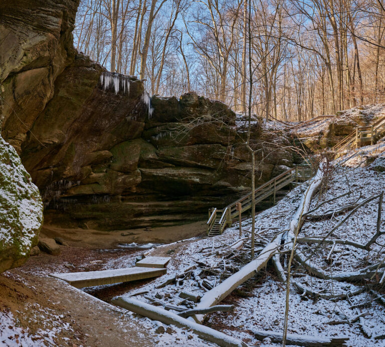
- Ash Cave Falls, 83 feet, drops into a horseshoe-shaped shelter with a 700-foot rim, reached by a paved, wheelchair-accessible quarter-mile trail.
- Cedar Falls, 50 feet, carries more water than any other fall in Hocking County and is often named Ohio's most-photographed waterfall.
- Upper Falls, 15 feet, opens the Old Man's Cave gorge trail, an accessible paved walk of over half a mile from the visitor center; the loop continues past Middle Falls to the 25-foot Lower Falls over about 1 to 1.5 miles.
- Big Spring Hollow Falls, 120 feet by state lidar survey, is Ohio's tallest confirmed waterfall, reached by a 1.2-mile trail off Big Pine Road in Hocking State Forest and running only after heavy rain or snowmelt.
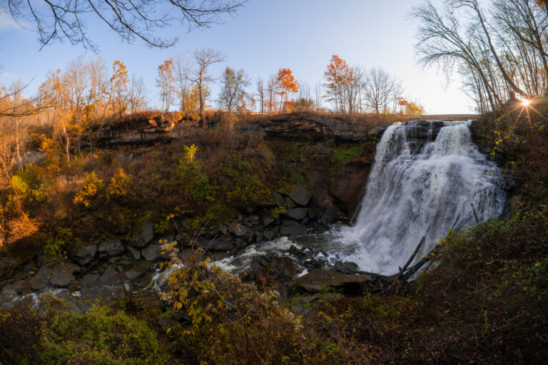
- Brandywine Falls, 55 feet, drops inside Cuyahoga Valley National Park; a boardwalk reaches an accessible upper view, about 80 steps lead to a lower deck, and the 90-space lot often fills by 10 a.m. on weekends.
- Blue Hen Falls, 12 feet, is a 3-mile round trip with 580 feet of climbing from the Boston Trailhead.
- Chagrin Falls, 20 feet, drops through the village that took its name, once the site of nine mills.
When to go
Spring is the reliable season: Old Man's Cave runs strongest from late April through mid-May and can be down to a trickle by late July, and the smaller Cedar Falls in the Edge of Appalachia preserve follows the same pattern. Big Spring Hollow Falls flows only after heavy rain or snowmelt, and Ash Cave forms an ice dome in January and February. At Brandywine Falls, heavier flow follows storms while a thinner flow shows off its veil pattern best, and ice can close the boardwalk in winter. Hocking Hills' trails stay open dawn to dusk all year.
Admission and closures
Hocking Hills State Park charges no admission at Ash Cave, Cedar Falls, Old Man's Cave or Conkles Hollow. Cuyahoga Valley National Park also has no entrance fee, with 2026 fee-free days including February 16 and July 3-5; the park bans entry within 50 feet of Brandywine Falls and bans climbing there and at Blue Hen Falls. Buttermilk Falls, also in Summit County, is posted private property closed to the public: follow the postings. The Edge of Appalachia preserve is free but bans pets, bikes, camping and swimming on its Cedar Falls trail. Chagrin Falls bans swimming and diving from the riverfront, and its stairway rebuild, begun in October 2025, has left the viewing steps only partly open.
Safety
Cuyahoga Valley's rules point to real hazards: wet rock at the top and bottom of Brandywine Falls, and a steep, rocky trail to Blue Hen Falls. Hocking Hills' trail map tells visitors to stay on marked paths, bans swimming and wading, and warns that steps and ledges ice over in winter. Below Cedar Falls in the Edge of Appalachia preserve, cliffs above the gorge run up to 70 feet, and hikers must stay on the trail.
Waterfalls in Ohio on the map
Numbers show how many sit in that area; zoom in or click to split them, click a marker for details.
Tallest waterfalls in Ohio
- Big Spring Hollow Falls120 ftHocking County
- Ash Cave Falls83 ftHocking County
- Edison Hollow Falls80 ftHocking County
- Brandywine Falls55 ftSummit County
- Cedar Falls50 ftHocking County
- Big Lyons Falls45 ftAshland County
- Cascade Falls45 ftLake County
- Mill Creek Falls45 ftCuyahoga County
- Deans Fall40 ftGeauga County
- Buttermilk Falls30 ftSummit County
Waterfalls by county
Ohio has named waterfalls in 11 counties. The most are in Hocking County (7), Cuyahoga County (6), Miami County (3), Summit County (3), Ashland County (1), Lake County (1). Every county has its own page with a map and the tallest falls:
- Adams County 1
- Ashland County 1
- Cuyahoga County 6
- Geauga County 1
- Highland County 1
- Hocking County 7
- Knox County 1
- Lake County 1
- Miami County 3
- Summit County 3
- Tuscarawas County 1
Types of waterfalls in Ohio
plunge (2), historical (1). What the types mean is explained in the guide to waterfall types.
About the data
Of the 26 waterfalls in Ohio, 20 have a measured height, 6 have coordinates verified against aerial imagery and 9 have photos. Heights are the total drop as recorded by the source; falls without a measurement are listed without one. Every page has the stream, the nearest town and distance, a map with directions and a review form for photos and notes.
Find waterfalls near me · All US waterfalls
Sources
- en.wikipedia.org
- explorehockinghills.com
- explorehockinghills.com
- worldwaterfalldatabase.com
- thehockinghills.org
- worldwaterfalldatabase.com
- columbusnavigator.com
- worldwaterfalldatabase.com
- home.nps.gov
- home.nps.gov
- home.nps.gov
- home.nps.gov
- worldwaterfalldatabase.com
- chagrinfallsoh.gov
- worldwaterfalldatabase.com
- nature.org
- worldwaterfalldatabase.com