Rapids in the United States
1,082 river rapids in 39 states from the USGS dataset, with the river, county, nearest town and directions. Whitewater class is being added rapid by rapid.
Browse by state 39
- Alabama 8
- Arizona 104
- Arkansas 3
- California 6
- Colorado 7
- Connecticut 4
- District of Columbia 1
- Florida 1
- Georgia 13
- Idaho 94
- Illinois 2
- Indiana 5
- Kentucky 4
- Maine 108
- Maryland 8
- Massachusetts 3
- Michigan 15
- Minnesota 21
- Missouri 13
- Montana 31
- Nebraska 3
- Nevada 8
- New Hampshire 22
- New Mexico 18
- New York 28
- North Carolina 30
- Ohio 2
- Oregon 160
- Pennsylvania 3
- South Carolina 36
- Tennessee 52
- Texas 4
- Utah 54
- Vermont 11
- Virginia 10
- Washington 43
- West Virginia 23
- Wisconsin 122
- Wyoming 2
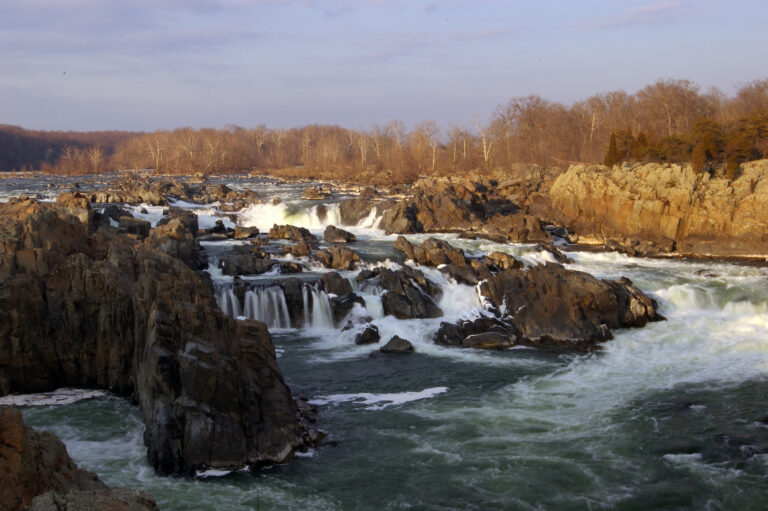
- 2 mi from Great Falls
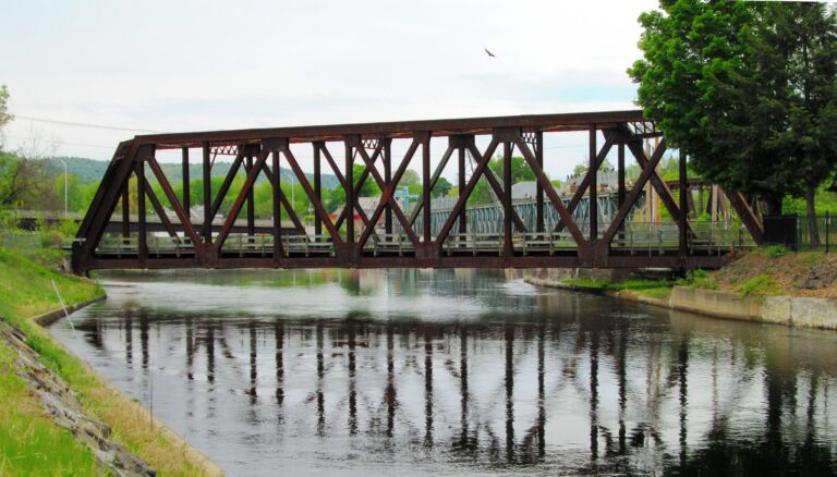
- On Connecticut River
- Under 1 mi from Bellows Falls
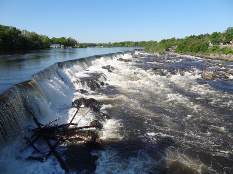
- 1 mi from Lowell
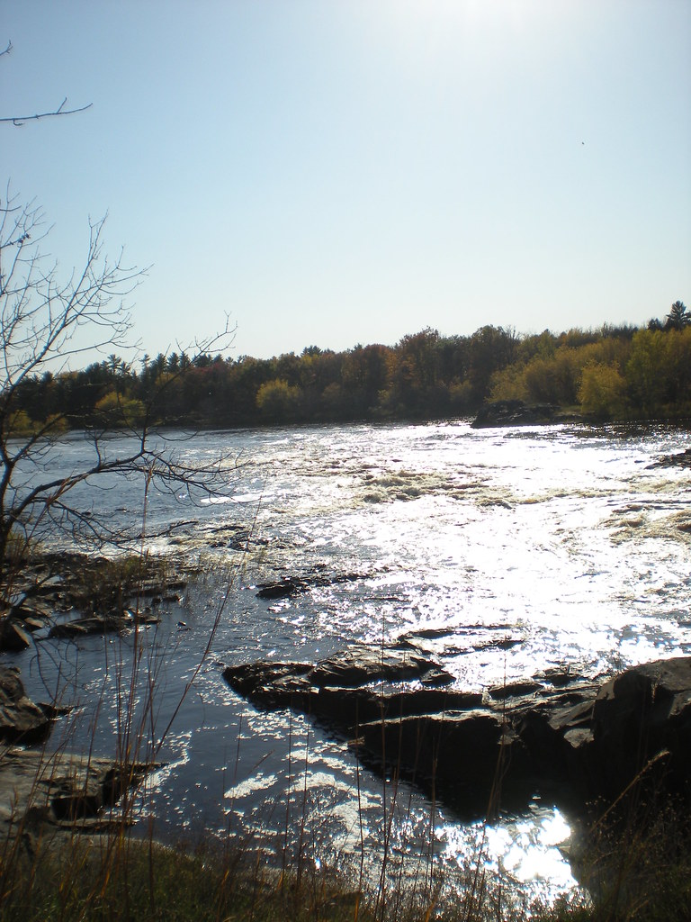
- On Menominee River
- 15 mi from Norway

- On Potomac River
- Under 1 mi from Brookmont
- On Lamprey River
- 2 mi from Newmarket
- On Presque Isle River
- 12 mi from Wakefield
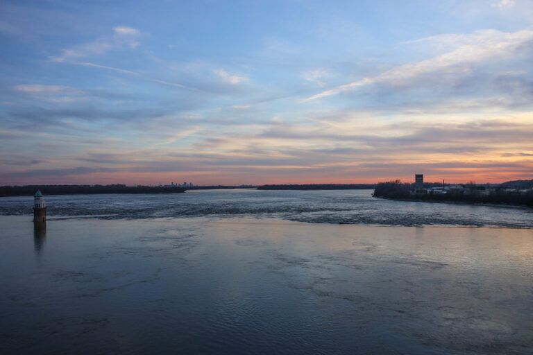
- On Mississippi River
- 1 mi from Glasgow Village
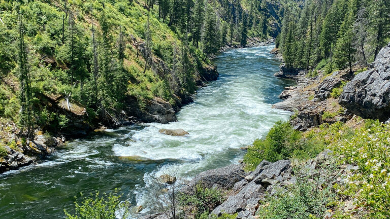
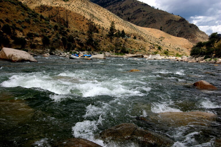
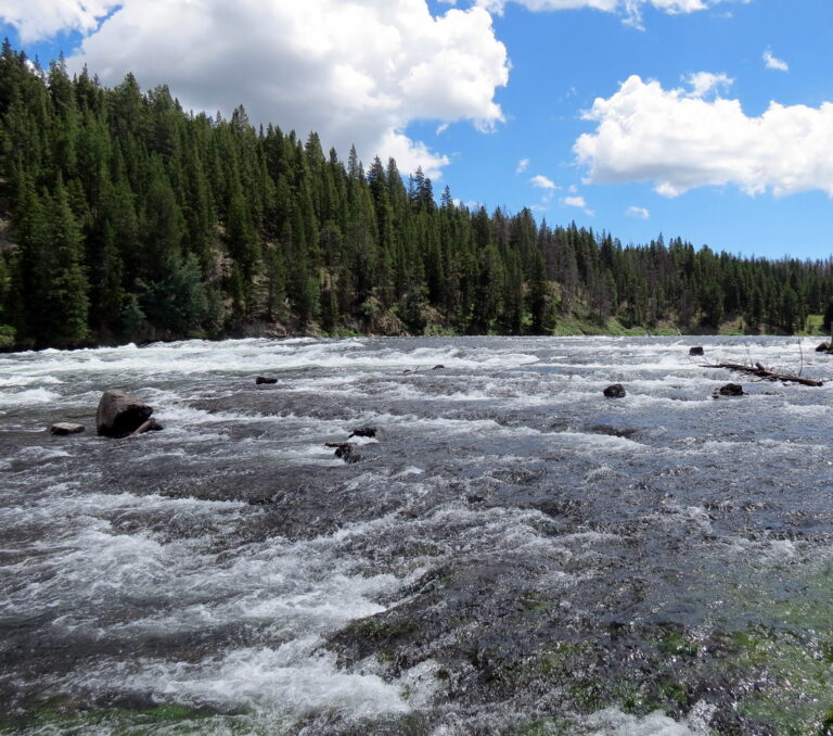
![[IDAHO-B-0124] Snake River - Dolmans Rapids](https://fallsdiscovery.com/wp-content/uploads/2026/09/7150520407_7c150d8367_b-768x486.jpg "[IDAHO-B-0124] Snake River - Dolmans Rapids")
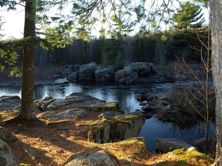
- 10 mi from Merrill

- On West Fork Montreal River
- 5 mi from Hurley
About this catalogue
This is a list of the 1,082 named river rapids in the United States recorded by the U.S. Geological Survey. Rapids are kept apart from waterfalls because the survey classifies them separately: a rapid is a stretch of fast, turbulent water over a steep or rocky riverbed, not a drop. Each rapid has a page with its position on the river, the county and state, the nearest town and distance, the nearby waterfalls and rapids, and reviews from paddlers and anglers.
Whitewater class. The International Scale of River Difficulty (Class I to VI) is being added rapid by rapid from guidebooks and paddling reports. Where it is known it appears on the card; where it is not, the page says so rather than guessing.
Historical rapids. Some entries are rapids that no longer exist: drowned by a dam, blasted for navigation or changed by a flood. They stay in the catalogue because the name survives on maps and in local use.
By state. Oregon (160), Wisconsin (122), Maine (108) have the most named rapids; each of the 39 states has its own page, reached from “Browse by state” above the list. Looking for one close by? Use rapids near me. Waterfalls have their own catalogue.