Rapids in Maine
108 river rapids in Maine across 9 counties, from the USGS dataset. The tallest is Debsconeag Falls at 28 ft. All US rapids.
State: Maine 39
- Alabama 8
- Arizona 104
- Arkansas 3
- California 6
- Colorado 7
- Connecticut 4
- District of Columbia 1
- Florida 1
- Georgia 13
- Idaho 94
- Illinois 2
- Indiana 5
- Kentucky 4
- Maine 108
- Maryland 8
- Massachusetts 3
- Michigan 15
- Minnesota 21
- Missouri 13
- Montana 31
- Nebraska 3
- Nevada 8
- New Hampshire 22
- New Mexico 18
- New York 28
- North Carolina 30
- Ohio 2
- Oregon 160
- Pennsylvania 3
- South Carolina 36
- Tennessee 52
- Texas 4
- Utah 54
- Vermont 11
- Virginia 10
- Washington 43
- West Virginia 23
- Wisconsin 122
- Wyoming 2
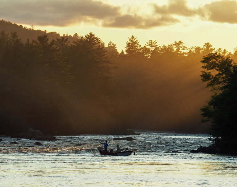
- On West Branch Penobscot River
- 14 mi from Millinocket
- On East Branch Penobscot River
- 17 mi from Patten
- On East Branch Penobscot River
- 15 mi from Patten
- On East Branch Penobscot River
- 16 mi from Patten
- On Penobscot River
- Under 1 mi from Orono
- On East Branch Penobscot River
- 14 mi from Patten
- On West Branch Penobscot River
- 17 mi from Millinocket
- On West Branch Penobscot River
- 23 mi from Millinocket
Rapids in Maine on the map
Numbers show how many sit in that area; zoom in or click to split them, click a marker for details.
Rapids by county
Maine has named rapids in 9 counties. The most are in Washington County (40), Aroostook County (22), Penobscot County (20), Piscataquis County (11), Somerset County (8), Hancock County (3). Every county has its own page with a map and the tallest falls:
- Aroostook County 22
- Cumberland County 2
- Hancock County 3
- Knox County 1
- Lincoln County 1
- Penobscot County 20
- Piscataquis County 11
- Somerset County 8
- Washington County 40
Types of rapids in Maine
rapids (108).
About the data
The 108 rapids in Maine come from the USGS Geographic Names Information System. Whitewater class is being added from guidebooks and paddling reports; 55 have coordinates verified against aerial imagery. Every page has the river, the nearest town and distance, a map with directions and a review form.