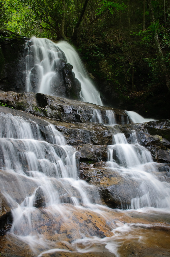
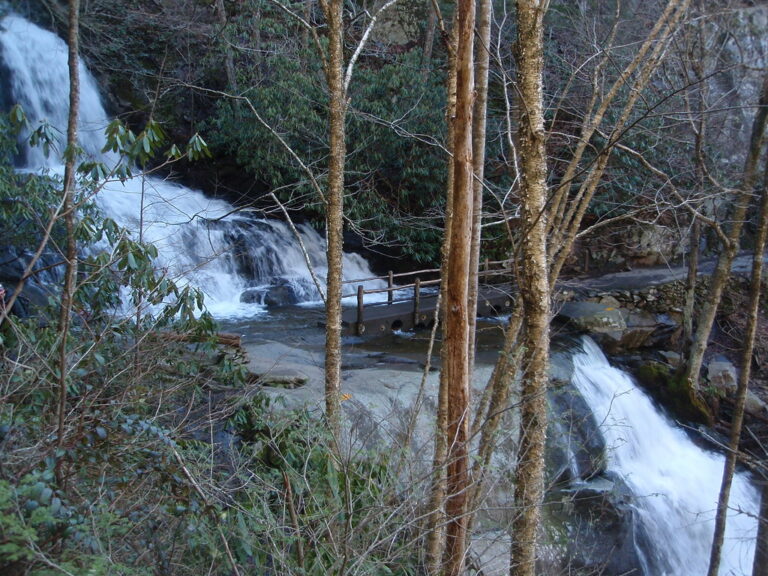
Laurel Falls is a 60-foot tiered waterfall on Laurel Branch in Great Smoky Mountains National Park, Sevier County, Tennessee; its trail has been closed for rehabilitation since January 2025.
The falls
Laurel Branch drops in three horsetail steps, two above the approach trail and one below, for a lidar-measured total of 60 feet with a tallest single drop of 25 feet. The National Park Service instead gives 80 feet, divided into upper and lower sections.
Getting there
The former visitor route began about three miles west of the Sugarlands Visitor Center and ran 2.6 miles round trip. It has been closed since January 6, 2025 for a major rehabilitation, including redesign of the lower viewing platform; a July 31, 2026 update pushed the expected reopening to sometime in 2027 because of unexpected geotechnical conditions. The closure also covers the junction approaches from Little Greenbrier and Cove Mountain, the parking lot and Sugarland Mountain trail access. Elsewhere in the park, parking requires a tag costing $5 daily, $15 weekly or $40 annually for stops over 15 minutes; federal entrance passes do not substitute.
History and name
A park history dates the trail's construction to July 1932, for fire access, with paving added in 1963 and a concrete bridge built in 1995.
Nearby
Mannis Branch Falls is about 1.9 miles away, Cataract Falls about 3.2 miles, Huskey Branch Falls about 3.6 miles, and Sinks, The about 3.9 miles.
Distances are straight-line.