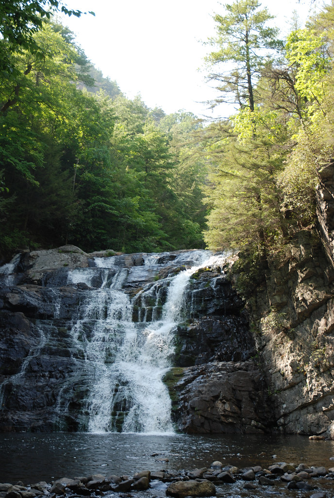
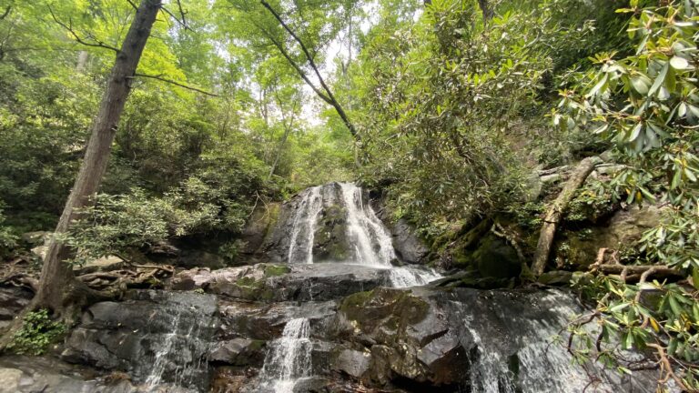
Laurel Falls is a 75-foot plunge waterfall on John McNabb Branch in Marion County, Tennessee, on the Tennessee Valley Authority's Raccoon Mountain reservation near Chattanooga.
The falls
A lidar survey puts the total drop at about 75 feet, well above the roughly 48 feet published earlier. The waterfall sits below Raccoon Mountain, where a pumped-storage reservoir has displaced most of John McNabb Branch's natural watershed, leaving only about 20 acres of drainage above the falls. Flow is effectively dewatered most of the time, with brief flow possible after heavy rain.
Getting there
The reservation's hiking and biking network is reached from Laurel Point, which provides trail access to the area. A trailhead sign near the Laurel Point parking area, seen by a visitor in 2020, gave the Laurel Falls overlook as 0.7 mile one way on the Tennessee River Gorge Trail. That visitor left the marked route for informal paths near Megawatt and the dam spillway and found the falls mostly blocked from view by trees.
When to go
The stream carries little water most of the year. In February 2020 a visitor described only a thin flow through the trees. Any noticeable flow is most likely soon after heavy rain.
On site
The informal paths that visitors have used while looking for a closer view do not lead to an established overlook, and trees block much of the falls from them. Swimming rules, dog policy and any recorded accidents at the falls are not documented.
History and name
The falls lie below the Raccoon Mountain pumped-storage project, built between 1970 and 1978, which lifts water from Nickajack Reservoir and releases it later through underground turbines; the upper reservoir now covers most of the stream's original watershed. Laurel Falls is the name recorded for the site.
Nearby
Ruby Falls is about 4.4 miles away. Middle Creek Falls is about 5.3 miles, Julia Falls about 5.6 miles, and Glen Falls also about 5.6 miles.
Distances are straight-line.