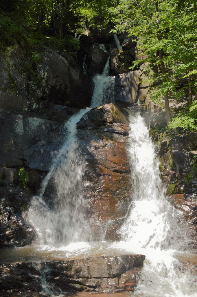
Buttermilk Falls is a 40-foot steep cascade on Buttermilk Creek in Falls Township, Wyoming County, Pennsylvania, close to where the creek meets the Susquehanna River. The township takes its name from these falls, which once powered its mills.
The falls
Buttermilk Creek slides down a steep face of Catskill Formation sandstone under overhanging hemlocks, in a series of drops of roughly 10 to 35 feet along the creek. Lidar data puts the main fall at about 40 feet in a single drop; earlier surveys listed 30 feet. Browns Mill Falls is an unofficial alternative name.
Getting there
The falls sit by the junction of Buttermilk Road and Falls Road. From the river, the Endless Mountains water-trail map notes that paddlers can see the lower falls by passing beneath the railroad bridge at the mouth of Buttermilk Creek.
When to go
No flow information is available for Buttermilk Creek, so the best season is unknown.
On site
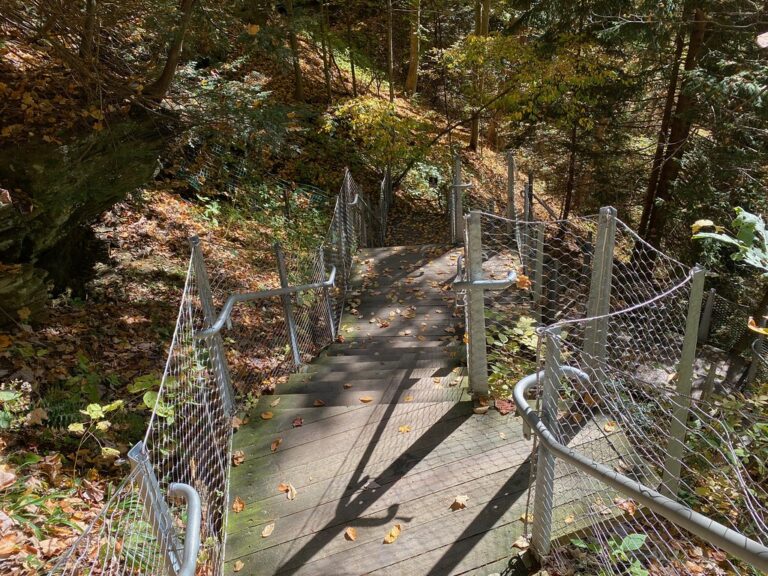
A visitor photo on Flickr is titled "Ramp down the stairs to Buttermilk Falls." Rules on swimming, dogs and reaching the base haven't been published.
History and name
Falls Township says it is named for the falls that run down from Lake Winola through the hills. In the late nineteenth century the township was a busy mill town, using the creek's power, and it later had its own passenger train station.
Nearby
Middle Buttermilk Falls is about 0.2 mile away and Upper Buttermilk Falls about 0.3 mile, both on Buttermilk Creek. Osterhout Falls is about 4.2 miles away.
Distances are straight-line.