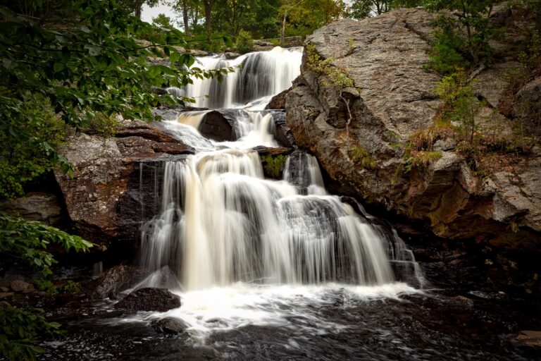
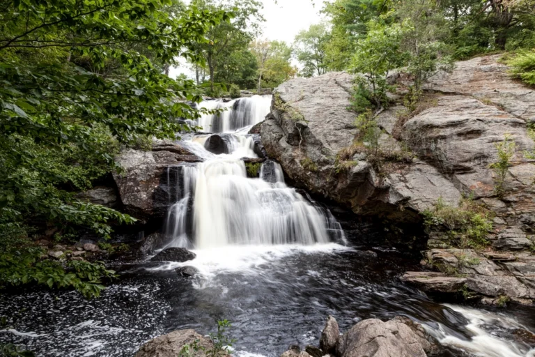
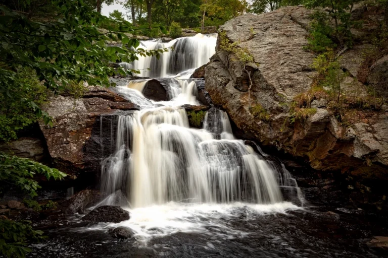
Chapman Falls is a 40-foot tiered waterfall on the Eightmile River in Devil's Hopyard State Park, East Haddam, Connecticut. The river steps down over three ledges of schist pocked with round potholes, and the falls sit a short walk from the park's parking, free to visit.
The falls
Lidar data puts the total drop at about 40 feet in three tiered plunges, the tallest about 15 feet. The state park still describes a drop of more than sixty feet; earlier surveys also listed 60 feet. The steps are cut in Scotland Schist. The rock around the falls is drilled with cylindrical potholes, from inches to several feet across and deep; geologists explain them as the work of stones caught in eddies and spun in place by the current. In normal flow the river pours over the ledges in broad blocks; in dry spells they thin into weak horsetails.
Getting there
Devil's Hopyard State Park, managed by the Connecticut Department of Energy and Environmental Protection, is at 366 Hopyard Road in East Haddam. It's open daily from 8 a.m. to sunset, and admission is free. AllTrails lists the Chapman Falls Loop at about 0.4 mile with roughly 50 feet of gain, rated moderate, starting from the Pavilion Parking off Hopyard Road. The east bank is the easier side; the return along the west bank crosses steeper, wet rock and fallen trees.
When to go
April through November is the recommended season. The falls are strongest after recent rain and the loop is used year-round.
On site
Swimming isn't offered at the park and is listed as not possible or prohibited. Dogs are allowed on leash on the hiking trails and in the picnic areas but not in the campground. The park's water is not safe to drink, so bring your own. The Eightmile River here is a designated National Wild and Scenic River.
History and name
Early settlers blamed the potholes on the devil: the park retells a legend that he got his tail wet in the falls and, in anger, burned holes in the stones with his hooves. Devil's Hopyard Falls is another name for the falls. East Haddam's 2023 archaeology survey request notes an Indigenous fishing site and the remains of historic saw, grist and fulling mills around the falls.
Nearby
Muddy Brook Falls is about 0.6 mile away. Sheepskin Hollow Falls is about 2.3 miles away, and Day Pond Brook Falls about 6.6 miles.
Distances are straight-line.