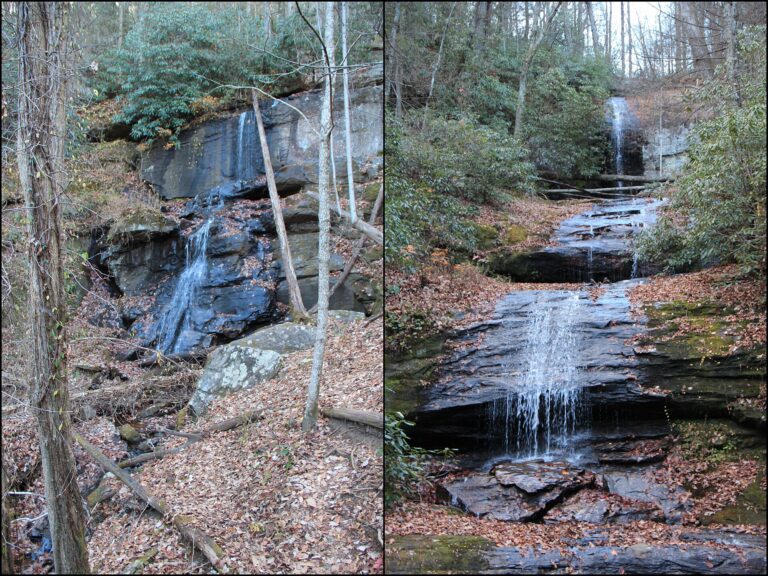
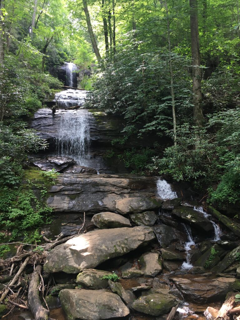
DeSoto Falls is a 125-foot tiered waterfall in the Chattahoochee National Forest in Lumpkin County, Georgia, and the main sight on the trail from the DeSoto Falls Recreation Area. It lies in a 650-acre scenic area in the Blue Ridge, at the end of a 0.75-mile walk to a viewing deck.
The falls
A lidar survey describes a series of tiered horsetails, about 20 feet wide on average, dropping about 125 feet in five main steps, the tallest about 35 feet. Earlier surveys listed 90 feet. On the trail this fall is signed as the upper falls, though it is called Middle DeSoto Falls: the lower, middle and upper falls each sit on a separate tributary of Frogtown Creek. Totals of around 500 feet, sometimes quoted for the whole group, add together falls on different streams.
Getting there
The recreation area is on Highway 19 about 18 miles north of Dahlonega, or 17 miles south of Blairsville on US 19/129, and is run by the Blue Ridge Ranger District. From the paid parking area the trail passes the picnic ground and crosses Frogtown Creek on a wooden bridge, where it splits. The lower falls are 0.25 mile one way, and the viewing deck for this fall is 0.75 mile one way, per the recreation area page. Both falls together are a 2.2-mile round trip, easy to moderate, with a $5 per vehicle parking fee.
When to go
The recreation area is open all year, and October is the recommended month for fall color. From April 1 through October 31 the campground has drinking water, showers and flush toilets; the water is shut off from November 1 to March 31.
On site
The observation deck is the viewpoint, and the recreation area also has picnic tables and toilets. The upper stretch of trail follows the creek through rhododendron and pine. Dogs must be leashed. The Forest Service warns that the rocks are slippery and the water fast, and asks visitors not to climb, stand on, swim near or jump from the waterfalls.
History and name
The falls are named for Hernando de Soto, the Spanish explorer who crossed Georgia around 1540. Trail signs say a plate of armor was found at the base of the falls in the 1880s; Atlanta Trails treats the link to de Soto's expedition as local lore.
Nearby
Lower DeSoto Falls, on the same trail, is about 0.6 mile away, and Upper DeSoto Falls, on its own tributary, about 0.5 mile. Blood Mountain Falls and Frogface Falls, both on Blood Mountain Creek, are each about 1.7 miles away.
Distances are straight-line.