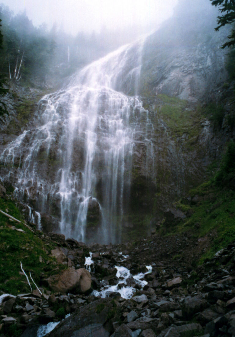
Spray Falls is a 354-foot horsetail waterfall on Spray Creek in the northwest corner of Mount Rainier National Park, Pierce County, Washington, pouring in a wide veil down a lava cliff below Spray Park. Once a short hike from Mowich Lake, it has been cut off from road access since the Carbon River bridge on SR-165 closed in April 2025.
The falls
Spray Creek, fed by snowpack and the last remnants of the Flett Glacier, starts about 10 feet wide at the lip and spreads to more than 100 feet across as it falls. It flows all year, strongest from May through late July during snowmelt.
Getting there
The Fairfax Bridge on SR-165, the only public road to both Carbon River and Mowich Lake, closed permanently to vehicles, bikes and people on foot on April 22, 2025. There is no alternate public route; roads shown on map apps are private and gated. The only way to Spray Falls now is a backpacking trip on the Wonderland Trail with a wilderness permit. In January 2026 the state was weighing a new bridge, which would take several years, against leaving the road closed.
Before the closure, the trail from Mowich Lake followed the Spray Park Trail about 2 miles to a short spur to the base of the falls. Mowich Lake, the largest and deepest lake in the park, has a walk-in wilderness camp that requires a permit.
Park admission is $30 per vehicle for seven days.
When to go
Spray Park and the falls are usually snow-free from July into early fall, the same window when Mowich Lake Road used to open.
On site
Stay on the trails in the fragile meadows of Spray Park. Pets are not allowed on park trails.
History and name
The falls were found around 1883 while the Bailey Willis Trail was being built, and their name, taken from their spray, passed to Spray Creek and Spray Park.
Nearby
Grant Creek Falls is about 0.2 mile away, and Tillicum Point Falls and South Spray Park Falls are each about 0.4 mile.
Distances are straight-line.