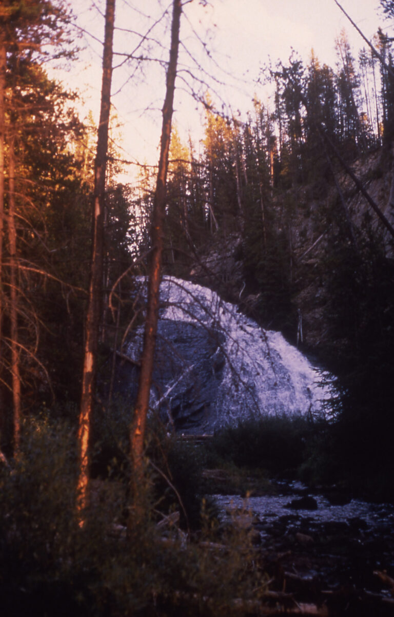
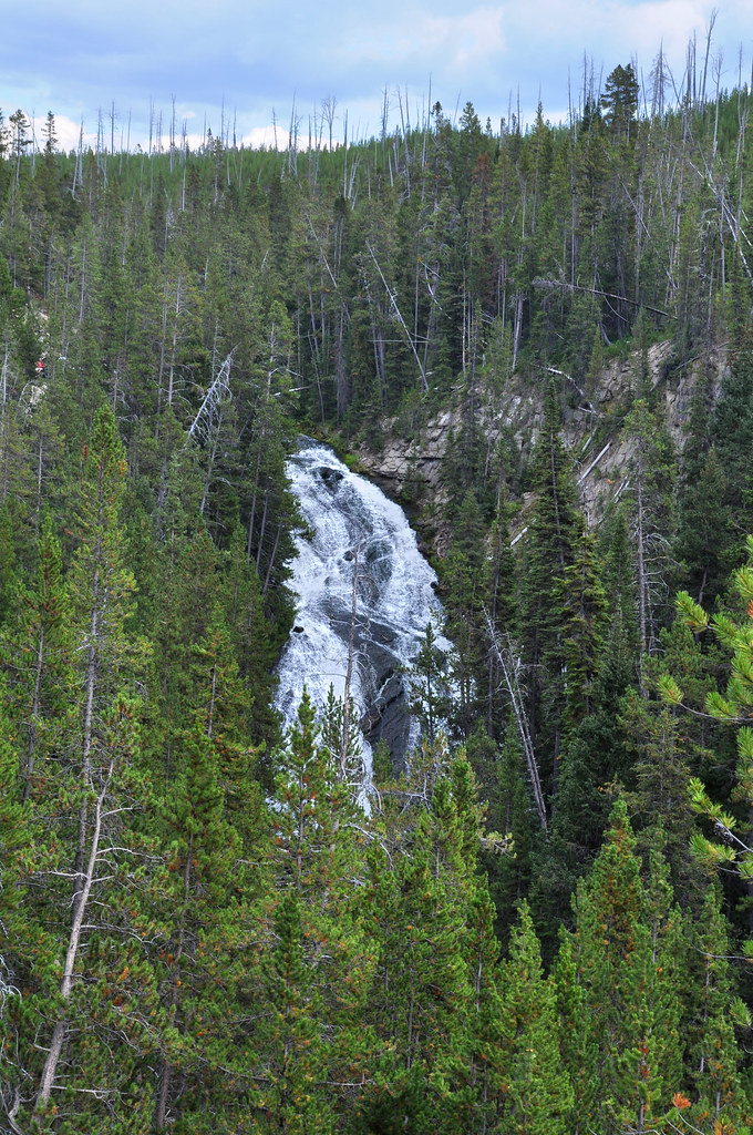
In Yellowstone National Park, Virginia Cascade slides 75 feet down the Gibbon River in Park County, Wyoming. The river flows down a sloping rock face just south of the Norris–Canyon road, where a one-way section of the historic carriage road provides roadside viewing from vehicles.
The falls
The Gibbon slides over the rock in a single drop. The cascade measures 75 feet, though earlier surveys listed 60 feet, a figure still found in park publications. Geological studies highlight the rock at Virginia Cascades as an example of an ash flow.
Getting there
The cascade is about 2.5 miles east of Norris Junction. Virginia Cascade Drive, a one-way paved section of the original wagon road, leaves the Norris–Canyon road and runs about 2.5 to 3 miles along the north side of the river past the falls. The historic roadway is narrow and winding beside the cascade.
Yellowstone admission is $35 per private vehicle for seven days, plus $100 per person for non-US residents aged 16 and older unless they hold an Annual or America the Beautiful Pass. The National Park Service manages the site.
When to go
The Norris–Canyon road is open April 17 to October 31, 2026. The scenic drive is a summer route subject to weather closures, and in winter it may open to cross-country skiing.
On site
The cascade is viewed from the drive itself; there is no documented trail to the base or the top.
History and name
Superintendent Philetus Norris called it Norris Falls in 1880. In 1886 Ed Lamartine, who built the first wagon road between Norris and Canyon, renamed it for Virginia Gibson, wife of Charles Gibson of the Yellowstone Park Association. Geologist Arnold Hague, who generally disliked naming scenery after people, kept the name because he favored place names borrowed from states.
Nearby
Devils Elbow Cascade is about 0.3 mile away, with Slippery Rock Cascade at 0.4 mile and Endless Cascades at 0.5 mile on Endless Cascades Creek. Little Gibbon Falls is about 1.6 miles away.
Distances are straight-line.