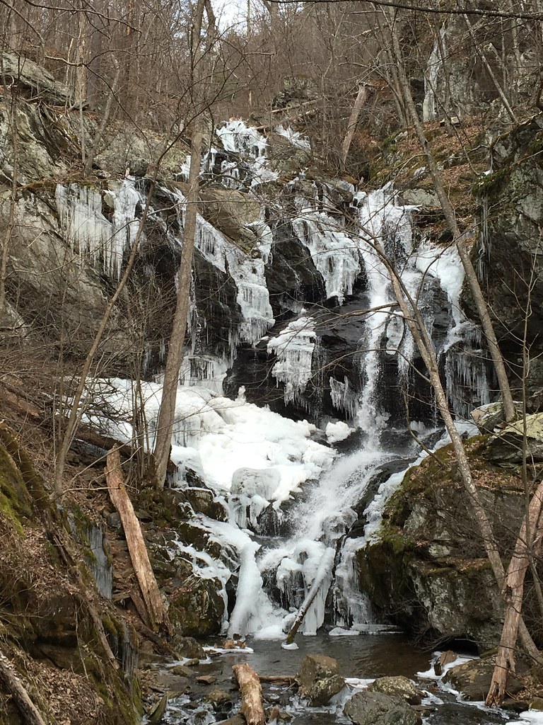
Doyles River Falls is a 91-foot pair of tiered waterfalls on the Doyles River in Shenandoah National Park, Albemarle County, Virginia. Two separate falls, Upper and Lower Doyles River Falls, sit one after the other on the same stream and are both reached on one moderate hike down from Skyline Drive.
The falls
The upper fall measures 28 feet and the lower one 63 feet, which together make up the 91-foot total; Virginia's tourism office describes the upper fall as about 30 feet in three tiers. The lower fall is the larger of the two, dropping in tiered horsetails. A lidar survey puts the lower fall alone at about 85 feet in two drops, the tallest 60 feet.
Getting there
The hike starts at the Doyles River Parking Area at mile 81.1 of Skyline Drive. The blue-blazed Doyles River Trail crosses the Appalachian Trail, passes side paths to the Doyles River Cabin, a Civilian Conservation Corps cabin from 1936, and to Browns Gap Road, then descends along the river; trail posts mark both falls. The out-and-back to the lower fall is 3.3 miles round trip with 1,189 feet of climbing, rated moderate, about 2 hours 15 minutes. A 2012 park map gives 2.7 miles round trip for the upper fall alone.
The park entrance fee applies: $30 per private vehicle for seven days or $15 per person aged 16 and older on foot or by bicycle. A $55 park annual pass and America the Beautiful passes are accepted, and payment is cashless. Skyline Drive can close in bad weather.
When to go
Both falls run strongest after a spell of heavy rain. One trail writer found the flow weak in early autumn and recommends an early start to beat the crowds.
On site
A stream crossing is on the trail. A trail account describes a short scramble to reach the base of the upper fall. Dogs are allowed on a leash no longer than 6 feet.
Nearby
Jones Run Falls is about 1.1 miles away, Riprap Run Falls about 7.4 miles and Blue Hole Falls on the South Fork Moormans River about 9 miles.
Distances are straight-line.