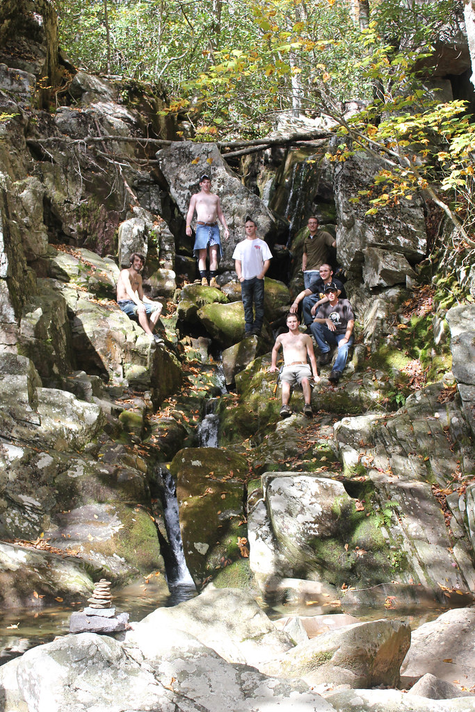
White Rock Falls drops about 25 feet on White Rock Creek in Nelson County, Virginia, off the Blue Ridge Parkway.
The falls
A lidar survey now measures the drop at 25 feet in a single fall, well below the 45-foot, two-drop figure used before. Virginia Tourism gives a third figure of 30 feet, describing a small-volume waterfall in a narrow rocky amphitheater with a pool below.
Getting there
White Rock Falls sits at milepost 20.0 on the Blue Ridge Parkway, with a longer connecting trail from White Rock Gap at milepost 18.5; both were shown open when checked in September 2026. The short route starts at The Slacks Overlook, crosses the Parkway, descends past an overlook, and reaches the falls spur near 0.9 mile; round trip for this route runs 1.8 to 2.0 miles, and the hike is rated moderate. The Blue Ridge Parkway charges no entrance fee. Exact elevation gain for the short route, hours, reservations and formal swimming permission are not documented.
When to go
The size of the falls depends on the season and on recent rainfall, with little flow in dry spells.
On site
The maintained trail follows a cliff before switching back to the base spur; the streambed itself is too steep and technical to use as a shortcut. The hike is dog-friendly.
History and name
Virginia Tourism attributes the creek and falls name to locally abundant quartz; the World Waterfall Database considers the name unofficial.
Nearby
Saint Marys Falls is about 3.4 miles away, Crabtree Falls about 4.2 miles, and Shamokin Falls about 7 miles.
Distances are straight-line.