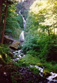
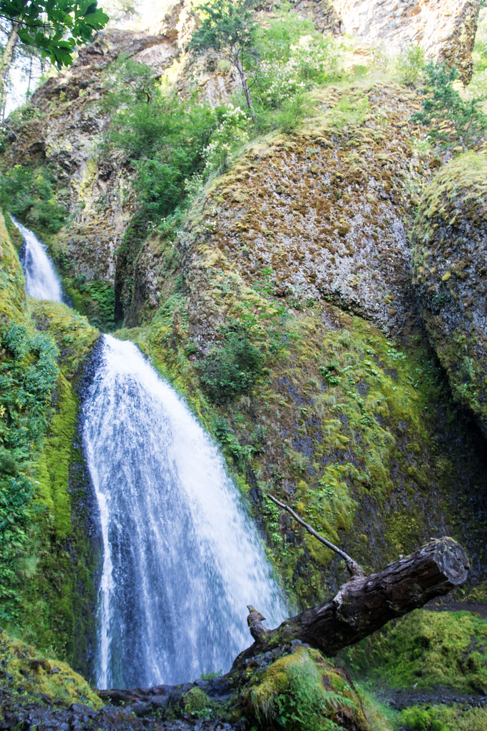
Wahkeena Falls is a 258-foot tiered horsetail waterfall on spring-fed Wahkeena Creek in the Columbia River Gorge, Multnomah County, Oregon. It spills down a narrow basalt cleft right above the Historic Columbia River Highway, and a paved path climbs to a stone footbridge at its base.
The falls
The creek drops in two horsetail tiers, the taller one 180 feet, then tumbles in smaller steps under maple trees toward the highway. An in-person survey and lidar data place the total height at 258 feet, just under 260 feet, while older records listed 242 feet. Springs keep the falls running all year.
Getting there
The falls have their own lot and picnic area on the south side of the Historic Columbia River Highway. From I-84 eastbound, take exit 28 (Bridal Veil) and continue 2.5 miles east on the highway; westbound, use exit 35 (Ainsworth). No pass is required, and the trailhead has restrooms. The $2 summer timed-use permit applies to the Multnomah Falls I-84 lot, not here.
From the lot, Wahkeena Trail 420 switchbacks up 0.2 to 0.3 mile along a paved path to the bridge, with the first stretch being wheelchair-accessible and two disabled parking spots provided by the highway. Above the bridge the trail climbs 400 feet in half a mile to Lemmons Viewpoint over the Columbia, spanning 2.8 miles out and back with 850 feet of gain.
The trailhead was open in January 2026, with some tree damage reported on the trail. The Historic Highway viaduct between Wahkeena and Multnomah Falls reopened in May 2025.
When to go
Flow peaks in winter and spring. Spray drifts over the bridge all year, and in winter ice can coat the approach and make it slippery.
On site
The 1914 stone footbridge is the main viewpoint, close enough to feel the spray. Dogs are permitted on leash. In November 2024, county deputies located a hiker who had become lost near Wahkeena after dark.
History and name
The falls were called Gordon Falls until 1915, when they were renamed Wahkeena, which the World Waterfall Database translates from Yakima as "most beautiful." Samuel Lancaster laid out the trails in 1914, and Simon Benson donated the 400-acre tract in 1915. The upper part of the falls was once known as The Necktie.
Nearby
Little Necktie Falls sits just upstream on Wahkeena Creek, while Fairy Falls and Mist Falls are about 0.3 mile away. Multnomah Falls is about 0.6 mile east.
Distances are straight-line.