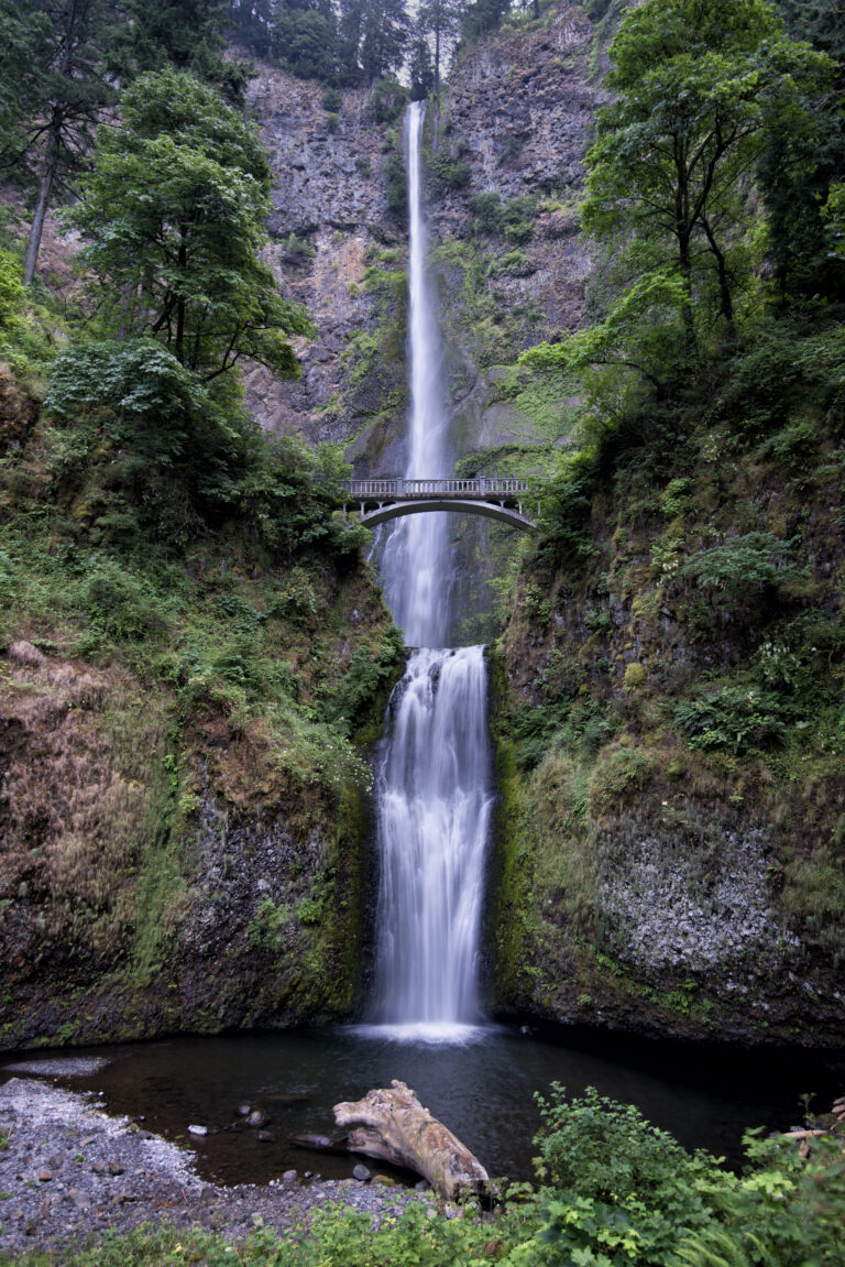
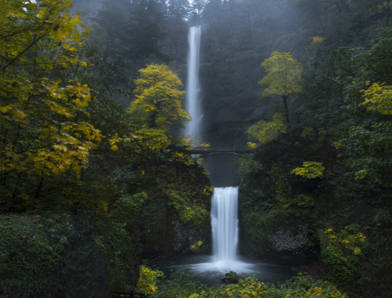
Multnomah Falls is a 632-foot tiered waterfall on Multnomah Creek in the Columbia River Gorge, Multnomah County, Oregon, with more than two million visitors a year. Its long upper plunge and the stone Benson Bridge across the lower tier are a short walk from Interstate 84.
The falls
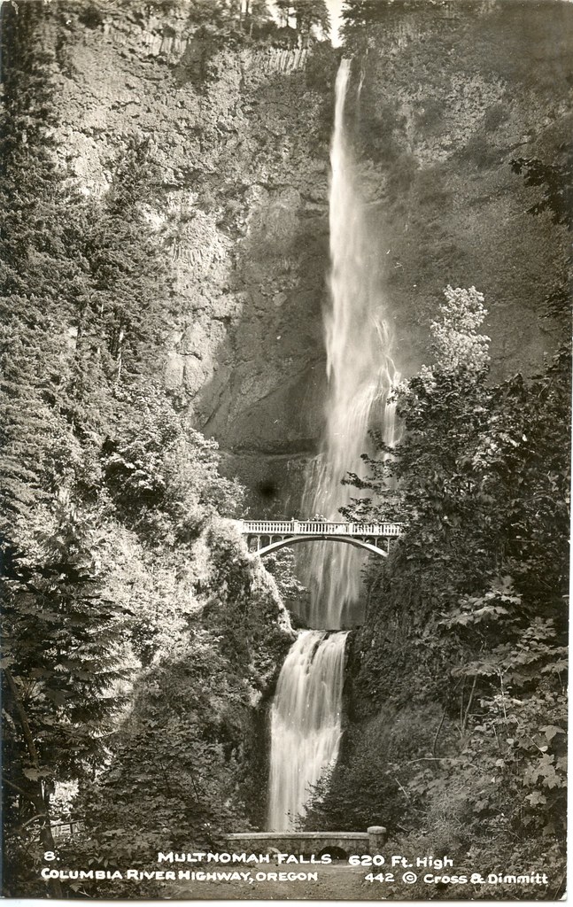
Multnomah Creek pours off the basalt cliffs of the gorge in a 542-foot plunge, drops through a short cascade and then falls another 69 feet under Benson Bridge. The total is 632 feet in four steps; earlier surveys and the Forest Service give 620 feet. Underground springs on Larch Mountain keep the falls running all year, with the most water in winter and spring. The hanging valley it spills from was left when the Ice Age Missoula floods scoured the gorge.
Getting there
The falls have their own parking lot in the middle of I-84, reached from exit 31. From late May to early September, 9 am to 6 pm, the lot requires a $2 timed-use permit booked on Recreation.gov; it is free outside those hours and with a lodge restaurant reservation. The small lot on the Historic Columbia River Highway costs $20 a day, and shuttles run from Troutdale and Portland: the Columbia Gorge Express leaves daily from Gateway Transit Center.
A paved path climbs 0.2 mile to Benson Bridge. The trail continues up switchbacks to a viewing platform at the top of the falls, 2.4 miles round trip with about 800 feet of gain.
When to go
The falls flow all year and are fullest from late fall through spring; in hard winter freezes the falls can partly freeze. The lot fills fastest on Fridays, weekends and holidays, so early mornings and weekdays are quieter.
On site
Multnomah Falls Lodge, built in 1925, has a restaurant, visitor center and restrooms. Dogs are welcome on leash. Stay on the paved trail and inside the railings: in 1995 a 400-ton boulder fell into the plunge pool and injured 20 people on the bridge, and in 2023 a hiker died after falling about 150 feet from one of the switchbacks. The 2017 Eagle Creek Fire closed the area for months; the trails to the top reopened in 2018.
History and name
Local legend tells of a young woman who leapt from the cliff to save her village from a plague. Lumberman Simon Benson bought the falls and gave them to Portland in 1915 and paid for the bridge, built by Italian stonemasons. Architect A. E. Doyle designed the lodge.
Nearby
Wiesendanger Falls and Ecola Falls are each about 0.4 mile away on the Larch Mountain Trail above, and Dutchman Falls about 0.3 mile.
Distances are straight-line.