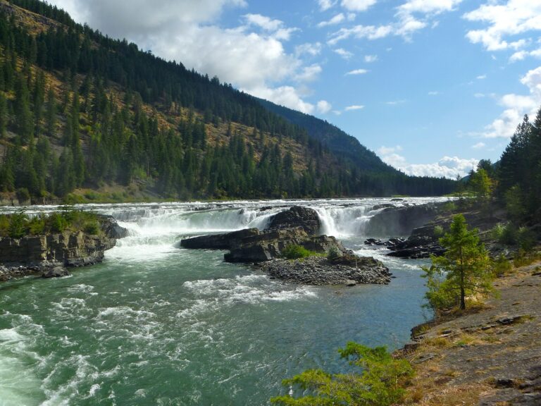
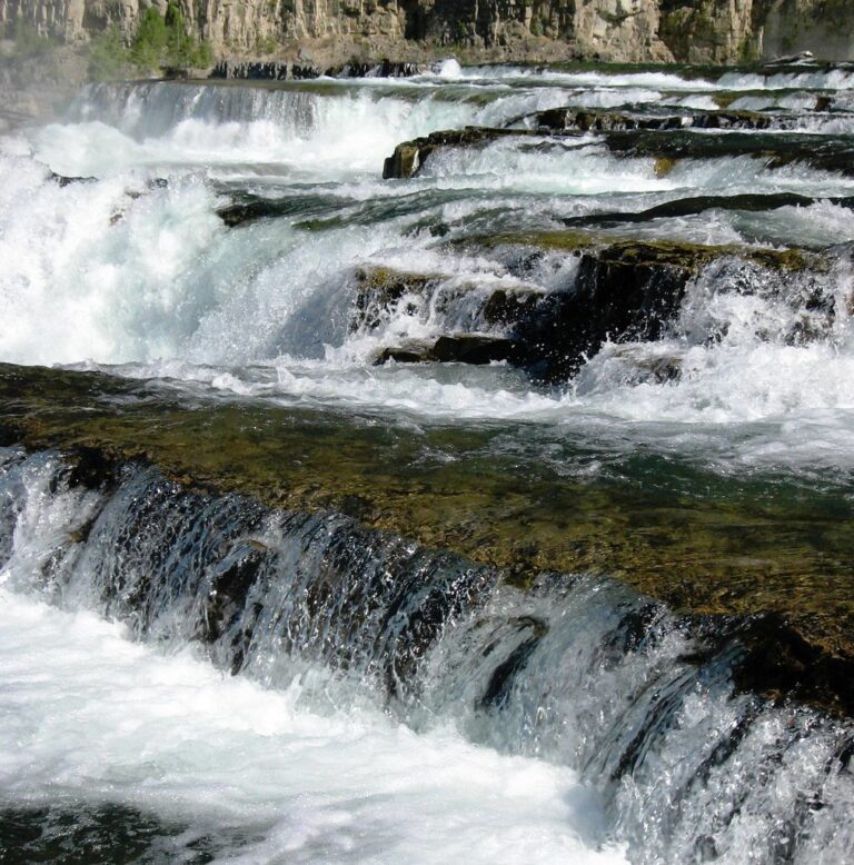
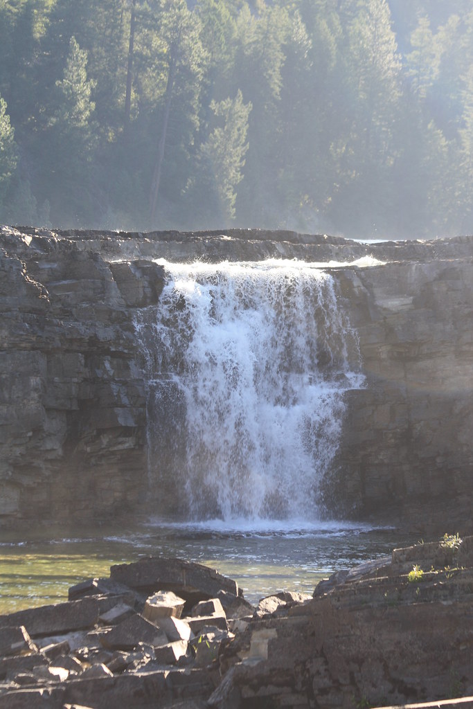
Kootenai Falls is a 55-foot waterfall on the Kootenai River in Lincoln County, Montana, where the river breaks over a series of ledges beside US Highway 2.
The falls
The river drops in a series of short steps totaling 55 feet, with the tallest drop about 31 feet. Other figures give 30 feet for the main falls and note that the river descends 90 feet in less than a mile. The falls average about 845 feet wide, with flow ranging between about 7,380 cubic feet per second at low water and 25,800 at peak. The rock of the gorge is folded sandstone and thin shale of the Mount Shields Formation, part of the Belt Supergroup, and still shows ancient ripple marks and remnants of algae mats.
Getting there
The falls are in the Kootenai National Forest. The parking area is on US Highway 2 about 6 miles east of Troy and about 11 miles west of Libby, with restrooms, picnic tables and a snack bar. A 2020 trail report details a walk of about 1.5 miles round trip with 275 feet of elevation change: a paved start, steep switchbacks, stairs up and over a footbridge across the BNSF railroad tracks, then roots and some scrambling down to the river. The parking lot is large but often crowded, and no fee was charged during that visit.
When to go
Spring and early summer usually bring the strongest flow. The river is fed by glacial melt and runs all year.
On site
A paved overlook gives a partial view through the trees; a short scramble reaches open rock beside the falls, and the trail continues to the swinging bridge over the gorge just below. The rock viewpoints have no railings, and the suspension span can test anyone uneasy with heights. On September 17, 2026, emergency crews rescued a person injured in a fall near the falls, with a helicopter evacuation from the Williams Creek pullout. Leashed dogs are permitted along the trail.
History and name
The Kootenai people hold the falls sacred as the center of the world; in the early 1800s the explorer David Thompson portaged around them following cairns the tribe had built. The Civilian Conservation Corps built the first swinging bridge in the 1930s for Forest Service firefighters. The 1948 flood destroyed it, it was rebuilt on concrete piers, and it was rebuilt again in 2019. The falls appear in the films The River Wild (1994) and The Revenant (2015).
Nearby
Falls Creek Falls is about 2.9 miles away, Granite Creek Falls about 12 miles and Yaak Falls about 14.4 miles. The town of Libby is about 10.6 miles away.
Distances are straight-line.