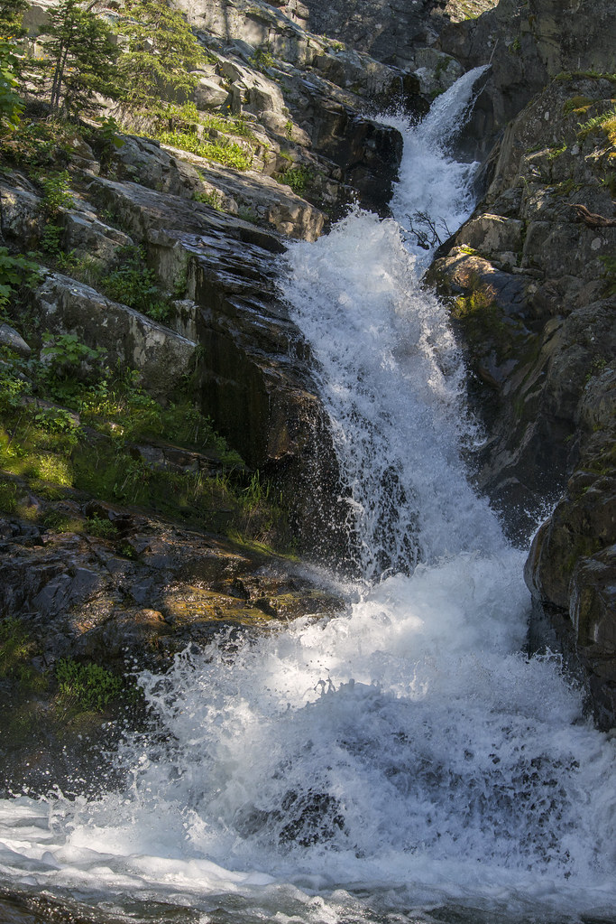
Appistoki Falls is a 60-foot, two-tier horsetail waterfall on Appistoki Creek in the Two Medicine area of Glacier National Park, Montana, in Glacier County. It sits in a narrow, wooded gorge a short walk from the Scenic Point trailhead, and the gorge hides most of it from view.
The falls
Lidar data puts the total drop at about 60 feet: an upper tier of about 10 feet and a main tier of about 50 feet. Earlier surveys listed 40 feet. Although a trail reaches the falls, the shape of the gorge and the surrounding trees leave them almost entirely out of sight.
Getting there
Appistoki Falls is 0.6 mile with 260 feet of gain from the Scenic Point parking area, 0.25 mile east of the Two Medicine Ranger Station. The same lot serves the longer Scenic Point trail.
For road rehabilitation, the Park Service closed Two Medicine Road at the Running Eagle Falls Trailhead on September 8, 2026, and planned to move the closure back to the junction with Highway 49 in mid-to-late September. Both points are short of the Scenic Point parking area. The work is scheduled to run into late 2027, possibly 2028, and the park says trail access will be kept "as feasible." Check the project page before driving in.
Admission from May to October is $35 per vehicle for seven days, or $25 from November to April. Non-US residents aged 16 and older pay another $100 unless a qualifying pass covers them.
When to go
Appistoki Creek runs much lower in autumn than on June and July visits.
On site
Pets aren't allowed on Glacier's trails. In May 1998 a hiker walking alone, Craig Dahl, was killed by a bear near Appistoki Falls.
History and name
Topographer R. T. Evans named the peak, the creek and the falls. A Blackfeet guide explained Appistoki as the being who watches over everything.
Nearby
Running Eagle Falls is about 1.1 miles away, and Sky Lake Falls about 1.7 miles. Rockwell Falls and Twin Falls are about 3.1 and 3.4 miles away.
Distances are straight-line.